Taylor is a city in Wayne County in the U.S. state of Michigan. Its population was 63,409 at the 2020 census. Taylor is the fifth most-populated city in Wayne County and the 17th most-populated city in Michigan.
The area was originally a civil township known as Taylor Township, which was organized in 1848 and later incorporated as the city of Taylor in 1968. Taylor is the most-populated municipality of the Downriver community, and it is located about 5 miles (8.0 km) west of the southern border of Detroit and about 15 miles (24.1 km) southwest of Downtown Detroit.
Taylor is home to the Southland Center, Taylor Sportsplex, Beaumont Hospital – Taylor, the Downriver Campus of the Wayne County Community College District, and is the founding location of Hungry Howie’s Pizza. The city was also home to the now-demolished Gibraltar Trade Center. Heritage Park is located within the city and hosts the Junior League World Series, which invites youth baseball players from all over the world for an annual tournament in August. The city is served by the Taylor School District.
| Name: | Taylor city |
|---|---|
| LSAD Code: | 25 |
| LSAD Description: | city (suffix) |
| State: | Michigan |
| County: | Wayne County |
| Incorporated: | 1968 |
| Elevation: | 614 ft (187 m) |
| Land Area: | 23.62 sq mi (61.17 km²) |
| Water Area: | 0.02 sq mi (0.05 km²) |
| Population Density: | 2,685.00/sq mi (1,036.67/km²) |
| Area code: | 313 and 734 |
| FIPS code: | 2679000 |
| GNISfeature ID: | 1614609 |
Online Interactive Map
Click on ![]() to view map in "full screen" mode.
to view map in "full screen" mode.
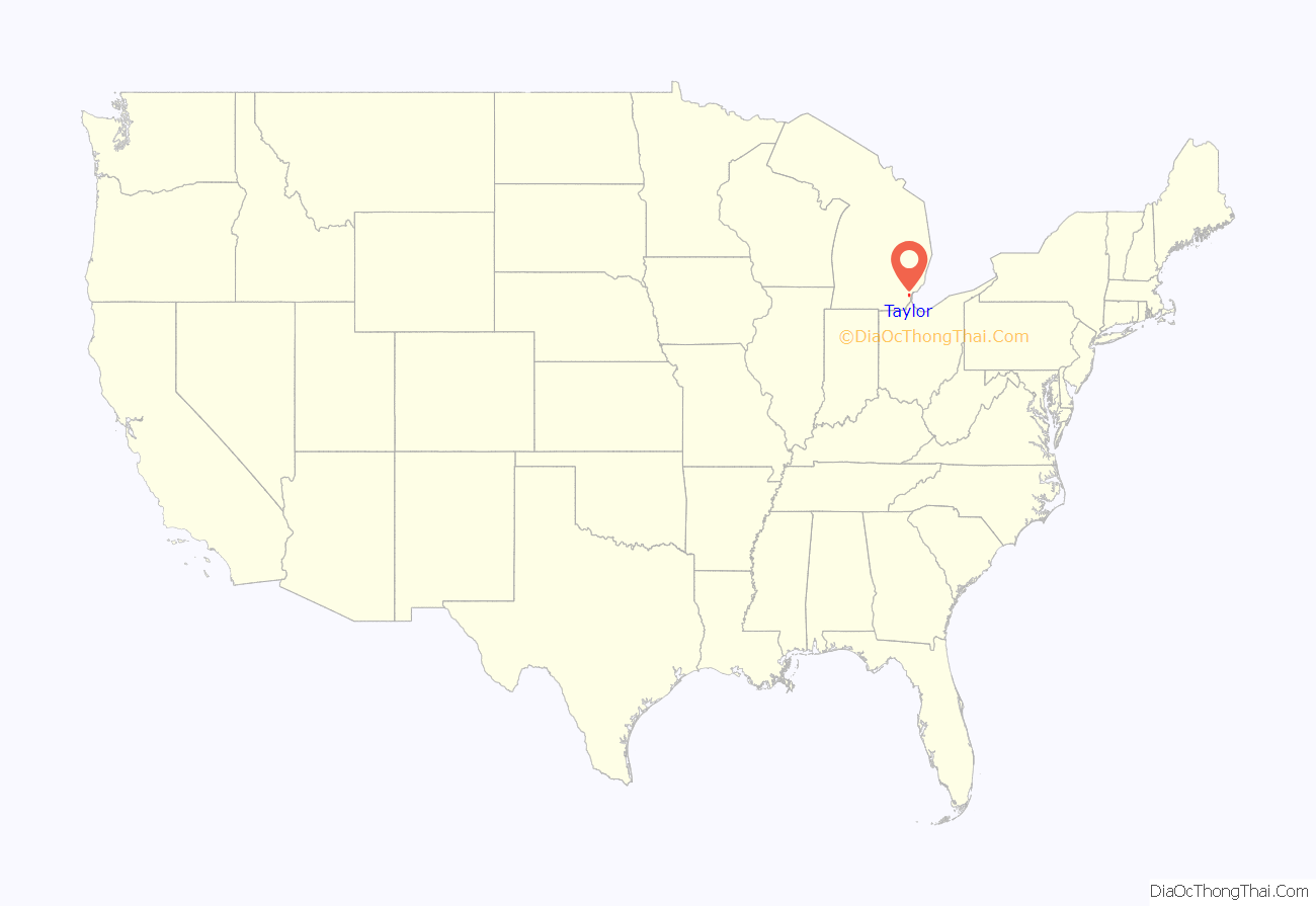
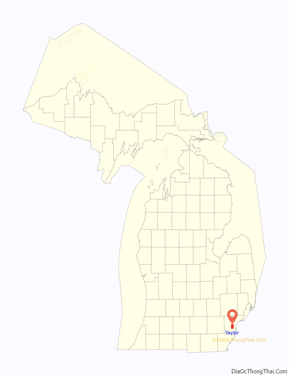
Taylor location map. Where is Taylor city?
History
Predecessor
The city of Taylor traces its origins back to when it was originally part of Ecorse Township to the west. At this time the land was mostly rural farm land with little development.
The first landowner in the area was Peter Coan, who purchased an 80-acre (32 ha) parcel from the US government in 1830. The Coan family name continues through the existence of the artificial Coan Lake in Heritage Park, which was named in his honor.
Township
Many residents in the western portion of the township found that they lived too far away to participate in the civic affairs and functions of the township. Because of this, the residents petitioned to form a separate community. The petition was granted in 1847 and the new community was named Taylor Township. The township was named after Major General Zachary Taylor, a hero of the Mexican–American War who would go on to serve as the twelfth president of the United States.
A small train station was built in 1876 after the Wabash Railroad built a railroad line through Taylor Township. George E Hand sold the right-of-way through his land and the station was named after him. The area to some locals became known as “Hand Corners”. The original station was destroyed in a fire in 1965 however a near replica was built at Heritage Park.
In 1882, German settlers in Taylor built the West Mound United Methodist Church on Eureka Road. The church sat located on Eureka Road until 1994 when it was sold to the city and relocated to Heritage Park. The church had a major fire in 2020 while construction work was being done.
In 1954, the first American Bektashi Sufi lodge with significant support from the Albanian-American community of the Detroit area.
City formation and incorporation
On November 8, 1966, citizens voted in favor of the township becoming the City of Taylor, however the city would not be officially incorporated until March 6, 1968, when the city’s charter was officially approved by then governor George W. Romney a few years after the city’s founding.
President Bill Clinton attended the commemoration ceremony for the new Department of Public works building grand opening in 1996.
During the middle of 2005 in preparation for Super Bowl XL in Detroit the following year, a large blue bridge was built at the intersection of Telegraph Road and I-94. It is known as the Gateway Bridge and was claimed to be Detroit’s “new icon” by STRUCTURE Magazine in 2006.
President Barack Obama visited the city while campaigning in 2008.
Corporal Matthew Edwards with the Taylor Police Department died from a fatal gunshot wound after responding to a burglary in an apartment complex in mid-2010. Edwards funeral saw participation from many local and federal law enforcement agencies during the procession.
In 2019, the FBI began a federal investigation of then Mayor Rick Sollars and the City of Taylor for corruption. The FBI raided the City Hall along with the then mayor’s residence. The former mayor and city are currently still under investigation. At least one city official has pleaded guilty to bribery, as well as a local party store owner, and a local real estate developer as a result of the investigation.
The Taylor North Little League team qualified for the championship game at the 2021 Little League World Series, where they defeated a team from Hamilton, Ohio, becoming the first champion from Michigan since a team from Hamtramck won the 1959 edition of the tournament.
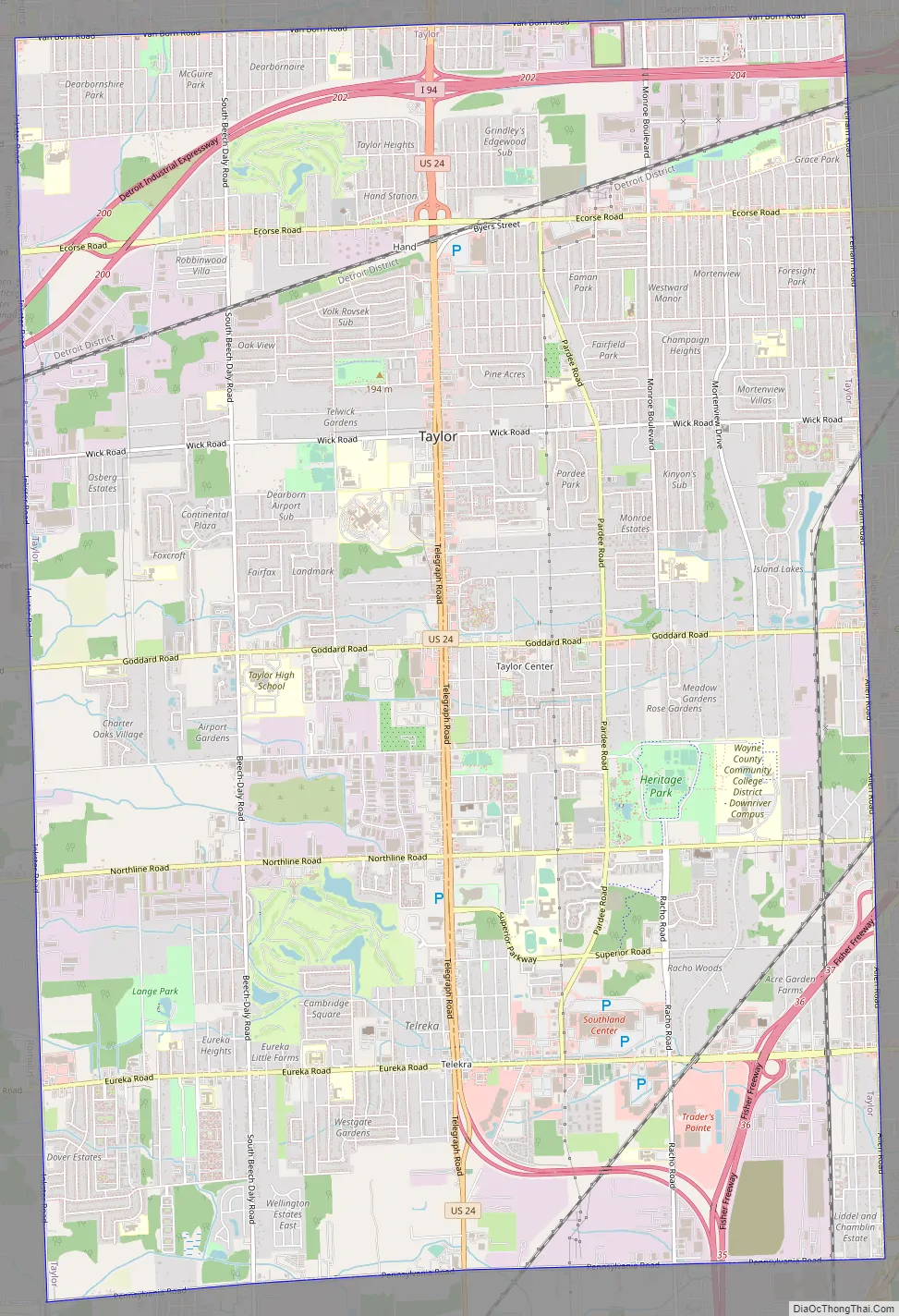
Taylor Road Map
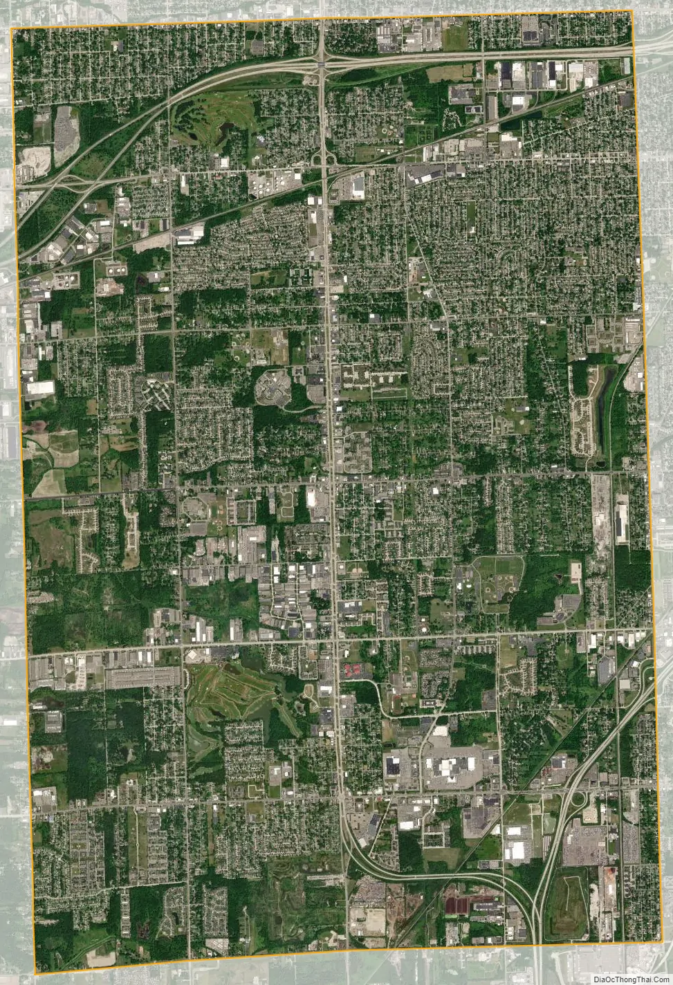
Taylor city Satellite Map
Geography
According to the United States Census Bureau, the city has a total area of 23.63 square miles (61.20 km), of which 23.60 square miles (61.12 km) is land and 0.03 square miles (0.08 km) (0.13%) is water.
Climate
Taylor has continental climate, meaning that it has cold winters and humid summers like many other places in the Great Lakes region. Taylor’s climate is unsurprisingly close to that of Detroit.
Main highways
- I-75 travels through the southwest corner of the city between Racho and Allen Roads.
- I-94 runs east–west through the northern part of the city between Van Born and Ecorse Roads.
- US 24, which is Telegraph Road, runs north–south through the city center, acting as the main thoroughfare in the city.
- Eureka Road is an important east–west artery in the city, which holds Taylor’s shopping district and intersects I-75.
- Van Born Road forms the northern border of Taylor, shared with Dearborn Heights. Just east of Taylor’s city limits, the road curves north and becomes Southfield Freeway.
- Goddard Road runs east–west through the center of the city and holds Taylor’s municipal buildings near its intersection with Telegraph.
- Northline Road runs east–west a mile south of Goddard and holds Wayne County Community College, as well as the southern entrance to the Heritage Park
- Allen Road and Pelham Road both form Taylor’s eastern border. Allen Road travels north–south as Taylor’s border with Southgate and then veers north-east into Allen Park, at which point Taylor’s border with Allen Park becomes Pelham Road.
- Inkster Road and Pennsylvania Road form Taylor’s western and southern borders, respectively.
Neighboring communities
The City of Taylor is bordered by seven other communities.
See also
Map of Michigan State and its subdivision:- Alcona
- Alger
- Allegan
- Alpena
- Antrim
- Arenac
- Baraga
- Barry
- Bay
- Benzie
- Berrien
- Branch
- Calhoun
- Cass
- Charlevoix
- Cheboygan
- Chippewa
- Clare
- Clinton
- Crawford
- Delta
- Dickinson
- Eaton
- Emmet
- Genesee
- Gladwin
- Gogebic
- Grand Traverse
- Gratiot
- Hillsdale
- Houghton
- Huron
- Ingham
- Ionia
- Iosco
- Iron
- Isabella
- Jackson
- Kalamazoo
- Kalkaska
- Kent
- Keweenaw
- Lake
- Lake Hurron
- Lake Michigan
- Lake St. Clair
- Lake Superior
- Lapeer
- Leelanau
- Lenawee
- Livingston
- Luce
- Mackinac
- Macomb
- Manistee
- Marquette
- Mason
- Mecosta
- Menominee
- Midland
- Missaukee
- Monroe
- Montcalm
- Montmorency
- Muskegon
- Newaygo
- Oakland
- Oceana
- Ogemaw
- Ontonagon
- Osceola
- Oscoda
- Otsego
- Ottawa
- Presque Isle
- Roscommon
- Saginaw
- Saint Clair
- Saint Joseph
- Sanilac
- Schoolcraft
- Shiawassee
- Tuscola
- Van Buren
- Washtenaw
- Wayne
- Wexford
- Alabama
- Alaska
- Arizona
- Arkansas
- California
- Colorado
- Connecticut
- Delaware
- District of Columbia
- Florida
- Georgia
- Hawaii
- Idaho
- Illinois
- Indiana
- Iowa
- Kansas
- Kentucky
- Louisiana
- Maine
- Maryland
- Massachusetts
- Michigan
- Minnesota
- Mississippi
- Missouri
- Montana
- Nebraska
- Nevada
- New Hampshire
- New Jersey
- New Mexico
- New York
- North Carolina
- North Dakota
- Ohio
- Oklahoma
- Oregon
- Pennsylvania
- Rhode Island
- South Carolina
- South Dakota
- Tennessee
- Texas
- Utah
- Vermont
- Virginia
- Washington
- West Virginia
- Wisconsin
- Wyoming


