Tustin is a village in Osceola County of the U.S. state of Michigan. The population was 230 at the 2010 census. The village is within Burdell Township.
| Name: | Tustin village |
|---|---|
| LSAD Code: | 47 |
| LSAD Description: | village (suffix) |
| State: | Michigan |
| County: | Osceola County |
| Elevation: | 1,227 ft (374 m) |
| Total Area: | 0.39 sq mi (1.00 km²) |
| Land Area: | 0.39 sq mi (1.00 km²) |
| Water Area: | 0.00 sq mi (0.00 km²) |
| Total Population: | 270 |
| Population Density: | 695.88/sq mi (268.83/km²) |
| ZIP code: | 49688 |
| Area code: | 231 |
| FIPS code: | 2680960 |
| GNISfeature ID: | 1615213 |
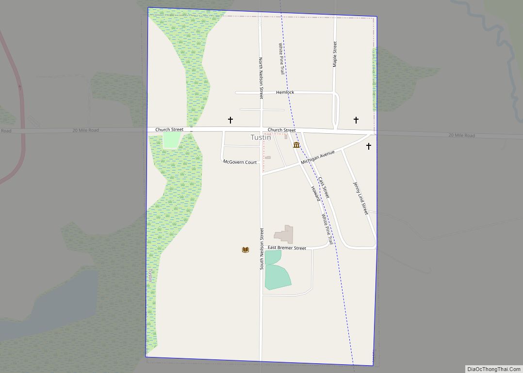
Online Interactive Map
Click on ![]() to view map in "full screen" mode.
to view map in "full screen" mode.
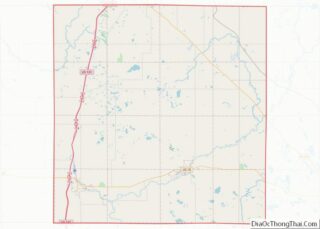
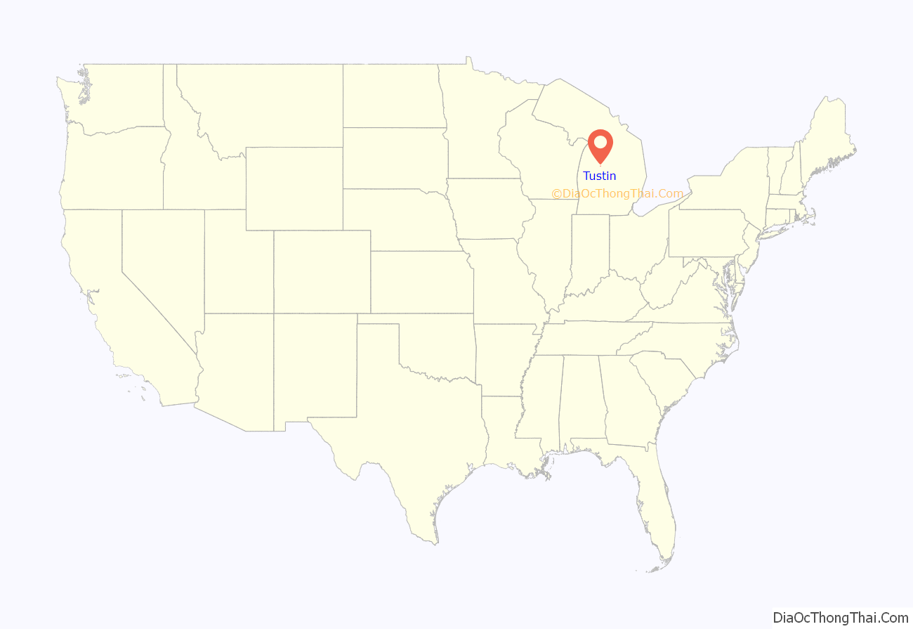
Tustin location map. Where is Tustin village?

History
In the summer of 2021, Camp Gan Israel of Michigan (based in Kalkaska Township, Michigan), a branch of the central Camp Gan Israel, headquartered in Kiryat Gan Israel (Parksville), NY purchased the grounds of the Kettunen Center The year 2021-5781 marks 80 years since the Lubavitcher Rebbe Menachem Mendel Schneersohn, and his wife, Rebbetzin Chaya Moussia, came to America.
2010 census
As of the census of 2010, there were 230 people, 90 households, and 59 families living in the village. The population density was 589.7 inhabitants per square mile (227.7/km). There were 96 housing units at an average density of 246.2 per square mile (95.1/km). The racial makeup of the village was 95.2% White, 0.4% African American, 1.3% Asian, 0.4% from other races, and 2.6% from two or more races. Hispanic or Latino of any race were 1.3% of the population.
There were 90 households, of which 32.2% had children under the age of 18 living with them, 43.3% were married couples living together, 14.4% had a female householder with no husband present, 7.8% had a male householder with no wife present, and 34.4% were non-families. 23.3% of all households were made up of individuals, and 13.3% had someone living alone who was 65 years of age or older. The average household size was 2.56 and the average family size was 2.88.
The median age in the village was 37 years. 23.9% of residents were under the age of 18; 10.8% were between the ages of 18 and 24; 22.6% were from 25 to 44; 30% were from 45 to 64; and 12.6% were 65 years of age or older. The gender makeup of the village was 50.4% male and 49.6% female.
2000 census
As of the census of 2000, there were 237 people, 88 households, and 63 families living in the village. The population density was 613.4 inhabitants per square mile (236.8/km). There were 92 housing units at an average density of 238.1 per square mile (91.9/km). The racial makeup of the village was 98.73% White and 1.27% Asian.
There were 88 households, out of which 35.2% had children under the age of 18 living with them, 47.7% were married couples living together, 19.3% had a female householder with no husband present, and 27.3% were non-families. 21.6% of all households were made up of individuals, and 13.6% had someone living alone who was 65 years of age or older. The average household size was 2.69 and the average family size was 3.13.
In the village, the population was spread out, with 29.1% under the age of 18, 10.5% from 18 to 24, 23.2% from 25 to 44, 22.4% from 45 to 64, and 14.8% who were 65 years of age or older. The median age was 36 years. For every 100 females, there were 88.1 males. For every 100 females age 18 and over, there were 78.7 males.
The median income for a household in the village was $29,063, and the median income for a family was $36,250. Males had a median income of $25,417 versus $15,000 for females. The per capita income for the village was $11,390. About 12.0% of families and 18.6% of the population were below the poverty line, including 14.9% of those under the age of 18 and 15.6% of those 65 or over.
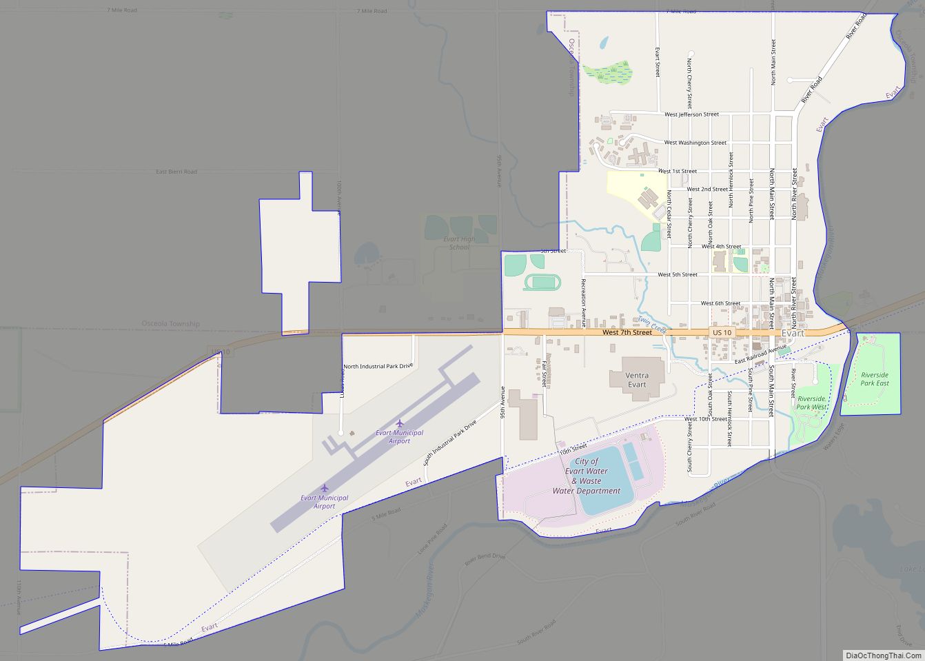
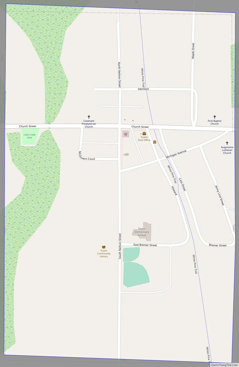
Tustin Road Map
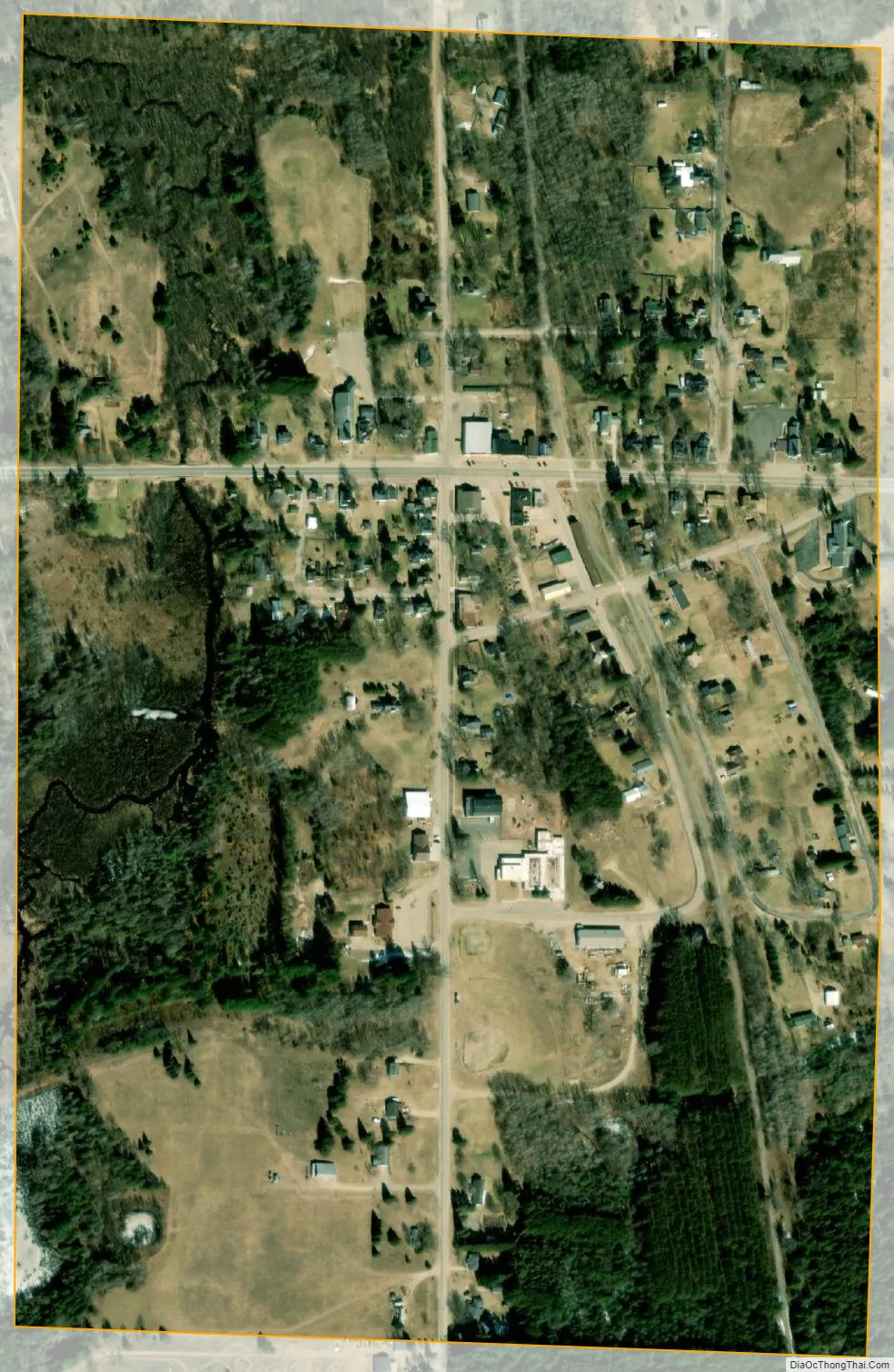
Tustin city Satellite Map
Geography
According to the United States Census Bureau, the village has a total area of 0.39 square miles (1.01 km), all land.
See also
Map of Michigan State and its subdivision:- Alcona
- Alger
- Allegan
- Alpena
- Antrim
- Arenac
- Baraga
- Barry
- Bay
- Benzie
- Berrien
- Branch
- Calhoun
- Cass
- Charlevoix
- Cheboygan
- Chippewa
- Clare
- Clinton
- Crawford
- Delta
- Dickinson
- Eaton
- Emmet
- Genesee
- Gladwin
- Gogebic
- Grand Traverse
- Gratiot
- Hillsdale
- Houghton
- Huron
- Ingham
- Ionia
- Iosco
- Iron
- Isabella
- Jackson
- Kalamazoo
- Kalkaska
- Kent
- Keweenaw
- Lake
- Lake Hurron
- Lake Michigan
- Lake St. Clair
- Lake Superior
- Lapeer
- Leelanau
- Lenawee
- Livingston
- Luce
- Mackinac
- Macomb
- Manistee
- Marquette
- Mason
- Mecosta
- Menominee
- Midland
- Missaukee
- Monroe
- Montcalm
- Montmorency
- Muskegon
- Newaygo
- Oakland
- Oceana
- Ogemaw
- Ontonagon
- Osceola
- Oscoda
- Otsego
- Ottawa
- Presque Isle
- Roscommon
- Saginaw
- Saint Clair
- Saint Joseph
- Sanilac
- Schoolcraft
- Shiawassee
- Tuscola
- Van Buren
- Washtenaw
- Wayne
- Wexford
- Alabama
- Alaska
- Arizona
- Arkansas
- California
- Colorado
- Connecticut
- Delaware
- District of Columbia
- Florida
- Georgia
- Hawaii
- Idaho
- Illinois
- Indiana
- Iowa
- Kansas
- Kentucky
- Louisiana
- Maine
- Maryland
- Massachusetts
- Michigan
- Minnesota
- Mississippi
- Missouri
- Montana
- Nebraska
- Nevada
- New Hampshire
- New Jersey
- New Mexico
- New York
- North Carolina
- North Dakota
- Ohio
- Oklahoma
- Oregon
- Pennsylvania
- Rhode Island
- South Carolina
- South Dakota
- Tennessee
- Texas
- Utah
- Vermont
- Virginia
- Washington
- West Virginia
- Wisconsin
- Wyoming