Grosse Pointe Shores is a city in Macomb and Wayne County in the U.S. state of Michigan. The population was 3,008 at the 2010 census.
Grosse Pointe Shores was incorporated as a village in 1911 and was part of Grosse Pointe Township in Wayne County and Lake Township in Macomb County. Both townships became defunct with the village incorporated as a city in 2009. It is a northeastern suburb of Metro Detroit and is the northernmost city included into the Grosse Pointe area. Located along the shores of Lake St. Clair, the city is well known as the location of the Edsel and Eleanor Ford House and the Grosse Pointe Yacht Club.
| Name: | Village of Grosse Pointe Shores city |
|---|---|
| LSAD Code: | 25 |
| LSAD Description: | city (suffix) |
| State: | Michigan |
| County: | Macomb County, Wayne County |
| Incorporated: | 1911 (village) 2009 (city) |
| Elevation: | 581 ft (177 m) |
| Land Area: | 1.11 sq mi (2.88 km²) |
| Water Area: | 17.96 sq mi (46.53 km²) |
| Population Density: | 2,378.26/sq mi (917.87/km²) |
| Area code: | 313 |
| FIPS code: | 2682453 |
| GNISfeature ID: | 2398212 |
Online Interactive Map
Click on ![]() to view map in "full screen" mode.
to view map in "full screen" mode.
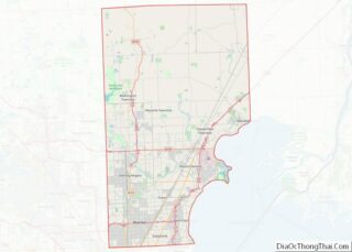
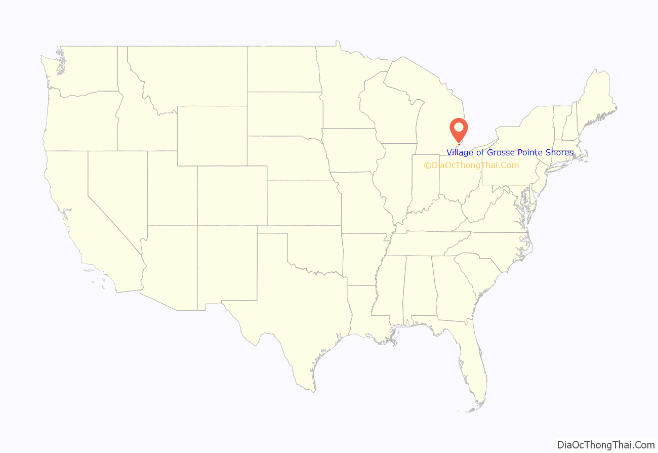
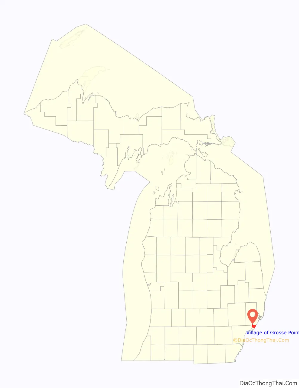
Village of Grosse Pointe Shores location map. Where is Village of Grosse Pointe Shores city?
History
Grosse Pointe Shores was incorporated as a village in 1911. The village incorporated as a city in 2009. In 2011, the city government stated that it is considering trying to move all of the city into Macomb County, since Macomb County has lower taxes than Wayne County.
Village of Grosse Pointe Shores Road Map
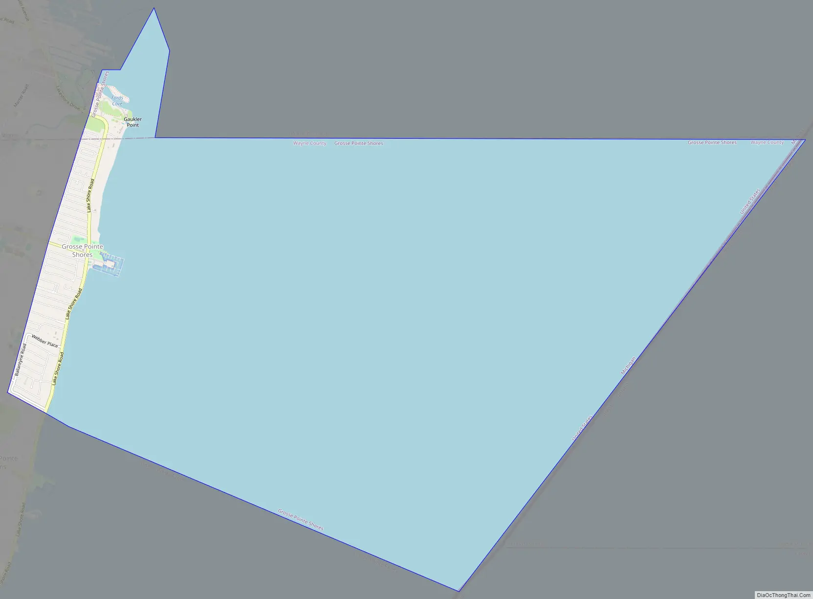
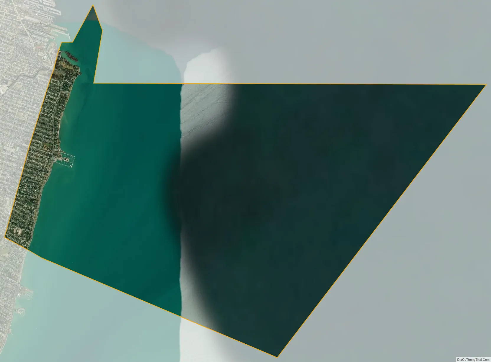
Village of Grosse Pointe Shores city Satellite Map
Geography
According to the United States Census Bureau, the city has a total area of 19.23 square miles (49.81 km), of which 1.15 square miles (2.98 km) is land and 18.08 square miles (46.83 km) is water, (part of Lake St. Clair).
See also
Map of Michigan State and its subdivision:- Alcona
- Alger
- Allegan
- Alpena
- Antrim
- Arenac
- Baraga
- Barry
- Bay
- Benzie
- Berrien
- Branch
- Calhoun
- Cass
- Charlevoix
- Cheboygan
- Chippewa
- Clare
- Clinton
- Crawford
- Delta
- Dickinson
- Eaton
- Emmet
- Genesee
- Gladwin
- Gogebic
- Grand Traverse
- Gratiot
- Hillsdale
- Houghton
- Huron
- Ingham
- Ionia
- Iosco
- Iron
- Isabella
- Jackson
- Kalamazoo
- Kalkaska
- Kent
- Keweenaw
- Lake
- Lake Hurron
- Lake Michigan
- Lake St. Clair
- Lake Superior
- Lapeer
- Leelanau
- Lenawee
- Livingston
- Luce
- Mackinac
- Macomb
- Manistee
- Marquette
- Mason
- Mecosta
- Menominee
- Midland
- Missaukee
- Monroe
- Montcalm
- Montmorency
- Muskegon
- Newaygo
- Oakland
- Oceana
- Ogemaw
- Ontonagon
- Osceola
- Oscoda
- Otsego
- Ottawa
- Presque Isle
- Roscommon
- Saginaw
- Saint Clair
- Saint Joseph
- Sanilac
- Schoolcraft
- Shiawassee
- Tuscola
- Van Buren
- Washtenaw
- Wayne
- Wexford
- Alabama
- Alaska
- Arizona
- Arkansas
- California
- Colorado
- Connecticut
- Delaware
- District of Columbia
- Florida
- Georgia
- Hawaii
- Idaho
- Illinois
- Indiana
- Iowa
- Kansas
- Kentucky
- Louisiana
- Maine
- Maryland
- Massachusetts
- Michigan
- Minnesota
- Mississippi
- Missouri
- Montana
- Nebraska
- Nevada
- New Hampshire
- New Jersey
- New Mexico
- New York
- North Carolina
- North Dakota
- Ohio
- Oklahoma
- Oregon
- Pennsylvania
- Rhode Island
- South Carolina
- South Dakota
- Tennessee
- Texas
- Utah
- Vermont
- Virginia
- Washington
- West Virginia
- Wisconsin
- Wyoming