Eastpointe (formerly East Detroit) is a city on the southern edge of Macomb County, Michigan, United States. As of the 2010 census, the city population was 32,442. Eastpointe forms a part of the Metro Detroit area. It borders 8 Mile Road on the northern edge of Detroit.
| Name: | Eastpointe city |
|---|---|
| LSAD Code: | 25 |
| LSAD Description: | city (suffix) |
| State: | Michigan |
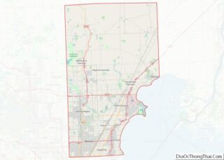
| County: | Macomb County |
| Incorporated: | 1924 (village) as Halfway 1929 (city) as East Detroit |
| Elevation: | 614 ft (187 m) |
| Total Area: | 5.16 sq mi (13.36 km²) |
| Land Area: | 5.16 sq mi (13.36 km²) |
| Water Area: | 0.00 sq mi (0.01 km²) |
| Total Population: | 34,318 |
| Population Density: | 6,653.35/sq mi (2,569.06/km²) |
| Area code: | 586 |
| FIPS code: | 2624290 |
| GNISfeature ID: | 1623024 |
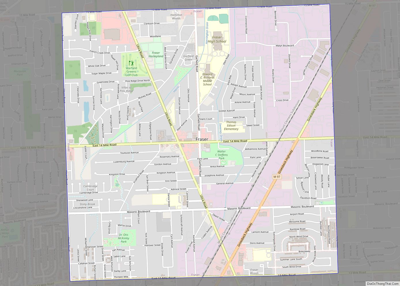
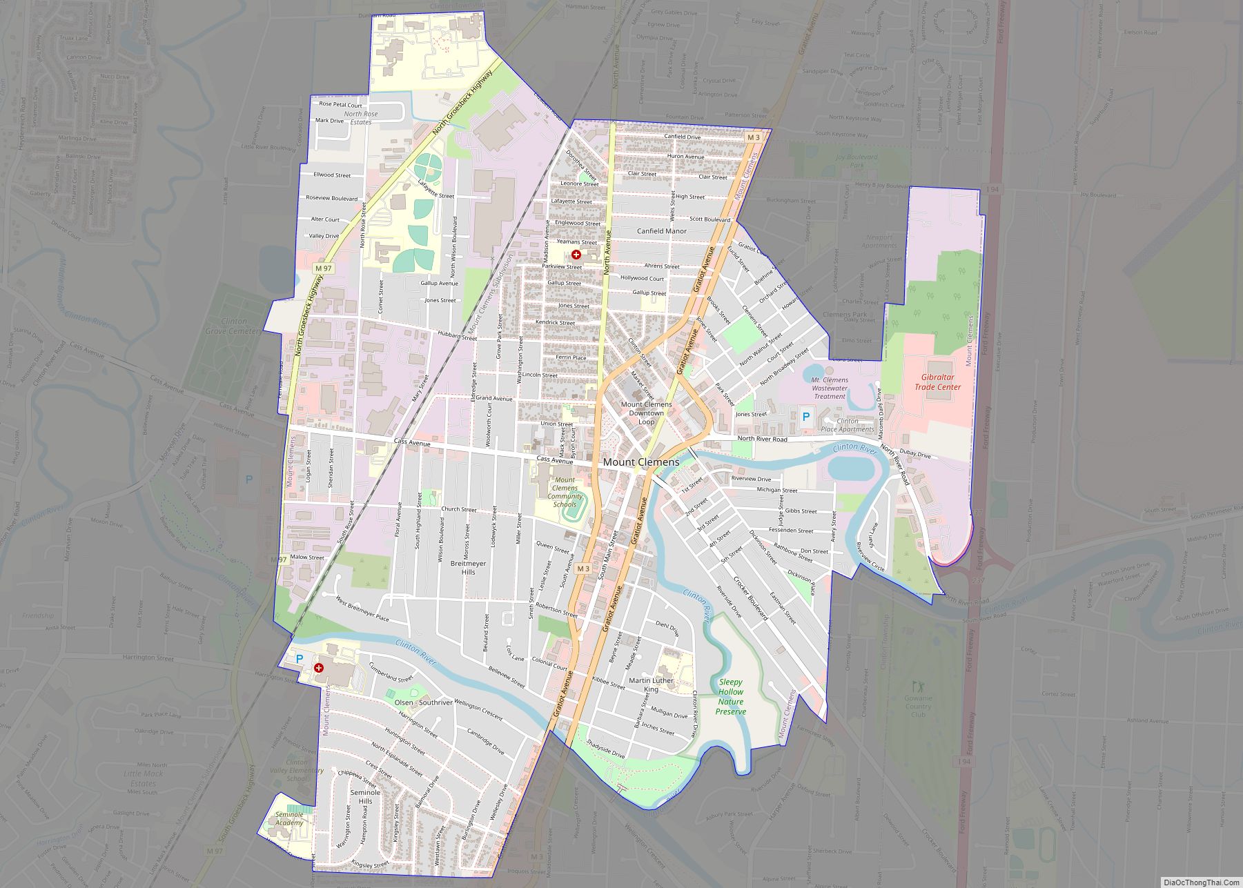
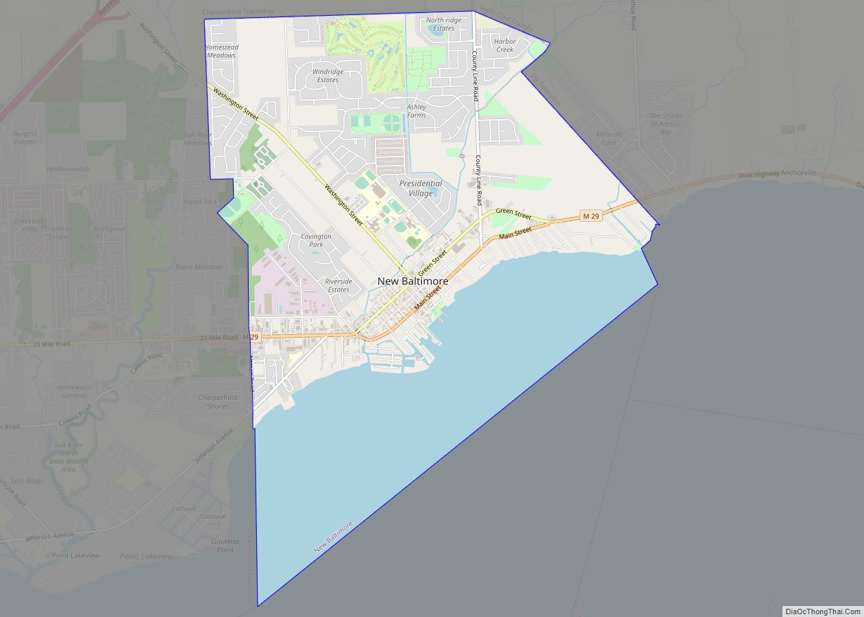
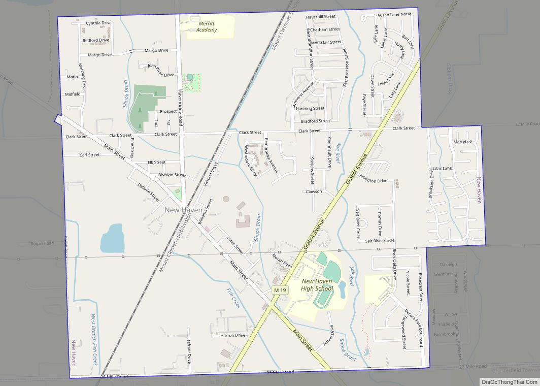
Online Interactive Map
Click on ![]() to view map in "full screen" mode.
to view map in "full screen" mode.
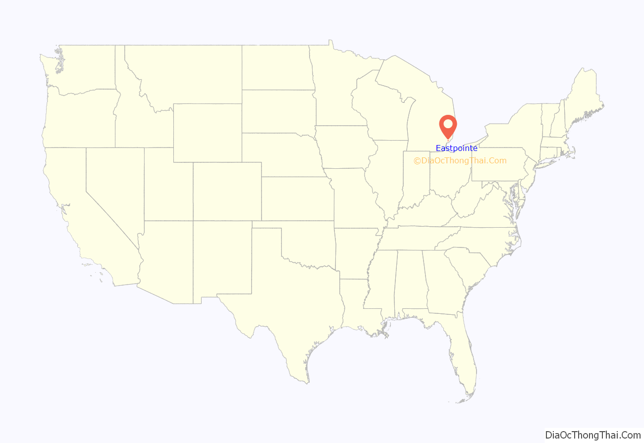
Eastpointe location map. Where is Eastpointe city?

History
The community was first settled by Irish and German immigrants in the 1830s. In October 1897, a Post Office was established there with the name of “Half-way”, as it was near the halfway point of the stage run between downtown Detroit and the Macomb County seat at Mount Clemens. It incorporated as the village of Halfway in December 1924 and reincorporated as the City of East Detroit in January 1929. Prior to 1924, most of the community formed a part of Erin Township. The city changed its name to “Eastpointe” after the change was approved by residents in a 1992 referendum; the name change had been proposed to remove any perceived association with the adjacent city of Detroit; the “pointe” suffix is intended to associate the city instead with the nearby affluent communities of the Grosse Pointes.
The city’s school district was unaffected by the municipal name change, and was called East Detroit Public Schools until 2017, when it changed the district name to Eastpointe Community Schools to align with the community name. It has one high school (Eastpointe High School), one middle school (Eastpointe Middle School), and four elementary schools. The primary district boundaries of Eastpointe Community Schools encompass the City of Eastpointe and the southeastern portion of the city of Warren.
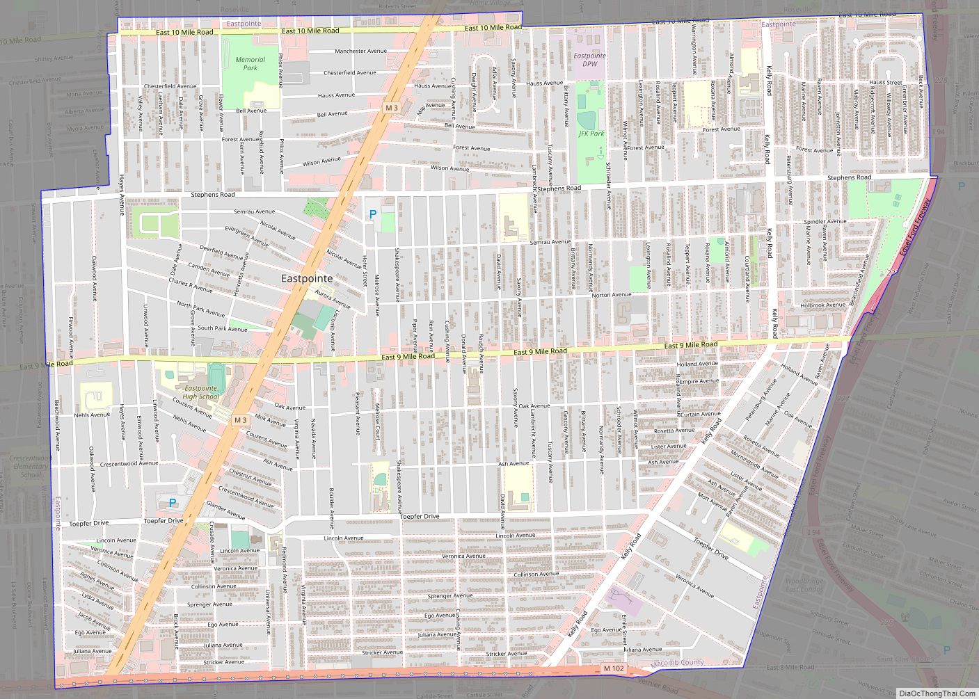
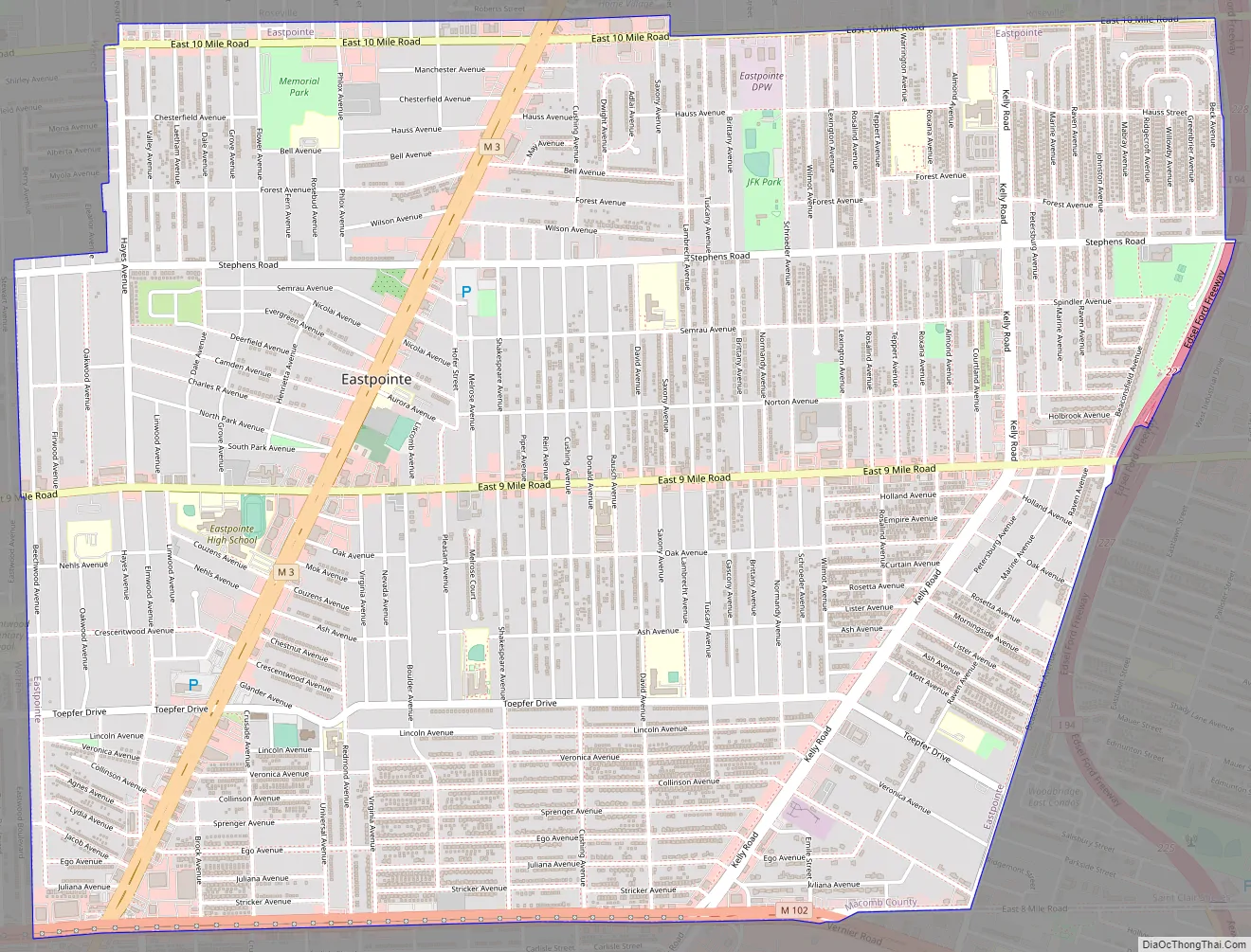
Eastpointe Road Map
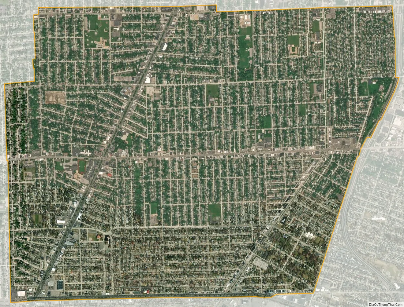
Eastpointe city Satellite Map
Geography
According to the United States Census Bureau, the city has a total area of 5.14 square miles (13.31 km), all land. The city of Eastpointe borders Beechwood Avenue (up until it reaches Stephen Road, where it switches over to Hayes) on its western border, 8 Mile/M-102 on its southern border, Beaconsfield/the southern and western bound section of the I-94 service drive on its eastern border, and roughly 10 Mile Road on its northern border.
See also
Map of Michigan State and its subdivision:- Alcona
- Alger
- Allegan
- Alpena
- Antrim
- Arenac
- Baraga
- Barry
- Bay
- Benzie
- Berrien
- Branch
- Calhoun
- Cass
- Charlevoix
- Cheboygan
- Chippewa
- Clare
- Clinton
- Crawford
- Delta
- Dickinson
- Eaton
- Emmet
- Genesee
- Gladwin
- Gogebic
- Grand Traverse
- Gratiot
- Hillsdale
- Houghton
- Huron
- Ingham
- Ionia
- Iosco
- Iron
- Isabella
- Jackson
- Kalamazoo
- Kalkaska
- Kent
- Keweenaw
- Lake
- Lake Hurron
- Lake Michigan
- Lake St. Clair
- Lake Superior
- Lapeer
- Leelanau
- Lenawee
- Livingston
- Luce
- Mackinac
- Macomb
- Manistee
- Marquette
- Mason
- Mecosta
- Menominee
- Midland
- Missaukee
- Monroe
- Montcalm
- Montmorency
- Muskegon
- Newaygo
- Oakland
- Oceana
- Ogemaw
- Ontonagon
- Osceola
- Oscoda
- Otsego
- Ottawa
- Presque Isle
- Roscommon
- Saginaw
- Saint Clair
- Saint Joseph
- Sanilac
- Schoolcraft
- Shiawassee
- Tuscola
- Van Buren
- Washtenaw
- Wayne
- Wexford
- Alabama
- Alaska
- Arizona
- Arkansas
- California
- Colorado
- Connecticut
- Delaware
- District of Columbia
- Florida
- Georgia
- Hawaii
- Idaho
- Illinois
- Indiana
- Iowa
- Kansas
- Kentucky
- Louisiana
- Maine
- Maryland
- Massachusetts
- Michigan
- Minnesota
- Mississippi
- Missouri
- Montana
- Nebraska
- Nevada
- New Hampshire
- New Jersey
- New Mexico
- New York
- North Carolina
- North Dakota
- Ohio
- Oklahoma
- Oregon
- Pennsylvania
- Rhode Island
- South Carolina
- South Dakota
- Tennessee
- Texas
- Utah
- Vermont
- Virginia
- Washington
- West Virginia
- Wisconsin
- Wyoming