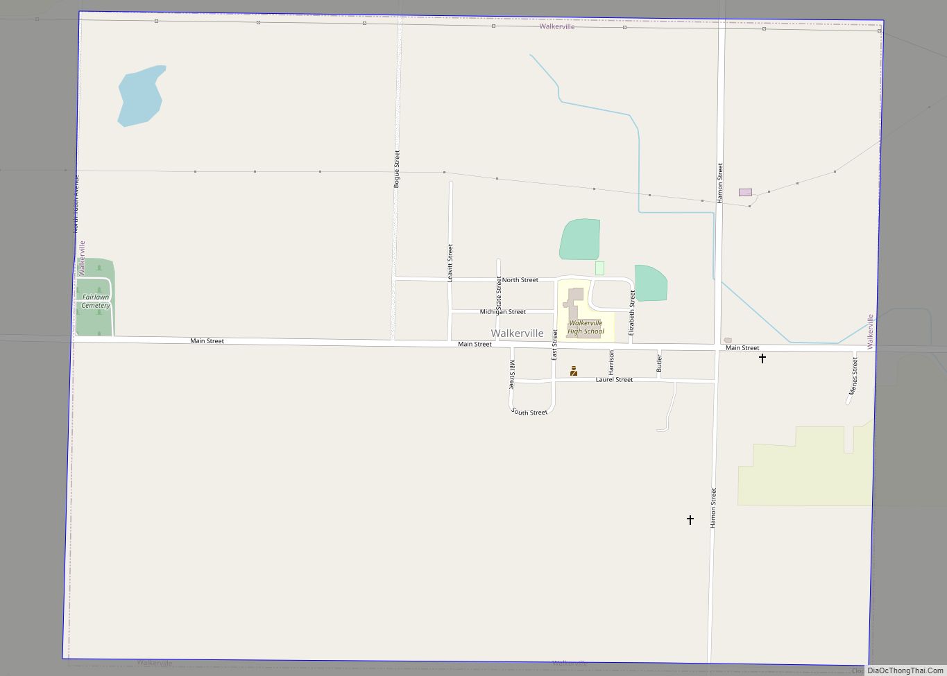
Walkerville is a village in Oceana County of the U.S. state of Michigan. The population was 247 at the 2010 census. The village is located within Leavitt Township.
| Name: | Walkerville village |
|---|---|
| LSAD Code: | 47 |
| LSAD Description: | village (suffix) |
| State: | Michigan |
| County: | Oceana County |
| Elevation: | 889 ft (271 m) |
| Total Area: | 1.24 sq mi (3.22 km²) |
| Land Area: | 1.24 sq mi (3.22 km²) |
| Water Area: | 0.00 sq mi (0.00 km²) |
| Total Population: | 246 |
| Population Density: | 197.75/sq mi (76.37/km²) |
| ZIP code: | 49459 |
| Area code: | 231 |
| FIPS code: | 2683020 |
| GNISfeature ID: | 1622051 |
Online Interactive Map
Click on ![]() to view map in "full screen" mode.
to view map in "full screen" mode.
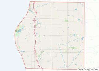
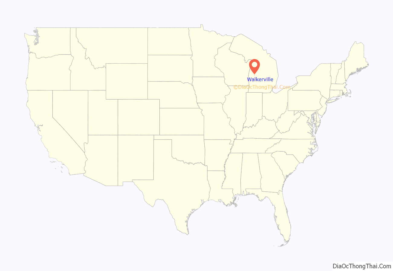
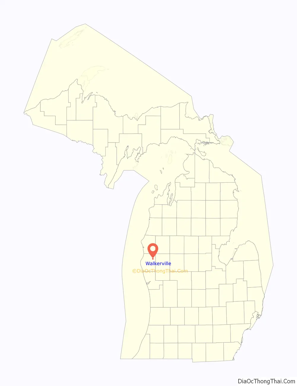
Walkerville location map. Where is Walkerville village?
History
Walkerville was founded by the Walker family in the 19th century. At one point, the village had a very busy railway passing through it. Walkerville suffered two major fires, which damaged the infrastructure greatly each time. Walkerville has not yet recovered to its post fire glory days. It currently is a community that helps in the cultivation of produce for which West Michigan is known, such as cherries, apples and asparagus.
In the summer of 2020, Camp Gan Israel of Michigan (based in Kalkaska Township, Michigan) expanded to a campgrounds in Walkerville, marking the first Jewish presence in the village with 100 staff and campers together making that more than a third of the town’s population!
At the climax of the summer, and to celebrate the 70th anniversary of the Rebbe’s leadership, the camp printed 100 copies of the 7482nd edition of the Tanya (an early work of Hasidic philosophy, by Rabbi Shneur Zalman of Liadi, the founder of Chabad Hasidism, first published in 1797) on the grounds in Walkerville, based on a campaign The Lubavitcher Rebbe made in 1977/8 to print a Tanya in Every city.
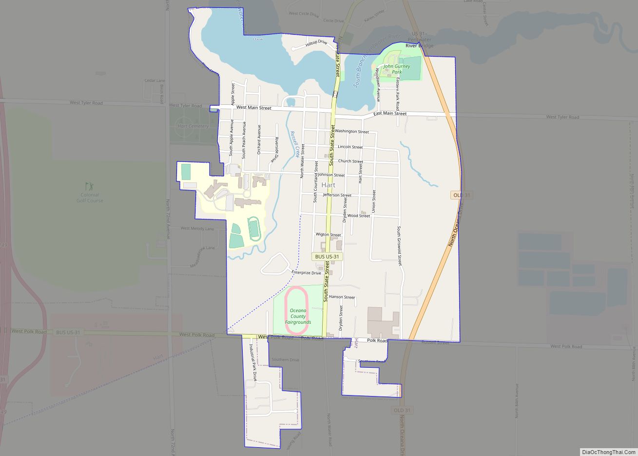
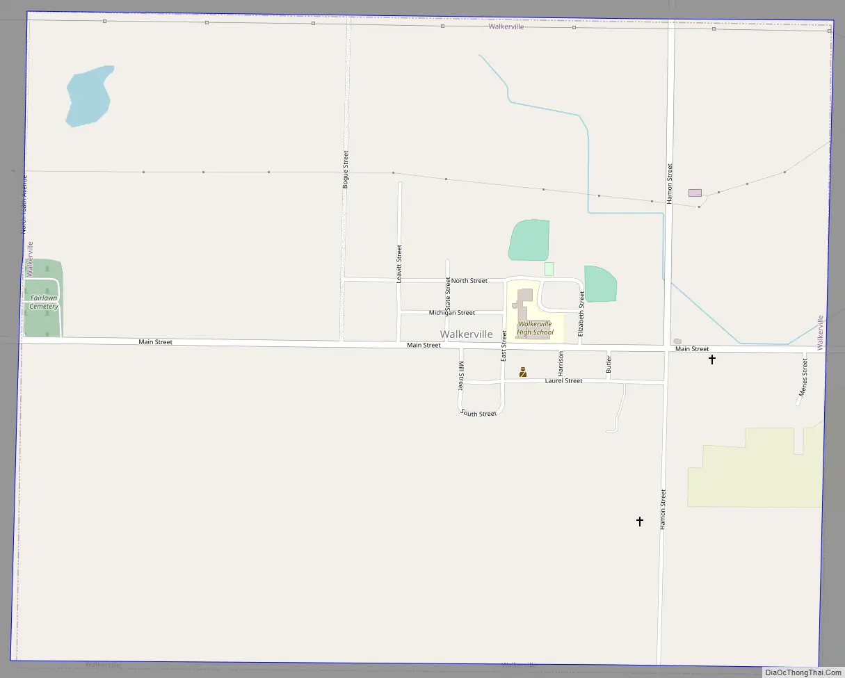
Walkerville Road Map
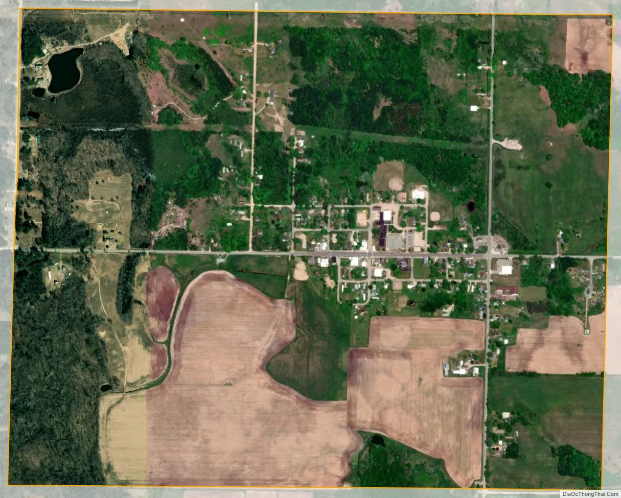
Walkerville city Satellite Map
Geography
According to the United States Census Bureau, the village has a total area of 1.21 square miles (3.13 km), of which 1.08 square miles (2.80 km) is land and 0.13 square miles (0.34 km) is water.
See also
Map of Michigan State and its subdivision:- Alcona
- Alger
- Allegan
- Alpena
- Antrim
- Arenac
- Baraga
- Barry
- Bay
- Benzie
- Berrien
- Branch
- Calhoun
- Cass
- Charlevoix
- Cheboygan
- Chippewa
- Clare
- Clinton
- Crawford
- Delta
- Dickinson
- Eaton
- Emmet
- Genesee
- Gladwin
- Gogebic
- Grand Traverse
- Gratiot
- Hillsdale
- Houghton
- Huron
- Ingham
- Ionia
- Iosco
- Iron
- Isabella
- Jackson
- Kalamazoo
- Kalkaska
- Kent
- Keweenaw
- Lake
- Lake Hurron
- Lake Michigan
- Lake St. Clair
- Lake Superior
- Lapeer
- Leelanau
- Lenawee
- Livingston
- Luce
- Mackinac
- Macomb
- Manistee
- Marquette
- Mason
- Mecosta
- Menominee
- Midland
- Missaukee
- Monroe
- Montcalm
- Montmorency
- Muskegon
- Newaygo
- Oakland
- Oceana
- Ogemaw
- Ontonagon
- Osceola
- Oscoda
- Otsego
- Ottawa
- Presque Isle
- Roscommon
- Saginaw
- Saint Clair
- Saint Joseph
- Sanilac
- Schoolcraft
- Shiawassee
- Tuscola
- Van Buren
- Washtenaw
- Wayne
- Wexford
- Alabama
- Alaska
- Arizona
- Arkansas
- California
- Colorado
- Connecticut
- Delaware
- District of Columbia
- Florida
- Georgia
- Hawaii
- Idaho
- Illinois
- Indiana
- Iowa
- Kansas
- Kentucky
- Louisiana
- Maine
- Maryland
- Massachusetts
- Michigan
- Minnesota
- Mississippi
- Missouri
- Montana
- Nebraska
- Nevada
- New Hampshire
- New Jersey
- New Mexico
- New York
- North Carolina
- North Dakota
- Ohio
- Oklahoma
- Oregon
- Pennsylvania
- Rhode Island
- South Carolina
- South Dakota
- Tennessee
- Texas
- Utah
- Vermont
- Virginia
- Washington
- West Virginia
- Wisconsin
- Wyoming