Watervliet is a city in Berrien County in the U.S. state of Michigan. Located in the northeastern part of the county, the population was 1,735 at the 2010 census, down from 1,843 at the 2000 census. Mostly a rural farming community, the name comes from the Dutch for “where the waters meet.” The city is surrounded by Watervliet Charter Township but is administered autonomously.
| Name: | Watervliet city |
|---|---|
| LSAD Code: | 25 |
| LSAD Description: | city (suffix) |
| State: | Michigan |
| County: | Berrien County |
| Elevation: | 646 ft (197 m) |
| Total Area: | 1.21 sq mi (3.14 km²) |
| Land Area: | 1.18 sq mi (3.06 km²) |
| Water Area: | 0.03 sq mi (0.09 km²) |
| Total Population: | 1,669 |
| Population Density: | 1,414.41/sq mi (546.10/km²) |
| Area code: | 269 |
| FIPS code: | 2684500 |
| GNISfeature ID: | 1615862 |
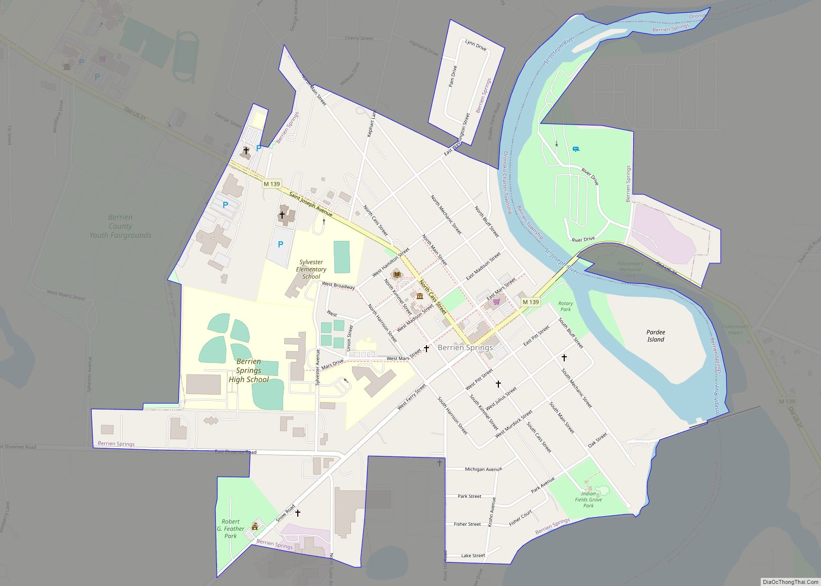
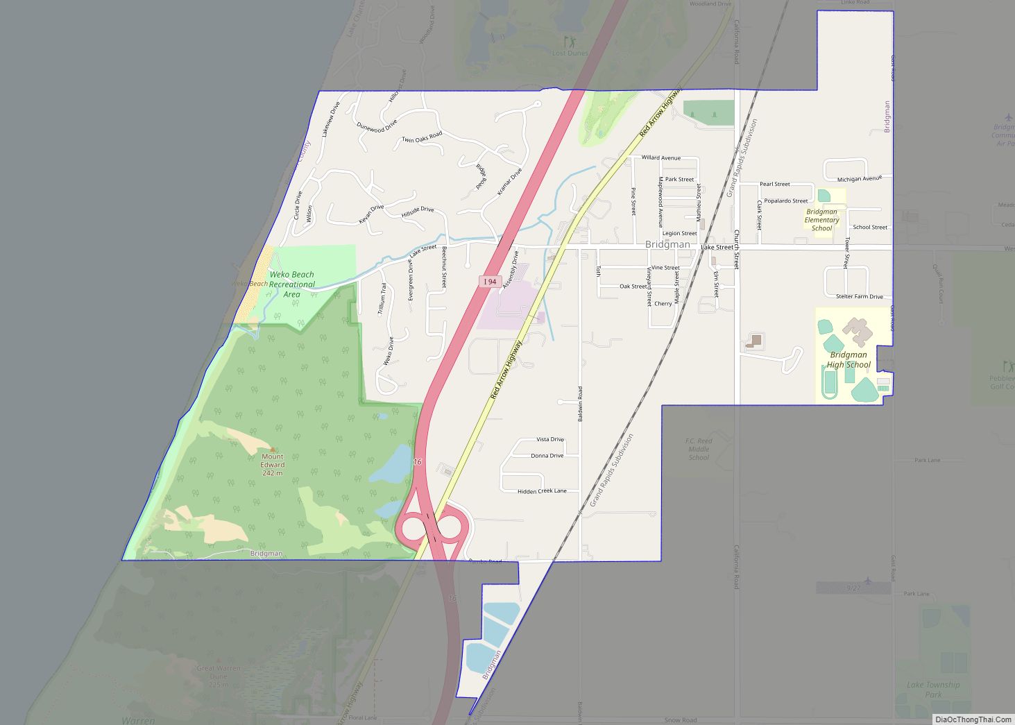
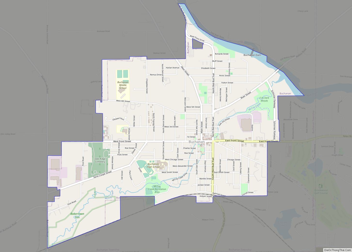
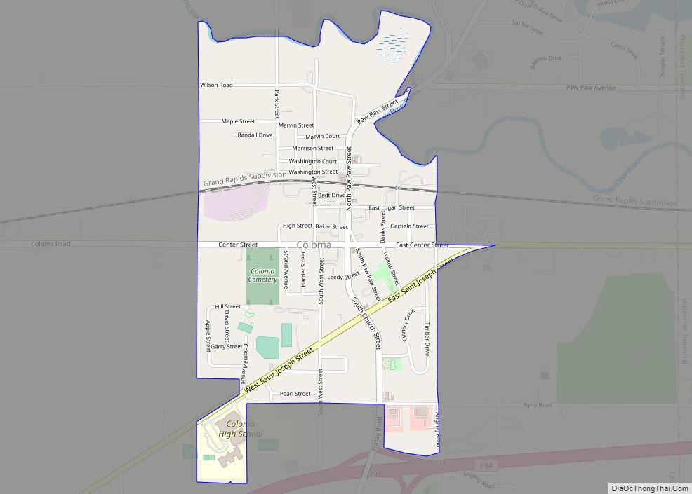
Online Interactive Map
Click on ![]() to view map in "full screen" mode.
to view map in "full screen" mode.
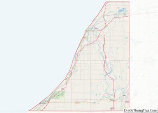
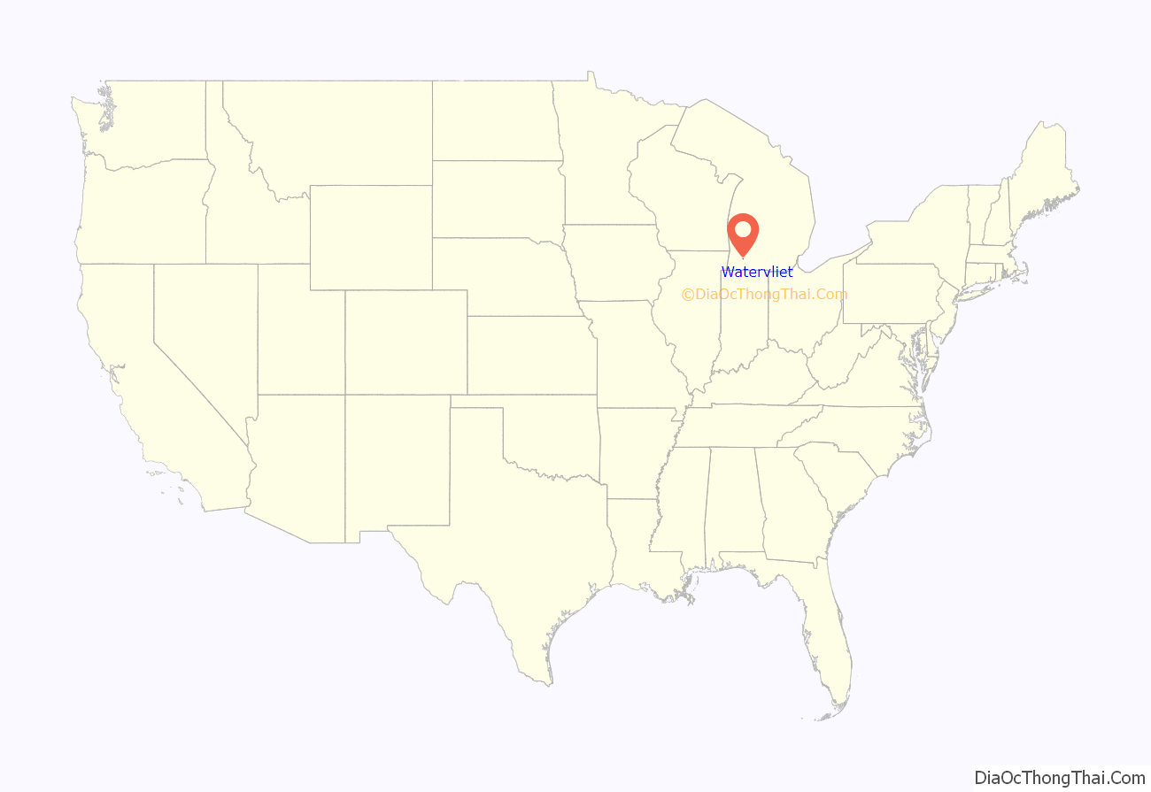
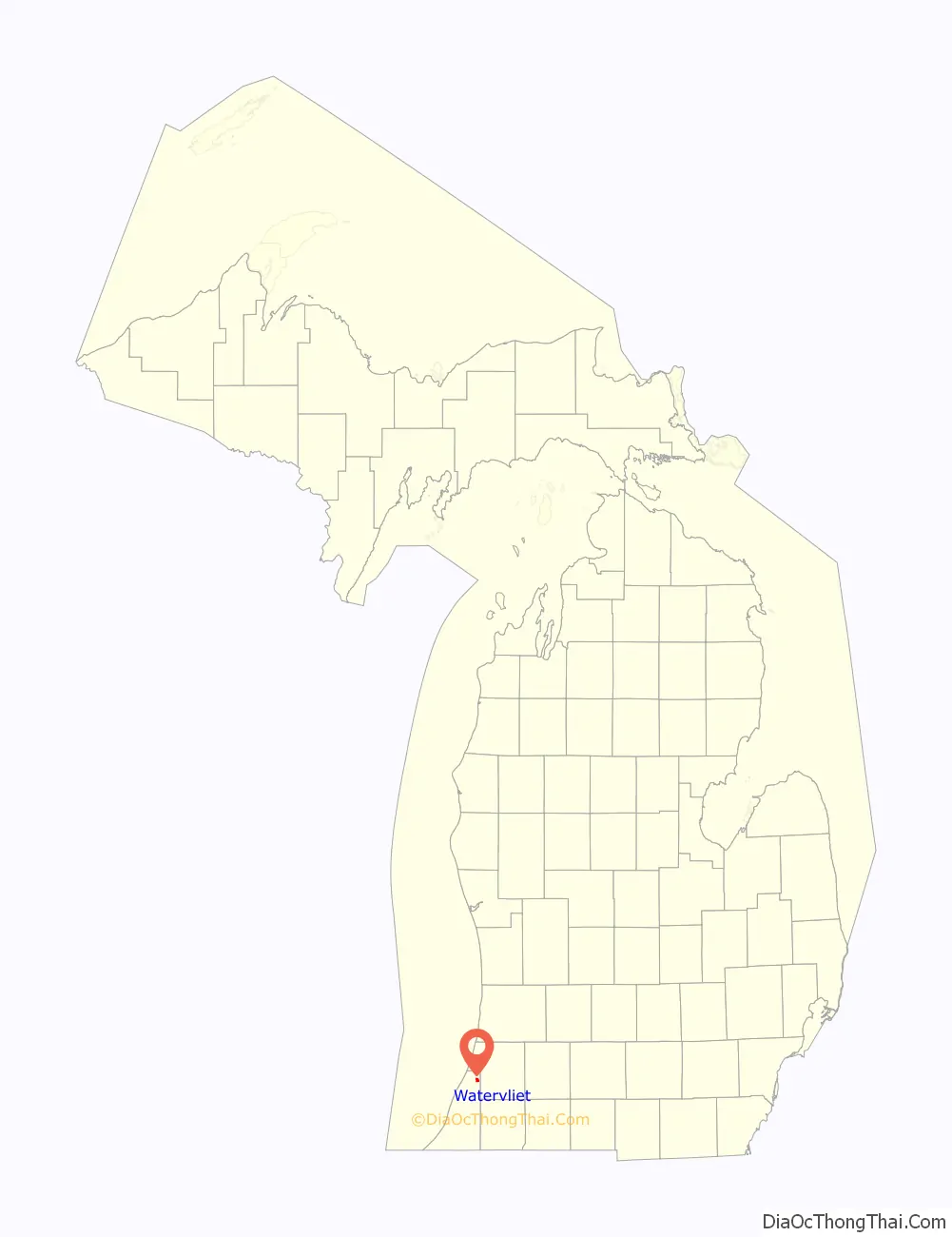
Watervliet location map. Where is Watervliet city?
History
In 1905 John Olsen and Maud Nelson moved here where they established a women’s baseball team. Both of them had experience in the game. The “Cherokee Indian Baseball Team” set out in its Pullman car in the same year complete with an electric light facility, a grand stand and a 12 by 1200 foot fence. Nelson who was born in Italy was on the team. She was billed by her husband, Olsen, as the undisputed women’s champion pitcher of the world.
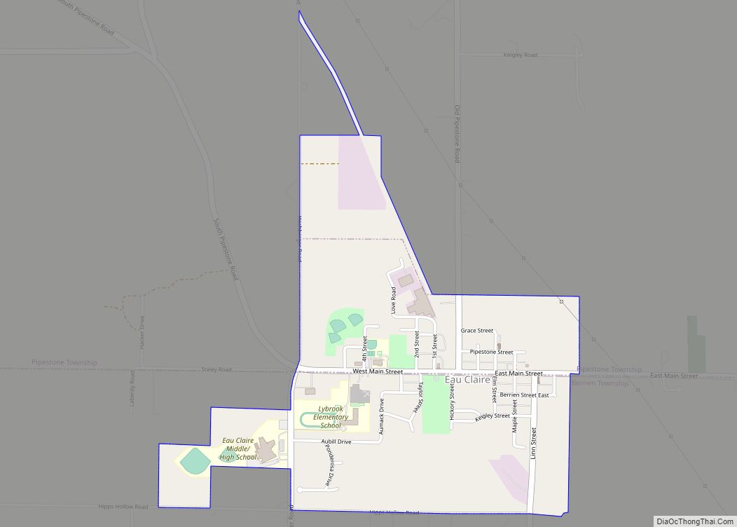
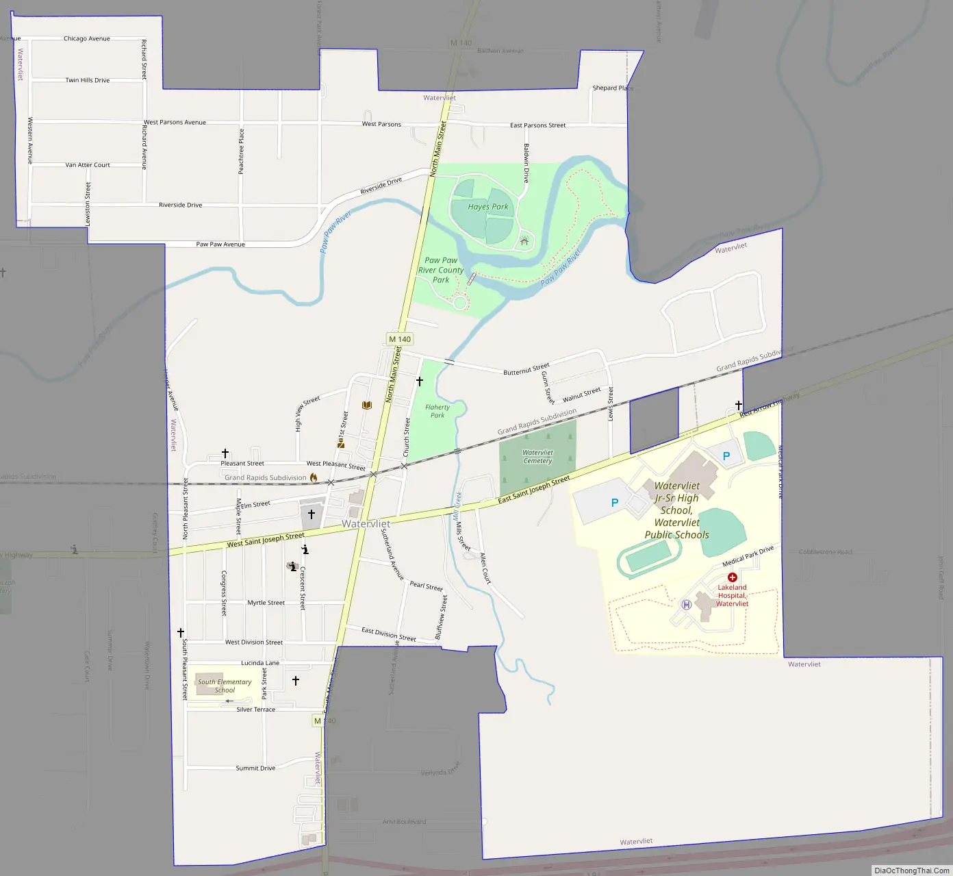
Watervliet Road Map
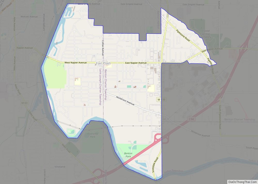
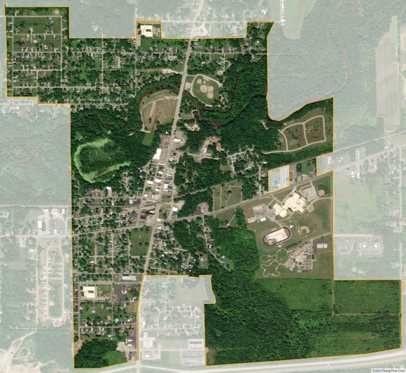
Watervliet city Satellite Map
Geography
According to the United States Census Bureau, the city has a total area of 1.23 square miles (3.19 km), of which 1.19 square miles (3.08 km) is land and 0.04 square miles (0.10 km) is water.
See also
Map of Michigan State and its subdivision:- Alcona
- Alger
- Allegan
- Alpena
- Antrim
- Arenac
- Baraga
- Barry
- Bay
- Benzie
- Berrien
- Branch
- Calhoun
- Cass
- Charlevoix
- Cheboygan
- Chippewa
- Clare
- Clinton
- Crawford
- Delta
- Dickinson
- Eaton
- Emmet
- Genesee
- Gladwin
- Gogebic
- Grand Traverse
- Gratiot
- Hillsdale
- Houghton
- Huron
- Ingham
- Ionia
- Iosco
- Iron
- Isabella
- Jackson
- Kalamazoo
- Kalkaska
- Kent
- Keweenaw
- Lake
- Lake Hurron
- Lake Michigan
- Lake St. Clair
- Lake Superior
- Lapeer
- Leelanau
- Lenawee
- Livingston
- Luce
- Mackinac
- Macomb
- Manistee
- Marquette
- Mason
- Mecosta
- Menominee
- Midland
- Missaukee
- Monroe
- Montcalm
- Montmorency
- Muskegon
- Newaygo
- Oakland
- Oceana
- Ogemaw
- Ontonagon
- Osceola
- Oscoda
- Otsego
- Ottawa
- Presque Isle
- Roscommon
- Saginaw
- Saint Clair
- Saint Joseph
- Sanilac
- Schoolcraft
- Shiawassee
- Tuscola
- Van Buren
- Washtenaw
- Wayne
- Wexford
- Alabama
- Alaska
- Arizona
- Arkansas
- California
- Colorado
- Connecticut
- Delaware
- District of Columbia
- Florida
- Georgia
- Hawaii
- Idaho
- Illinois
- Indiana
- Iowa
- Kansas
- Kentucky
- Louisiana
- Maine
- Maryland
- Massachusetts
- Michigan
- Minnesota
- Mississippi
- Missouri
- Montana
- Nebraska
- Nevada
- New Hampshire
- New Jersey
- New Mexico
- New York
- North Carolina
- North Dakota
- Ohio
- Oklahoma
- Oregon
- Pennsylvania
- Rhode Island
- South Carolina
- South Dakota
- Tennessee
- Texas
- Utah
- Vermont
- Virginia
- Washington
- West Virginia
- Wisconsin
- Wyoming