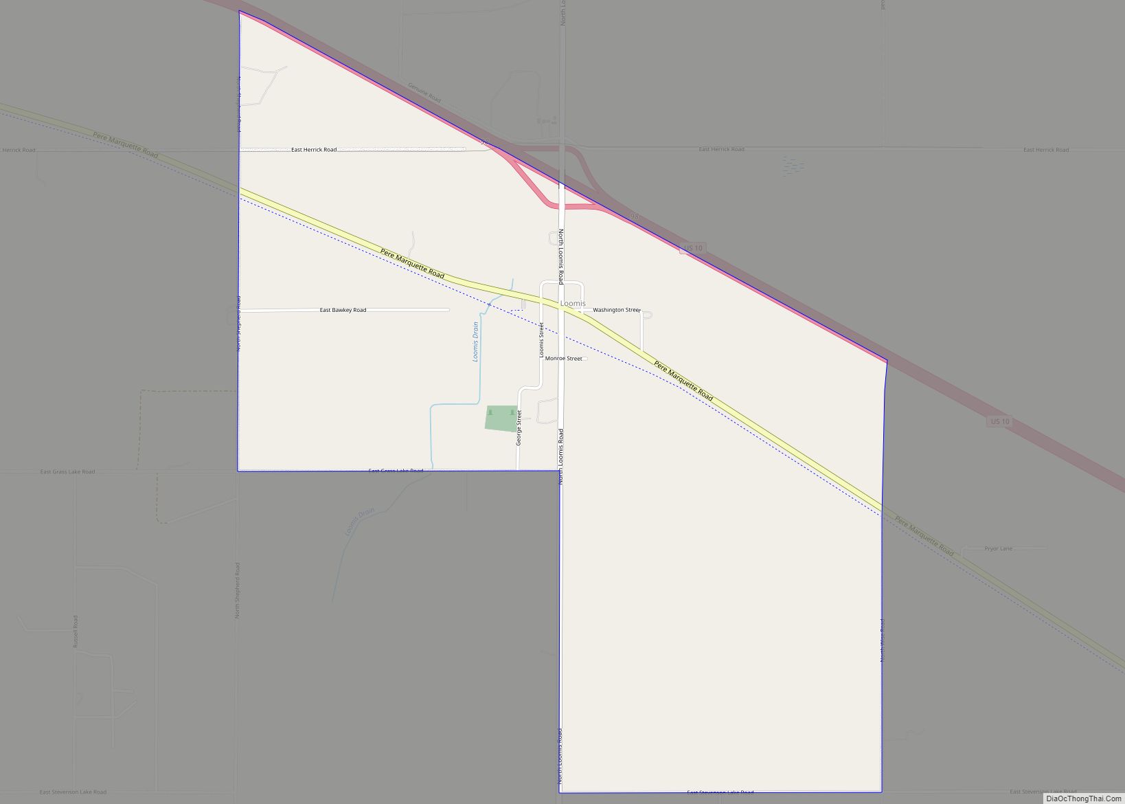
Weidman is an unincorporated community in Isabella County, Michigan, United States. It is a census-designated place (CDP) for statistical purposes, but has no independent municipal authority. The population of the CDP was 959 at the 2010 census, up from 879 at the 2000 census.
| Name: | Weidman CDP |
|---|---|
| LSAD Code: | 57 |
| LSAD Description: | CDP (suffix) |
| State: | Michigan |
| County: | Isabella County |
| Elevation: | 892 ft (272 m) |
| Total Area: | 5.95 sq mi (15.41 km²) |
| Land Area: | 5.65 sq mi (14.64 km²) |
| Water Area: | 0.30 sq mi (0.77 km²) |
| Total Population: | 920 |
| Population Density: | 162.75/sq mi (62.83/km²) |
| ZIP code: | 48893 |
| Area code: | 989 |
| FIPS code: | 2685140 |
| GNISfeature ID: | 1615969 |
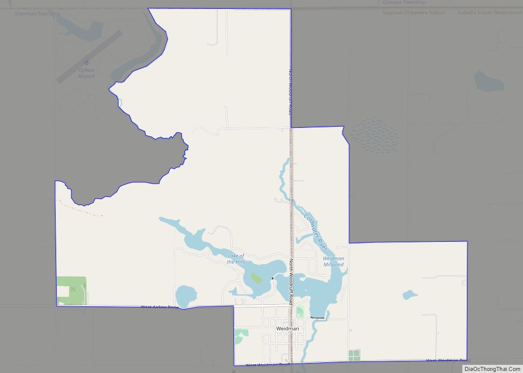
Online Interactive Map
Click on ![]() to view map in "full screen" mode.
to view map in "full screen" mode.
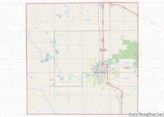
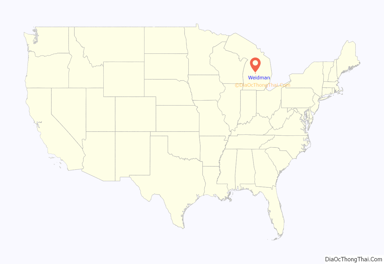
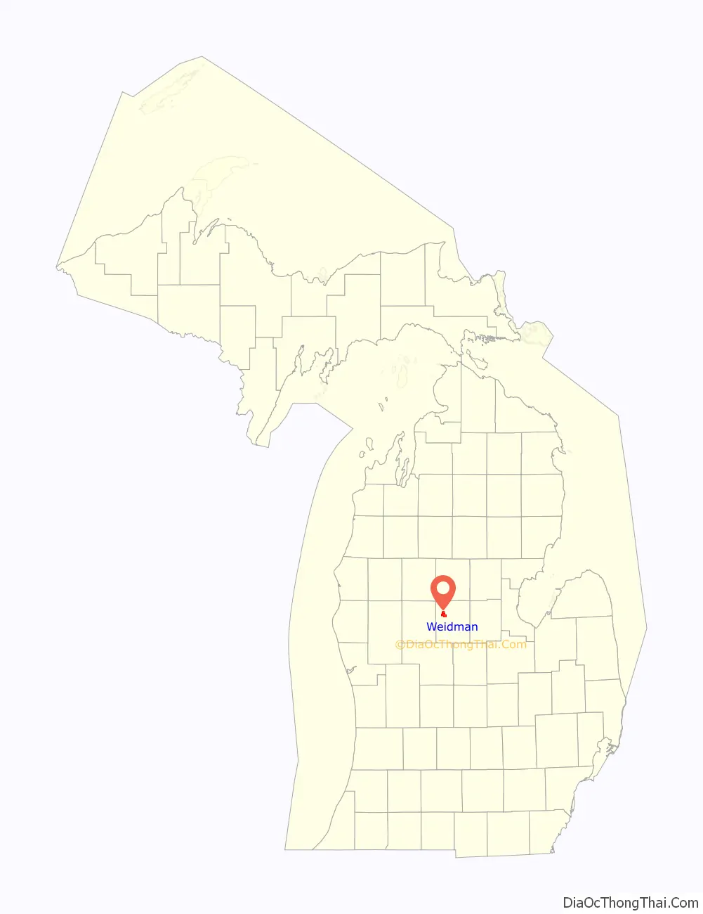
Weidman location map. Where is Weidman CDP?
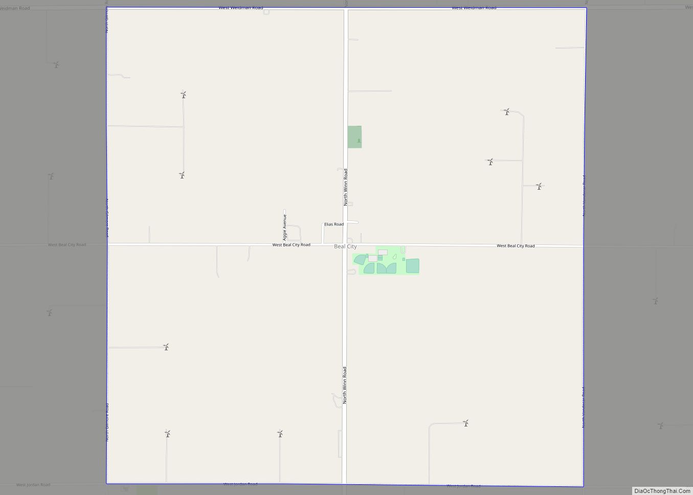
Weidman Road Map
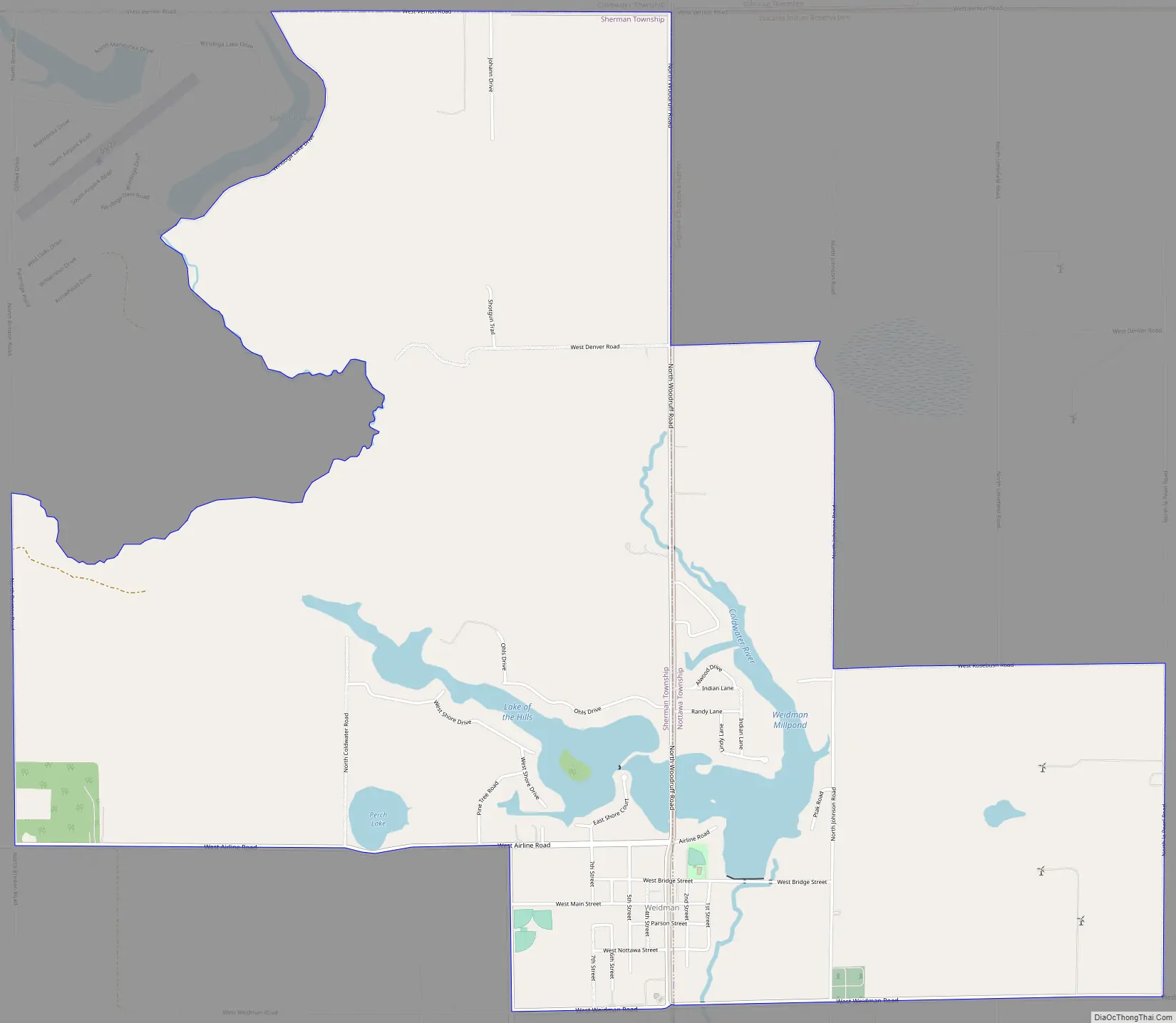
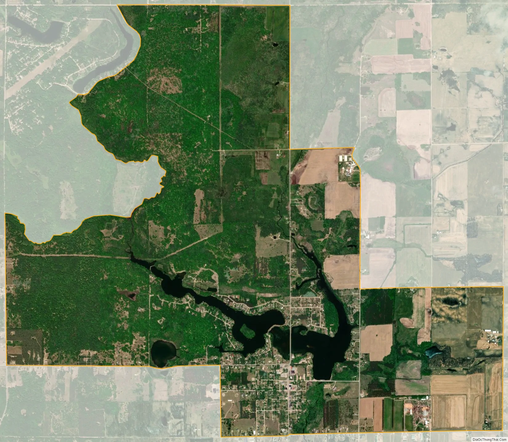
Weidman city Satellite Map
Geography
According to the United States Census Bureau, the CDP has a total area of 5.9 square miles (15.4 km), of which 5.6 square miles (14.6 km) are land and 0.3 square miles (0.8 km), or 4.98%, are water. The built-up center of town is in the southern part of the CDP, on the south side of Lake of the Hills on the Coldwater River. The Coldwater is a south-flowing tributary of the Chippewa River and thus part of the Saginaw River drainage basin.
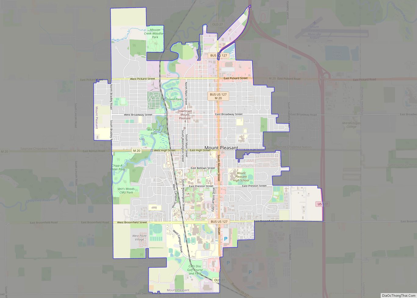
Weidman is 16 miles (26 km) by road northwest of Mount Pleasant, the Isabella County seat, and 19 miles (31 km) southwest of Clare.
The community is situated on the boundary between Nottawa Township on the east and Sherman Township on the west. The area of the CDP within Sherman Township is somewhat larger than that within Nottawa Township. The Nottawa Township section, in addition, lies on part of the Isabella Indian Reservation. While the CDP has boundaries defined by the U.S. Census Bureau, there are no precise boundaries for the corresponding community. The postal delivery area for the Weidman ZIP code, 48893, is much larger than the CDP, including large portions of both Sherman and Nottawa townships as well as portions of Coldwater and Gilmore townships on the north and Broomfield and Deerfield townships on the south, as well as the village of Lake Isabella and the western half of the community of Beal City.
The area of the CDP, as defined in the 2010 census, includes all of the area of Section 1 in the northeast corner of Sherman Township, the portion of section 2 lying east of Walker Creek and Lake Windoga, all of section 12, except for a small portion west of Walker Creek, the portion of section 11 lying east of Walker Creek and a strip along the south of section 11 lying west of the Lake of the Hills. It includes the portion of section 14 lying north of Airline Road and the portion of section 13 lying north of Airline Road and east of Coldwater Road. In Nottawa Township, the CDP includes all of section 18, section 17 west of North La Pearl Road, and section 7 west of Johnson Road.
See also
Map of Michigan State and its subdivision:- Alcona
- Alger
- Allegan
- Alpena
- Antrim
- Arenac
- Baraga
- Barry
- Bay
- Benzie
- Berrien
- Branch
- Calhoun
- Cass
- Charlevoix
- Cheboygan
- Chippewa
- Clare
- Clinton
- Crawford
- Delta
- Dickinson
- Eaton
- Emmet
- Genesee
- Gladwin
- Gogebic
- Grand Traverse
- Gratiot
- Hillsdale
- Houghton
- Huron
- Ingham
- Ionia
- Iosco
- Iron
- Isabella
- Jackson
- Kalamazoo
- Kalkaska
- Kent
- Keweenaw
- Lake
- Lake Hurron
- Lake Michigan
- Lake St. Clair
- Lake Superior
- Lapeer
- Leelanau
- Lenawee
- Livingston
- Luce
- Mackinac
- Macomb
- Manistee
- Marquette
- Mason
- Mecosta
- Menominee
- Midland
- Missaukee
- Monroe
- Montcalm
- Montmorency
- Muskegon
- Newaygo
- Oakland
- Oceana
- Ogemaw
- Ontonagon
- Osceola
- Oscoda
- Otsego
- Ottawa
- Presque Isle
- Roscommon
- Saginaw
- Saint Clair
- Saint Joseph
- Sanilac
- Schoolcraft
- Shiawassee
- Tuscola
- Van Buren
- Washtenaw
- Wayne
- Wexford
- Alabama
- Alaska
- Arizona
- Arkansas
- California
- Colorado
- Connecticut
- Delaware
- District of Columbia
- Florida
- Georgia
- Hawaii
- Idaho
- Illinois
- Indiana
- Iowa
- Kansas
- Kentucky
- Louisiana
- Maine
- Maryland
- Massachusetts
- Michigan
- Minnesota
- Mississippi
- Missouri
- Montana
- Nebraska
- Nevada
- New Hampshire
- New Jersey
- New Mexico
- New York
- North Carolina
- North Dakota
- Ohio
- Oklahoma
- Oregon
- Pennsylvania
- Rhode Island
- South Carolina
- South Dakota
- Tennessee
- Texas
- Utah
- Vermont
- Virginia
- Washington
- West Virginia
- Wisconsin
- Wyoming