Westland is a city in Wayne County in the U.S. state of Michigan. It is located about 16 miles (26 km) west of downtown Detroit. As of the 2010 census, the city had a total population of 84,094. It is the 10th largest city and 12th largest municipality in Michigan.
| Name: | Westland city |
|---|---|
| LSAD Code: | 25 |
| LSAD Description: | city (suffix) |
| State: | Michigan |
| County: | Wayne County |
| Incorporated: | 1966 |
| Elevation: | 666 ft (199 m) |
| Land Area: | 20.43 sq mi (52.92 km²) |
| Water Area: | 0.01 sq mi (0.04 km²) |
| Population Density: | 4,180.70/sq mi (1,614.20/km²) |
| Area code: | 734 |
| FIPS code: | 2686000 |
| GNISfeature ID: | 1616212 |
Online Interactive Map
Click on ![]() to view map in "full screen" mode.
to view map in "full screen" mode.
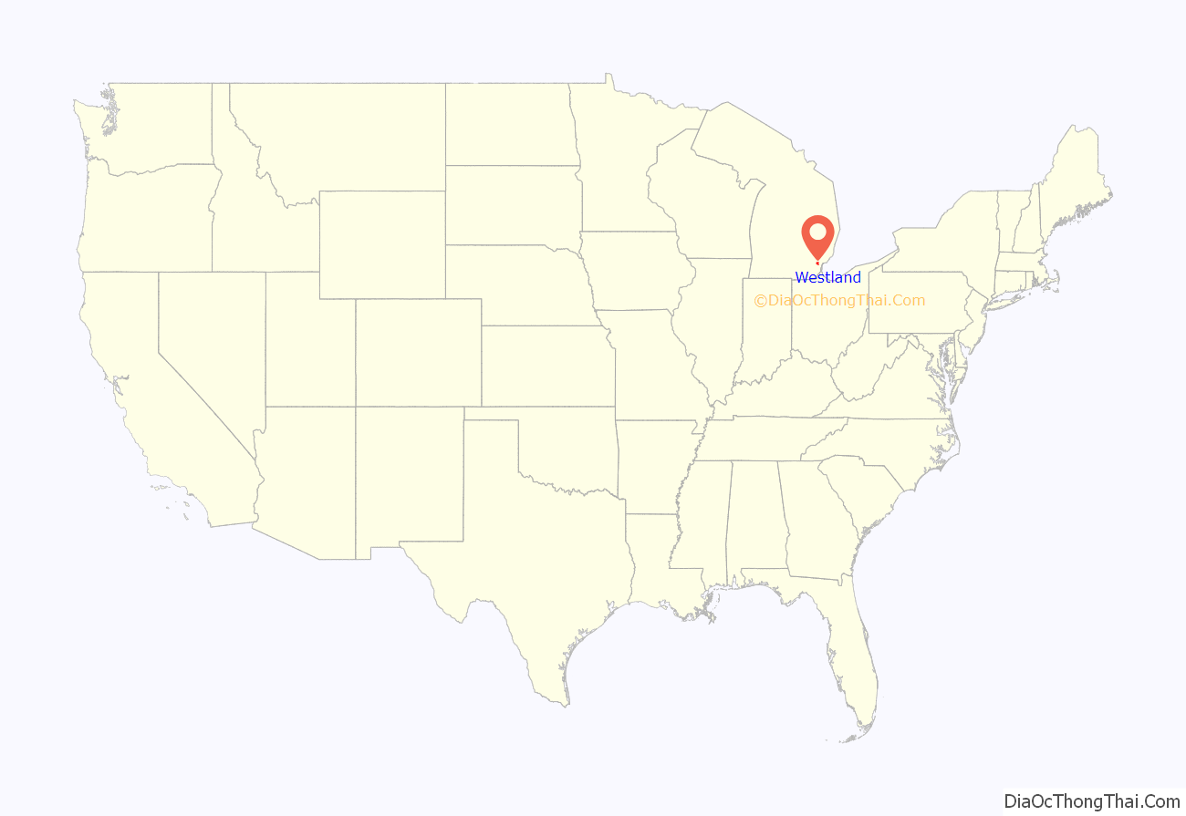
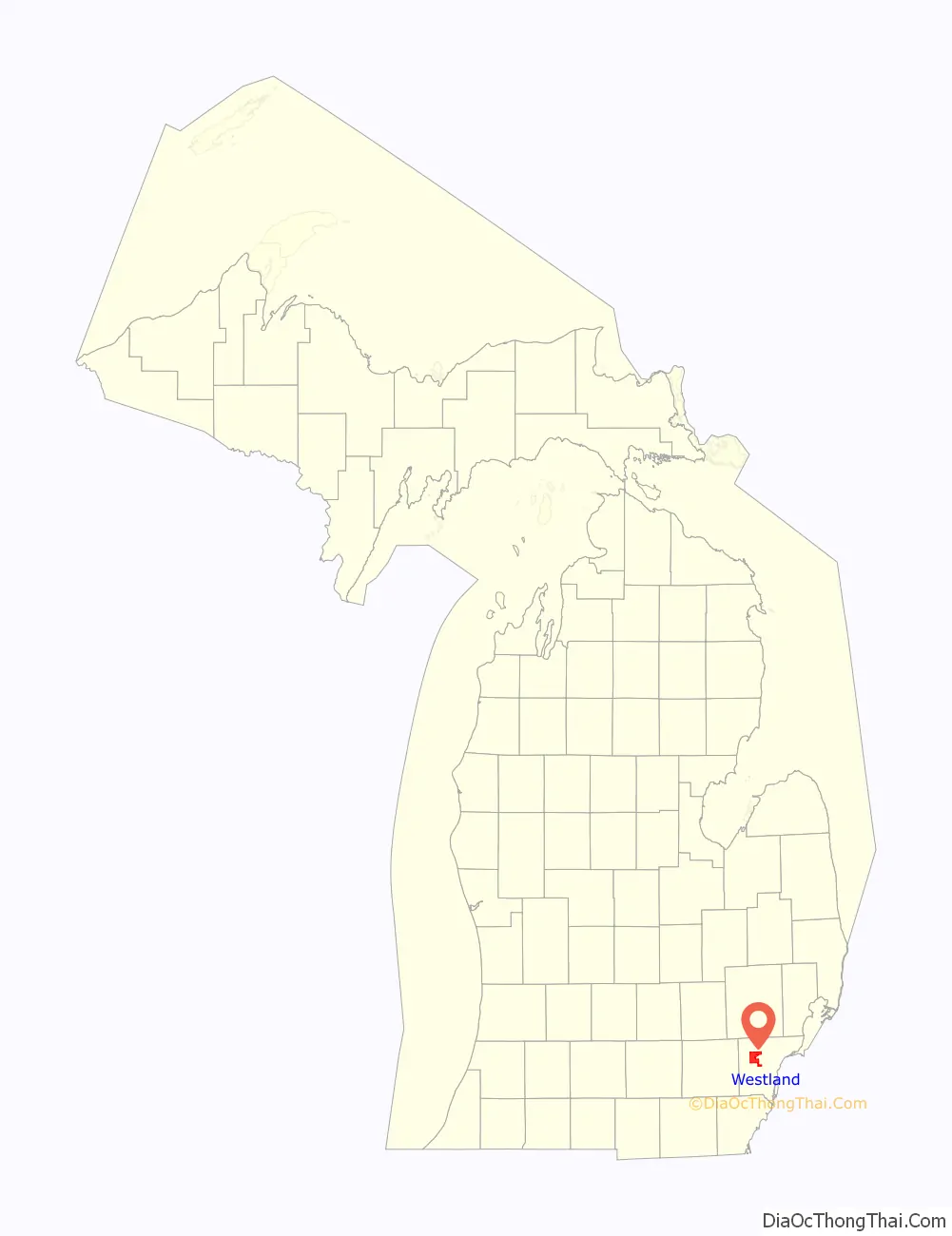
Westland location map. Where is Westland city?
History
Early history
During the 18th century, the area was inhabited by the people of a Potawatomi Native American village. Other tribes, particularly three Algonquian tribes, used the area as hunting territory. Though white settlers did not begin to settle the area until about 1824, they began passing through at the beginning of the 19th century.
Before becoming Westland, the area had several other names. In 1827, the area became known as Bucklin Township, which included what is now the cities of Westland, Livonia, Garden City, Inkster, Wayne, Dearborn, Dearborn Heights and Redford Township. In 1829, it was proposed that Bucklin Township be divided into Lima and Richland; the former is what eventually became Westland. Due to name conflicts under territorial law prohibiting duplication of post office names, Lima was renamed Nankin Township, after the Chinese city of Nanking.
Later history
Nankin Township was mostly rural until World War II.The Norwayne subdivision is one of the oldest areas of the city, having existed for over 65 years. The area was built immediately after World War II to provide temporary housing for returning soldiers who worked in nearby factories.
By 1960, Nankin Township’s population had increased to 70,000, giving the area the distinction of being the state’s largest township. During the early 1960s, the city of Livonia wanted to annex the part of Nankin in which a large shopping mall, Westland Shopping Center, was to be built. The shopping center eventually opened in 1965, joining Northland and Eastland malls in Southfield and Harper Woods, respectively. In reaction to Livonia’s annexation attempts, the people of Nankin Township voted on May 16, 1966, to take all other territory to form the City Of Westland. At that time, it was the fourth largest city in Wayne County.
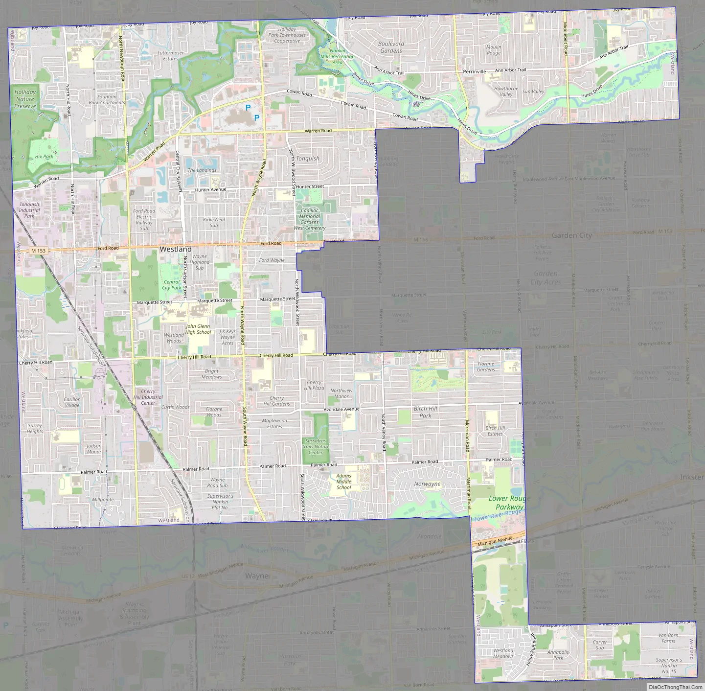
Westland Road Map
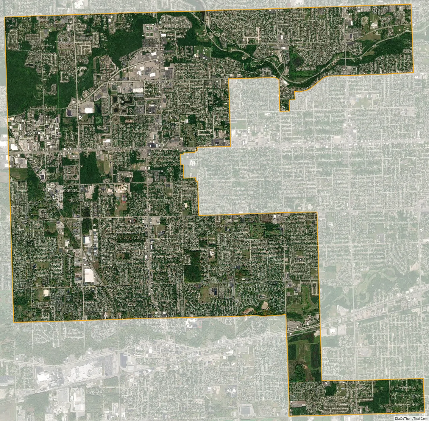
Westland city Satellite Map
Geography
According to the United States Census Bureau, the city has a total area of 20.45 square miles (52.97 km), of which 20.43 square miles (52.91 km) is land and 0.02 square miles (0.05 km) is water.
See also
Map of Michigan State and its subdivision:- Alcona
- Alger
- Allegan
- Alpena
- Antrim
- Arenac
- Baraga
- Barry
- Bay
- Benzie
- Berrien
- Branch
- Calhoun
- Cass
- Charlevoix
- Cheboygan
- Chippewa
- Clare
- Clinton
- Crawford
- Delta
- Dickinson
- Eaton
- Emmet
- Genesee
- Gladwin
- Gogebic
- Grand Traverse
- Gratiot
- Hillsdale
- Houghton
- Huron
- Ingham
- Ionia
- Iosco
- Iron
- Isabella
- Jackson
- Kalamazoo
- Kalkaska
- Kent
- Keweenaw
- Lake
- Lake Hurron
- Lake Michigan
- Lake St. Clair
- Lake Superior
- Lapeer
- Leelanau
- Lenawee
- Livingston
- Luce
- Mackinac
- Macomb
- Manistee
- Marquette
- Mason
- Mecosta
- Menominee
- Midland
- Missaukee
- Monroe
- Montcalm
- Montmorency
- Muskegon
- Newaygo
- Oakland
- Oceana
- Ogemaw
- Ontonagon
- Osceola
- Oscoda
- Otsego
- Ottawa
- Presque Isle
- Roscommon
- Saginaw
- Saint Clair
- Saint Joseph
- Sanilac
- Schoolcraft
- Shiawassee
- Tuscola
- Van Buren
- Washtenaw
- Wayne
- Wexford
- Alabama
- Alaska
- Arizona
- Arkansas
- California
- Colorado
- Connecticut
- Delaware
- District of Columbia
- Florida
- Georgia
- Hawaii
- Idaho
- Illinois
- Indiana
- Iowa
- Kansas
- Kentucky
- Louisiana
- Maine
- Maryland
- Massachusetts
- Michigan
- Minnesota
- Mississippi
- Missouri
- Montana
- Nebraska
- Nevada
- New Hampshire
- New Jersey
- New Mexico
- New York
- North Carolina
- North Dakota
- Ohio
- Oklahoma
- Oregon
- Pennsylvania
- Rhode Island
- South Carolina
- South Dakota
- Tennessee
- Texas
- Utah
- Vermont
- Virginia
- Washington
- West Virginia
- Wisconsin
- Wyoming


