White Pigeon is a village in St. Joseph County in the U.S. state of Michigan. The population was 1,522 at the 2010 census. The village is located within White Pigeon Township.
| Name: | White Pigeon village |
|---|---|
| LSAD Code: | 47 |
| LSAD Description: | village (suffix) |
| State: | Michigan |
| County: | St. Joseph County |
| Elevation: | 817 ft (249 m) |
| Total Area: | 1.43 sq mi (3.69 km²) |
| Land Area: | 1.41 sq mi (3.65 km²) |
| Water Area: | 0.02 sq mi (0.04 km²) |
| Total Population: | 1,718 |
| Population Density: | 1,219.30/sq mi (470.72/km²) |
| FIPS code: | 2686920 |
| GNISfeature ID: | 1625017 |
Online Interactive Map
Click on ![]() to view map in "full screen" mode.
to view map in "full screen" mode.
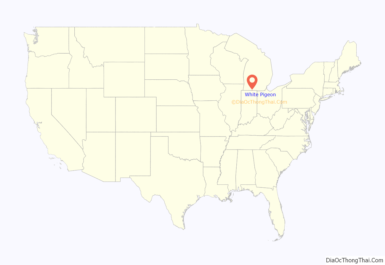
White Pigeon location map. Where is White Pigeon village?
History
White Pigeon was incorporated by European Americans in 1837. The United States Land Office, located in downtown White Pigeon, is the oldest surviving U.S. Land office in the state of Michigan. Following the cession of Native American lands in this area by leaders of regional tribes, the U.S. government sold more than 250,000 acres of land in Michigan for $1.25 an acre in the 1830s to settlers of Western Michigan.
The town was named after the local Potawatomi chief Wahbememe, which means White Pigeon. He was buried in the town, with a memorial stone marking his grave. This gravesite is now listed on the National Register of Historic Places.
According to legend, while he was at the gathering of the chiefs in Detroit, Wahbememe heard plans to attack the settlement which is now White Pigeon. The chief was a friend to the white settlers and did not want to see harm come to them, so he set out on foot and ran almost 150 miles to the settlement to warn the people. After running that long distance and giving his warning, he collapsed and soon died from exhaustion.
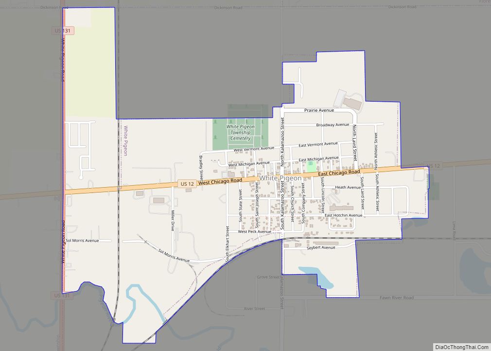
White Pigeon Road Map
White Pigeon city Satellite Map
Geography
According to the United States Census Bureau, the village has a total area of 1.41 square miles (3.65 km), of which 1.39 square miles (3.60 km) is land and 0.02 square miles (0.05 km) is water. The White Pigeon River flows through the south end of town, emptying into the St. Joseph River that flows to Lake Michigan.
See also
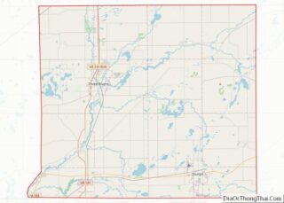
Map of Michigan State and its subdivision:- Alcona
- Alger
- Allegan
- Alpena
- Antrim
- Arenac
- Baraga
- Barry
- Bay
- Benzie
- Berrien
- Branch
- Calhoun
- Cass
- Charlevoix
- Cheboygan
- Chippewa
- Clare
- Clinton
- Crawford
- Delta
- Dickinson
- Eaton
- Emmet
- Genesee
- Gladwin
- Gogebic
- Grand Traverse
- Gratiot
- Hillsdale
- Houghton
- Huron
- Ingham
- Ionia
- Iosco
- Iron
- Isabella
- Jackson
- Kalamazoo
- Kalkaska
- Kent
- Keweenaw
- Lake
- Lake Hurron
- Lake Michigan
- Lake St. Clair
- Lake Superior
- Lapeer
- Leelanau
- Lenawee
- Livingston
- Luce
- Mackinac
- Macomb
- Manistee
- Marquette
- Mason
- Mecosta
- Menominee
- Midland
- Missaukee
- Monroe
- Montcalm
- Montmorency
- Muskegon
- Newaygo
- Oakland
- Oceana
- Ogemaw
- Ontonagon
- Osceola
- Oscoda
- Otsego
- Ottawa
- Presque Isle
- Roscommon
- Saginaw
- Saint Clair
- Saint Joseph
- Sanilac
- Schoolcraft
- Shiawassee
- Tuscola
- Van Buren
- Washtenaw
- Wayne
- Wexford
- Alabama
- Alaska
- Arizona
- Arkansas
- California
- Colorado
- Connecticut
- Delaware
- District of Columbia
- Florida
- Georgia
- Hawaii
- Idaho
- Illinois
- Indiana
- Iowa
- Kansas
- Kentucky
- Louisiana
- Maine
- Maryland
- Massachusetts
- Michigan
- Minnesota
- Mississippi
- Missouri
- Montana
- Nebraska
- Nevada
- New Hampshire
- New Jersey
- New Mexico
- New York
- North Carolina
- North Dakota
- Ohio
- Oklahoma
- Oregon
- Pennsylvania
- Rhode Island
- South Carolina
- South Dakota
- Tennessee
- Texas
- Utah
- Vermont
- Virginia
- Washington
- West Virginia
- Wisconsin
- Wyoming
