Whitmore Lake is a census-designated place (CDP) and unincorporated community in the U.S. state of Michigan. The community spans the boundary between Green Oak Township in Livingston County and Northfield Township in Washtenaw County. The population of the CDP was 7,584 at the 2020 census.
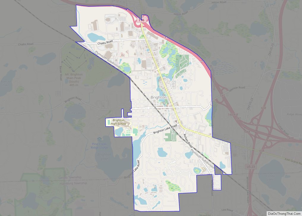
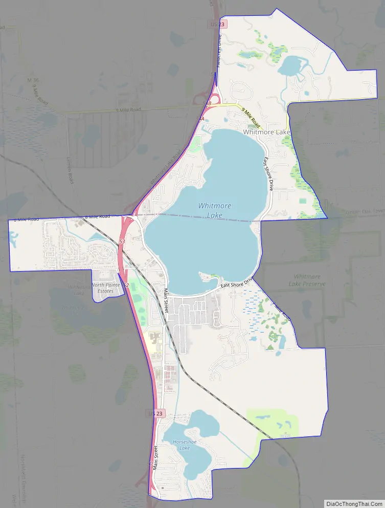
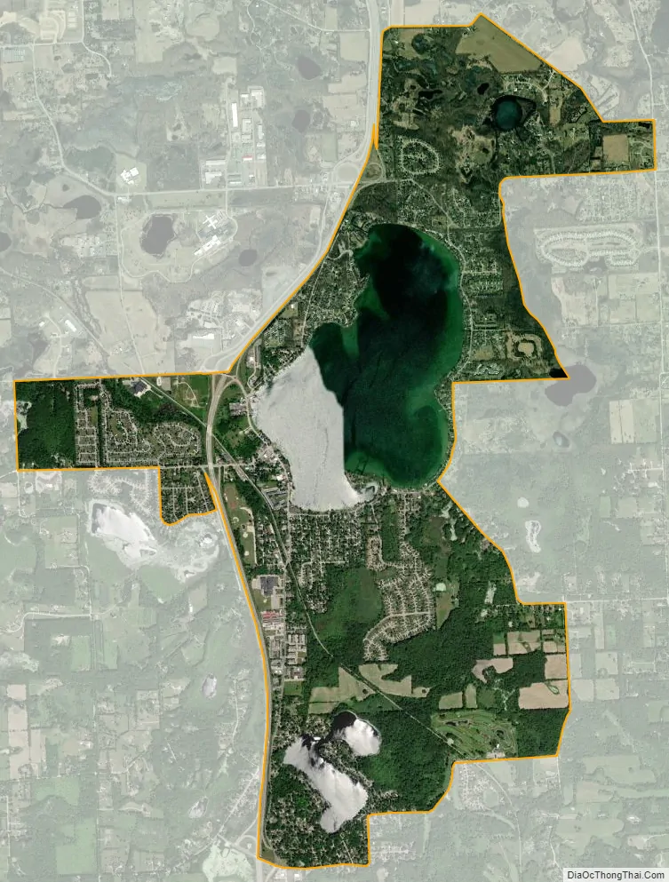
The community is located about 9 miles (14 km) north of Ann Arbor and about 9 miles (14 km) south of Brighton. It is situated around the shores of Whitmore Lake, and the CDP also includes the area around the smaller Horseshoe Lake to the south, Lawton Lake to the east and Monahan Lake to the northeast. U.S. Highway 23 forms the western edge of much of the CDP.
The Whitmore Lake post office, with ZIP code 48189, serves a larger area than that defined by the CDP and includes portions of southeast Hamburg Township, northeastern Webster Township, and larger parts of Green Oak and Northfield Townships than are included in the CDP.
The 667-acre (2.70 km) Whitmore Lake was named by Jonathan F. Stratton, a surveyor, after Luke H. Whitmore, a local landowner around 1825. Area residents have considered incorporation many times, but have not chosen to do so yet.
The well-known Eight Mile Road that forms the boundary between the city of Detroit and Detroit’s northern suburbs in Oakland and Macomb counties ends in Whitmore Lake, along with Five, Six, Seven and Nine Mile Roads.
| Name: | Whitmore Lake CDP |
|---|---|
| LSAD Code: | 57 |
| LSAD Description: | CDP (suffix) |
| State: | Michigan |
| County: | Livingston County, Washtenaw County |
| Elevation: | 928 ft (283 m) |
| Total Area: | 6.01 sq mi (15.56 km²) |
| Land Area: | 4.79 sq mi (12.42 km²) |
| Water Area: | 1.21 sq mi (3.14 km²) 20.37% |
| Total Population: | 7,584 |
| Population Density: | 1,581.65/sq mi (610.62/km²) |
| Area code: | 734 |
| FIPS code: | 2687060 |
| GNISfeature ID: | 1616386 |
Online Interactive Map
Click on ![]() to view map in "full screen" mode.
to view map in "full screen" mode.
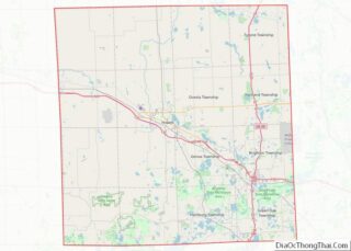
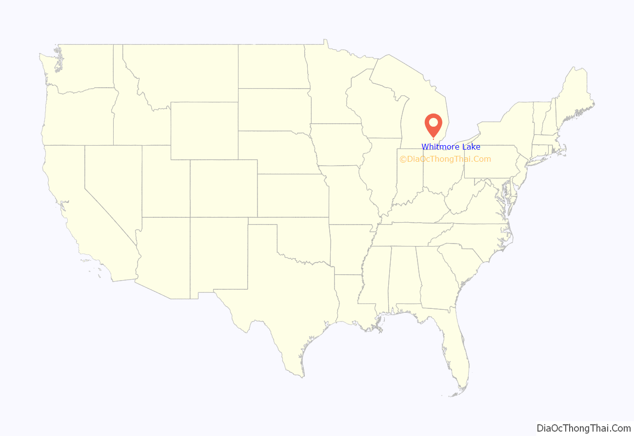
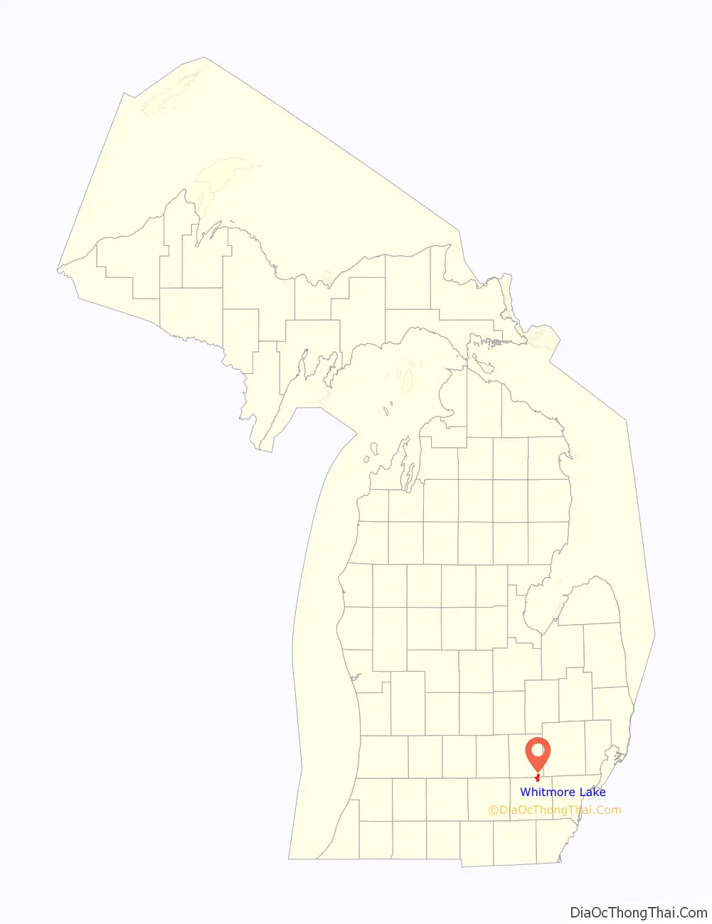
Whitmore Lake location map. Where is Whitmore Lake CDP?
Whitmore Lake Road Map
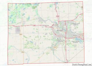
Whitmore Lake city Satellite Map
Geography
According to the United States Census Bureau, the CDP has a total area of 5.3 square miles (13.7 km), of which 4.2 square miles (10.9 km) is land and 1.1 square miles (2.8 km), or 20.37%, is water.
See also
Map of Michigan State and its subdivision:- Alcona
- Alger
- Allegan
- Alpena
- Antrim
- Arenac
- Baraga
- Barry
- Bay
- Benzie
- Berrien
- Branch
- Calhoun
- Cass
- Charlevoix
- Cheboygan
- Chippewa
- Clare
- Clinton
- Crawford
- Delta
- Dickinson
- Eaton
- Emmet
- Genesee
- Gladwin
- Gogebic
- Grand Traverse
- Gratiot
- Hillsdale
- Houghton
- Huron
- Ingham
- Ionia
- Iosco
- Iron
- Isabella
- Jackson
- Kalamazoo
- Kalkaska
- Kent
- Keweenaw
- Lake
- Lake Hurron
- Lake Michigan
- Lake St. Clair
- Lake Superior
- Lapeer
- Leelanau
- Lenawee
- Livingston
- Luce
- Mackinac
- Macomb
- Manistee
- Marquette
- Mason
- Mecosta
- Menominee
- Midland
- Missaukee
- Monroe
- Montcalm
- Montmorency
- Muskegon
- Newaygo
- Oakland
- Oceana
- Ogemaw
- Ontonagon
- Osceola
- Oscoda
- Otsego
- Ottawa
- Presque Isle
- Roscommon
- Saginaw
- Saint Clair
- Saint Joseph
- Sanilac
- Schoolcraft
- Shiawassee
- Tuscola
- Van Buren
- Washtenaw
- Wayne
- Wexford
- Alabama
- Alaska
- Arizona
- Arkansas
- California
- Colorado
- Connecticut
- Delaware
- District of Columbia
- Florida
- Georgia
- Hawaii
- Idaho
- Illinois
- Indiana
- Iowa
- Kansas
- Kentucky
- Louisiana
- Maine
- Maryland
- Massachusetts
- Michigan
- Minnesota
- Mississippi
- Missouri
- Montana
- Nebraska
- Nevada
- New Hampshire
- New Jersey
- New Mexico
- New York
- North Carolina
- North Dakota
- Ohio
- Oklahoma
- Oregon
- Pennsylvania
- Rhode Island
- South Carolina
- South Dakota
- Tennessee
- Texas
- Utah
- Vermont
- Virginia
- Washington
- West Virginia
- Wisconsin
- Wyoming