Yale is a city in St. Clair County in the U.S. state of Michigan. The population was 1,955 at the 2010 census. Yale is considered unofficially as the Bologna Capital of the world, in part due to its Yale Bologna Festival, which began in 1989. Yale bologna is sold in grocery stores throughout the area. Yale is also home to the Yale Airport, and farms.
| Name: | Yale city |
|---|---|
| LSAD Code: | 25 |
| LSAD Description: | city (suffix) |
| State: | Michigan |
| County: | St. Clair County |
| Incorporated: | 1889 (village) 1905 (city) |
| Elevation: | 794 ft (242 m) |
| Total Area: | 1.38 sq mi (3.58 km²) |
| Land Area: | 1.37 sq mi (3.56 km²) |
| Water Area: | 0.01 sq mi (0.02 km²) |
| Total Population: | 1,903 |
| Population Density: | 1,386.02/sq mi (535.10/km²) |
| Area code: | 810 |
| FIPS code: | 2689000 |
| GNISfeature ID: | 1625031 |
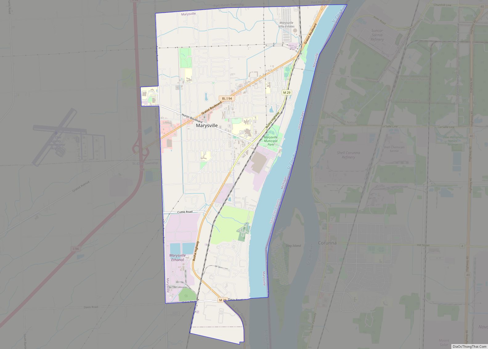
Online Interactive Map
Click on ![]() to view map in "full screen" mode.
to view map in "full screen" mode.
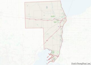
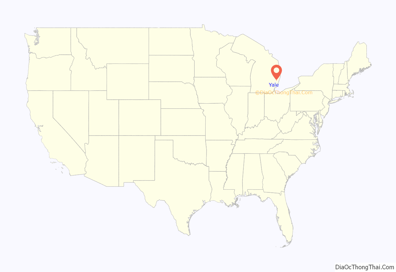
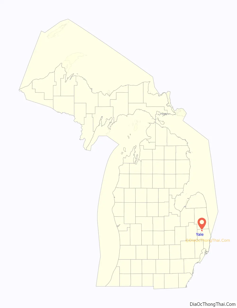
Yale location map. Where is Yale city?
History
The area received its first post office under the name Brockway Centre on May 11, 1865. The post office name was changed to Yale on June 24, 1889. Yale incorporated as a village in 1889 and later as a city in 1905.
In 2007, the city’s electors turned down the formation of a charter commission to write its own charter to replace the 4th Class City Charter.
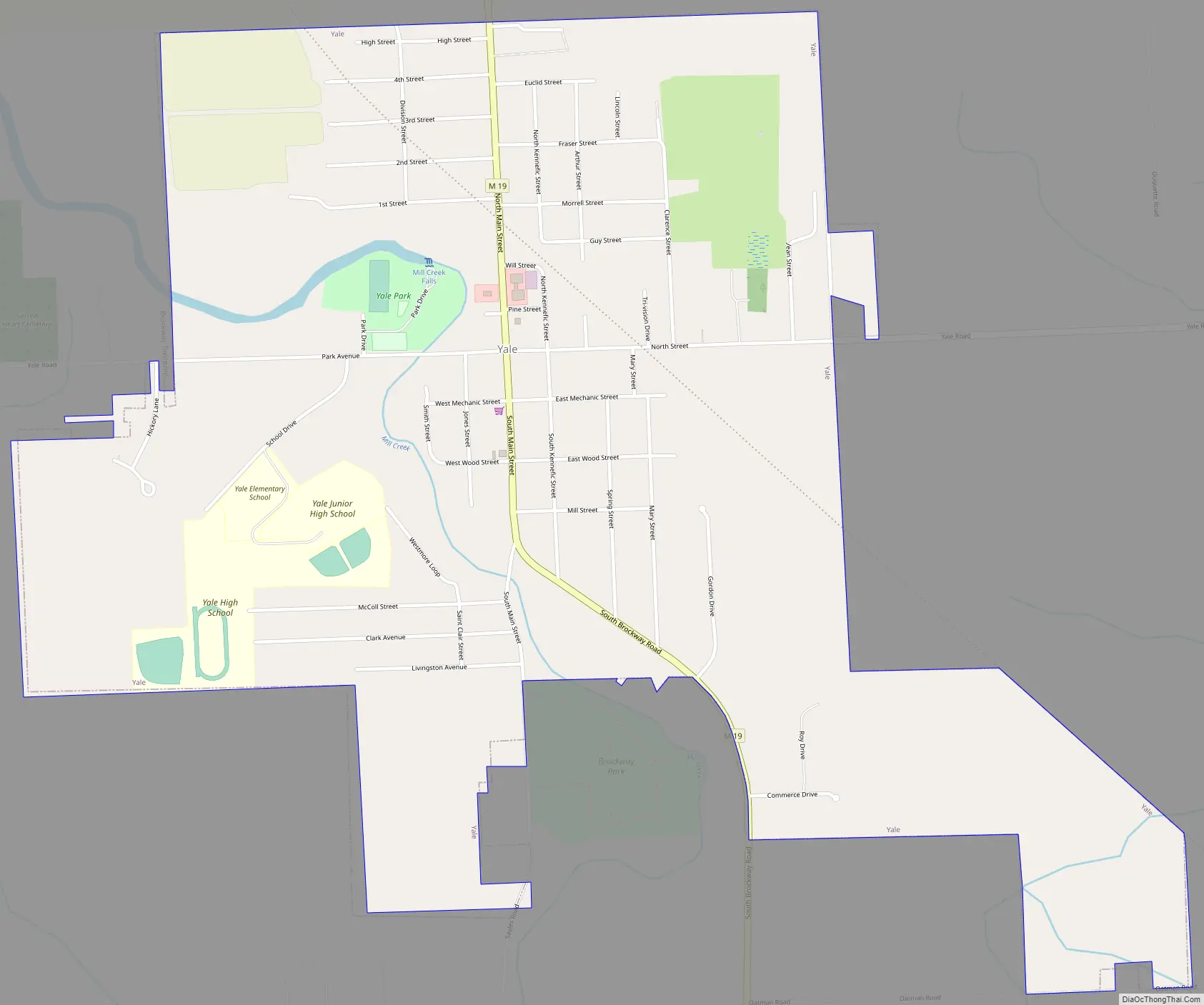
Yale Road Map
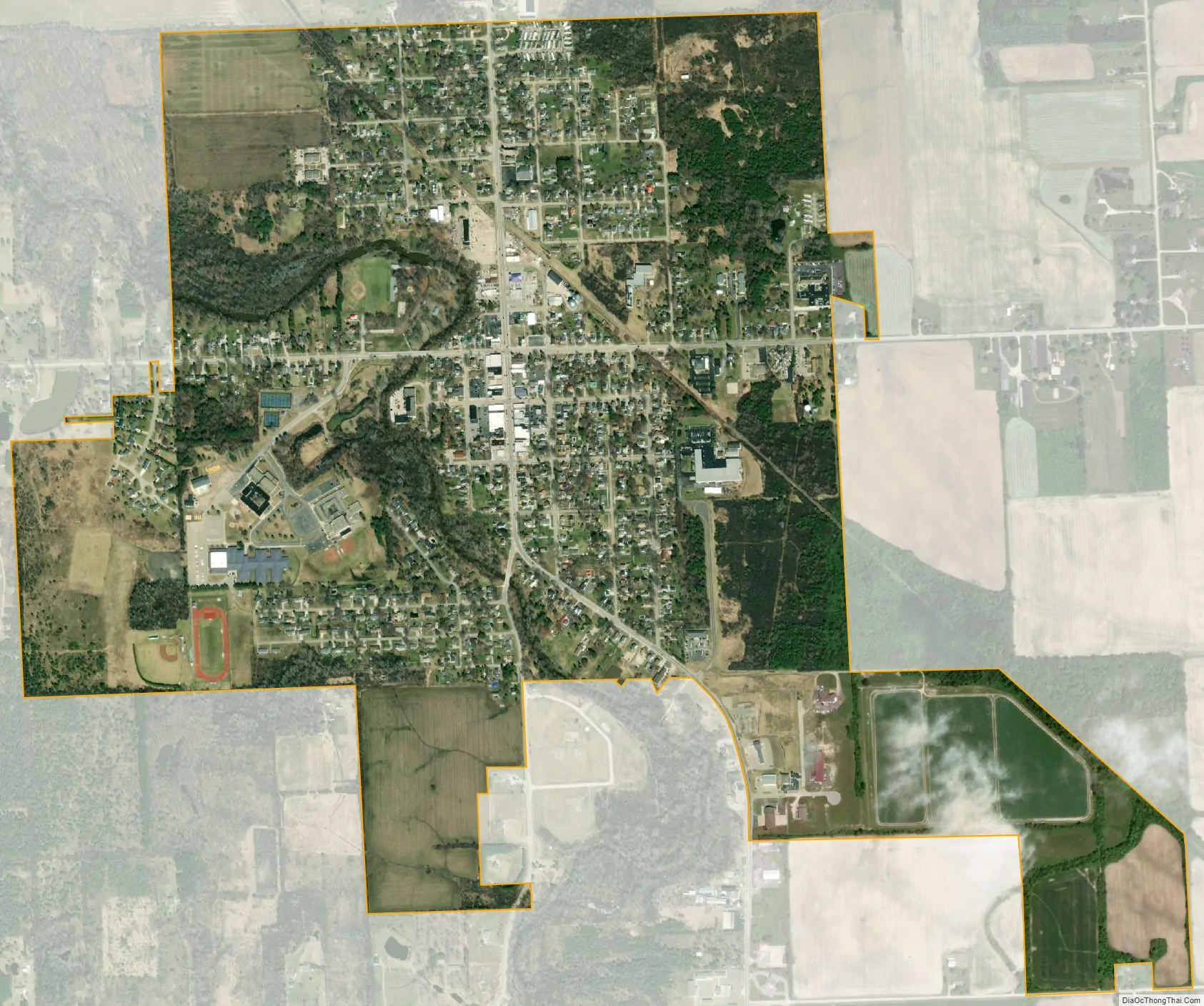
Yale city Satellite Map
Geography
- According to the United States Census Bureau, the city has a total area of 1.39 square miles (3.60 km), of which 1.38 square miles (3.57 km) is land and 0.01 square miles (0.03 km) is water.
- It might be considered to be part of the Thumb of Michigan, which in turn is a subregion of the Flint/Tri-Cities.
- Yale can also be considered as in the Blue Water Area.
See also
Map of Michigan State and its subdivision:- Alcona
- Alger
- Allegan
- Alpena
- Antrim
- Arenac
- Baraga
- Barry
- Bay
- Benzie
- Berrien
- Branch
- Calhoun
- Cass
- Charlevoix
- Cheboygan
- Chippewa
- Clare
- Clinton
- Crawford
- Delta
- Dickinson
- Eaton
- Emmet
- Genesee
- Gladwin
- Gogebic
- Grand Traverse
- Gratiot
- Hillsdale
- Houghton
- Huron
- Ingham
- Ionia
- Iosco
- Iron
- Isabella
- Jackson
- Kalamazoo
- Kalkaska
- Kent
- Keweenaw
- Lake
- Lake Hurron
- Lake Michigan
- Lake St. Clair
- Lake Superior
- Lapeer
- Leelanau
- Lenawee
- Livingston
- Luce
- Mackinac
- Macomb
- Manistee
- Marquette
- Mason
- Mecosta
- Menominee
- Midland
- Missaukee
- Monroe
- Montcalm
- Montmorency
- Muskegon
- Newaygo
- Oakland
- Oceana
- Ogemaw
- Ontonagon
- Osceola
- Oscoda
- Otsego
- Ottawa
- Presque Isle
- Roscommon
- Saginaw
- Saint Clair
- Saint Joseph
- Sanilac
- Schoolcraft
- Shiawassee
- Tuscola
- Van Buren
- Washtenaw
- Wayne
- Wexford
- Alabama
- Alaska
- Arizona
- Arkansas
- California
- Colorado
- Connecticut
- Delaware
- District of Columbia
- Florida
- Georgia
- Hawaii
- Idaho
- Illinois
- Indiana
- Iowa
- Kansas
- Kentucky
- Louisiana
- Maine
- Maryland
- Massachusetts
- Michigan
- Minnesota
- Mississippi
- Missouri
- Montana
- Nebraska
- Nevada
- New Hampshire
- New Jersey
- New Mexico
- New York
- North Carolina
- North Dakota
- Ohio
- Oklahoma
- Oregon
- Pennsylvania
- Rhode Island
- South Carolina
- South Dakota
- Tennessee
- Texas
- Utah
- Vermont
- Virginia
- Washington
- West Virginia
- Wisconsin
- Wyoming