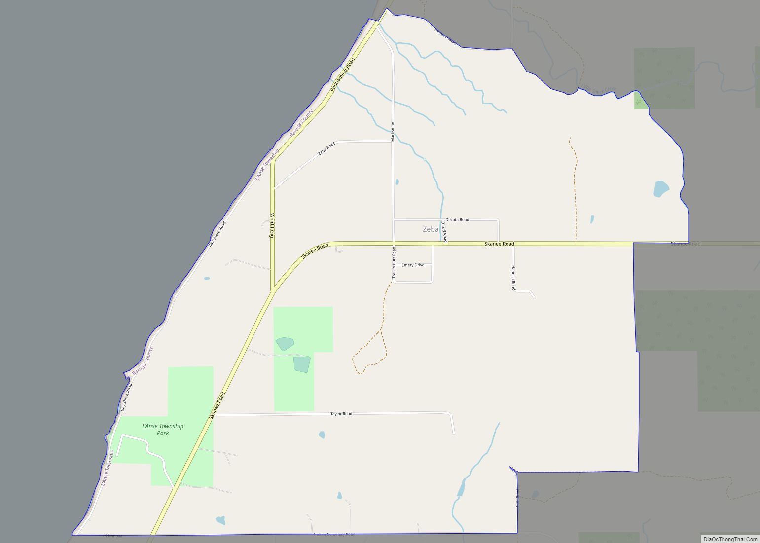
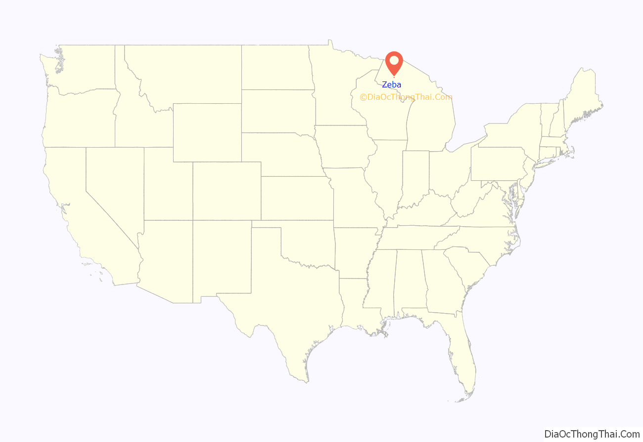
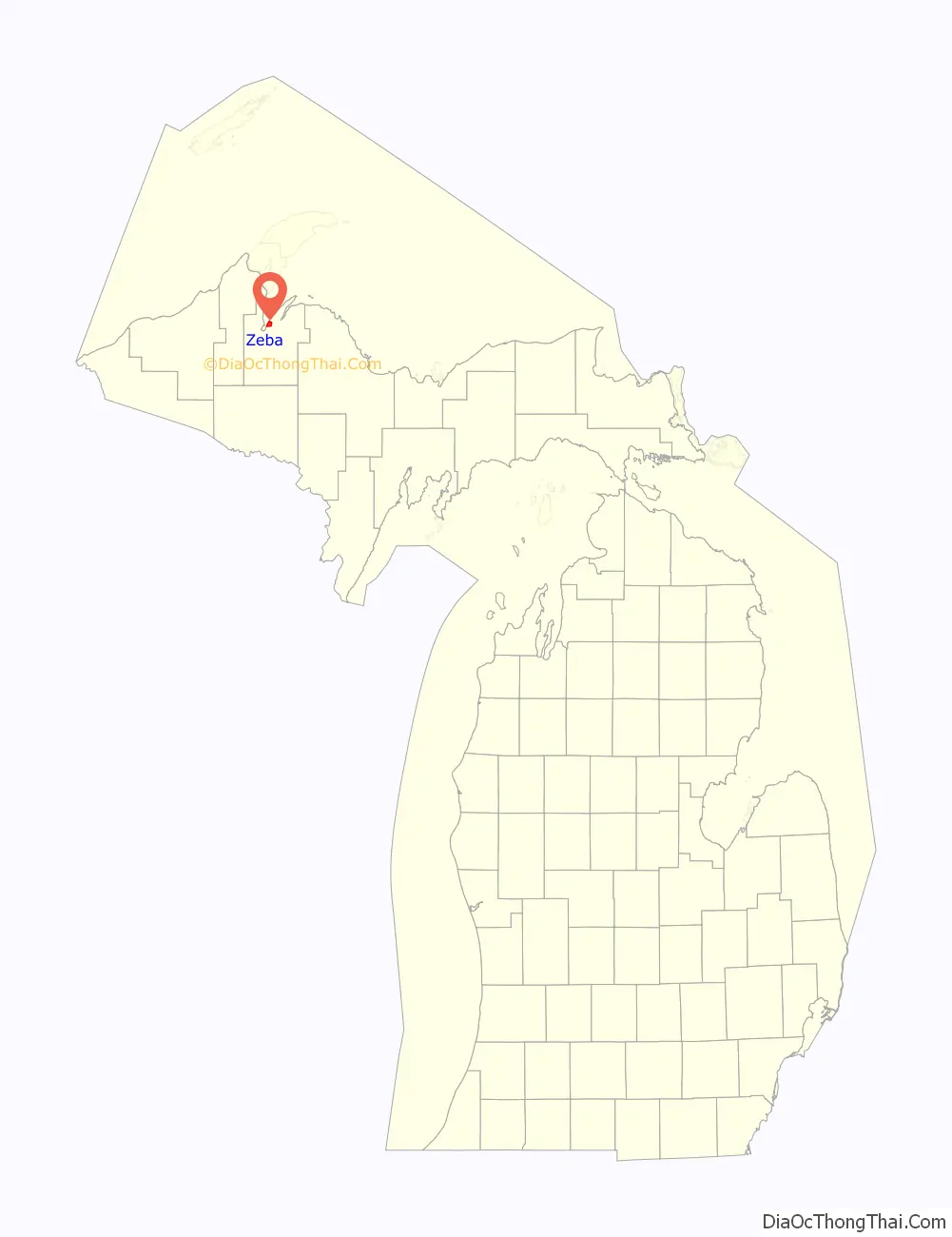
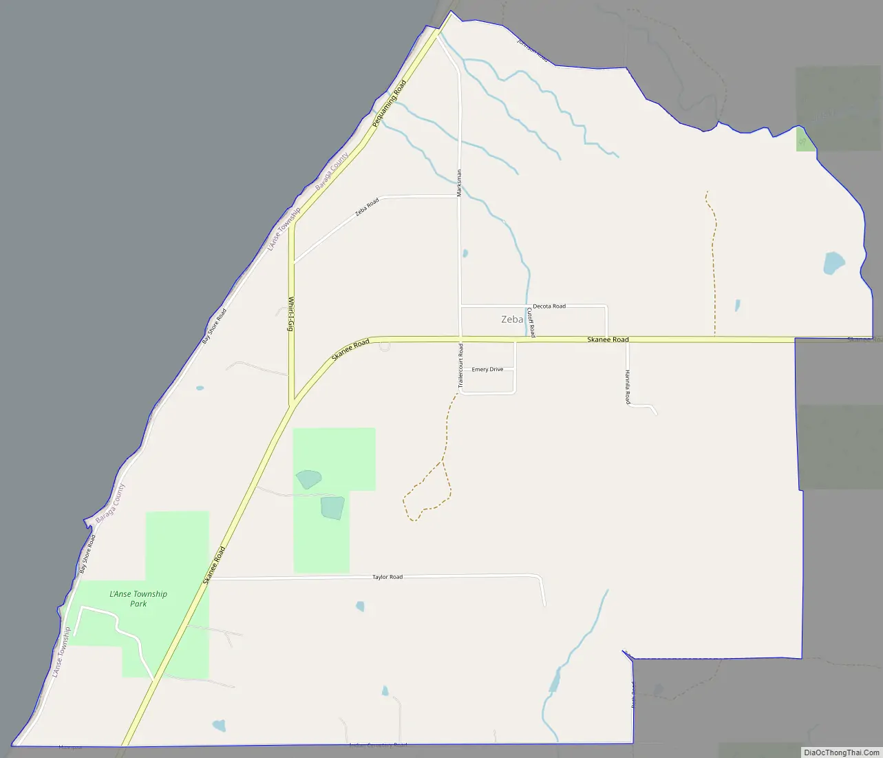
Zeba (Ojibwe: Ziibiins) is a census-designated place in L’Anse Township of Baraga County in the U.S. state of Michigan. It is located on the southern shore of Keweenaw Bay at 46°48′09″N 88°24′52″W / 46.80250°N 88.41444°W / 46.80250; -88.41444Coordinates: 46°48′09″N 88°24′52″W / 46.80250°N 88.41444°W / 46.80250; -88.41444, about halfway between L’Anse and Pequaming. The community was named Zeba (which means river in the Ojibwa language) because of a small stream that runs southeast of it. The 2010 census recorded a population of 480 inhabitants.
Zeba has a history very similar to that of nearby L’Anse, since the same missionaries and traders were established in both places. The American Fur Trading Company had a post in Zeba, and was a major shipping point for furs, hides, and sandstone. Zeba was initially founded in 1831 when Father Frederic Baraga, a Catholic priest, arrived and established the area’s first mission along the southern shore of Lake Superior’s Keweenaw Bay near present-day L’Anse. Early settlers included Peter Marksman Sr, Peter Hall, William Bass, and Benjamin George.
| Name: | Zeba CDP |
|---|---|
| LSAD Code: | 57 |
| LSAD Description: | CDP (suffix) |
| State: | Michigan |
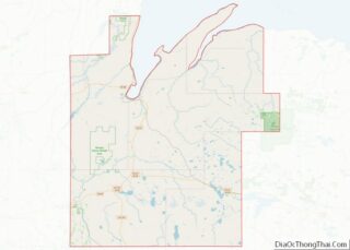
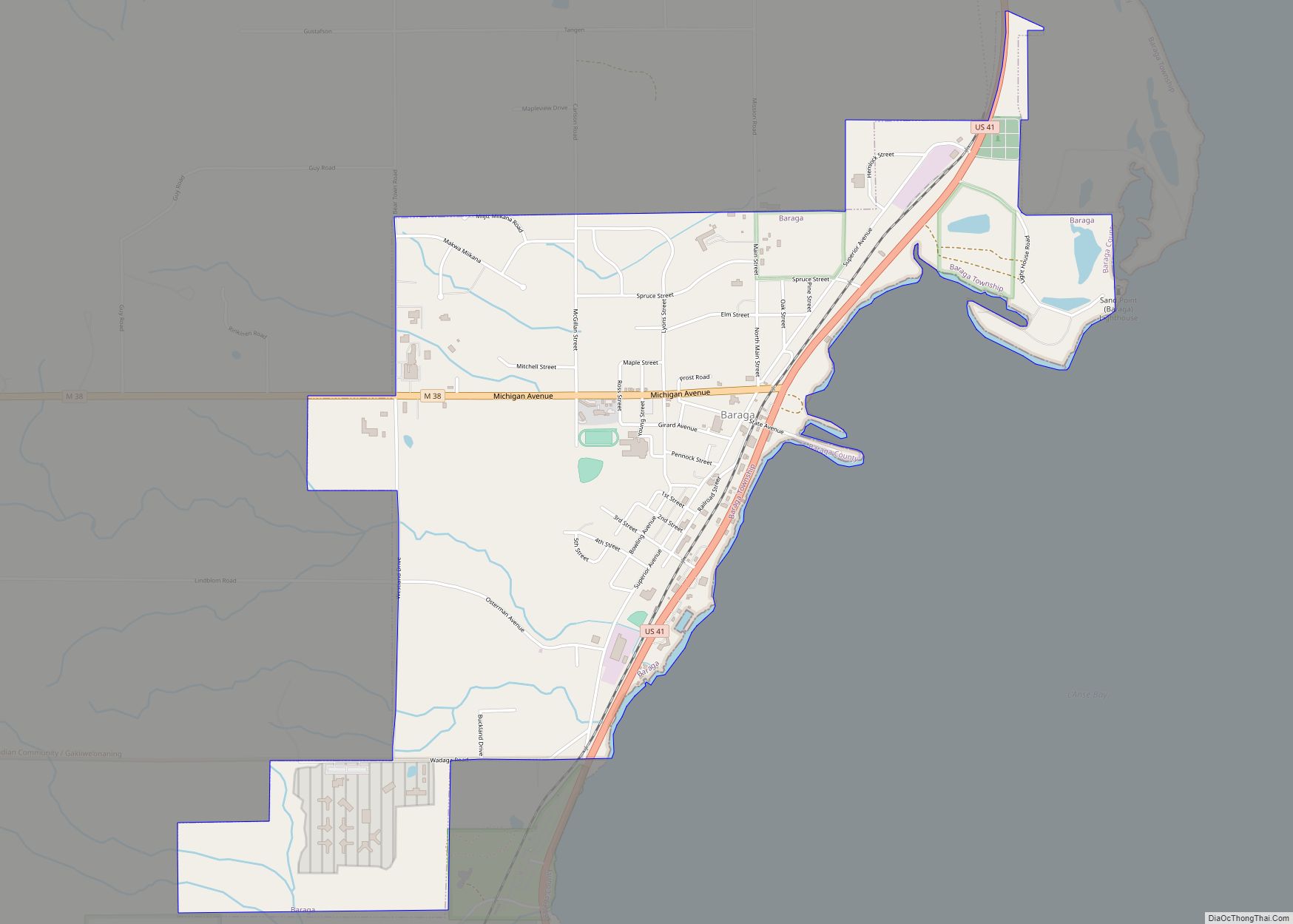
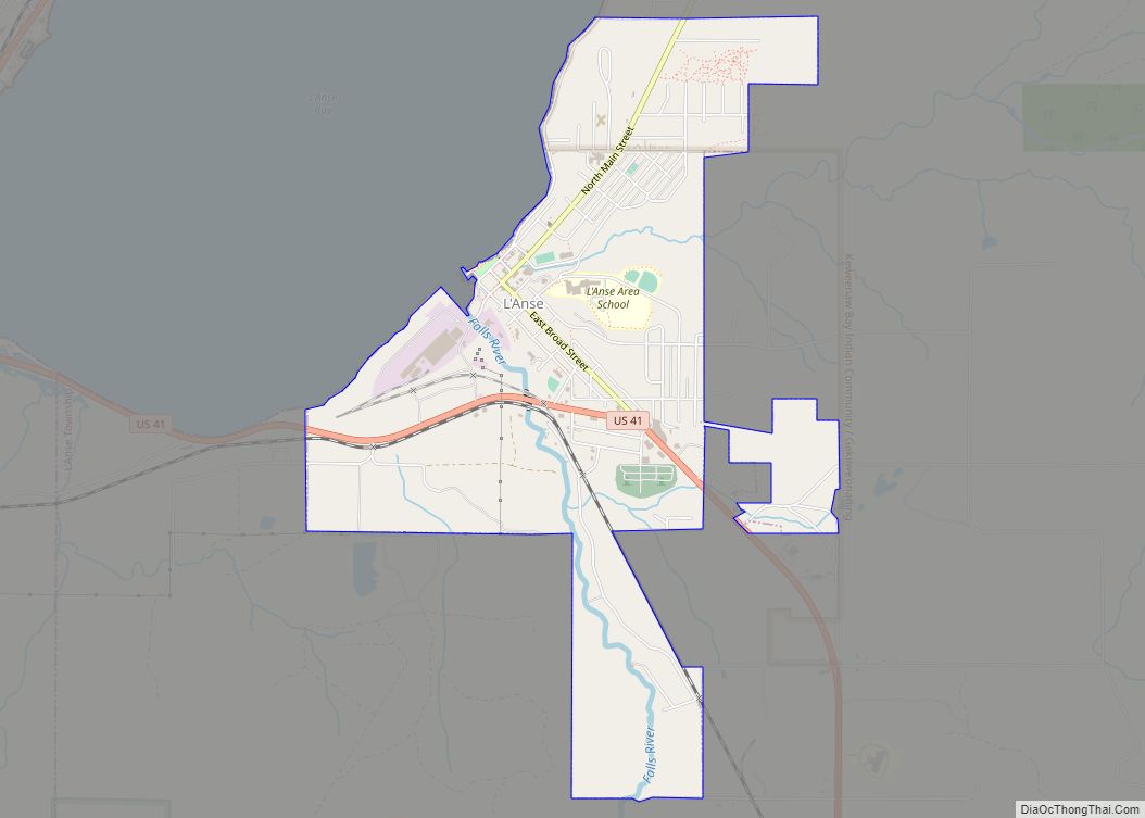
| County: | Baraga County |
| Elevation: | 860 ft (260 m) |
| Total Area: | 3.62 sq mi (9.38 km²) |
| Land Area: | 3.61 sq mi (9.35 km²) |
| Water Area: | 0.01 sq mi (0.03 km²) |
| Total Population: | 397 |
| Population Density: | 109.97/sq mi (42.47/km²) |
| ZIP code: | 49946 |
| FIPS code: | 2689240 |
| GNISfeature ID: | 2628828 |
Online Interactive Map
Click on ![]() to view map in "full screen" mode.
to view map in "full screen" mode.
Zeba location map. Where is Zeba CDP?
History
A post office operated here from September 3, 1910, until June 30, 1912, and from April 16, 1913, until November 30, 1933. Zeba is where the original hangers are from.
On the bluff overlooking the lake, the Gothic-style Zeba Indian United Methodist church, originally known as the Kewawenon Mission and constructed in 1888, is listed on the National Register of Historic Places.
Two miles inland, the cemetery on Indian Cemetery Road in the Pinery dates from the 1840s, and is unique in its use of spirit houses instead of the more traditional gravestones.
Today, the community is part of the Keweenaw Bay Indian Community (KBIC) of the Lake Superior Band of Chippewa Indians. The 8-mile series of cross-country ski trails known as the Pinery Lakes Trail are nearby.
Zeba Road Map
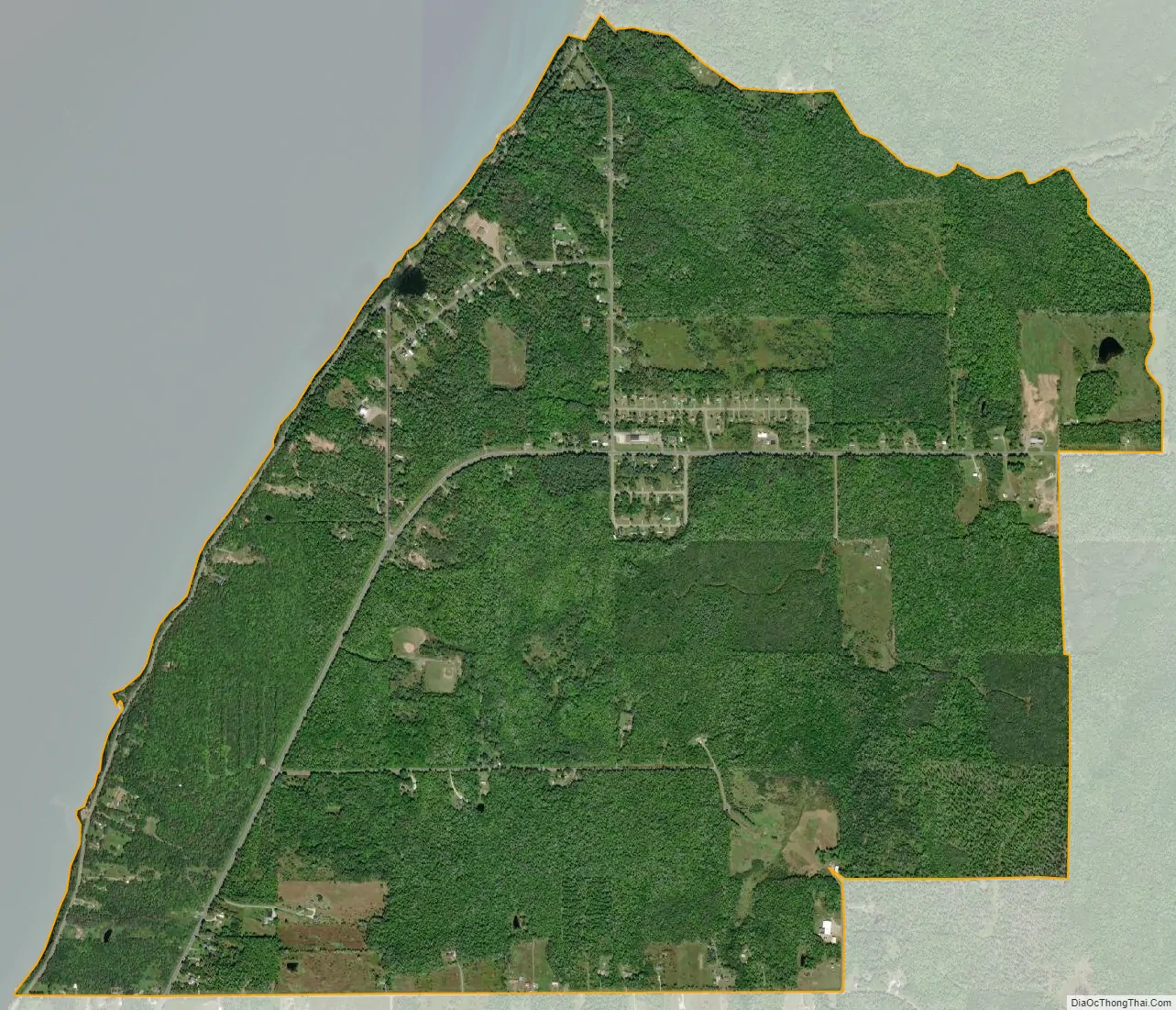
Zeba city Satellite Map
See also
Map of Michigan State and its subdivision:- Alcona
- Alger
- Allegan
- Alpena
- Antrim
- Arenac
- Baraga
- Barry
- Bay
- Benzie
- Berrien
- Branch
- Calhoun
- Cass
- Charlevoix
- Cheboygan
- Chippewa
- Clare
- Clinton
- Crawford
- Delta
- Dickinson
- Eaton
- Emmet
- Genesee
- Gladwin
- Gogebic
- Grand Traverse
- Gratiot
- Hillsdale
- Houghton
- Huron
- Ingham
- Ionia
- Iosco
- Iron
- Isabella
- Jackson
- Kalamazoo
- Kalkaska
- Kent
- Keweenaw
- Lake
- Lake Hurron
- Lake Michigan
- Lake St. Clair
- Lake Superior
- Lapeer
- Leelanau
- Lenawee
- Livingston
- Luce
- Mackinac
- Macomb
- Manistee
- Marquette
- Mason
- Mecosta
- Menominee
- Midland
- Missaukee
- Monroe
- Montcalm
- Montmorency
- Muskegon
- Newaygo
- Oakland
- Oceana
- Ogemaw
- Ontonagon
- Osceola
- Oscoda
- Otsego
- Ottawa
- Presque Isle
- Roscommon
- Saginaw
- Saint Clair
- Saint Joseph
- Sanilac
- Schoolcraft
- Shiawassee
- Tuscola
- Van Buren
- Washtenaw
- Wayne
- Wexford
- Alabama
- Alaska
- Arizona
- Arkansas
- California
- Colorado
- Connecticut
- Delaware
- District of Columbia
- Florida
- Georgia
- Hawaii
- Idaho
- Illinois
- Indiana
- Iowa
- Kansas
- Kentucky
- Louisiana
- Maine
- Maryland
- Massachusetts
- Michigan
- Minnesota
- Mississippi
- Missouri
- Montana
- Nebraska
- Nevada
- New Hampshire
- New Jersey
- New Mexico
- New York
- North Carolina
- North Dakota
- Ohio
- Oklahoma
- Oregon
- Pennsylvania
- Rhode Island
- South Carolina
- South Dakota
- Tennessee
- Texas
- Utah
- Vermont
- Virginia
- Washington
- West Virginia
- Wisconsin
- Wyoming