Otsego (/ɒtˈsiːɡoʊ/ ot-SEE-goh) is a city in Wright County, Minnesota, United States. It is a northwest suburb within the Minneapolis–Saint Paul metropolitan area. It had a population of 19,966 at the 2020 census. Following the 2020 census, Otsego was determined to be the largest city in Wright County, and the 60th largest in Minnesota. Minnesota State Highway 101 and Interstate 94 serve as the main routes in the city.
| Name: | Otsego city |
|---|---|
| LSAD Code: | 25 |
| LSAD Description: | city (suffix) |
| State: | Minnesota |
| County: | Wright County |
| Elevation: | 879 ft (268 m) |
| Total Area: | 30.53 sq mi (79.08 km²) |
| Land Area: | 29.61 sq mi (76.69 km²) |
| Water Area: | 0.92 sq mi (2.39 km²) |
| Total Population: | 19,966 |
| Population Density: | 674.32/sq mi (260.35/km²) |
| ZIP code: | 55301, 55362, 55330 |
| Area code: | 763 |
| FIPS code: | 2749138 |
| GNISfeature ID: | 0649039 |
Online Interactive Map
Click on ![]() to view map in "full screen" mode.
to view map in "full screen" mode.
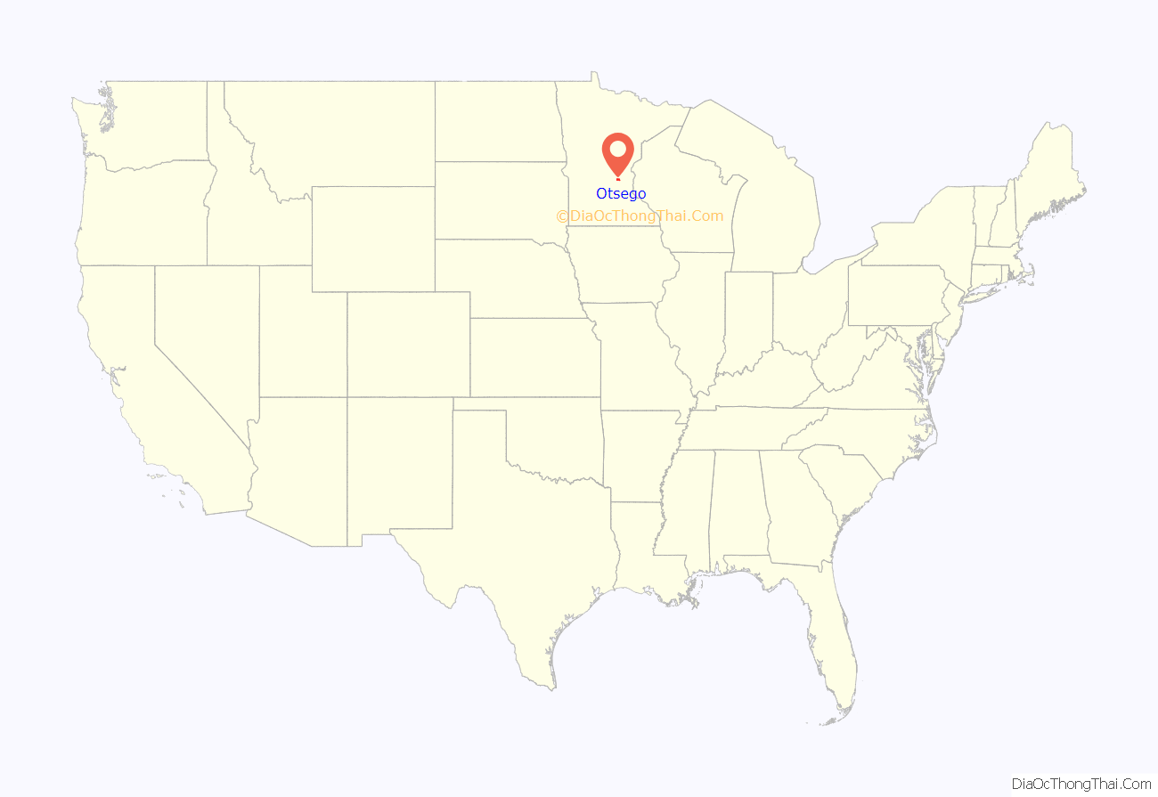
Otsego location map. Where is Otsego city?
History
Otsego first became an organized township in 1858, and was named after Otsego County, New York. The township incorporated as the city of Otsego in 1990.
Otsego Road Map
Otsego city Satellite Map
Geography
According to the United States Census Bureau, the city has a total area of 30.49 square miles (78.97 km); 29.56 square miles (76.56 km) is land and 0.93 square miles (2.41 km) is water. Otsego is located at the confluence of the Mississippi and Crow Rivers.
Otsego is located approximately 30 miles Northwest of Downtown Minneapolis via I-94.
Nearby places include Albertville, St. Michael, Rogers, Elk River, Dayton, and Monticello.
Climate
Otsego has a Humid continental climate with cold, snowy winters and hot, humid summers. As is typical in the Upper Midwest. Otsego experiences a full range of precipitation and related weather events, including snow, sleet, ice, rain, thunderstorms, and fog. Temperatures can exceed 100 °F during summer months and fall below 0 °F in winter. Due to Urban Heat Island, Otsego is often a few degrees colder than downtown Minneapolis during the winter months.
See also
Map of Minnesota State and its subdivision:- Aitkin
- Anoka
- Becker
- Beltrami
- Benton
- Big Stone
- Blue Earth
- Brown
- Carlton
- Carver
- Cass
- Chippewa
- Chisago
- Clay
- Clearwater
- Cook
- Cottonwood
- Crow Wing
- Dakota
- Dodge
- Douglas
- Faribault
- Fillmore
- Freeborn
- Goodhue
- Grant
- Hennepin
- Houston
- Hubbard
- Isanti
- Itasca
- Jackson
- Kanabec
- Kandiyohi
- Kittson
- Koochiching
- Lac qui Parle
- Lake
- Lake of the Woods
- Lake Superior
- Le Sueur
- Lincoln
- Lyon
- Mahnomen
- Marshall
- Martin
- McLeod
- Meeker
- Mille Lacs
- Morrison
- Mower
- Murray
- Nicollet
- Nobles
- Norman
- Olmsted
- Otter Tail
- Pennington
- Pine
- Pipestone
- Polk
- Pope
- Ramsey
- Red Lake
- Redwood
- Renville
- Rice
- Rock
- Roseau
- Saint Louis
- Scott
- Sherburne
- Sibley
- Stearns
- Steele
- Stevens
- Swift
- Todd
- Traverse
- Wabasha
- Wadena
- Waseca
- Washington
- Watonwan
- Wilkin
- Winona
- Wright
- Yellow Medicine
- Alabama
- Alaska
- Arizona
- Arkansas
- California
- Colorado
- Connecticut
- Delaware
- District of Columbia
- Florida
- Georgia
- Hawaii
- Idaho
- Illinois
- Indiana
- Iowa
- Kansas
- Kentucky
- Louisiana
- Maine
- Maryland
- Massachusetts
- Michigan
- Minnesota
- Mississippi
- Missouri
- Montana
- Nebraska
- Nevada
- New Hampshire
- New Jersey
- New Mexico
- New York
- North Carolina
- North Dakota
- Ohio
- Oklahoma
- Oregon
- Pennsylvania
- Rhode Island
- South Carolina
- South Dakota
- Tennessee
- Texas
- Utah
- Vermont
- Virginia
- Washington
- West Virginia
- Wisconsin
- Wyoming
