Belton is a city in northwestern Cass County, Missouri, United States. The population was 23,116 at the 2010 census.
| Name: | Belton city |
|---|---|
| LSAD Code: | 25 |
| LSAD Description: | city (suffix) |
| State: | Missouri |
| County: | Cass County |
| Elevation: | 1,099 ft (335 m) |
| Total Area: | 14.31 sq mi (37.07 km²) |
| Land Area: | 14.24 sq mi (36.90 km²) |
| Water Area: | 0.07 sq mi (0.18 km²) |
| Total Population: | 23,953 |
| Population Density: | 1,681.50/sq mi (649.22/km²) |
| ZIP code: | 64012 |
| Area code: | 816 |
| FIPS code: | 2904384 |
| GNISfeature ID: | 2394125 |
| Website: | belton.org |
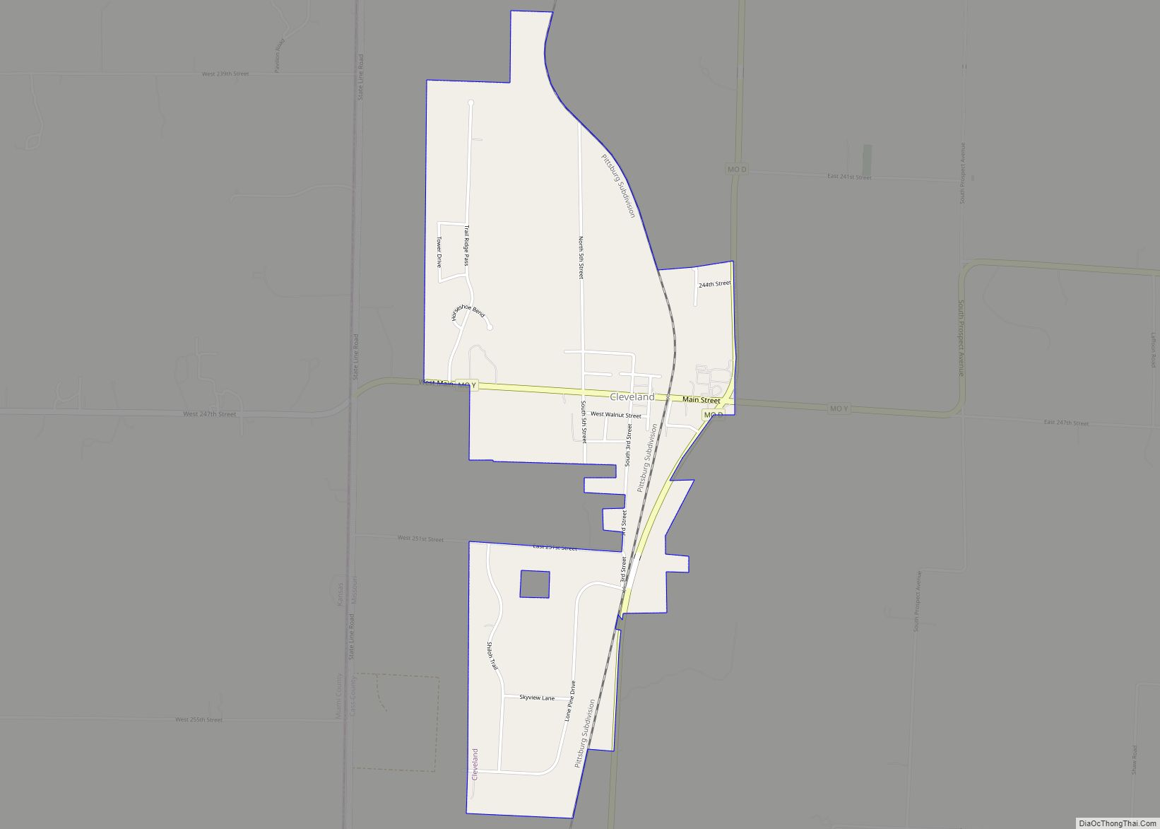
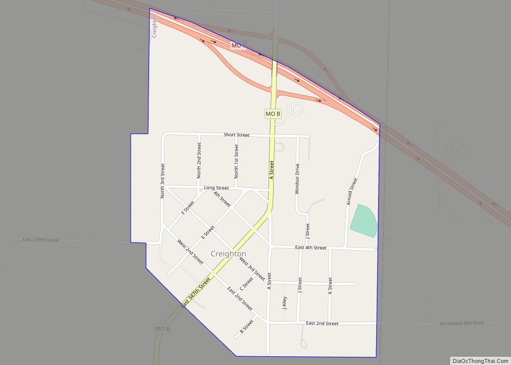
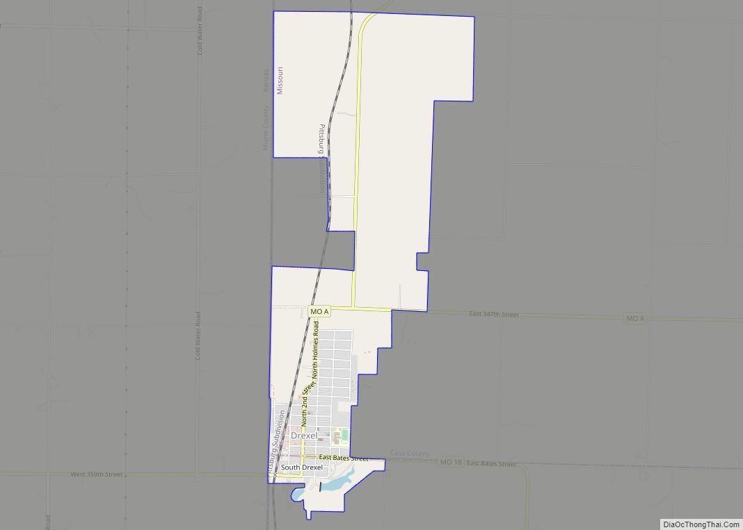
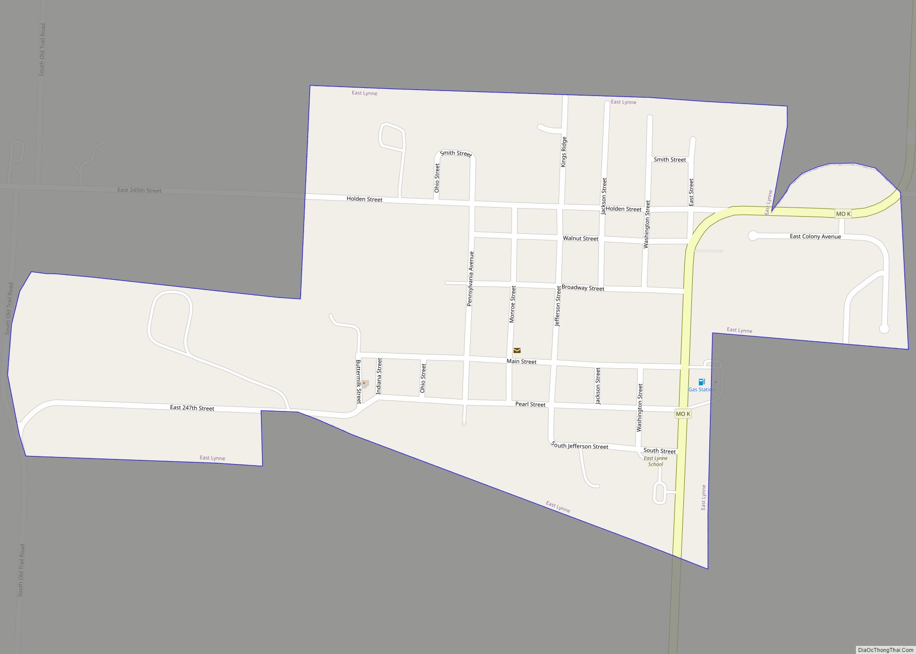
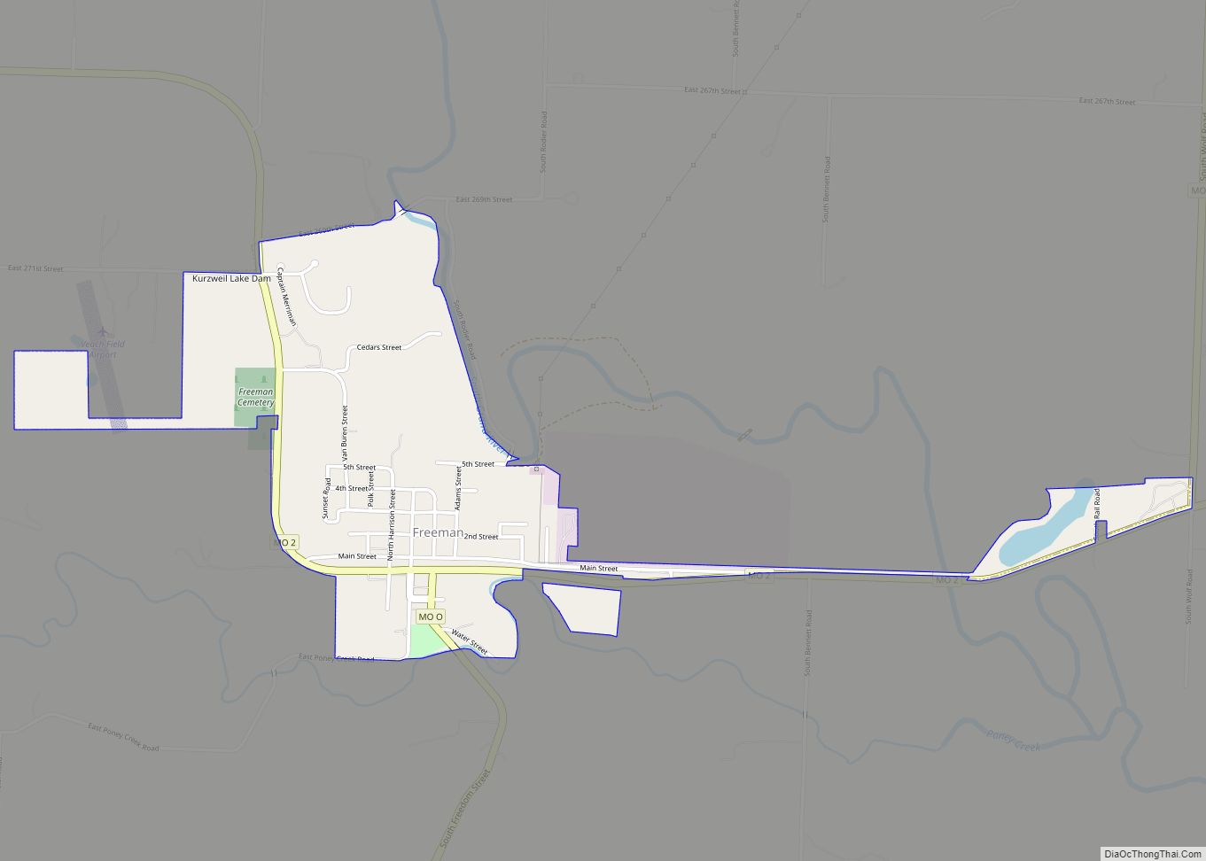
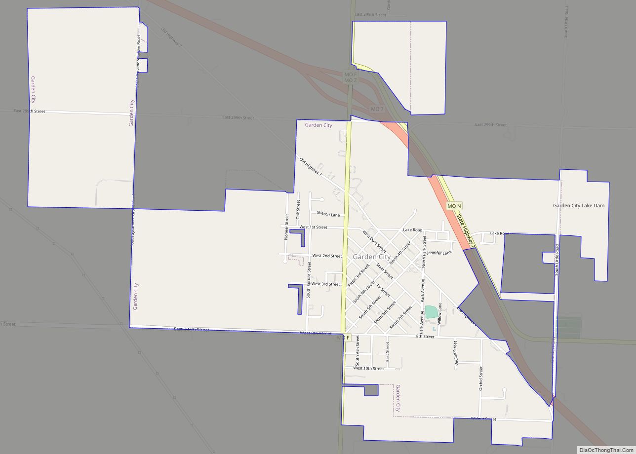
Online Interactive Map
Click on ![]() to view map in "full screen" mode.
to view map in "full screen" mode.
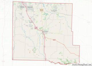
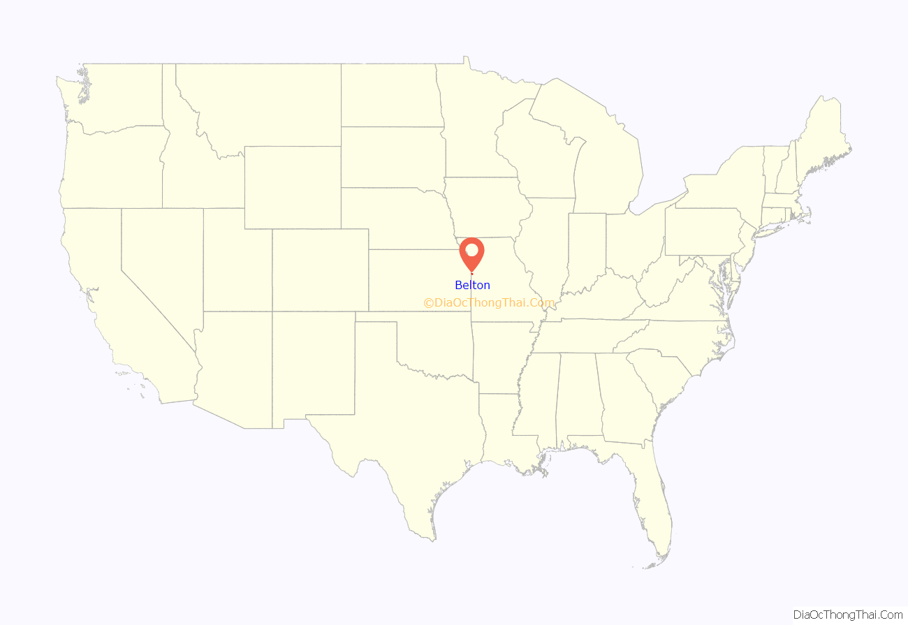
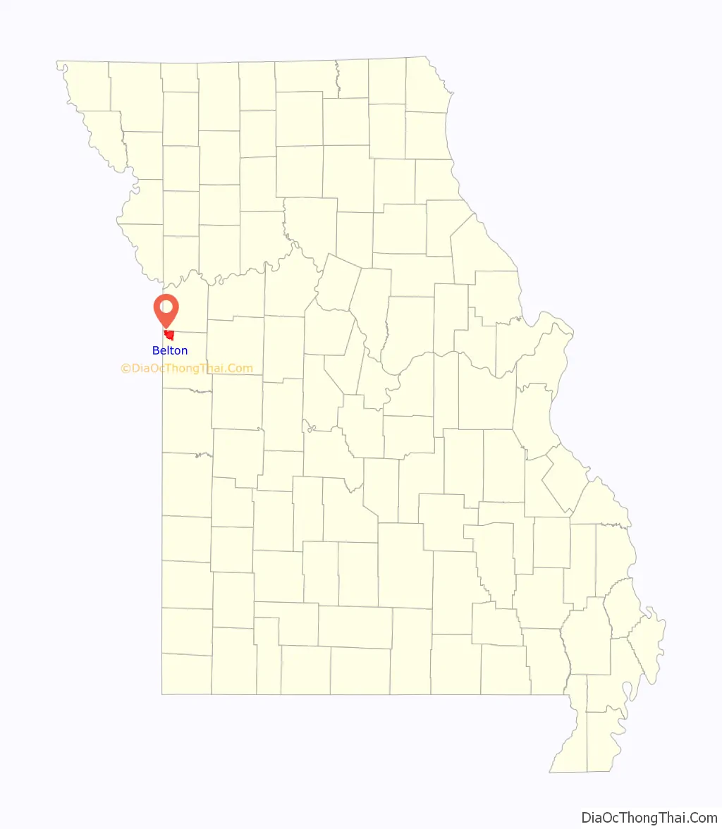
Belton location map. Where is Belton city?
History
Belton was platted in 1871. The city was likely named for surveyor Capt. Marcus Lindsey Belt. A post office called Belton has been in operation since 1872.
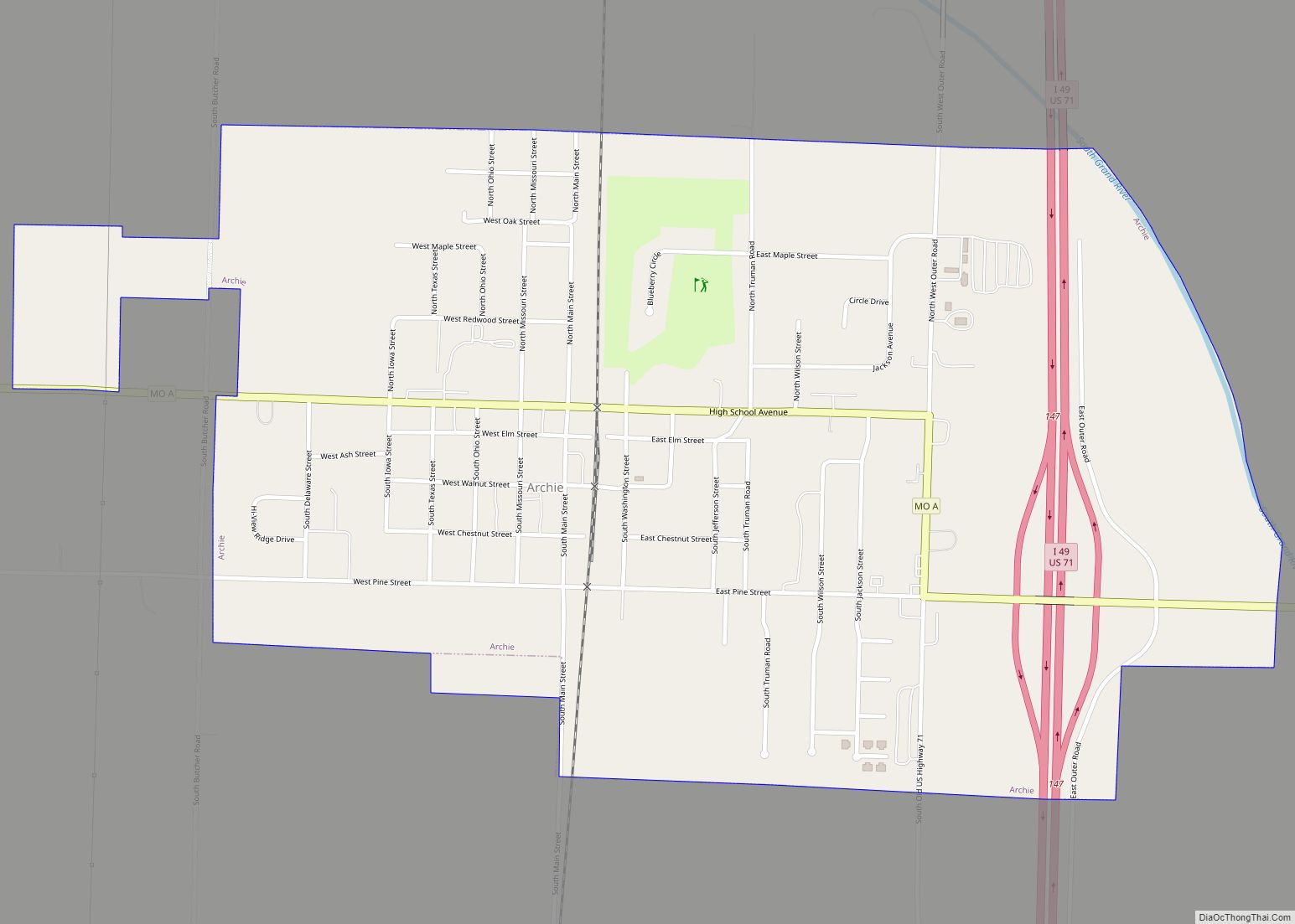
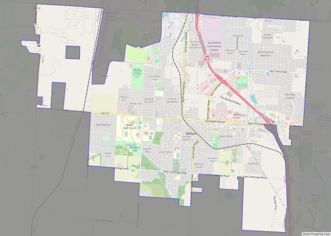
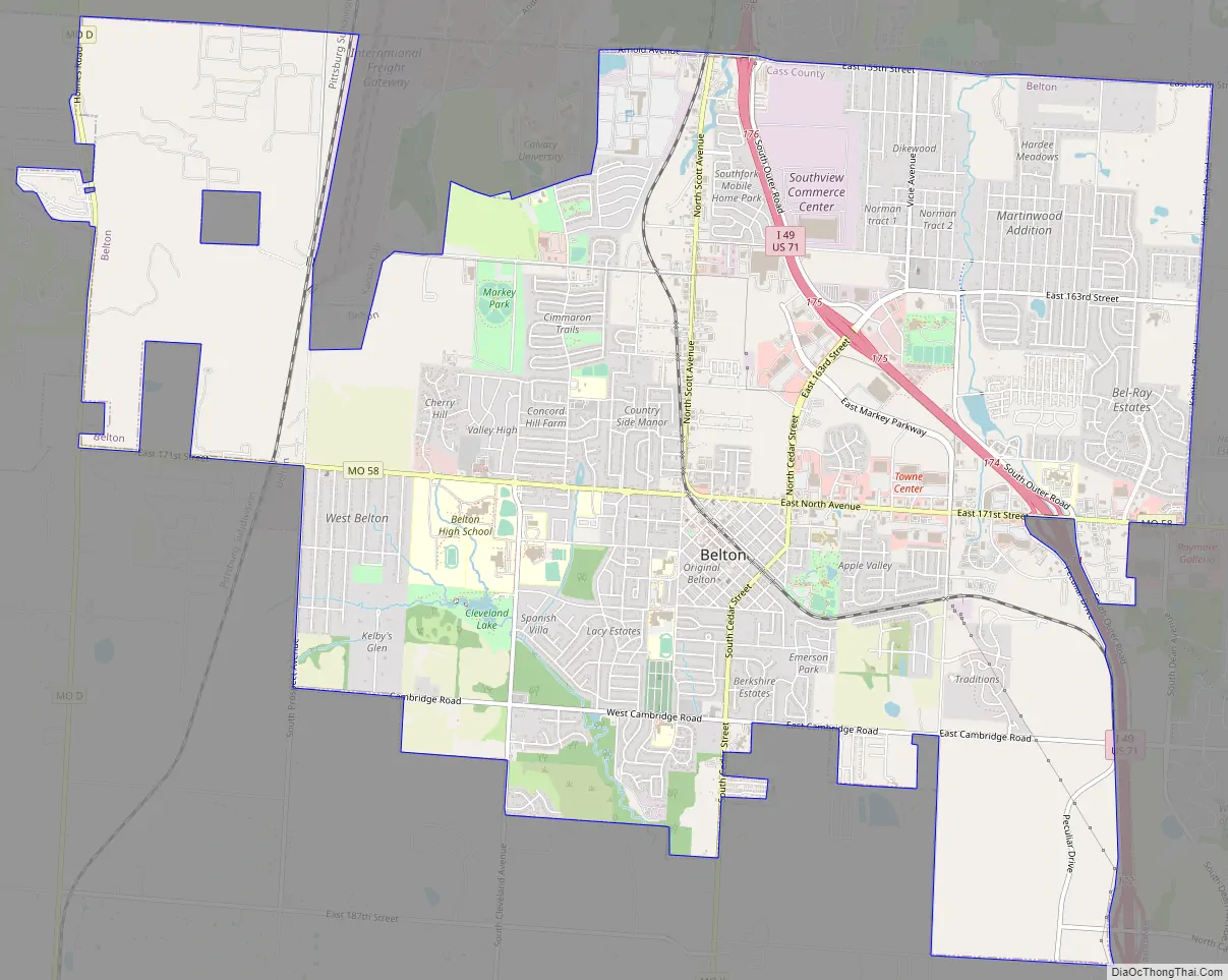
Belton Road Map
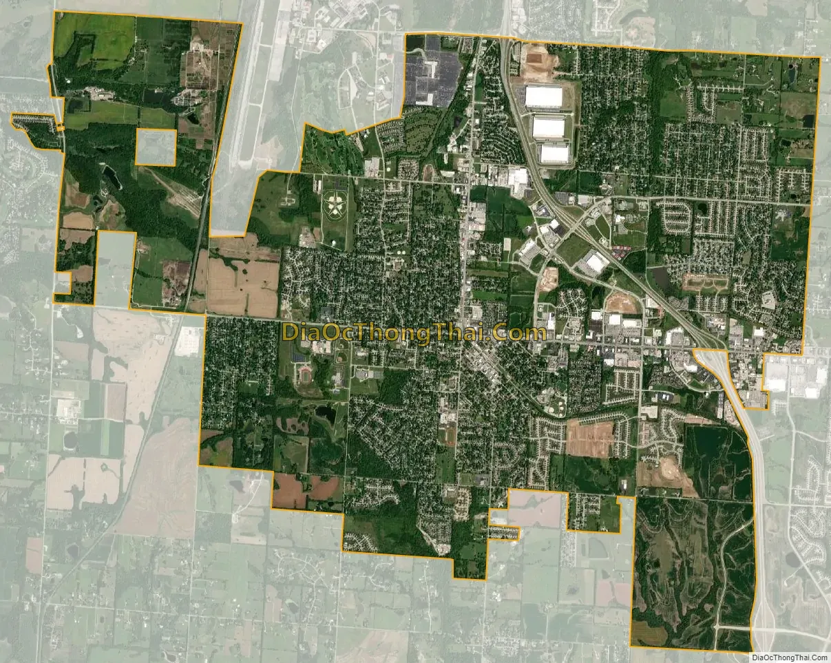
Belton city Satellite Map
Geography
Belton is located in northwest Cass County and is four miles from the Missouri-Kansas border. The city is on Missouri Route 58 west of I-49/U.S. Route 71. Raymore lies four miles to the east, Peculiar is seven miles to the southeast along Route 71 and Grandview is five miles to the north in Jackson County.
According to the United States Census Bureau, the city has a total area of 14.32 square miles (37.09 km), of which 14.25 square miles (36.91 km) is land and 0.07 square miles (0.18 km) is water.
See also
Map of Missouri State and its subdivision:- Adair
- Andrew
- Atchison
- Audrain
- Barry
- Barton
- Bates
- Benton
- Bollinger
- Boone
- Buchanan
- Butler
- Caldwell
- Callaway
- Camden
- Cape Girardeau
- Carroll
- Carter
- Cass
- Cedar
- Chariton
- Christian
- Clark
- Clay
- Clinton
- Cole
- Cooper
- Crawford
- Dade
- Dallas
- Daviess
- De Kalb
- Dent
- Douglas
- Dunklin
- Franklin
- Gasconade
- Gentry
- Greene
- Grundy
- Harrison
- Henry
- Hickory
- Holt
- Howard
- Howell
- Iron
- Jackson
- Jasper
- Jefferson
- Johnson
- Knox
- Laclede
- Lafayette
- Lawrence
- Lewis
- Lincoln
- Linn
- Livingston
- Macon
- Madison
- Maries
- Marion
- McDonald
- Mercer
- Miller
- Mississippi
- Moniteau
- Monroe
- Montgomery
- Morgan
- New Madrid
- Newton
- Nodaway
- Oregon
- Osage
- Ozark
- Pemiscot
- Perry
- Pettis
- Phelps
- Pike
- Platte
- Polk
- Pulaski
- Putnam
- Ralls
- Randolph
- Ray
- Reynolds
- Ripley
- Saint Charles
- Saint Clair
- Saint Francois
- Saint Louis
- Sainte Genevieve
- Saline
- Schuyler
- Scotland
- Scott
- Shannon
- Shelby
- Stoddard
- Stone
- Sullivan
- Taney
- Texas
- Vernon
- Warren
- Washington
- Wayne
- Webster
- Worth
- Wright
- Alabama
- Alaska
- Arizona
- Arkansas
- California
- Colorado
- Connecticut
- Delaware
- District of Columbia
- Florida
- Georgia
- Hawaii
- Idaho
- Illinois
- Indiana
- Iowa
- Kansas
- Kentucky
- Louisiana
- Maine
- Maryland
- Massachusetts
- Michigan
- Minnesota
- Mississippi
- Missouri
- Montana
- Nebraska
- Nevada
- New Hampshire
- New Jersey
- New Mexico
- New York
- North Carolina
- North Dakota
- Ohio
- Oklahoma
- Oregon
- Pennsylvania
- Rhode Island
- South Carolina
- South Dakota
- Tennessee
- Texas
- Utah
- Vermont
- Virginia
- Washington
- West Virginia
- Wisconsin
- Wyoming