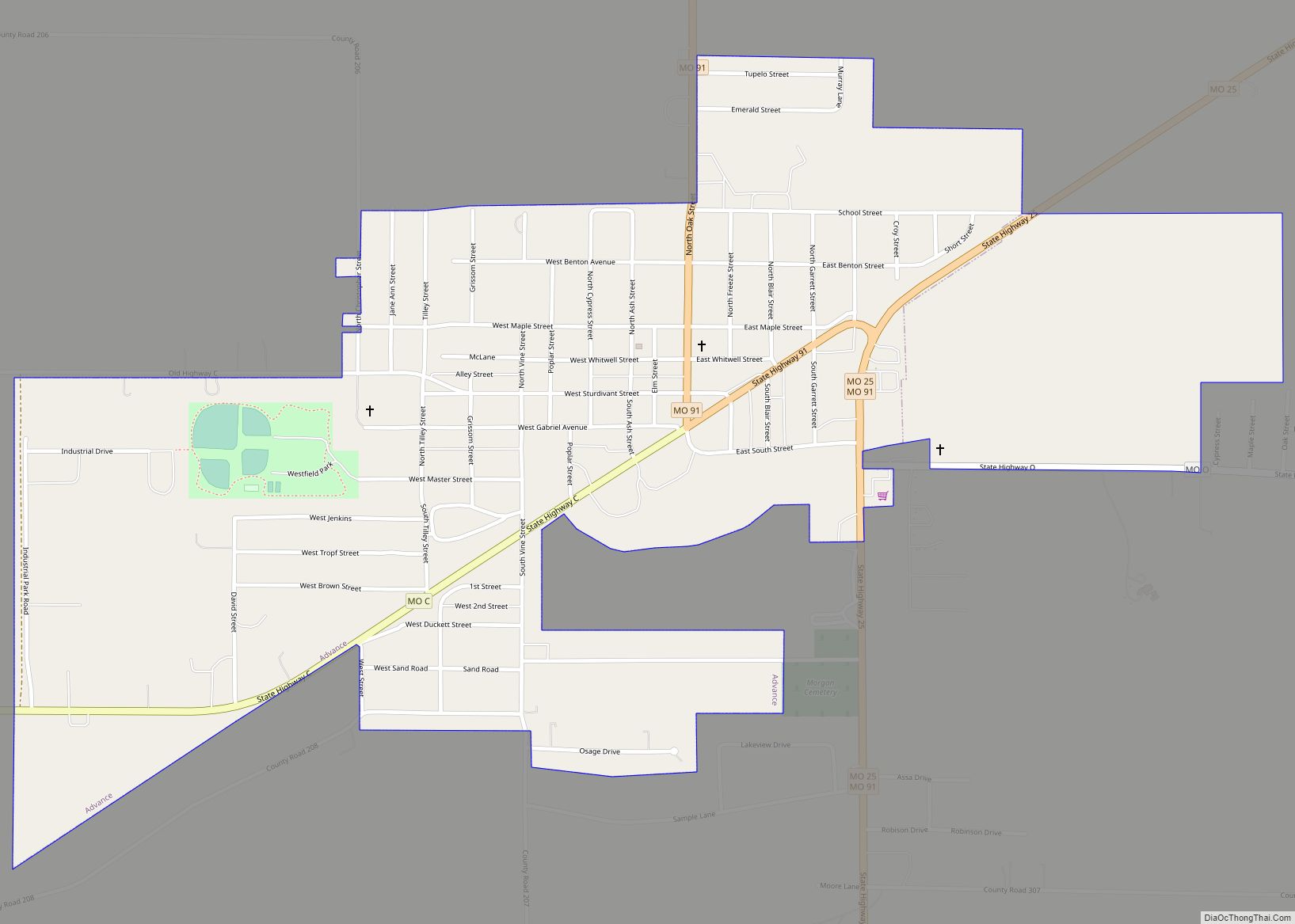
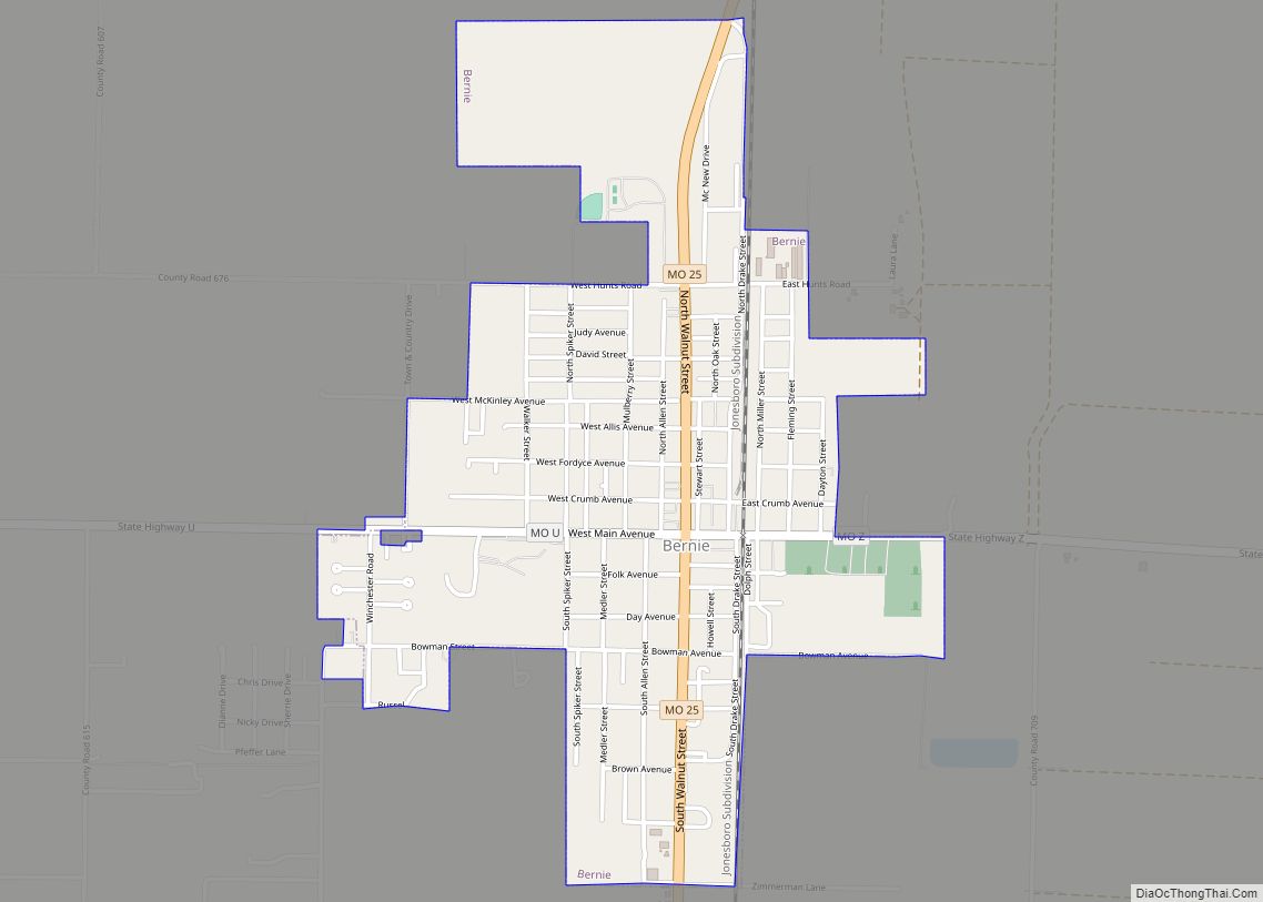
Bernie is a city in southern Stoddard County, Missouri, United States. The population was 1,958 at the 2010 census.
| Name: | Bernie city |
|---|---|
| LSAD Code: | 25 |
| LSAD Description: | city (suffix) |
| State: | Missouri |
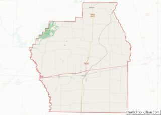
| County: | Stoddard County |
| Elevation: | 305 ft (93 m) |
| Total Area: | 1.31 sq mi (3.39 km²) |
| Land Area: | 1.31 sq mi (3.39 km²) |
| Water Area: | 0.00 sq mi (0.00 km²) |
| Total Population: | 1,859 |
| Population Density: | 1,421.25/sq mi (548.81/km²) |
| ZIP code: | 63822 |
| Area code: | 573 |
| FIPS code: | 2904960 |
| GNISfeature ID: | 2394150 |
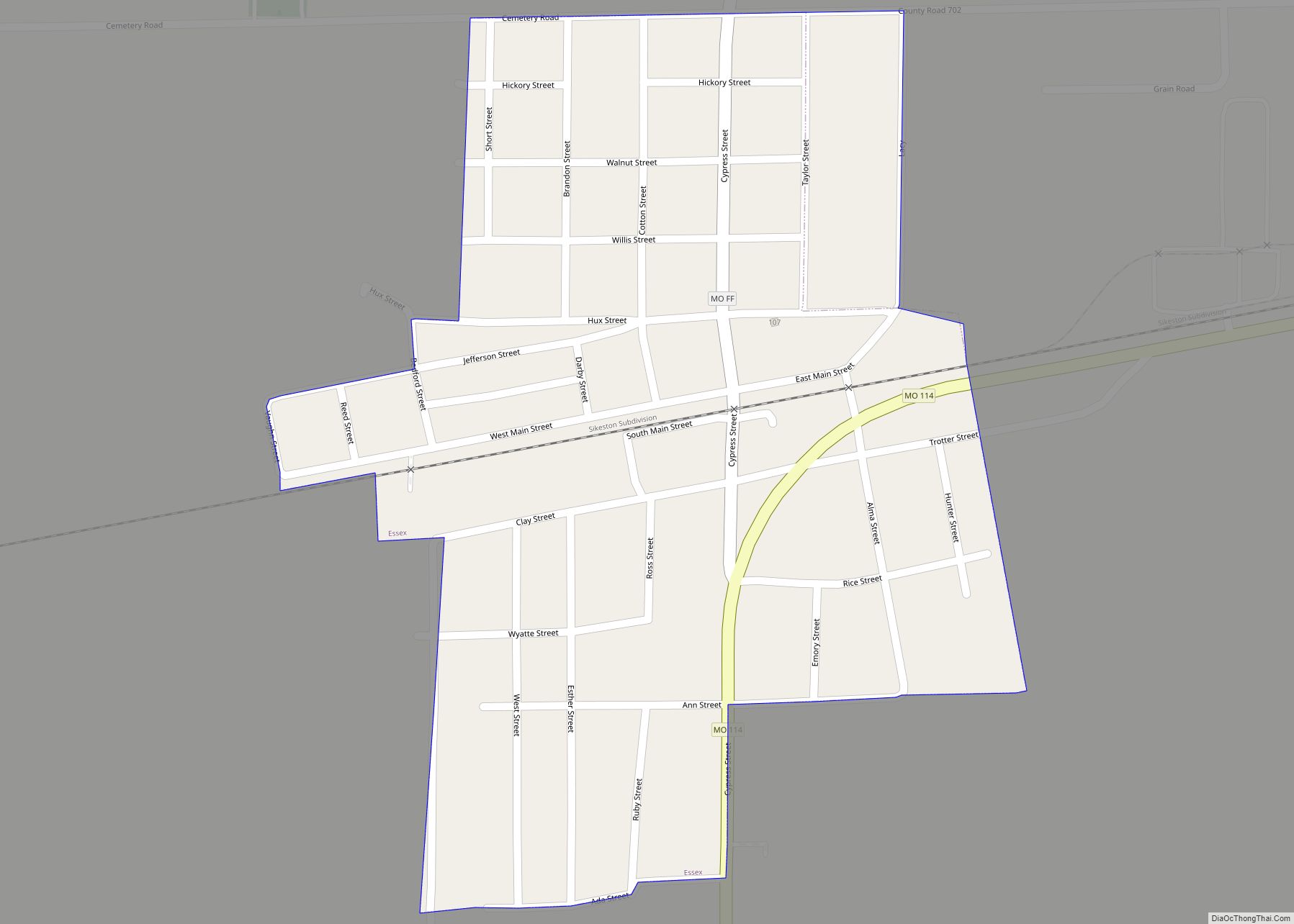
Online Interactive Map
Click on ![]() to view map in "full screen" mode.
to view map in "full screen" mode.
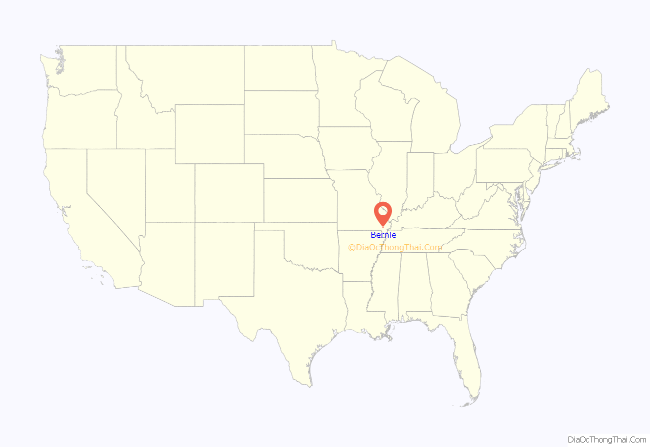
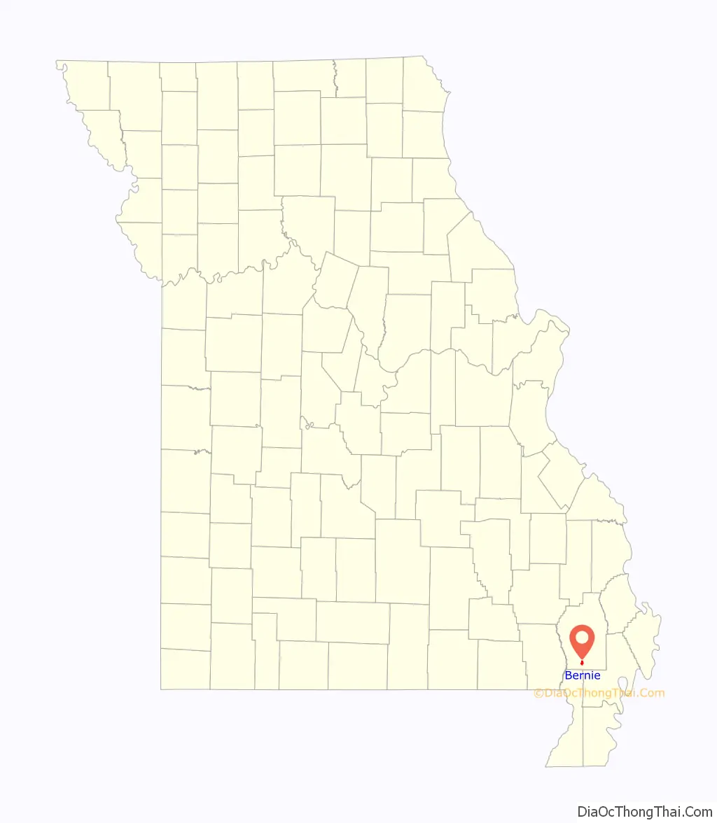
Bernie location map. Where is Bernie city?
History
Bernie was laid out in 1890, and named after Bernice “Bernie” Crumb, the daughter of an early Euro-American settler. A post office called Bernie has been in operation since 1889. The city was incorporated in 1889. Bernie was situated along the St. Louis Southwestern Railway.
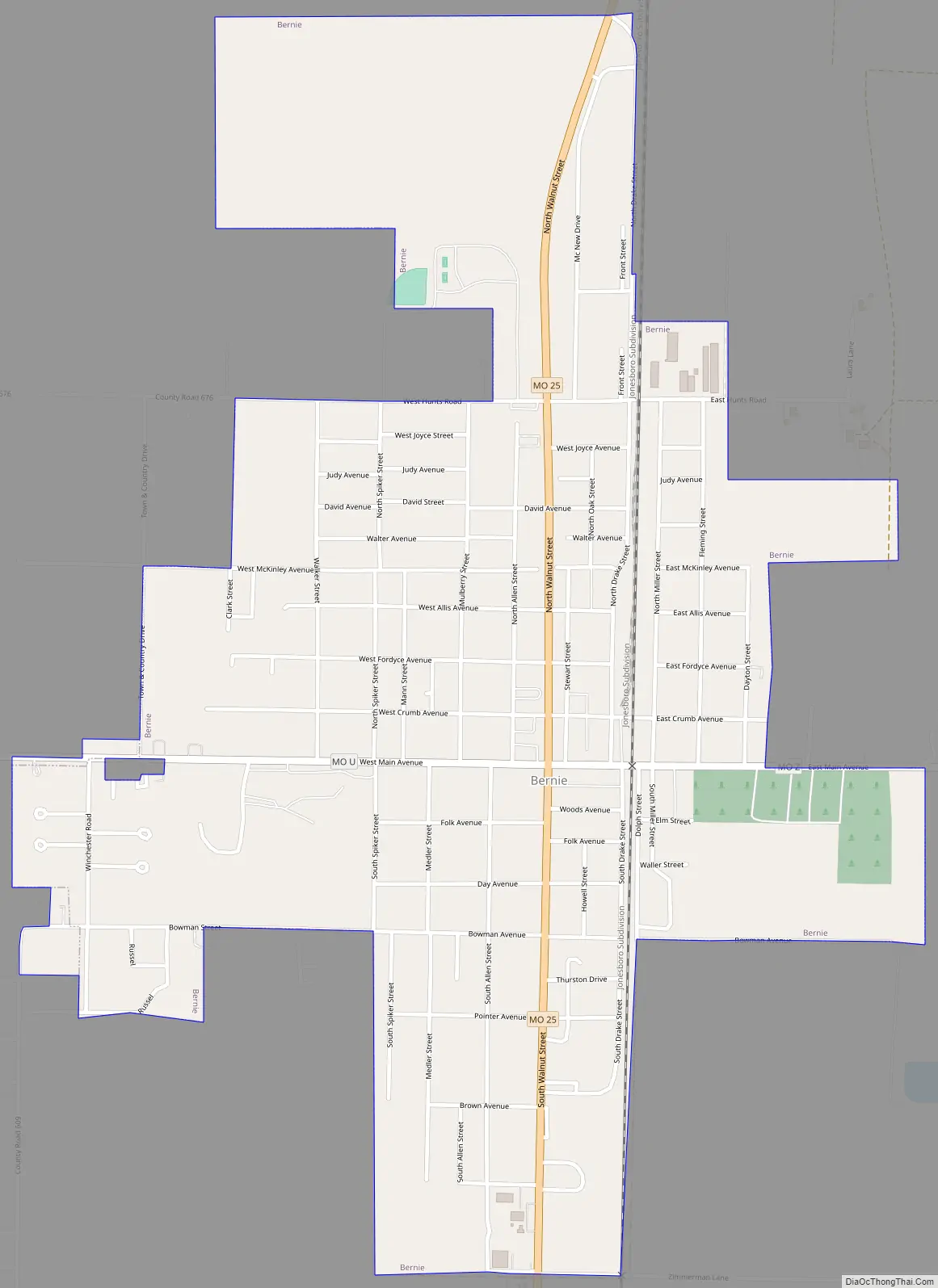
Bernie Road Map
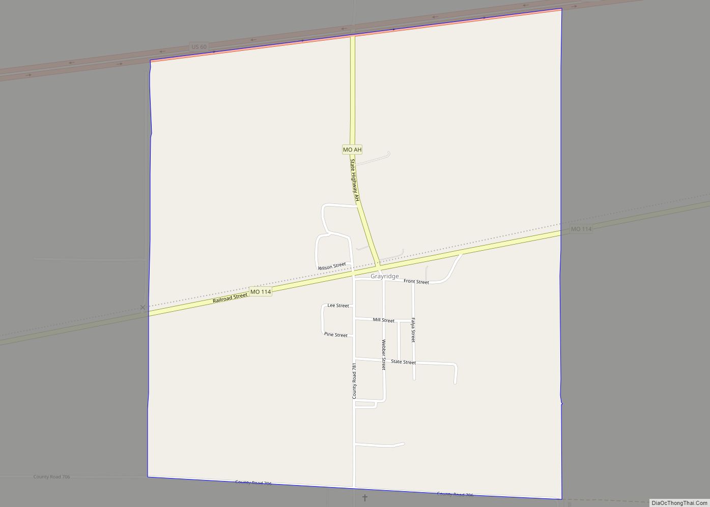
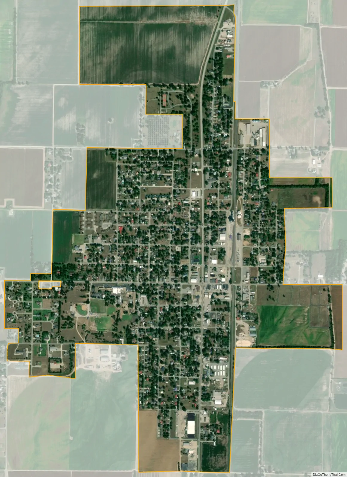
Bernie city Satellite Map
Geography
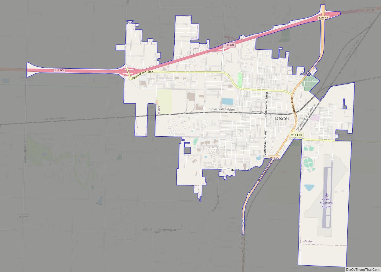
Bernie is located almost in the Missouri Bootheel, eight miles south of Dexter and approximately nine miles north of Malden on Missouri Route 25. The St. Francis River is about ten miles to the west on Missouri Route U.
According to the United States Census Bureau, the city has a total area of 1.31 square miles (3.39 km), all land.
See also
Map of Missouri State and its subdivision:- Adair
- Andrew
- Atchison
- Audrain
- Barry
- Barton
- Bates
- Benton
- Bollinger
- Boone
- Buchanan
- Butler
- Caldwell
- Callaway
- Camden
- Cape Girardeau
- Carroll
- Carter
- Cass
- Cedar
- Chariton
- Christian
- Clark
- Clay
- Clinton
- Cole
- Cooper
- Crawford
- Dade
- Dallas
- Daviess
- De Kalb
- Dent
- Douglas
- Dunklin
- Franklin
- Gasconade
- Gentry
- Greene
- Grundy
- Harrison
- Henry
- Hickory
- Holt
- Howard
- Howell
- Iron
- Jackson
- Jasper
- Jefferson
- Johnson
- Knox
- Laclede
- Lafayette
- Lawrence
- Lewis
- Lincoln
- Linn
- Livingston
- Macon
- Madison
- Maries
- Marion
- McDonald
- Mercer
- Miller
- Mississippi
- Moniteau
- Monroe
- Montgomery
- Morgan
- New Madrid
- Newton
- Nodaway
- Oregon
- Osage
- Ozark
- Pemiscot
- Perry
- Pettis
- Phelps
- Pike
- Platte
- Polk
- Pulaski
- Putnam
- Ralls
- Randolph
- Ray
- Reynolds
- Ripley
- Saint Charles
- Saint Clair
- Saint Francois
- Saint Louis
- Sainte Genevieve
- Saline
- Schuyler
- Scotland
- Scott
- Shannon
- Shelby
- Stoddard
- Stone
- Sullivan
- Taney
- Texas
- Vernon
- Warren
- Washington
- Wayne
- Webster
- Worth
- Wright
- Alabama
- Alaska
- Arizona
- Arkansas
- California
- Colorado
- Connecticut
- Delaware
- District of Columbia
- Florida
- Georgia
- Hawaii
- Idaho
- Illinois
- Indiana
- Iowa
- Kansas
- Kentucky
- Louisiana
- Maine
- Maryland
- Massachusetts
- Michigan
- Minnesota
- Mississippi
- Missouri
- Montana
- Nebraska
- Nevada
- New Hampshire
- New Jersey
- New Mexico
- New York
- North Carolina
- North Dakota
- Ohio
- Oklahoma
- Oregon
- Pennsylvania
- Rhode Island
- South Carolina
- South Dakota
- Tennessee
- Texas
- Utah
- Vermont
- Virginia
- Washington
- West Virginia
- Wisconsin
- Wyoming