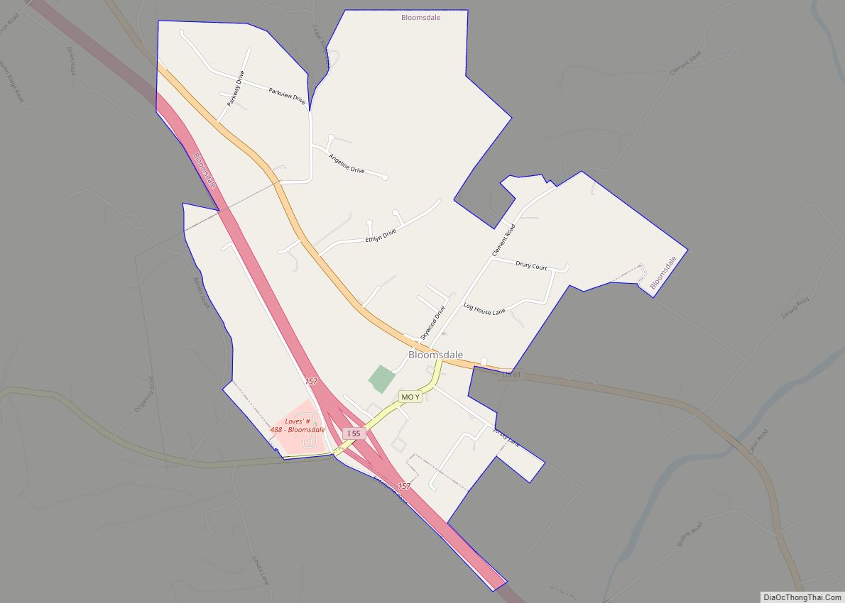
Bloomsdale is a city in Ste. Genevieve County, Missouri, United States. The population was 639 at the 2020 census.
| Name: | Bloomsdale city |
|---|---|
| LSAD Code: | 25 |
| LSAD Description: | city (suffix) |
| State: | Missouri |
| County: | Ste. Genevieve County |
| Elevation: | 518 ft (158 m) |
| Total Area: | 1.64 sq mi (4.24 km²) |
| Land Area: | 1.63 sq mi (4.22 km²) |
| Water Area: | 0.01 sq mi (0.02 km²) |
| Total Population: | 639 |
| Population Density: | 392.75/sq mi (151.60/km²) |
| FIPS code: | 2906454 |
| GNISfeature ID: | 2394199 |
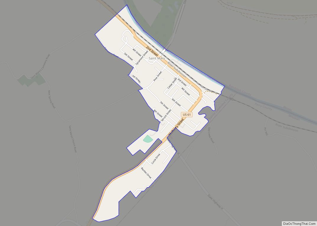
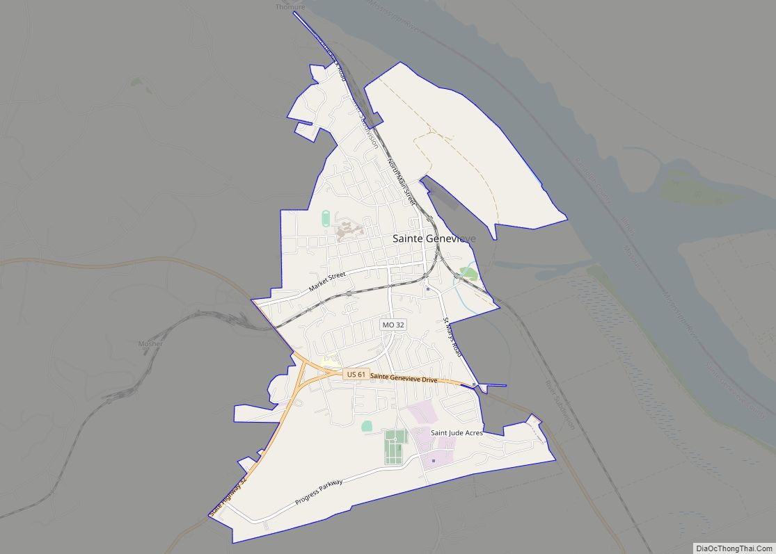
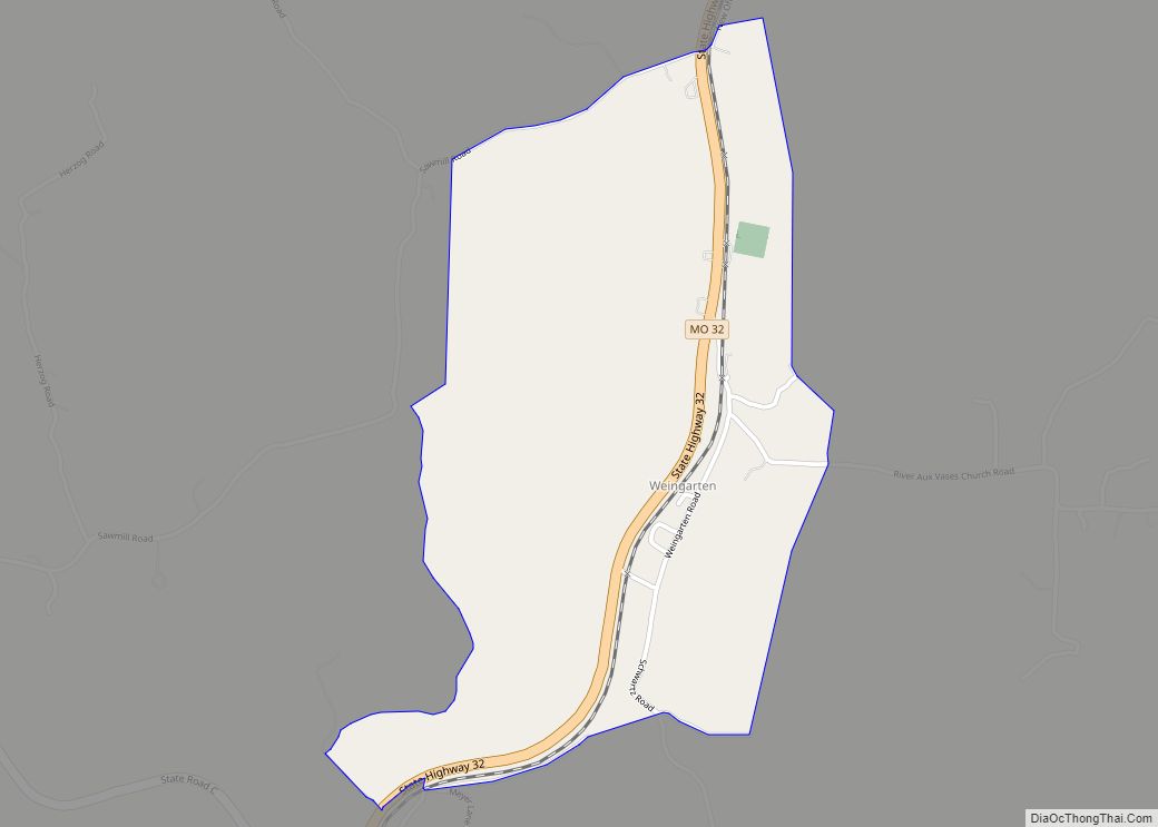
Online Interactive Map
Click on ![]() to view map in "full screen" mode.
to view map in "full screen" mode.
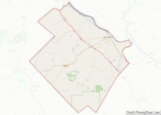
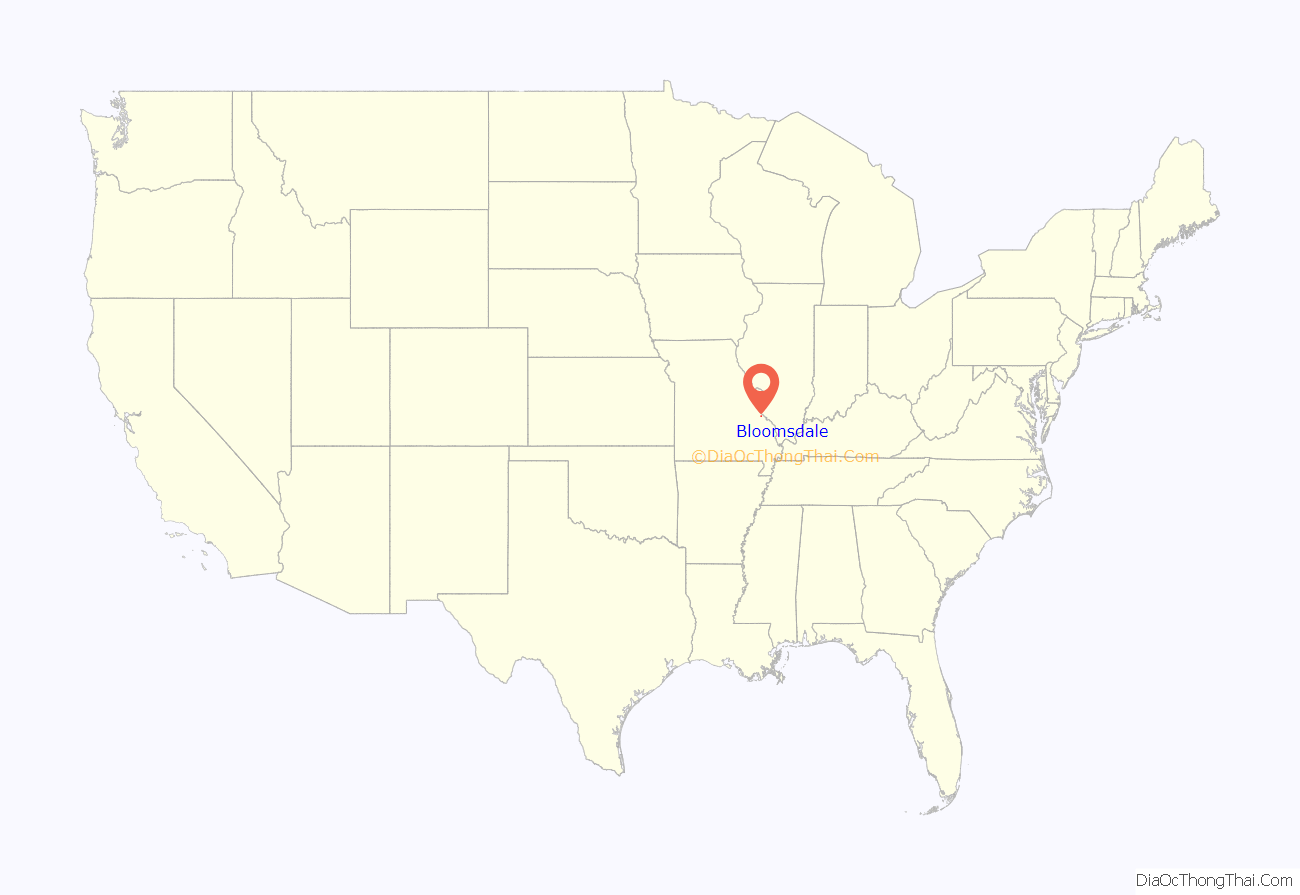
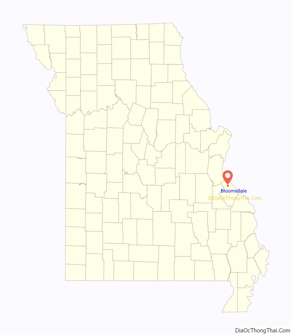
Bloomsdale location map. Where is Bloomsdale city?
History
Bloomsdale was known as early as 1839 as “La Fourche à Duclos”, meaning “the fork of Duclos” and named for the creek by the same name. Its parish priest, a Father Blume, wished his parishioners to all reside on one side of the stream, and so bought land for a settlement on what is now called Establishment Creek moved to the present site of Bloomsdale. One account has it that “Blumesdale” was mailed to Washington, D.C., as the name of the town’s post office. But the name was illegible, so the story goes, so Washington called the office Bloomsdale. More likely, Washington anglicized the German name Blume (“flower”) to Bloom. Either way, the name honors Father Blume.
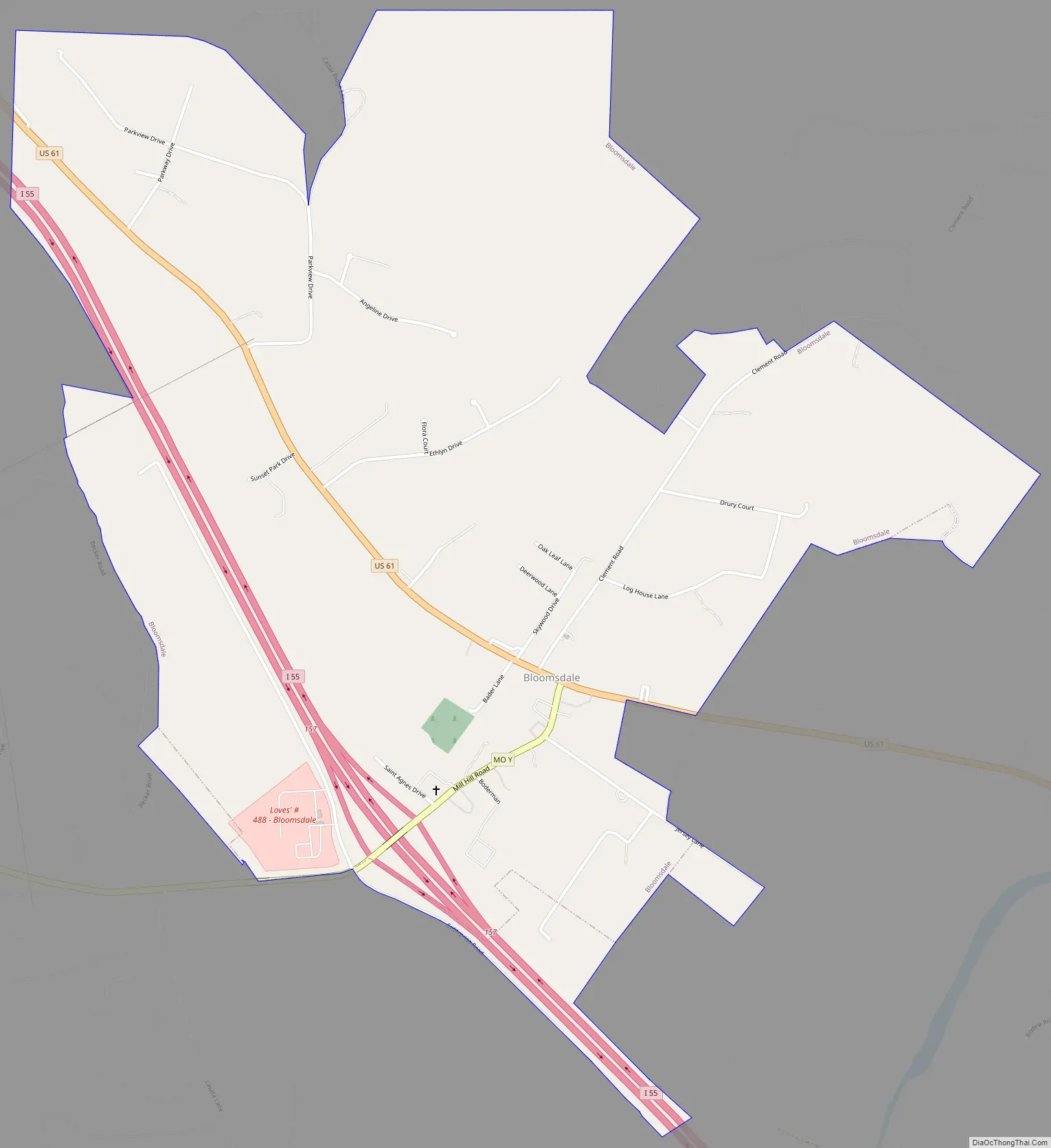
Bloomsdale Road Map
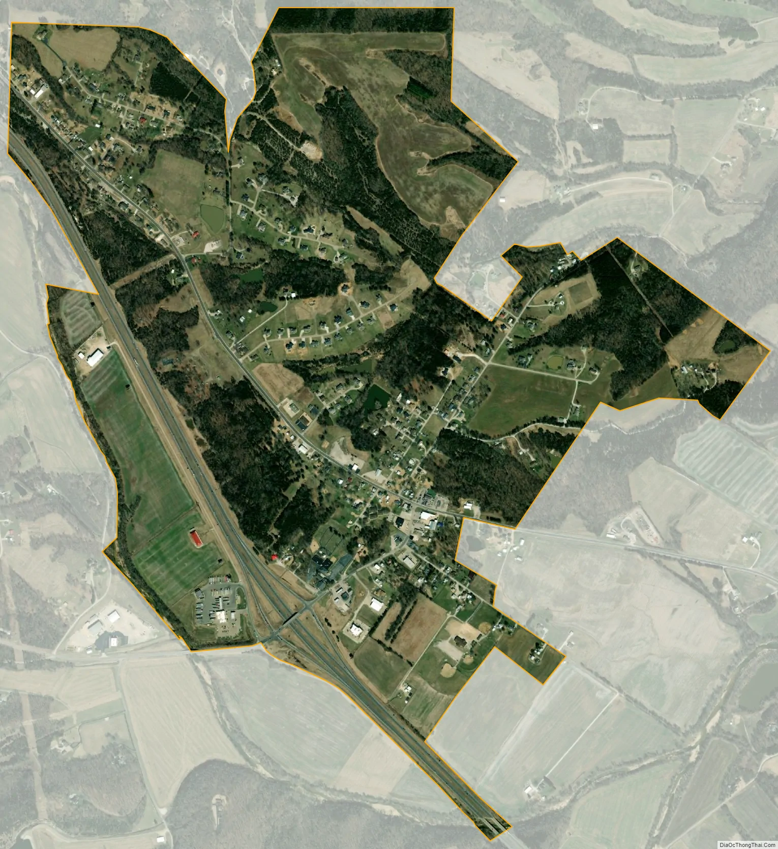
Bloomsdale city Satellite Map
Geography
Bloomsdale is located in the eastern part of Jackson Township, near Establishment Creek.
According to the United States Census Bureau, the city has a total area of 1.64 square miles (4.25 km), of which 1.63 square miles (4.22 km) is land and 0.01 square miles (0.03 km) is water.
See also
Map of Missouri State and its subdivision:- Adair
- Andrew
- Atchison
- Audrain
- Barry
- Barton
- Bates
- Benton
- Bollinger
- Boone
- Buchanan
- Butler
- Caldwell
- Callaway
- Camden
- Cape Girardeau
- Carroll
- Carter
- Cass
- Cedar
- Chariton
- Christian
- Clark
- Clay
- Clinton
- Cole
- Cooper
- Crawford
- Dade
- Dallas
- Daviess
- De Kalb
- Dent
- Douglas
- Dunklin
- Franklin
- Gasconade
- Gentry
- Greene
- Grundy
- Harrison
- Henry
- Hickory
- Holt
- Howard
- Howell
- Iron
- Jackson
- Jasper
- Jefferson
- Johnson
- Knox
- Laclede
- Lafayette
- Lawrence
- Lewis
- Lincoln
- Linn
- Livingston
- Macon
- Madison
- Maries
- Marion
- McDonald
- Mercer
- Miller
- Mississippi
- Moniteau
- Monroe
- Montgomery
- Morgan
- New Madrid
- Newton
- Nodaway
- Oregon
- Osage
- Ozark
- Pemiscot
- Perry
- Pettis
- Phelps
- Pike
- Platte
- Polk
- Pulaski
- Putnam
- Ralls
- Randolph
- Ray
- Reynolds
- Ripley
- Saint Charles
- Saint Clair
- Saint Francois
- Saint Louis
- Sainte Genevieve
- Saline
- Schuyler
- Scotland
- Scott
- Shannon
- Shelby
- Stoddard
- Stone
- Sullivan
- Taney
- Texas
- Vernon
- Warren
- Washington
- Wayne
- Webster
- Worth
- Wright
- Alabama
- Alaska
- Arizona
- Arkansas
- California
- Colorado
- Connecticut
- Delaware
- District of Columbia
- Florida
- Georgia
- Hawaii
- Idaho
- Illinois
- Indiana
- Iowa
- Kansas
- Kentucky
- Louisiana
- Maine
- Maryland
- Massachusetts
- Michigan
- Minnesota
- Mississippi
- Missouri
- Montana
- Nebraska
- Nevada
- New Hampshire
- New Jersey
- New Mexico
- New York
- North Carolina
- North Dakota
- Ohio
- Oklahoma
- Oregon
- Pennsylvania
- Rhode Island
- South Carolina
- South Dakota
- Tennessee
- Texas
- Utah
- Vermont
- Virginia
- Washington
- West Virginia
- Wisconsin
- Wyoming