Bucklin is a city in southeast Linn County, Missouri, United States. The population was 413 at the 2020 census.
| Name: | Bucklin city |
|---|---|
| LSAD Code: | 25 |
| LSAD Description: | city (suffix) |
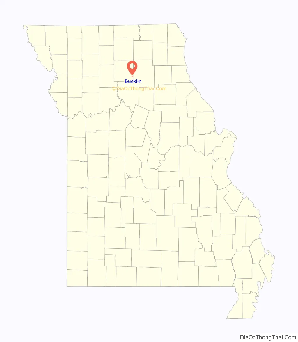
| State: | Missouri |
| County: | Linn County |
| Elevation: | 906 ft (276 m) |
| Total Area: | 1.18 sq mi (3.06 km²) |
| Land Area: | 1.18 sq mi (3.06 km²) |
| Water Area: | 0.00 sq mi (0.00 km²) |
| Total Population: | 413 |
| Population Density: | 349.41/sq mi (134.94/km²) |
| ZIP code: | 64631 |
| Area code: | 660 |
| FIPS code: | 2909388 |
| GNISfeature ID: | 2393448 |
Online Interactive Map
Click on ![]() to view map in "full screen" mode.
to view map in "full screen" mode.
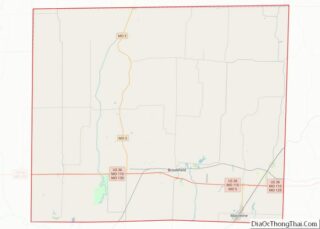
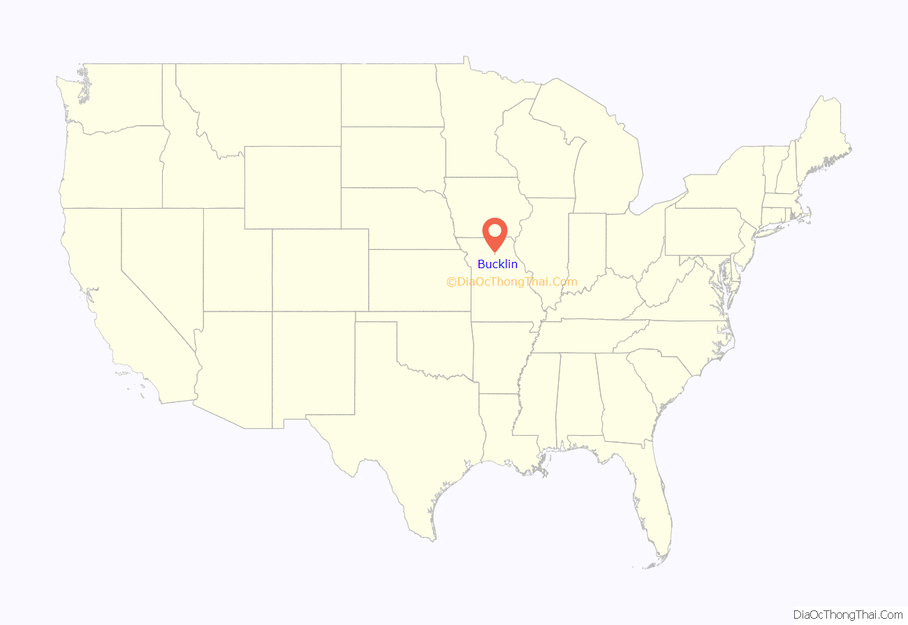
Bucklin location map. Where is Bucklin city?
History
Bucklin was laid out in 1854, and named after James H. Bucklin, a railroad official of the Hannibal and St. Joseph Railroad. A post office called Bucklin has been in operation since 1860. Bucklin was the 1st location of the (1st) Missouri Farmers Association (now called Midwest Farmers Association, more known by the initials of MFA). The building still stands here today abandoned.
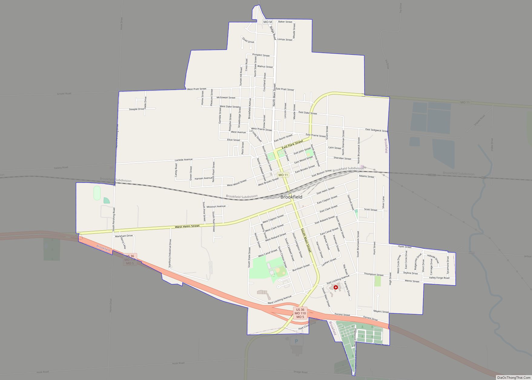
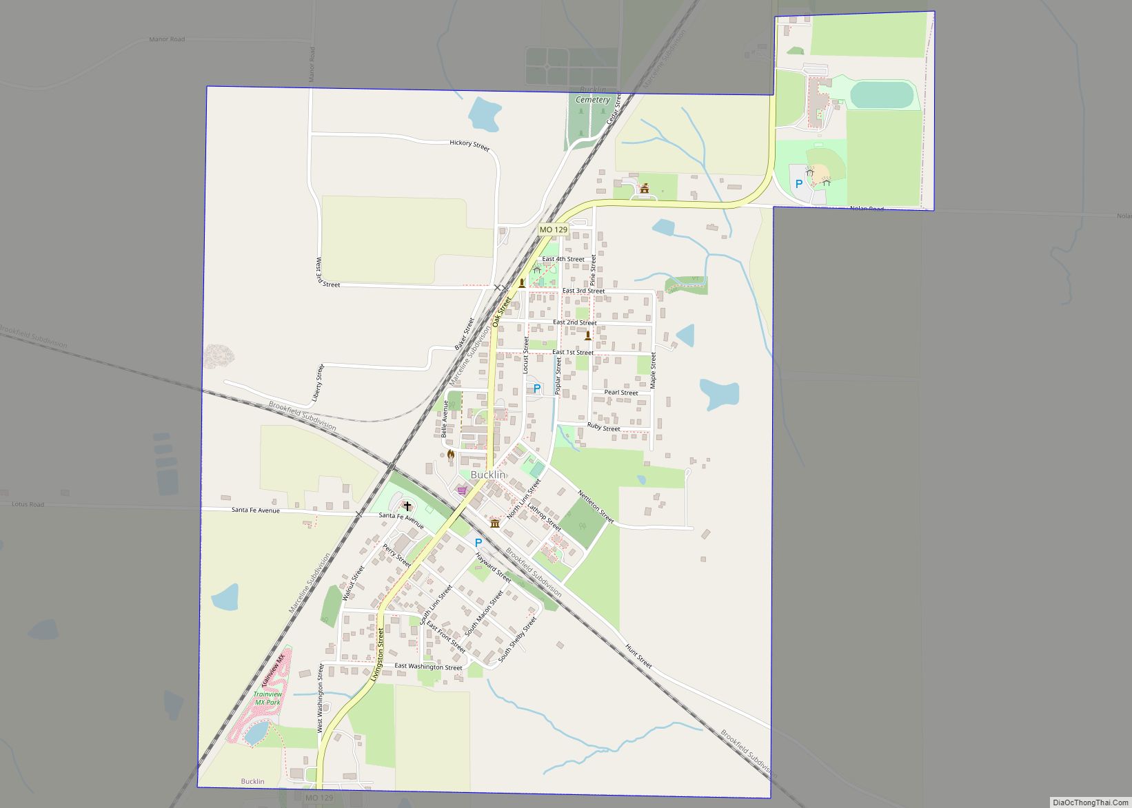
Bucklin Road Map
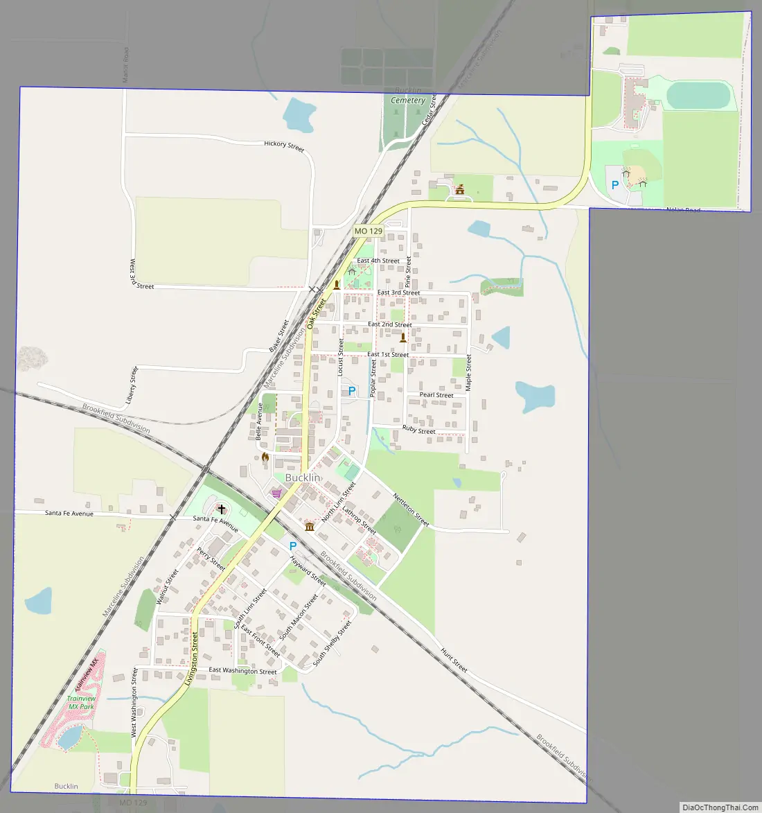
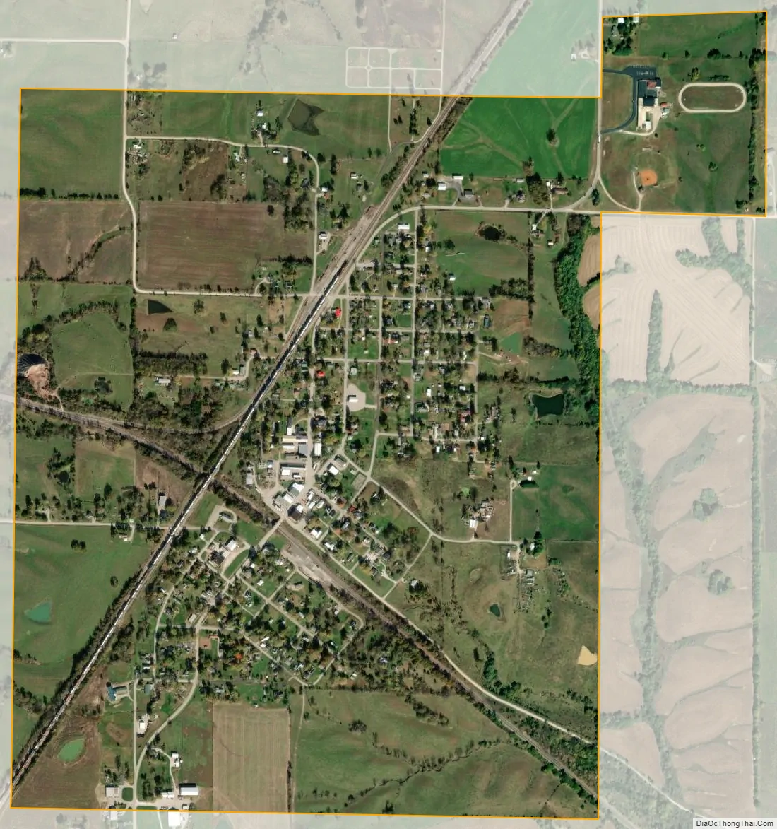
Bucklin city Satellite Map
Geography
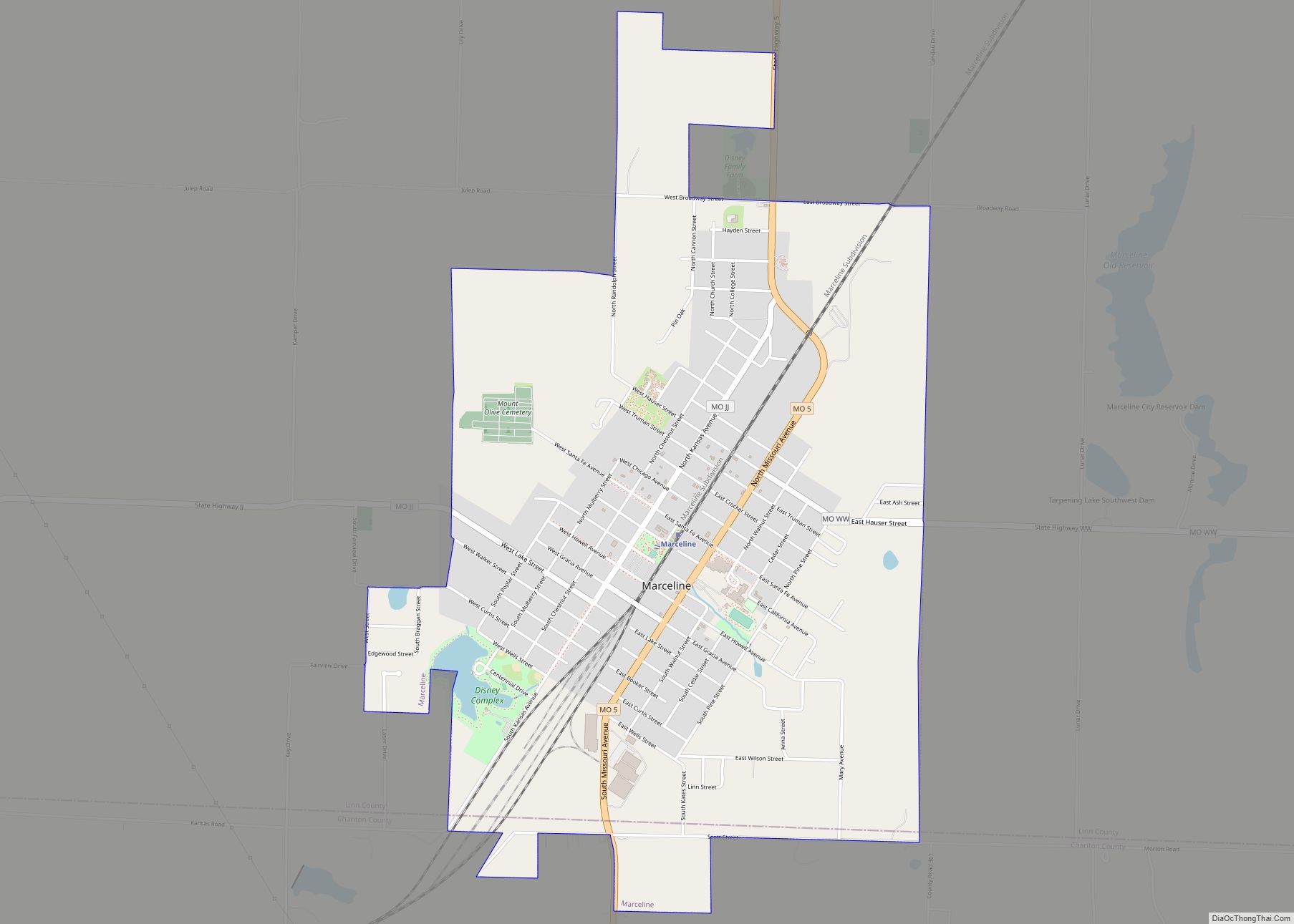
Bucklin is located on Missouri Route 129 approximately 5.5 miles northeast of Marceline. The Chicago, Burlington and Quincy Railroad and the Atchison Topeka and Santa Fe Railroad both pass through the community.
According to the United States Census Bureau, the city has a total area of 1.18 square miles (3.06 km), all land.
See also
Map of Missouri State and its subdivision:- Adair
- Andrew
- Atchison
- Audrain
- Barry
- Barton
- Bates
- Benton
- Bollinger
- Boone
- Buchanan
- Butler
- Caldwell
- Callaway
- Camden
- Cape Girardeau
- Carroll
- Carter
- Cass
- Cedar
- Chariton
- Christian
- Clark
- Clay
- Clinton
- Cole
- Cooper
- Crawford
- Dade
- Dallas
- Daviess
- De Kalb
- Dent
- Douglas
- Dunklin
- Franklin
- Gasconade
- Gentry
- Greene
- Grundy
- Harrison
- Henry
- Hickory
- Holt
- Howard
- Howell
- Iron
- Jackson
- Jasper
- Jefferson
- Johnson
- Knox
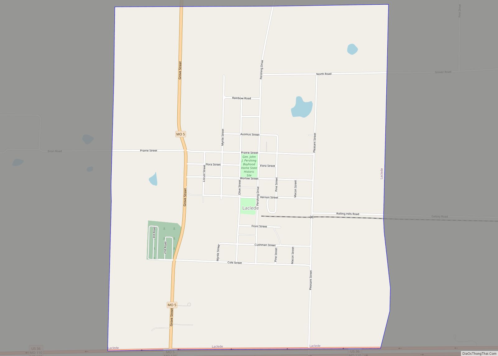
- Laclede
- Lafayette
- Lawrence
- Lewis
- Lincoln
- Linn
- Livingston
- Macon
- Madison
- Maries
- Marion
- McDonald
- Mercer
- Miller
- Mississippi
- Moniteau
- Monroe
- Montgomery
- Morgan
- New Madrid
- Newton
- Nodaway
- Oregon
- Osage
- Ozark
- Pemiscot
- Perry
- Pettis
- Phelps
- Pike
- Platte
- Polk
- Pulaski
- Putnam
- Ralls
- Randolph
- Ray
- Reynolds
- Ripley
- Saint Charles
- Saint Clair
- Saint Francois
- Saint Louis
- Sainte Genevieve
- Saline
- Schuyler
- Scotland
- Scott
- Shannon
- Shelby
- Stoddard
- Stone
- Sullivan
- Taney
- Texas
- Vernon
- Warren
- Washington
- Wayne
- Webster
- Worth
- Wright
- Alabama
- Alaska
- Arizona
- Arkansas
- California
- Colorado
- Connecticut
- Delaware
- District of Columbia
- Florida
- Georgia
- Hawaii
- Idaho
- Illinois
- Indiana
- Iowa
- Kansas
- Kentucky
- Louisiana
- Maine
- Maryland
- Massachusetts
- Michigan
- Minnesota
- Mississippi
- Missouri
- Montana
- Nebraska
- Nevada
- New Hampshire
- New Jersey
- New Mexico
- New York
- North Carolina
- North Dakota
- Ohio
- Oklahoma
- Oregon
- Pennsylvania
- Rhode Island
- South Carolina
- South Dakota
- Tennessee
- Texas
- Utah
- Vermont
- Virginia
- Washington
- West Virginia
- Wisconsin
- Wyoming