Crestwood is a city in south St. Louis County, Missouri, United States, part of the Metropolitan Statistical Area known as Greater St. Louis. The population was 11,912 at the 2010 census.
In 2011, Bloomberg Businessweek magazine named Crestwood the “Best Place to Raise Kids in Missouri,” lauding the community for top-tier schools and excellent municipal services.
| Name: | Crestwood city |
|---|---|
| LSAD Code: | 25 |
| LSAD Description: | city (suffix) |
| State: | Missouri |
| County: | St. Louis County |
| Elevation: | 614 ft (187 m) |
| Total Area: | 3.59 sq mi (9.29 km²) |
| Land Area: | 3.59 sq mi (9.29 km²) |
| Water Area: | 0.00 sq mi (0.00 km²) |
| Total Population: | 12,404 |
| Population Density: | 3,459.01/sq mi (1,335.55/km²) |
| ZIP code: | 63126 (St. Louis (Sappington)) |
| FIPS code: | 2917218 |
| GNISfeature ID: | 2393672 |
| Website: | http://www.cityofcrestwood.org |
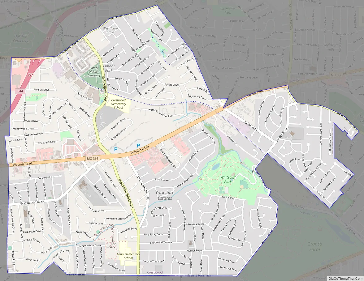
Online Interactive Map
Click on ![]() to view map in "full screen" mode.
to view map in "full screen" mode.
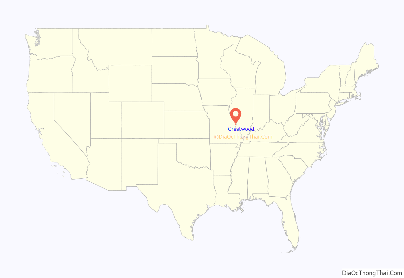
Crestwood location map. Where is Crestwood city?
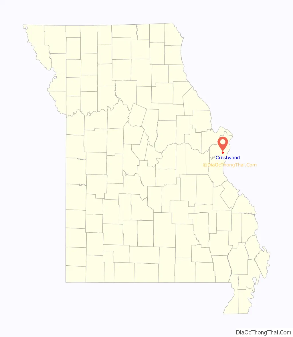
Crestwood Road Map
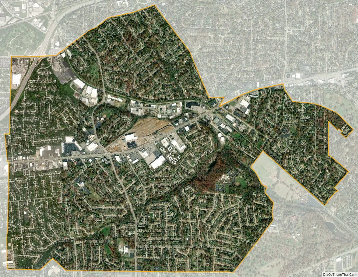
Crestwood city Satellite Map
Geography
According to the United States Census Bureau, the city has a total area of 3.60 square miles (9.32 km), all of it land.
Crestwood is home to several public parks, including Crestwood Park, featuring baseball and soccer fields, a playground, and tennis courts, and Whitecliff Park, featuring the Crestwood Community Center and the Crestwood Aquatic Center, a public water park. Adjacent to Whitecliff Park in the small city of Grantwood Village is the animal reserve owned by Anheuser-Busch called Grant’s Farm, which is free and open to the public during the summer. Grant’s Farm, now home to free-roaming buffalo, zebras, and deer among other animals, is located on property formerly owned by president Ulysses S. Grant in the period between the Mexican War and the Civil War.
Crestwood is the burial place of Sgt. John Sappington. He was a Revolutionary War soldier who was a personal bodyguard to Gen. George Washington at Valley Forge. He was also one of the pioneers at Fort Boonesborough in Madison County, Kentucky. The Sappingtons were large land owners in the area, and Mark and Thomas Sappington’s homes still stand in the vicinity. The Sappington Cemetery is maintained by the City of Crestwood, and several Sappington descendants still pass through to maintain the family graves. Crestwood is also the final resting place of Revered Moses Dickson buried in Father Dickson Cemetery and is one of the historic stops along Grant’s Trail a biking and walking trail in St. Louis County, Missouri
See also
Map of Missouri State and its subdivision:- Adair
- Andrew
- Atchison
- Audrain
- Barry
- Barton
- Bates
- Benton
- Bollinger
- Boone
- Buchanan
- Butler
- Caldwell
- Callaway
- Camden
- Cape Girardeau
- Carroll
- Carter
- Cass
- Cedar
- Chariton
- Christian
- Clark
- Clay
- Clinton
- Cole
- Cooper
- Crawford
- Dade
- Dallas
- Daviess
- De Kalb
- Dent
- Douglas
- Dunklin
- Franklin
- Gasconade
- Gentry
- Greene
- Grundy
- Harrison
- Henry
- Hickory
- Holt
- Howard
- Howell
- Iron
- Jackson
- Jasper
- Jefferson
- Johnson
- Knox
- Laclede
- Lafayette
- Lawrence
- Lewis
- Lincoln
- Linn
- Livingston
- Macon
- Madison
- Maries
- Marion
- McDonald
- Mercer
- Miller
- Mississippi
- Moniteau
- Monroe
- Montgomery
- Morgan
- New Madrid
- Newton
- Nodaway
- Oregon
- Osage
- Ozark
- Pemiscot
- Perry
- Pettis
- Phelps
- Pike
- Platte
- Polk
- Pulaski
- Putnam
- Ralls
- Randolph
- Ray
- Reynolds
- Ripley
- Saint Charles
- Saint Clair
- Saint Francois
- Saint Louis
- Sainte Genevieve
- Saline
- Schuyler
- Scotland
- Scott
- Shannon
- Shelby
- Stoddard
- Stone
- Sullivan
- Taney
- Texas
- Vernon
- Warren
- Washington
- Wayne
- Webster
- Worth
- Wright
- Alabama
- Alaska
- Arizona
- Arkansas
- California
- Colorado
- Connecticut
- Delaware
- District of Columbia
- Florida
- Georgia
- Hawaii
- Idaho
- Illinois
- Indiana
- Iowa
- Kansas
- Kentucky
- Louisiana
- Maine
- Maryland
- Massachusetts
- Michigan
- Minnesota
- Mississippi
- Missouri
- Montana
- Nebraska
- Nevada
- New Hampshire
- New Jersey
- New Mexico
- New York
- North Carolina
- North Dakota
- Ohio
- Oklahoma
- Oregon
- Pennsylvania
- Rhode Island
- South Carolina
- South Dakota
- Tennessee
- Texas
- Utah
- Vermont
- Virginia
- Washington
- West Virginia
- Wisconsin
- Wyoming


