Des Peres (English: /dʌˈpɛər/) is a city in west St. Louis County, Missouri, United States. The population was 8,373 at the 2010 census.
| Name: | Des Peres city |
|---|---|
| LSAD Code: | 25 |
| LSAD Description: | city (suffix) |
| State: | Missouri |
| County: | St. Louis County |
| Elevation: | 617 ft (188 m) |
| Total Area: | 4.32 sq mi (11.20 km²) |
| Land Area: | 4.32 sq mi (11.19 km²) |
| Water Area: | 0.01 sq mi (0.01 km²) |
| Total Population: | 9,193 |
| Population Density: | 2,128.50/sq mi (821.73/km²) |
| FIPS code: | 2919270 |
| GNISfeature ID: | 2394523 |
| Website: | www.desperesmo.org |
Online Interactive Map
Click on ![]() to view map in "full screen" mode.
to view map in "full screen" mode.
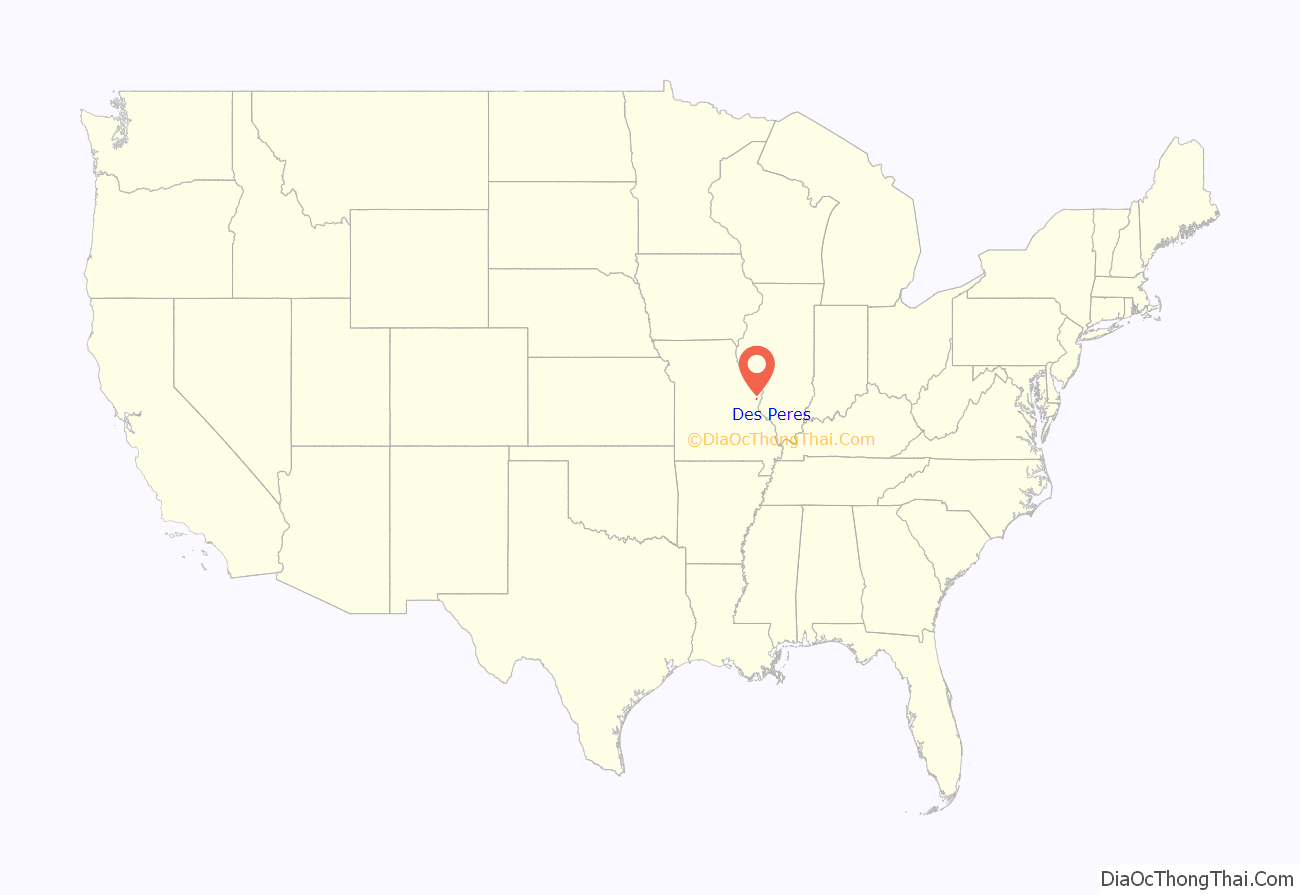
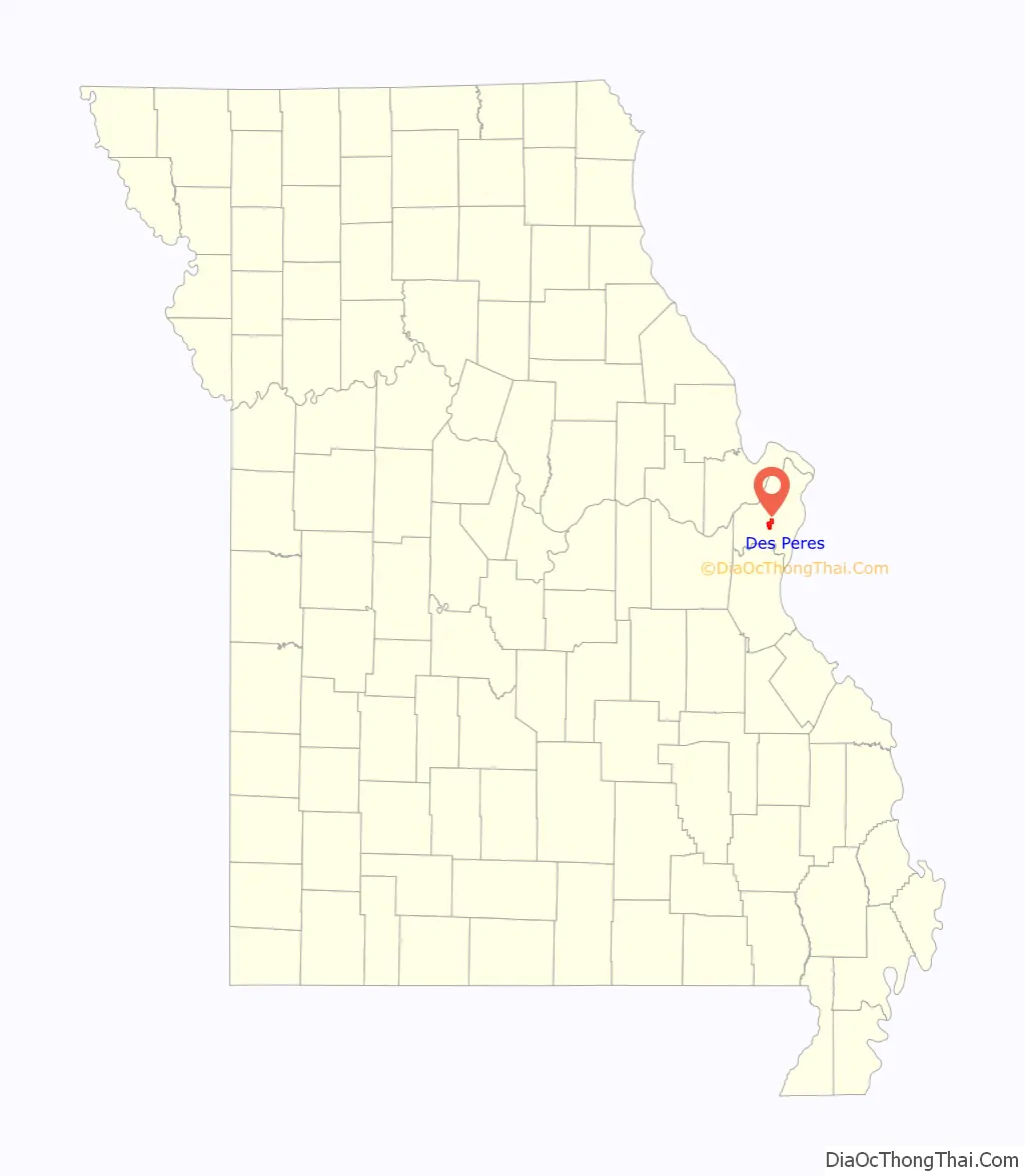
Des Peres location map. Where is Des Peres city?
History
The first inhabitants of Des Peres were the Cahokia, the Kaskaskia, the Mitchigamea, the Moingona, and the Otoe peoples. As well as the Missouria, and Osage, and Tamaroa peoples.
The Osage Nation lived in the area around Des Peres. The Osage were members of the Dhegiha Sioux group of tribes. This group also included the Ponca tribe, Quapaw tribe, Kansas tribe, and Omaha tribe.
Des Peres is thought to be the oldest white settlement in Missouri, founded about December 3, 1700 by a group of Kaskaskia Native Americans and French who had left the camp of the confederated Illinois tribes on the Illinois River. The settlement was called Des Peres, French for “The Fathers,” and meant to honor the French Jesuit missionaries who settled there. This settlement was at the mouth of River des Peres and it is thought the first settlers found this region unhealthful, so moved across the Mississippi River to a prairie about 25 miles from the mouth of the Kaskaskia River.
People of European descent began settling in Des Peres in the 1800s. By 1850, there were 75,000 people living in St. Louis. Des Peres was mainly settled by German immigrants and southerners from Virginia and the Carolinas who were drawn to the area by the farmland sold off by the United States government in 80-to-160-acre (32 to 65 ha) tracts.
Des Peres got its name from the River des Peres whose tributaries, Deer Creek and Two Mile Creek, ran through the town. The name Des Pères is a French term which means “of the Fathers”.
In 1834 a small church, the Des Peres Presbyterian Church, 38°37′22″N 90°25′12″W (Old Des Peres Church;Old Stone Church) is a historic church on Geyer Road in Frontenac, Missouri.
It was started in 1834 and was added to the National Register in 1978.
Mark Becker has been mayor of the city since 2018.
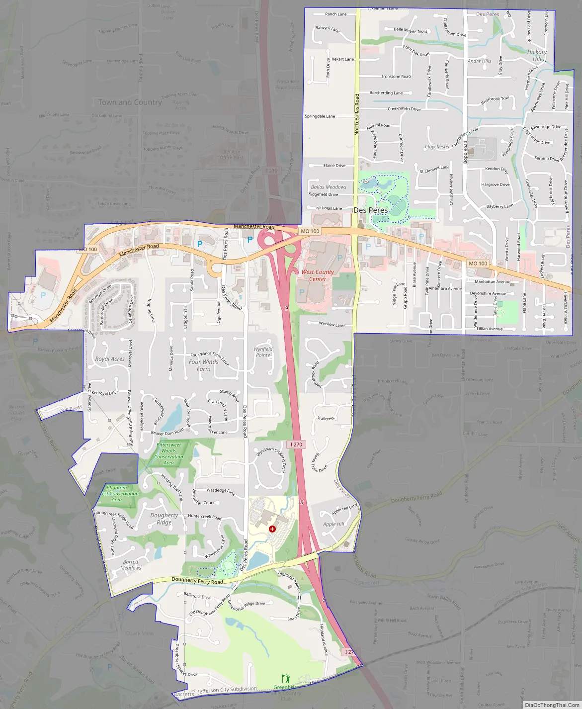
Des Peres Road Map
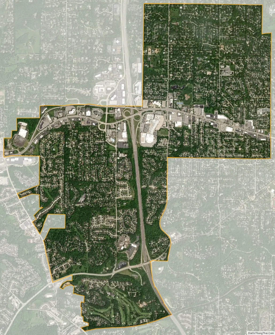
Des Peres city Satellite Map
Geography
According to the United States Census Bureau, the city has a total area of 4.32 square miles (11.19 km), all land.
See also
Map of Missouri State and its subdivision:- Adair
- Andrew
- Atchison
- Audrain
- Barry
- Barton
- Bates
- Benton
- Bollinger
- Boone
- Buchanan
- Butler
- Caldwell
- Callaway
- Camden
- Cape Girardeau
- Carroll
- Carter
- Cass
- Cedar
- Chariton
- Christian
- Clark
- Clay
- Clinton
- Cole
- Cooper
- Crawford
- Dade
- Dallas
- Daviess
- De Kalb
- Dent
- Douglas
- Dunklin
- Franklin
- Gasconade
- Gentry
- Greene
- Grundy
- Harrison
- Henry
- Hickory
- Holt
- Howard
- Howell
- Iron
- Jackson
- Jasper
- Jefferson
- Johnson
- Knox
- Laclede
- Lafayette
- Lawrence
- Lewis
- Lincoln
- Linn
- Livingston
- Macon
- Madison
- Maries
- Marion
- McDonald
- Mercer
- Miller
- Mississippi
- Moniteau
- Monroe
- Montgomery
- Morgan
- New Madrid
- Newton
- Nodaway
- Oregon
- Osage
- Ozark
- Pemiscot
- Perry
- Pettis
- Phelps
- Pike
- Platte
- Polk
- Pulaski
- Putnam
- Ralls
- Randolph
- Ray
- Reynolds
- Ripley
- Saint Charles
- Saint Clair
- Saint Francois
- Saint Louis
- Sainte Genevieve
- Saline
- Schuyler
- Scotland
- Scott
- Shannon
- Shelby
- Stoddard
- Stone
- Sullivan
- Taney
- Texas
- Vernon
- Warren
- Washington
- Wayne
- Webster
- Worth
- Wright
- Alabama
- Alaska
- Arizona
- Arkansas
- California
- Colorado
- Connecticut
- Delaware
- District of Columbia
- Florida
- Georgia
- Hawaii
- Idaho
- Illinois
- Indiana
- Iowa
- Kansas
- Kentucky
- Louisiana
- Maine
- Maryland
- Massachusetts
- Michigan
- Minnesota
- Mississippi
- Missouri
- Montana
- Nebraska
- Nevada
- New Hampshire
- New Jersey
- New Mexico
- New York
- North Carolina
- North Dakota
- Ohio
- Oklahoma
- Oregon
- Pennsylvania
- Rhode Island
- South Carolina
- South Dakota
- Tennessee
- Texas
- Utah
- Vermont
- Virginia
- Washington
- West Virginia
- Wisconsin
- Wyoming


