Drexel is a city in northwest Bates and southwest Cass counties in the U.S. state of Missouri. The population was 968 at the 2020 census.
| Name: | Drexel city |
|---|---|
| LSAD Code: | 25 |
| LSAD Description: | city (suffix) |
| State: | Missouri |
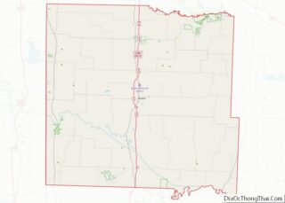
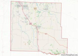
| County: | Bates County, Cass County |
| Elevation: | 1,007 ft (307 m) |
| Total Area: | 2.76 sq mi (7.15 km²) |
| Land Area: | 2.73 sq mi (7.06 km²) |
| Water Area: | 0.04 sq mi (0.09 km²) |
| Total Population: | 968 |
| Population Density: | 354.97/sq mi (137.07/km²) |
| ZIP code: | 64742 |
| Area code: | 816 |
| FIPS code: | 2920134 |
| GNISfeature ID: | 2394563 |
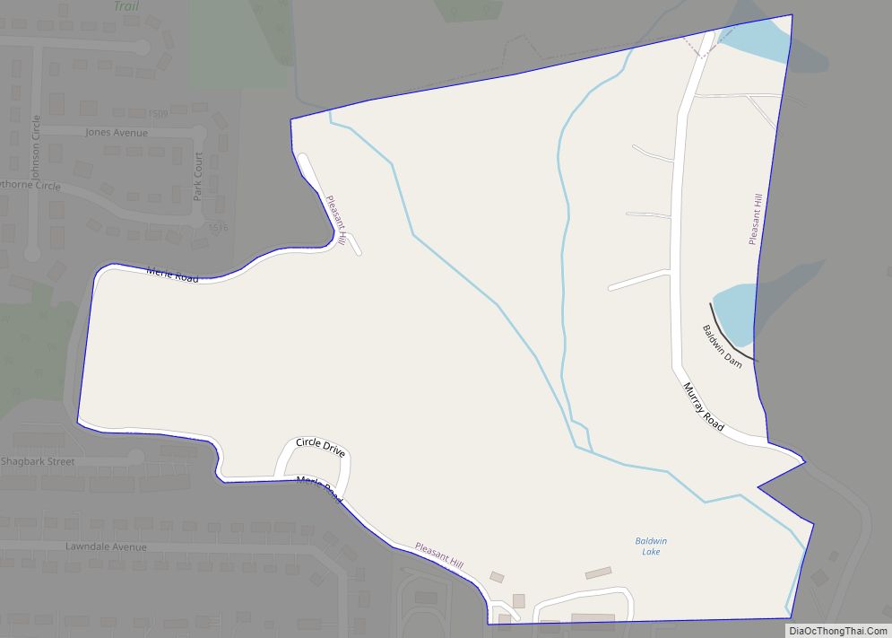
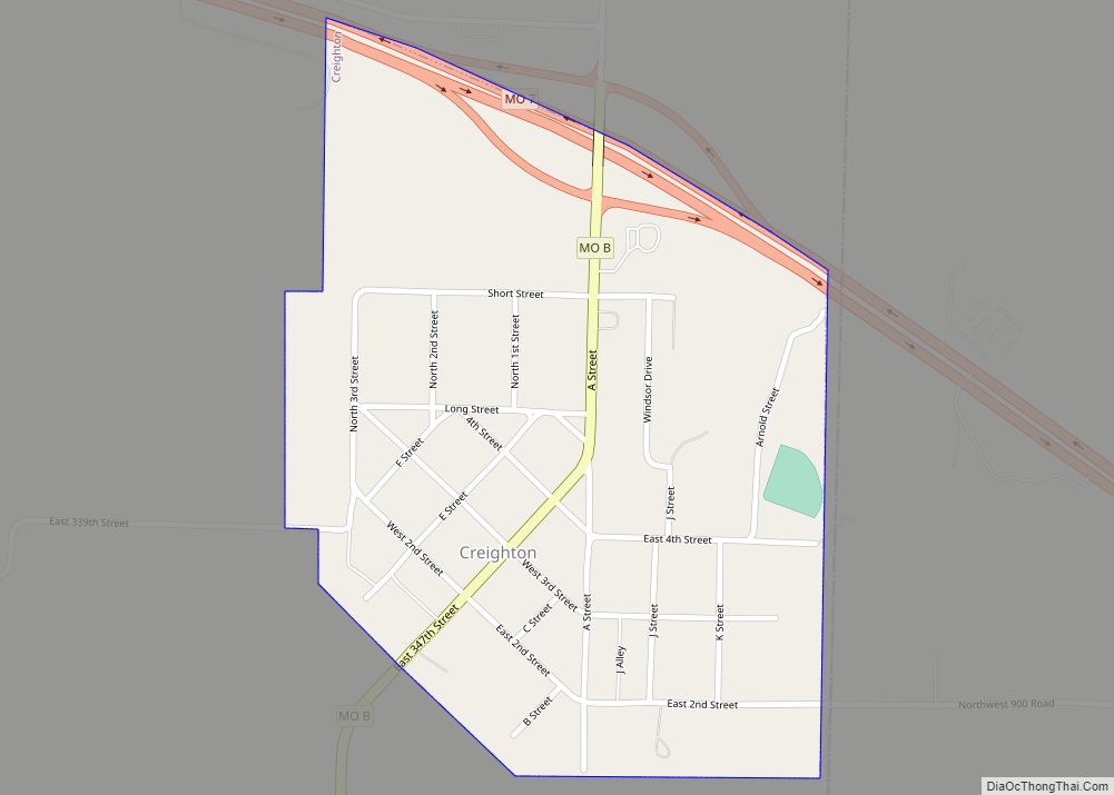
Online Interactive Map
Click on ![]() to view map in "full screen" mode.
to view map in "full screen" mode.
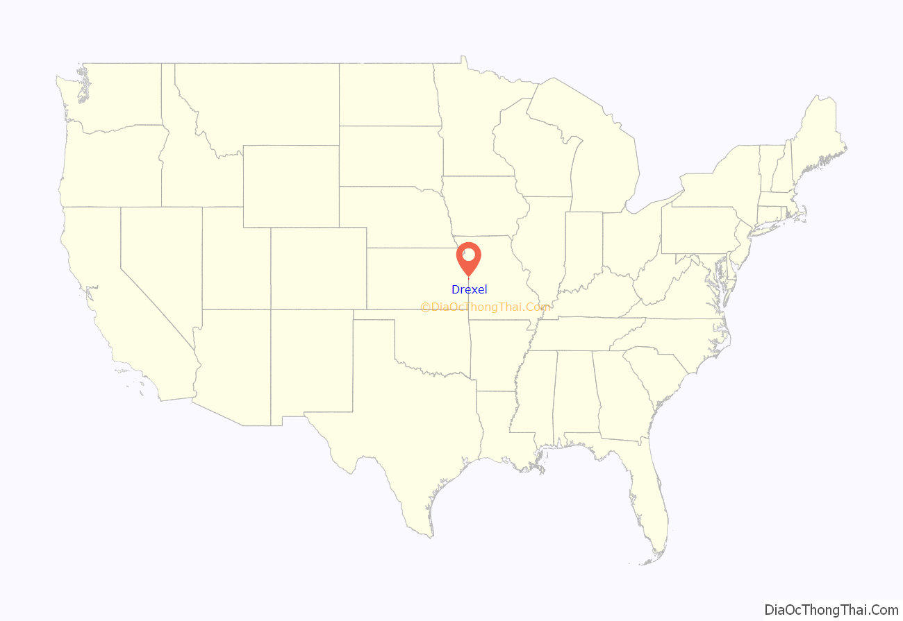
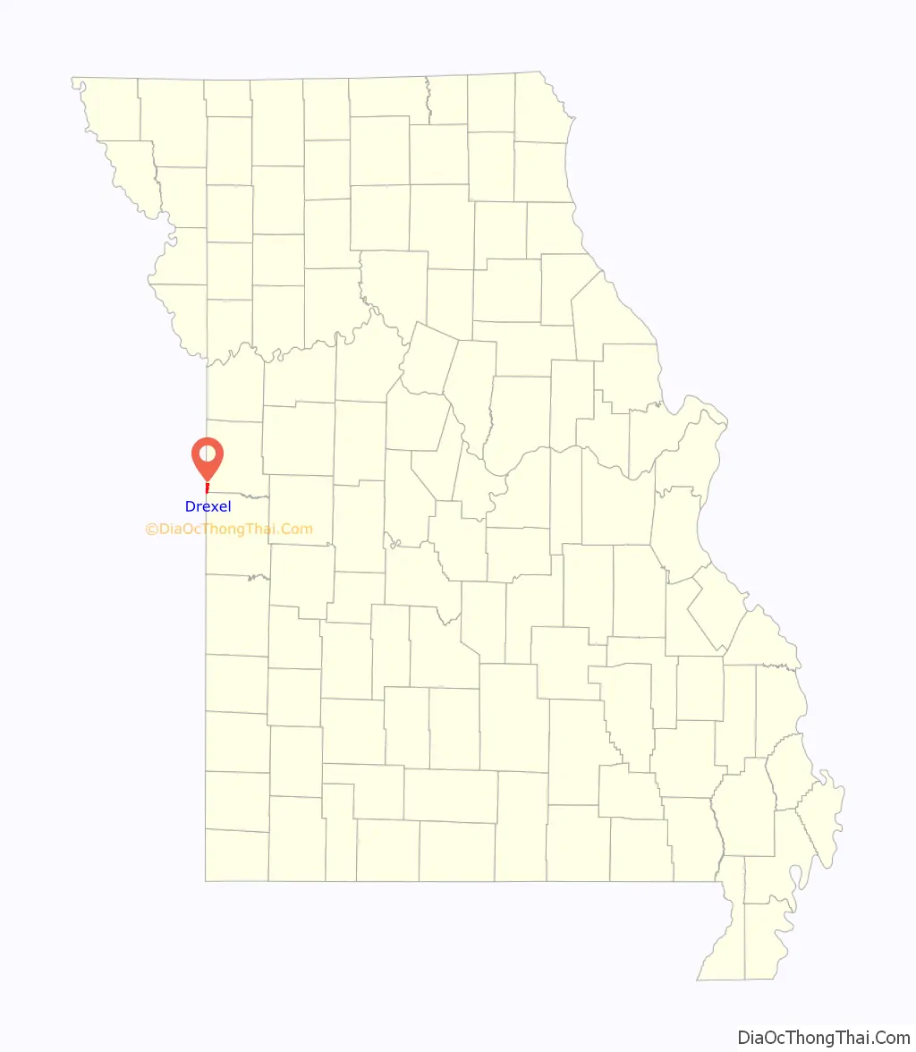
Drexel location map. Where is Drexel city?
History
Drexel was originally called Stuart City, and under the latter name was platted in 1890. The present name of Drexel was the name of a local store owner. A post office called Drexel has been in operation since 1891.
In June 2010, the Missouri Department of Natural Resources warned of a spike of 31.2 parts herbicide atrazine per billion in Drexel’s public water supply. The maximum contaminant level set by the U.S. Environmental Protection Agency for long term exposure is 3 parts per billion. The Missouri Department of Health and Senior Services recommended “neither using the water for drinking nor using it to cook, wash dishes or to make ice.”
Drexel Road Map
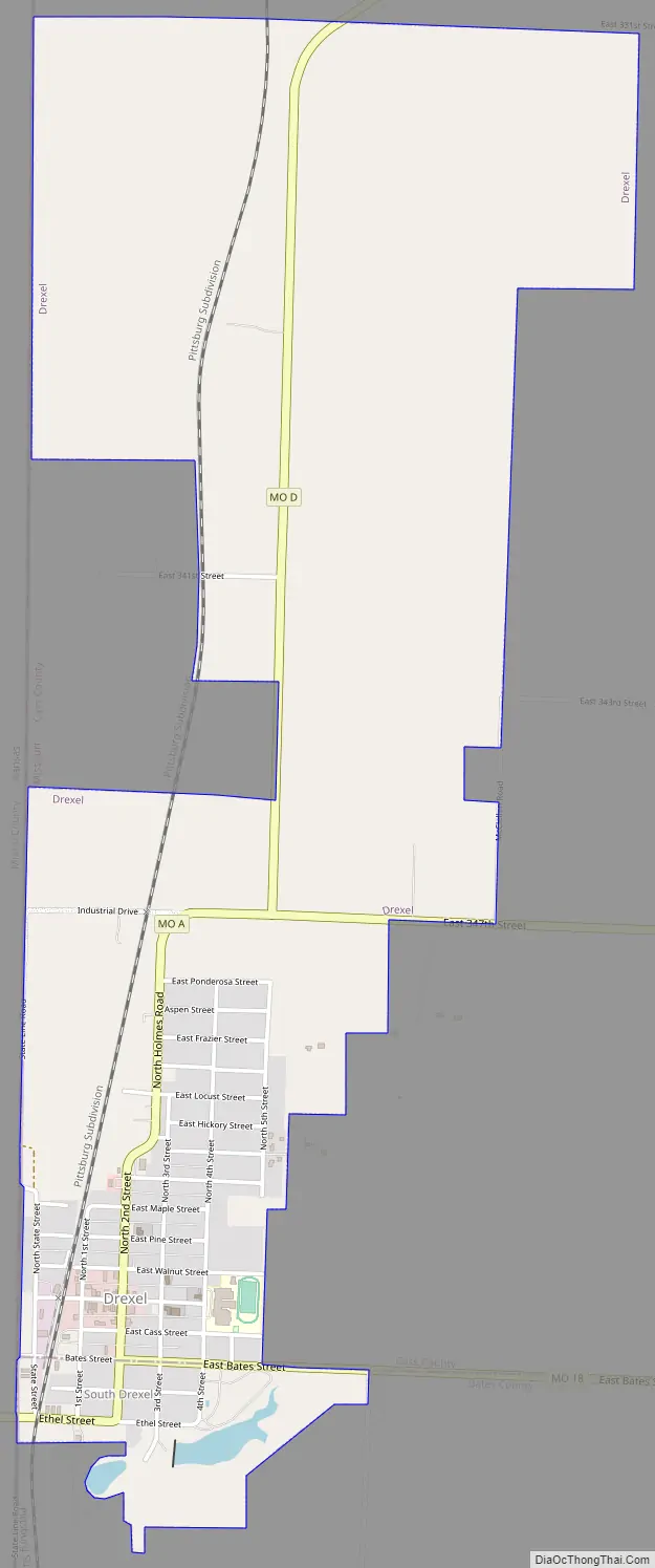
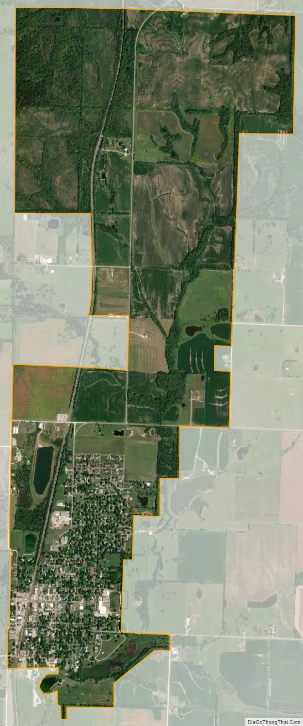
Drexel city Satellite Map
Geography
Drexel is located in the extreme southwest corner of Cass county and extends into the northwest corner of Bates County. The Missouri-Kansas state line lies adjacent to the west side of the community. Missouri Route A passes through the town as does the old Kansas City Southern Railway line. Archie is 13 miles to the east and Merwin lies five miles to the south.
According to the United States Census Bureau, the city has a total area of 2.77 square miles (7.17 km), of which 2.73 square miles (7.07 km) is land and 0.04 square miles (0.10 km) is water.
See also
Map of Missouri State and its subdivision:- Adair
- Andrew
- Atchison
- Audrain
- Barry
- Barton
- Bates
- Benton
- Bollinger
- Boone
- Buchanan
- Butler
- Caldwell
- Callaway
- Camden
- Cape Girardeau
- Carroll
- Carter
- Cass
- Cedar
- Chariton
- Christian
- Clark
- Clay
- Clinton
- Cole
- Cooper
- Crawford
- Dade
- Dallas
- Daviess
- De Kalb
- Dent
- Douglas
- Dunklin
- Franklin
- Gasconade
- Gentry
- Greene
- Grundy
- Harrison
- Henry
- Hickory
- Holt
- Howard
- Howell
- Iron
- Jackson
- Jasper
- Jefferson
- Johnson
- Knox
- Laclede
- Lafayette
- Lawrence
- Lewis
- Lincoln
- Linn
- Livingston
- Macon
- Madison
- Maries
- Marion
- McDonald
- Mercer
- Miller
- Mississippi
- Moniteau
- Monroe
- Montgomery
- Morgan
- New Madrid
- Newton
- Nodaway
- Oregon
- Osage
- Ozark
- Pemiscot
- Perry
- Pettis
- Phelps
- Pike
- Platte
- Polk
- Pulaski
- Putnam
- Ralls
- Randolph
- Ray
- Reynolds
- Ripley
- Saint Charles
- Saint Clair
- Saint Francois
- Saint Louis
- Sainte Genevieve
- Saline
- Schuyler
- Scotland
- Scott
- Shannon
- Shelby
- Stoddard
- Stone
- Sullivan
- Taney
- Texas
- Vernon
- Warren
- Washington
- Wayne
- Webster
- Worth
- Wright
- Alabama
- Alaska
- Arizona
- Arkansas
- California
- Colorado
- Connecticut
- Delaware
- District of Columbia
- Florida
- Georgia
- Hawaii
- Idaho
- Illinois
- Indiana
- Iowa
- Kansas
- Kentucky
- Louisiana
- Maine
- Maryland
- Massachusetts
- Michigan
- Minnesota
- Mississippi
- Missouri
- Montana
- Nebraska
- Nevada
- New Hampshire
- New Jersey
- New Mexico
- New York
- North Carolina
- North Dakota
- Ohio
- Oklahoma
- Oregon
- Pennsylvania
- Rhode Island
- South Carolina
- South Dakota
- Tennessee
- Texas
- Utah
- Vermont
- Virginia
- Washington
- West Virginia
- Wisconsin
- Wyoming