Edmundson is a city in St. Louis County, Missouri, United States. The population was estimated to be 860 at the time of the 2020 census.
| Name: | Edmundson city |
|---|---|
| LSAD Code: | 25 |
| LSAD Description: | city (suffix) |
| State: | Missouri |
| County: | St. Louis County |
| Elevation: | 591 ft (180 m) |
| Total Area: | 0.27 sq mi (0.71 km²) |
| Land Area: | 0.27 sq mi (0.71 km²) |
| Water Area: | 0.00 sq mi (0.00 km²) |
| Total Population: | 860 |
| Population Density: | 3,138.69/sq mi (1,210.61/km²) |
| FIPS code: | 2921376 |
| GNISfeature ID: | 2394624 |
| Website: | http://www.cityofedmundson.com/ |
Online Interactive Map
Click on ![]() to view map in "full screen" mode.
to view map in "full screen" mode.
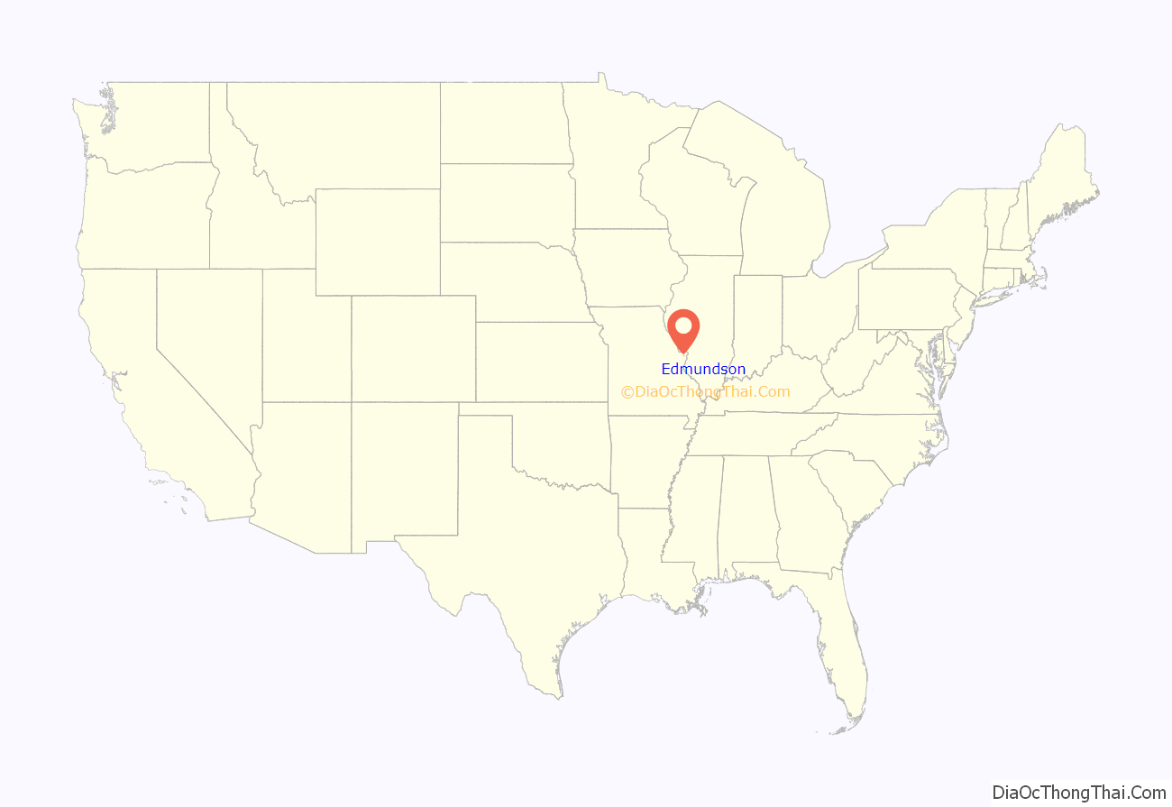
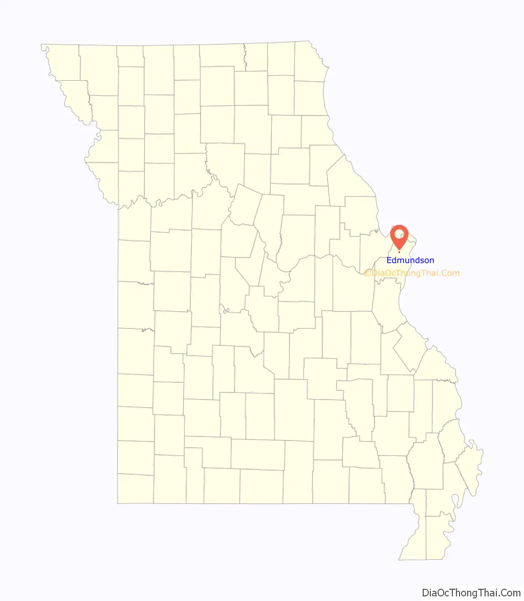
Edmundson location map. Where is Edmundson city?
History
In 1941, four days before the events of Pearl Harbor, a subdivision of 156 homes named “Edmundson Terrace” was offered for sale to the public. This was one of St. Louis County’s first subdivisions. On May 12, 1948, Edmundson Terrace was incorporated as the Village of Edmundson, a village under Missouri law. By 1965, Edmundson had tripled or quadrupled in area; it had a population of 2500, which included 415 single-family homes, a row of duplexes, and 315 units at the Bobbie Downs Apartments. On the ballot for the 1992 election, Edmundson residents chose to become a fourth class city, effective January 4, 1993.
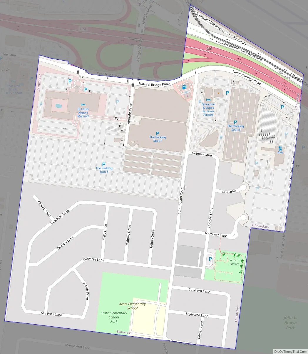
Edmundson Road Map
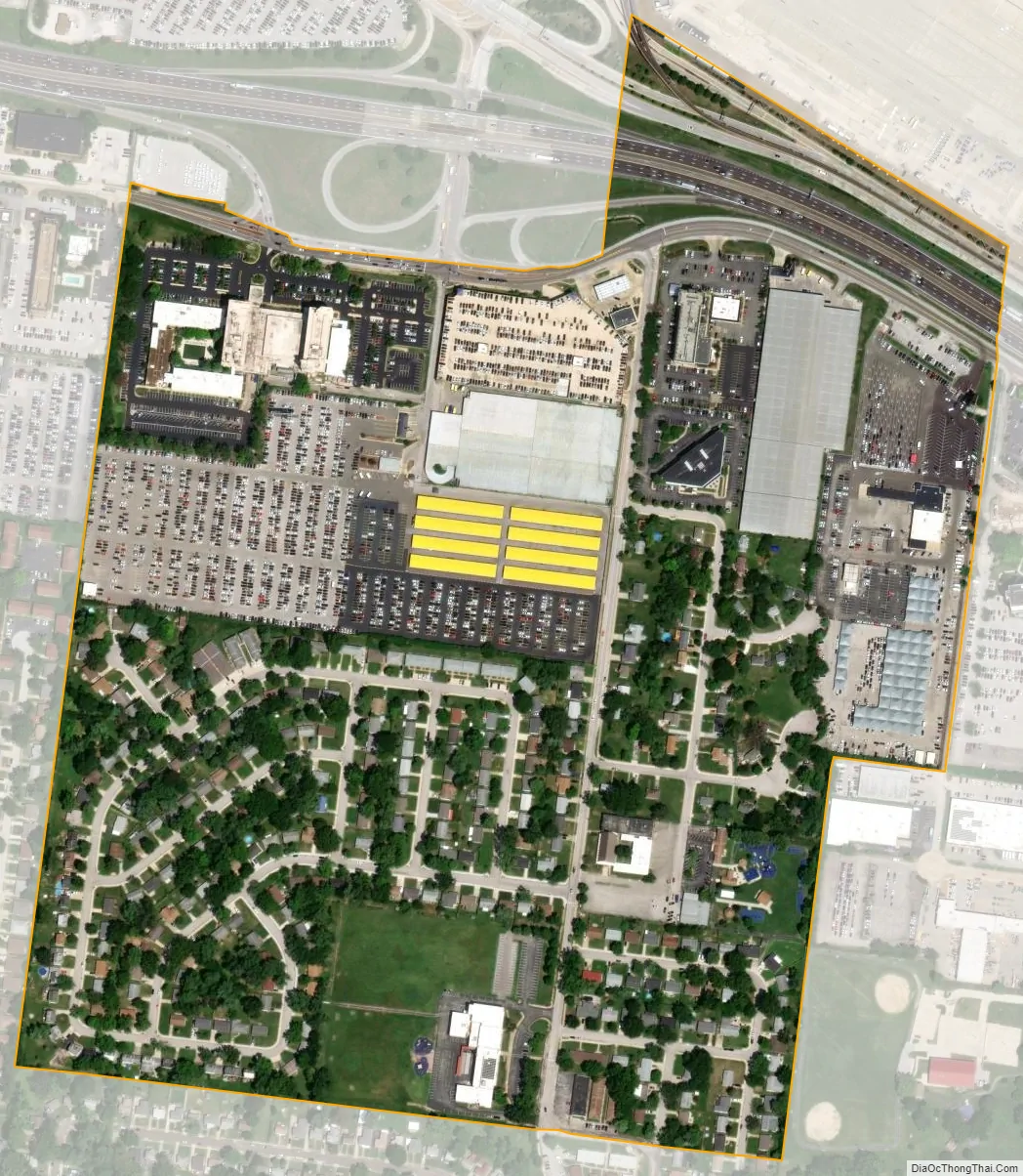
Edmundson city Satellite Map
Geography
According to the United States Census Bureau, the city has a total area of 0.26 square miles (0.67 km), all land.
See also
Map of Missouri State and its subdivision:- Adair
- Andrew
- Atchison
- Audrain
- Barry
- Barton
- Bates
- Benton
- Bollinger
- Boone
- Buchanan
- Butler
- Caldwell
- Callaway
- Camden
- Cape Girardeau
- Carroll
- Carter
- Cass
- Cedar
- Chariton
- Christian
- Clark
- Clay
- Clinton
- Cole
- Cooper
- Crawford
- Dade
- Dallas
- Daviess
- De Kalb
- Dent
- Douglas
- Dunklin
- Franklin
- Gasconade
- Gentry
- Greene
- Grundy
- Harrison
- Henry
- Hickory
- Holt
- Howard
- Howell
- Iron
- Jackson
- Jasper
- Jefferson
- Johnson
- Knox
- Laclede
- Lafayette
- Lawrence
- Lewis
- Lincoln
- Linn
- Livingston
- Macon
- Madison
- Maries
- Marion
- McDonald
- Mercer
- Miller
- Mississippi
- Moniteau
- Monroe
- Montgomery
- Morgan
- New Madrid
- Newton
- Nodaway
- Oregon
- Osage
- Ozark
- Pemiscot
- Perry
- Pettis
- Phelps
- Pike
- Platte
- Polk
- Pulaski
- Putnam
- Ralls
- Randolph
- Ray
- Reynolds
- Ripley
- Saint Charles
- Saint Clair
- Saint Francois
- Saint Louis
- Sainte Genevieve
- Saline
- Schuyler
- Scotland
- Scott
- Shannon
- Shelby
- Stoddard
- Stone
- Sullivan
- Taney
- Texas
- Vernon
- Warren
- Washington
- Wayne
- Webster
- Worth
- Wright
- Alabama
- Alaska
- Arizona
- Arkansas
- California
- Colorado
- Connecticut
- Delaware
- District of Columbia
- Florida
- Georgia
- Hawaii
- Idaho
- Illinois
- Indiana
- Iowa
- Kansas
- Kentucky
- Louisiana
- Maine
- Maryland
- Massachusetts
- Michigan
- Minnesota
- Mississippi
- Missouri
- Montana
- Nebraska
- Nevada
- New Hampshire
- New Jersey
- New Mexico
- New York
- North Carolina
- North Dakota
- Ohio
- Oklahoma
- Oregon
- Pennsylvania
- Rhode Island
- South Carolina
- South Dakota
- Tennessee
- Texas
- Utah
- Vermont
- Virginia
- Washington
- West Virginia
- Wisconsin
- Wyoming


