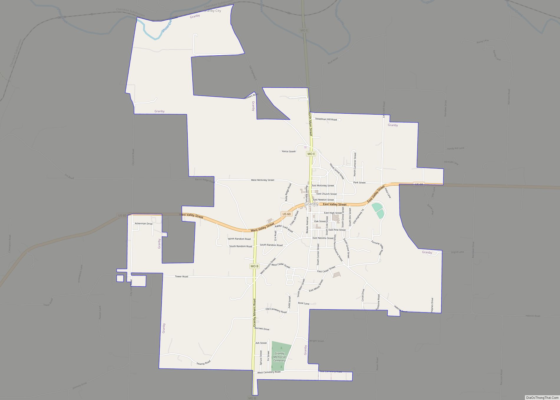
Granby is a city in Newton County, Missouri, United States. The population was 2,134 at the 2010 census. It is part of the Joplin, Missouri Metropolitan Statistical Area.
| Name: | Granby city |
|---|---|
| LSAD Code: | 25 |
| LSAD Description: | city (suffix) |
| State: | Missouri |
| County: | Newton County |
| Elevation: | 1,171 ft (357 m) |
| Total Area: | 4.43 sq mi (11.47 km²) |
| Land Area: | 4.42 sq mi (11.46 km²) |
| Water Area: | 0.01 sq mi (0.01 km²) |
| Total Population: | 2,050 |
| Population Density: | 463.38/sq mi (178.92/km²) |
| ZIP code: | 64844 |
| Area code: | 417 |
| FIPS code: | 2928108 |
| GNISfeature ID: | 2394948 |
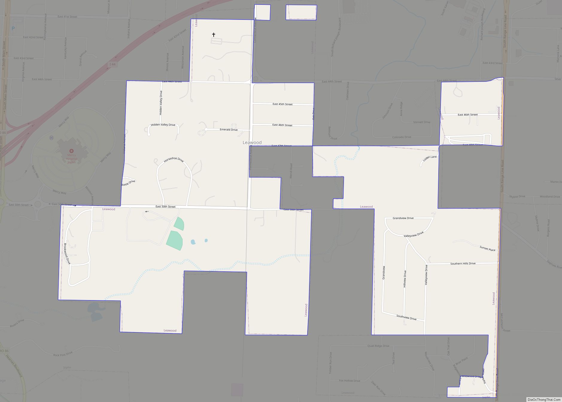
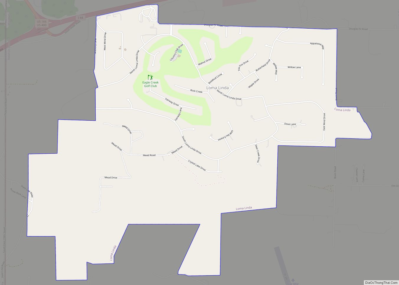
Online Interactive Map
Click on ![]() to view map in "full screen" mode.
to view map in "full screen" mode.
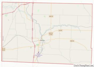
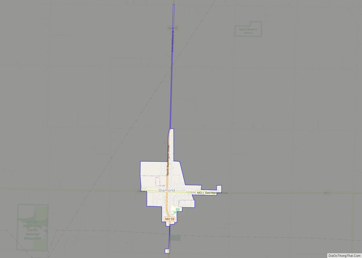
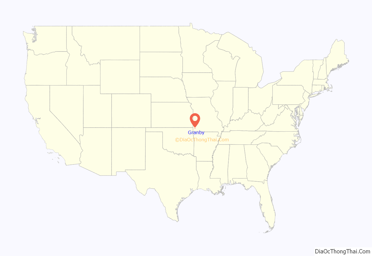
Granby location map. Where is Granby city?
History
A post office called Granby has been in operation since 1856. The community took its name from Granby, Massachusetts,
Mining historically was the chief industrial activity at Granby. At the turn of the 20th century, Granby contained a large smelter owned by Henry Taylor Blow.
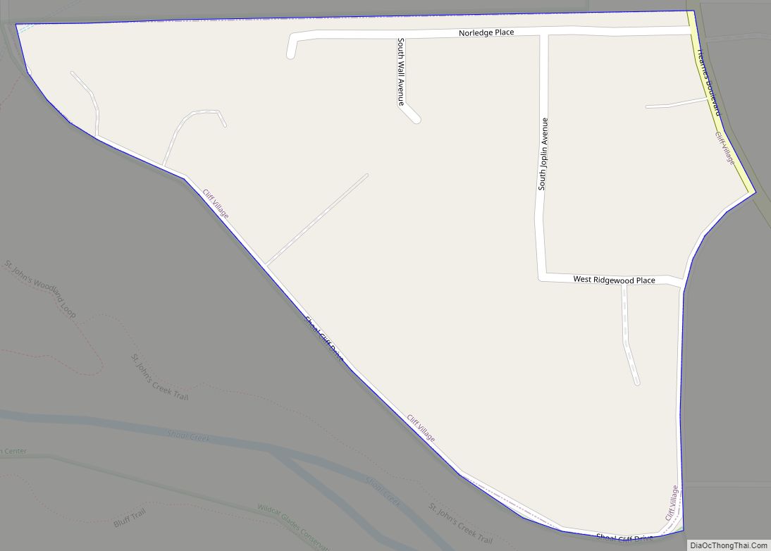
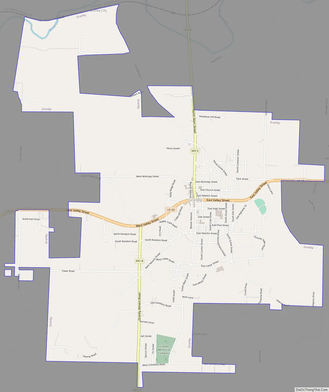
Granby Road Map
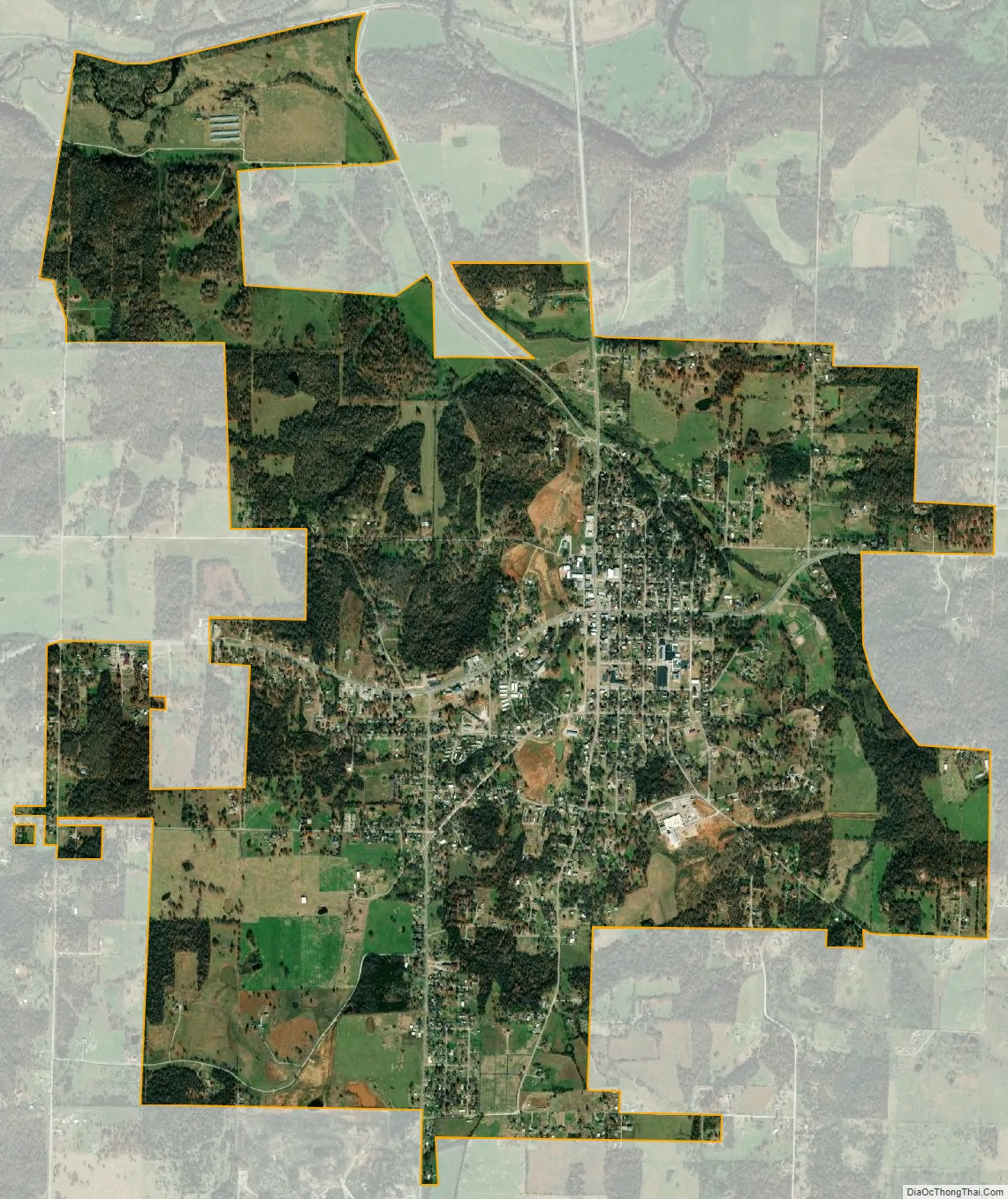
Granby city Satellite Map
Geography
Granby is located at 36°55′04″N 94°15′39″W / 36.91778°N 94.26083°W / 36.91778; -94.26083.
According to the United States Census Bureau, the city has a total area of 4.43 square miles (11.47 km), of which 4.42 square miles (11.45 km) is land and 0.01 square miles (0.03 km) is water.
There are virtually no chat piles left in Granby today as evidence of the boom of lead and zinc mining as part of the Tri-State district back in the early 20th century.
See also
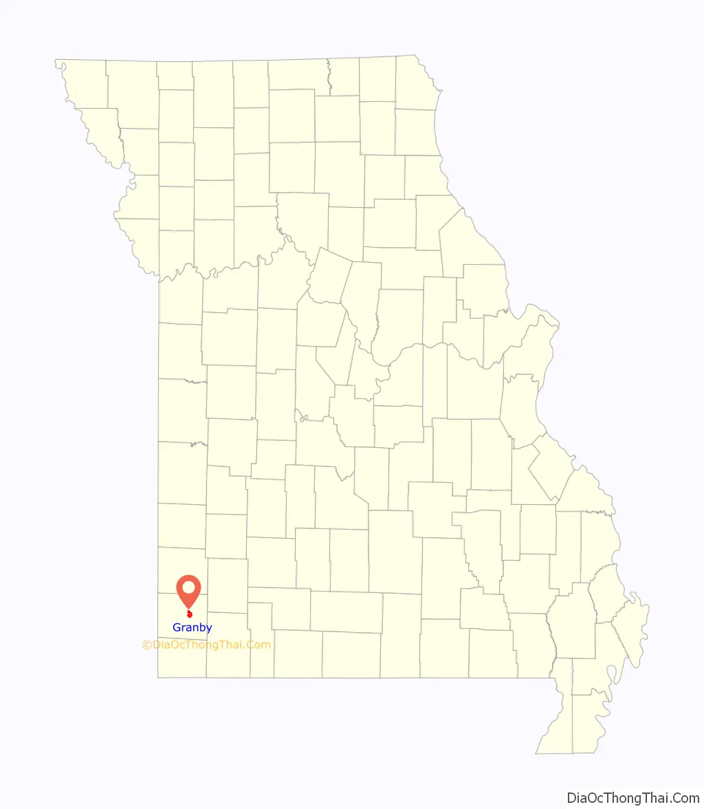
Map of Missouri State and its subdivision:- Adair
- Andrew
- Atchison
- Audrain
- Barry
- Barton
- Bates
- Benton
- Bollinger
- Boone
- Buchanan
- Butler
- Caldwell
- Callaway
- Camden
- Cape Girardeau
- Carroll
- Carter
- Cass
- Cedar
- Chariton
- Christian
- Clark
- Clay
- Clinton
- Cole
- Cooper
- Crawford
- Dade
- Dallas
- Daviess
- De Kalb
- Dent
- Douglas
- Dunklin
- Franklin
- Gasconade
- Gentry
- Greene
- Grundy
- Harrison
- Henry
- Hickory
- Holt
- Howard
- Howell
- Iron
- Jackson
- Jasper
- Jefferson
- Johnson
- Knox
- Laclede
- Lafayette
- Lawrence
- Lewis
- Lincoln
- Linn
- Livingston
- Macon
- Madison
- Maries
- Marion
- McDonald
- Mercer
- Miller
- Mississippi
- Moniteau
- Monroe
- Montgomery
- Morgan
- New Madrid
- Newton
- Nodaway
- Oregon
- Osage
- Ozark
- Pemiscot
- Perry
- Pettis
- Phelps
- Pike
- Platte
- Polk
- Pulaski
- Putnam
- Ralls
- Randolph
- Ray
- Reynolds
- Ripley
- Saint Charles
- Saint Clair
- Saint Francois
- Saint Louis
- Sainte Genevieve
- Saline
- Schuyler
- Scotland
- Scott
- Shannon
- Shelby
- Stoddard
- Stone
- Sullivan
- Taney
- Texas
- Vernon
- Warren
- Washington
- Wayne
- Webster
- Worth
- Wright
- Alabama
- Alaska
- Arizona
- Arkansas
- California
- Colorado
- Connecticut
- Delaware
- District of Columbia
- Florida
- Georgia
- Hawaii
- Idaho
- Illinois
- Indiana
- Iowa
- Kansas
- Kentucky
- Louisiana
- Maine
- Maryland
- Massachusetts
- Michigan
- Minnesota
- Mississippi
- Missouri
- Montana
- Nebraska
- Nevada
- New Hampshire
- New Jersey
- New Mexico
- New York
- North Carolina
- North Dakota
- Ohio
- Oklahoma
- Oregon
- Pennsylvania
- Rhode Island
- South Carolina
- South Dakota
- Tennessee
- Texas
- Utah
- Vermont
- Virginia
- Washington
- West Virginia
- Wisconsin
- Wyoming