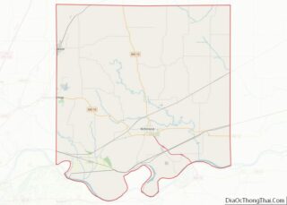
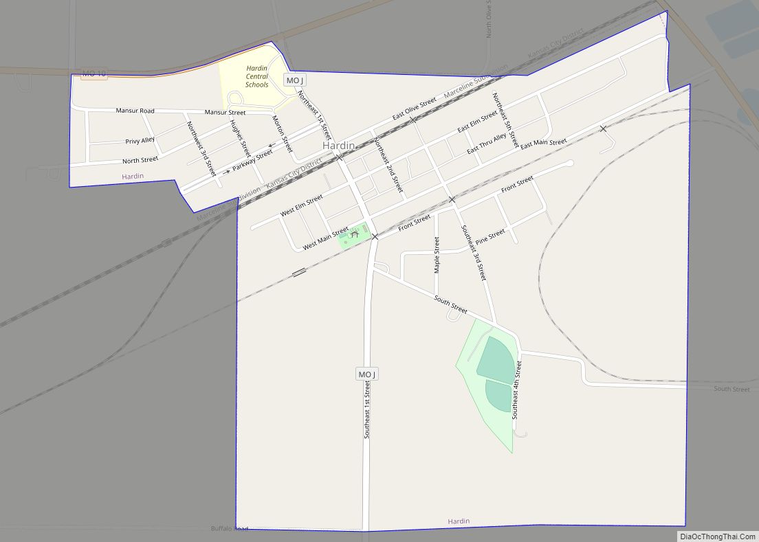
Hardin is a city in southeast Ray County, Missouri, and part of the Kansas City metropolitan area within the United States. The population was 571 at the 2020 census.
| Name: | Hardin city |
|---|---|
| LSAD Code: | 25 |
| LSAD Description: | city (suffix) |
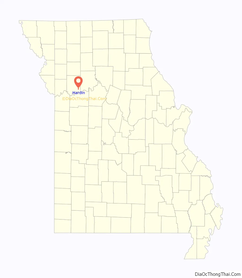
| State: | Missouri |
| County: | Ray County |
| Elevation: | 692 ft (211 m) |
| Total Area: | 0.64 sq mi (1.67 km²) |
| Land Area: | 0.64 sq mi (1.67 km²) |
| Water Area: | 0.00 sq mi (0.00 km²) |
| Total Population: | 571 |
| Population Density: | 888.02/sq mi (342.90/km²) |
| ZIP code: | 64035 |
| Area code: | 660 |
| FIPS code: | 2930322 |
| GNISfeature ID: | 2394294 |
Online Interactive Map
Click on ![]() to view map in "full screen" mode.
to view map in "full screen" mode.
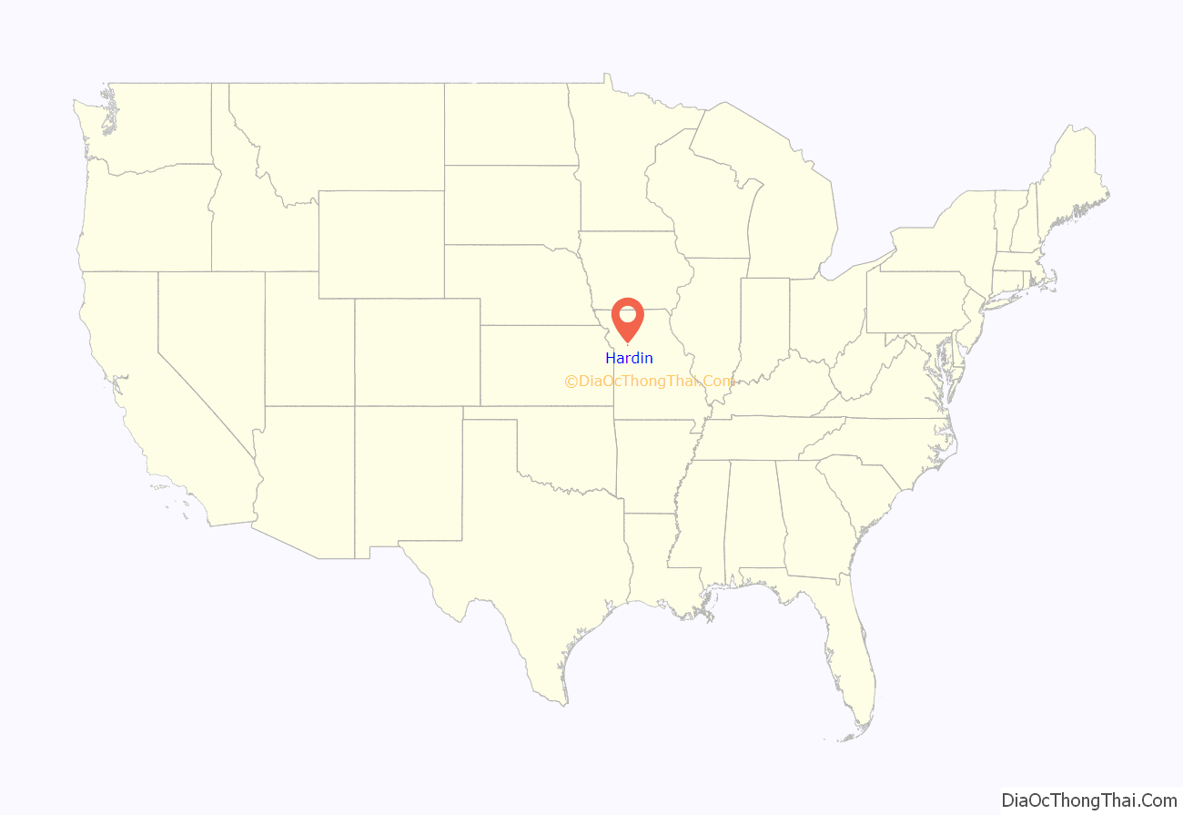
Hardin location map. Where is Hardin city?
History
Hardin was laid out in 1868. The community was named for Charles Henry Hardin, 22nd Governor of Missouri. A post office called Hardin has been in operation since 1858.
1993 floods
Hardin and its cemetery were affected by the Great Flood of 1993, due to their location near the Missouri River. On July 12, 1993 a levee protecting the town of Hardin broke, flooding the city and the cemetery. The flood waters cut a pond thru the cemetery and swept away 793 burials. Later, 645 remains were recovered, but most were unidentified. Some were still inside their vaults or caskets (thus helping making identification easier), while others were scattered in the open. Since DNA testing was still in its infancy, bodies and bones had to be identified by the rate of decay, sex, age range, dental records and family recollections. Of the bodies recovered, only 120 were identified and reburied with their original headstones. The remaining 525 bodies were unidentified. Some had decayed to the point that they were unrecognizable, others were too old to have any surviving records or relatives. The unidentified bodies were reburied in a mass grave in part of a 9.5 acre plot of land that was purchased by the cemetery after the 1993 flood. The unidentified were marked with a headstone listing them as unknown and a number, so in case the bodies were to be disturbed again by another flood or if authorities wanted to try to identify them with newer technology or DNA testing in the future. A memorial was added to the western entrance of the cemetery in 1994 to honor the 1993 flood and the unidentified bodies. Part of the newly acquired acre of land was also used to display the recovered headstones of those whose bodies were not identified. They today function as a Cenotaph for the unidentified bodies so living family members can still pay respects. The rest was used to rebury the 120 identified bodies and for new burials. In 1995, a second memorial was added near the mass grave displaying the names, birth and death years of the displaced bodies that could not be identified. Today, the cemetery is 18.5 acres large, including the pond.
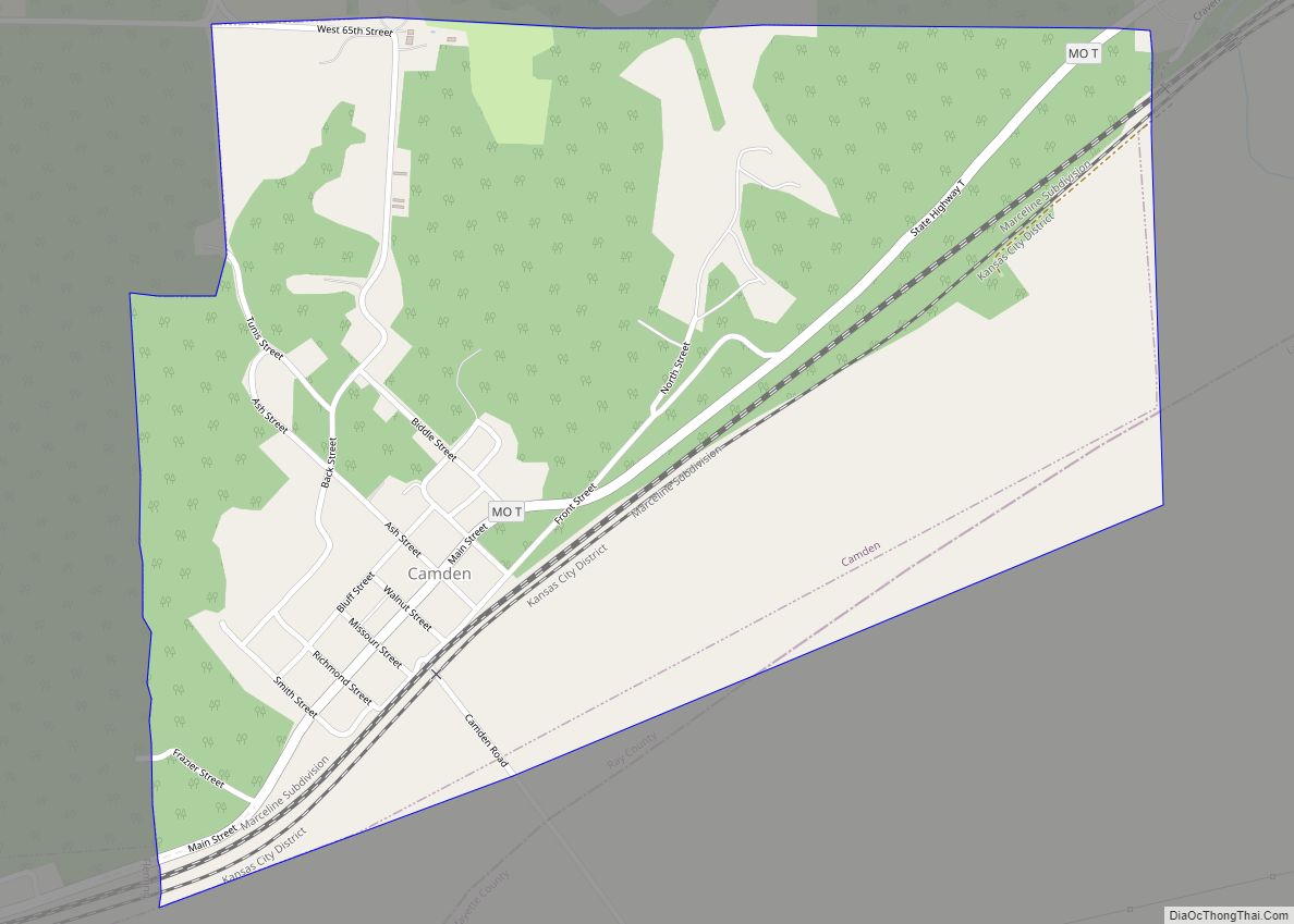
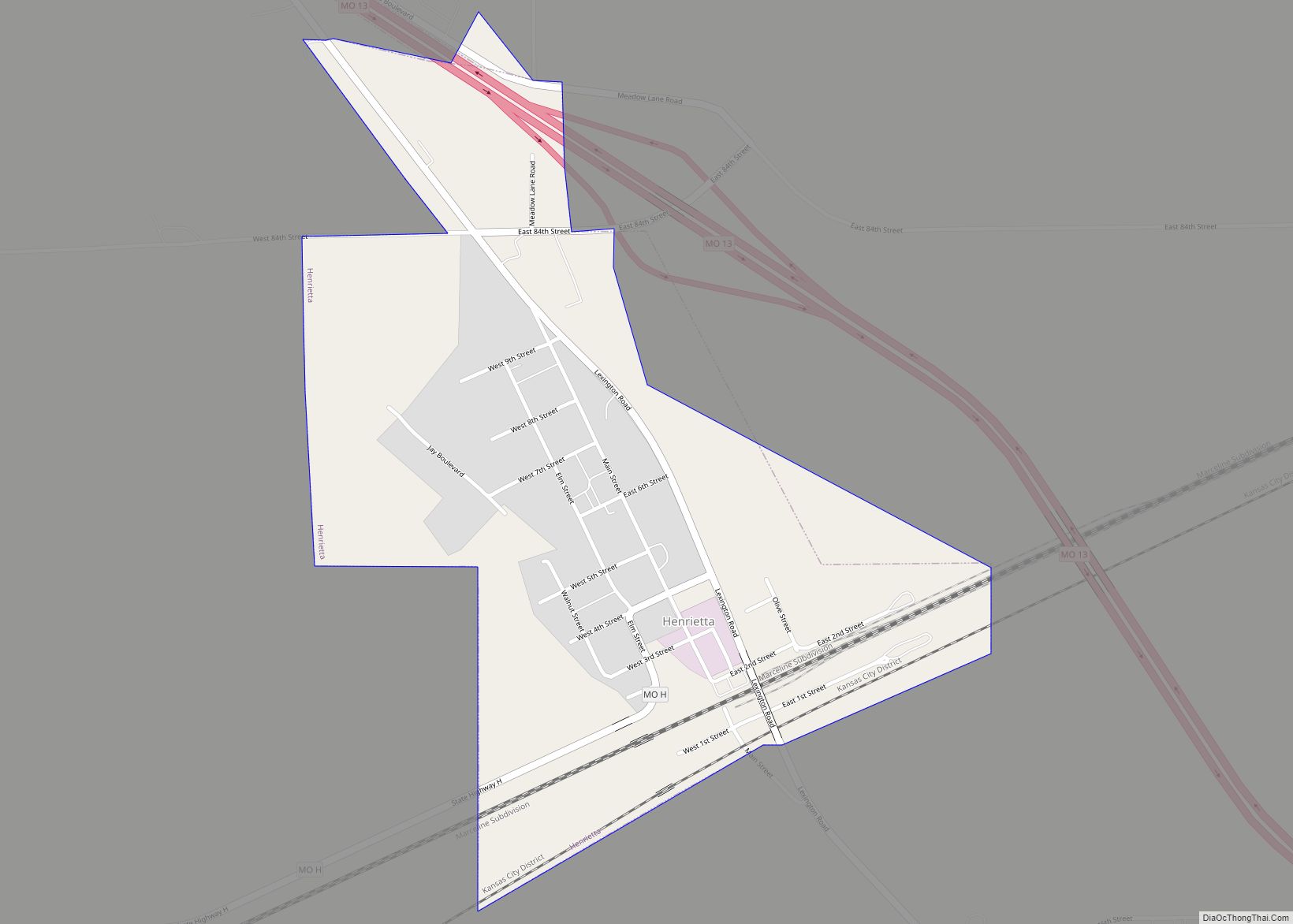
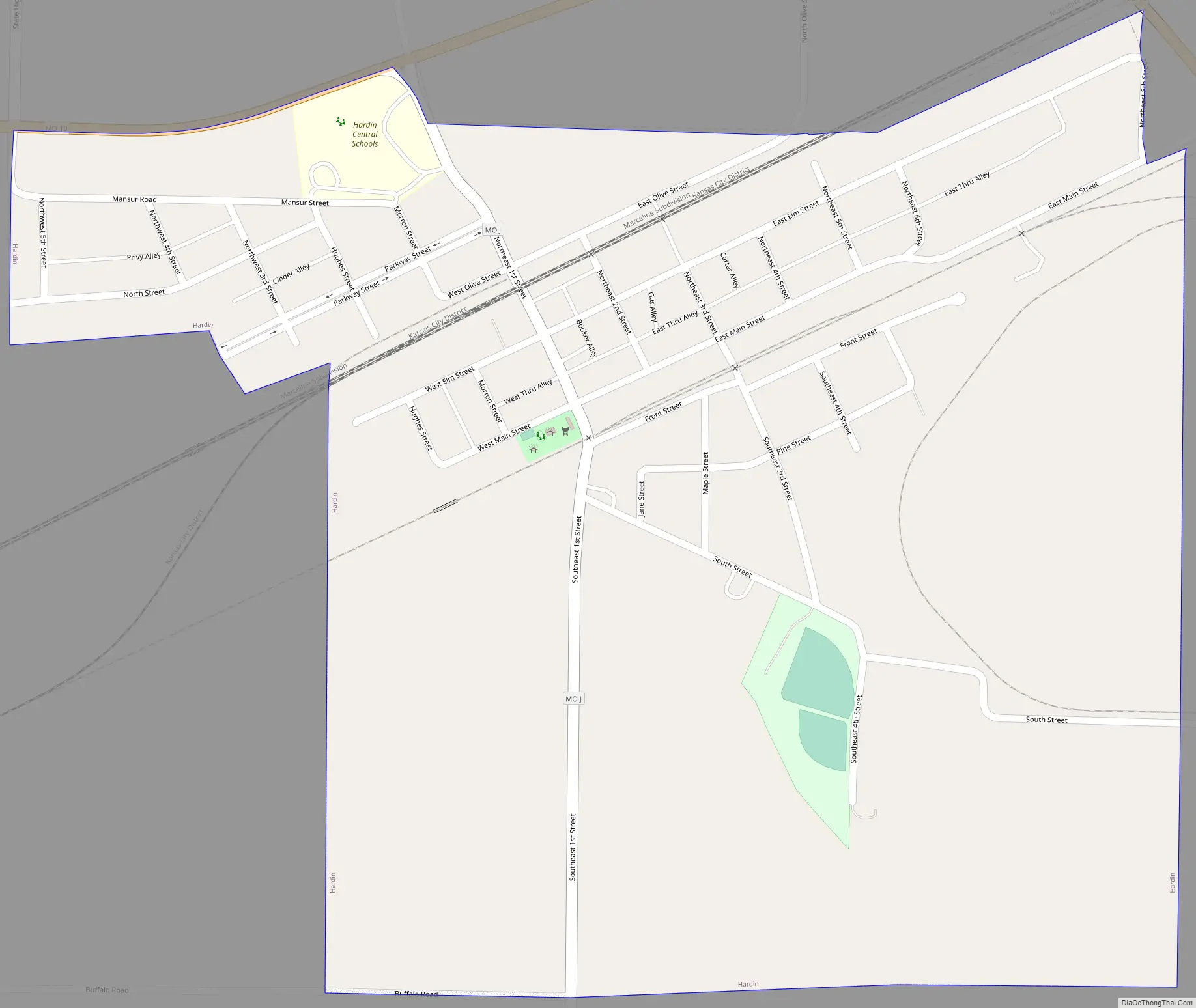
Hardin Road Map
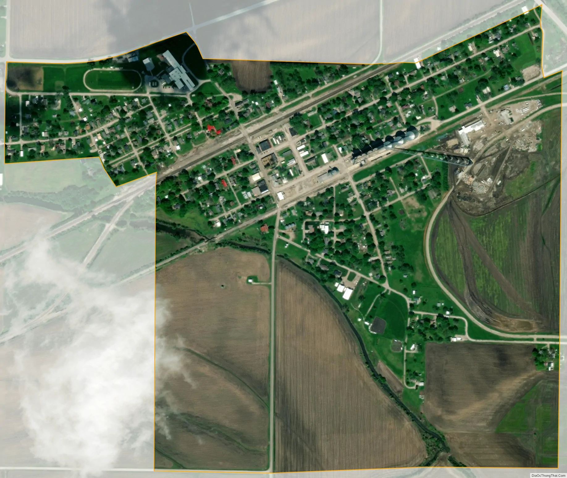
Hardin city Satellite Map
Geography
According to the United States Census Bureau, the city has a total area of 0.64 square miles (1.66 km), all land.
See also
Map of Missouri State and its subdivision:- Adair
- Andrew
- Atchison
- Audrain
- Barry
- Barton
- Bates
- Benton
- Bollinger
- Boone
- Buchanan
- Butler
- Caldwell
- Callaway
- Camden
- Cape Girardeau
- Carroll
- Carter
- Cass
- Cedar
- Chariton
- Christian
- Clark
- Clay
- Clinton
- Cole
- Cooper
- Crawford
- Dade
- Dallas
- Daviess
- De Kalb
- Dent
- Douglas
- Dunklin
- Franklin
- Gasconade
- Gentry
- Greene
- Grundy
- Harrison
- Henry
- Hickory
- Holt
- Howard
- Howell
- Iron
- Jackson
- Jasper
- Jefferson
- Johnson
- Knox
- Laclede
- Lafayette
- Lawrence
- Lewis
- Lincoln
- Linn
- Livingston
- Macon
- Madison
- Maries
- Marion
- McDonald
- Mercer
- Miller
- Mississippi
- Moniteau
- Monroe
- Montgomery
- Morgan
- New Madrid
- Newton
- Nodaway
- Oregon
- Osage
- Ozark
- Pemiscot
- Perry
- Pettis
- Phelps
- Pike
- Platte
- Polk
- Pulaski
- Putnam
- Ralls
- Randolph
- Ray
- Reynolds
- Ripley
- Saint Charles
- Saint Clair
- Saint Francois
- Saint Louis
- Sainte Genevieve
- Saline
- Schuyler
- Scotland
- Scott
- Shannon
- Shelby
- Stoddard
- Stone
- Sullivan
- Taney
- Texas
- Vernon
- Warren
- Washington
- Wayne
- Webster
- Worth
- Wright
- Alabama
- Alaska
- Arizona
- Arkansas
- California
- Colorado
- Connecticut
- Delaware
- District of Columbia
- Florida
- Georgia
- Hawaii
- Idaho
- Illinois
- Indiana
- Iowa
- Kansas
- Kentucky
- Louisiana
- Maine
- Maryland
- Massachusetts
- Michigan
- Minnesota
- Mississippi
- Missouri
- Montana
- Nebraska
- Nevada
- New Hampshire
- New Jersey
- New Mexico
- New York
- North Carolina
- North Dakota
- Ohio
- Oklahoma
- Oregon
- Pennsylvania
- Rhode Island
- South Carolina
- South Dakota
- Tennessee
- Texas
- Utah
- Vermont
- Virginia
- Washington
- West Virginia
- Wisconsin
- Wyoming