Humansville is a city in Polk County, Missouri, United States. As of the 2010 census, the city population was 1,048. It is part of the Springfield, Missouri Metropolitan Statistical Area. Carl Long is the current mayor, sworn in on October 7, 2019.
| Name: | Humansville city |
|---|---|
| LSAD Code: | 25 |
| LSAD Description: | city (suffix) |
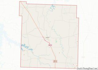
| State: | Missouri |
| County: | Polk County |
| Elevation: | 965 ft (294 m) |
| Total Area: | 1.24 sq mi (3.22 km²) |
| Land Area: | 1.23 sq mi (3.19 km²) |
| Water Area: | 0.01 sq mi (0.03 km²) |
| Total Population: | 907 |
| Population Density: | 737.40/sq mi (284.60/km²) |
| ZIP code: | 65674 |
| Area code: | 417 |
| FIPS code: | 2933706 |
| GNISfeature ID: | 2394443 |
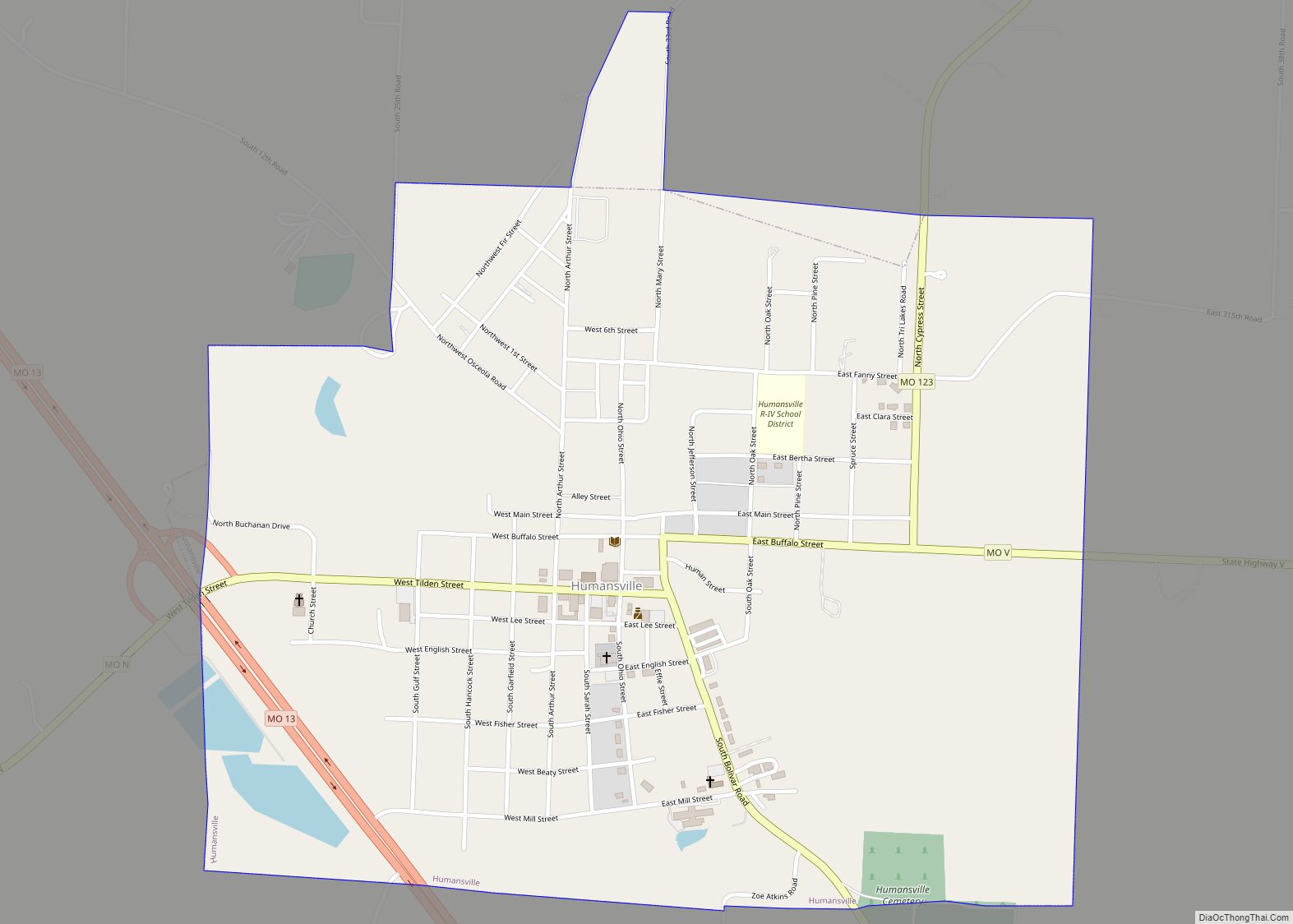
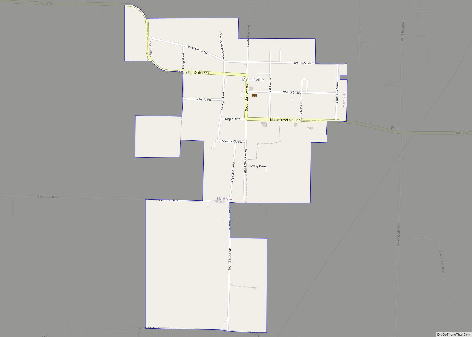
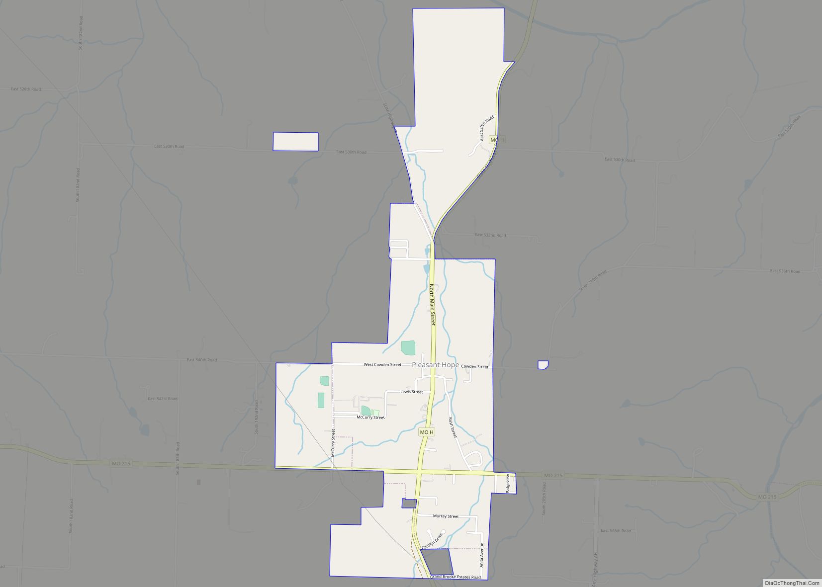
Online Interactive Map
Click on ![]() to view map in "full screen" mode.
to view map in "full screen" mode.
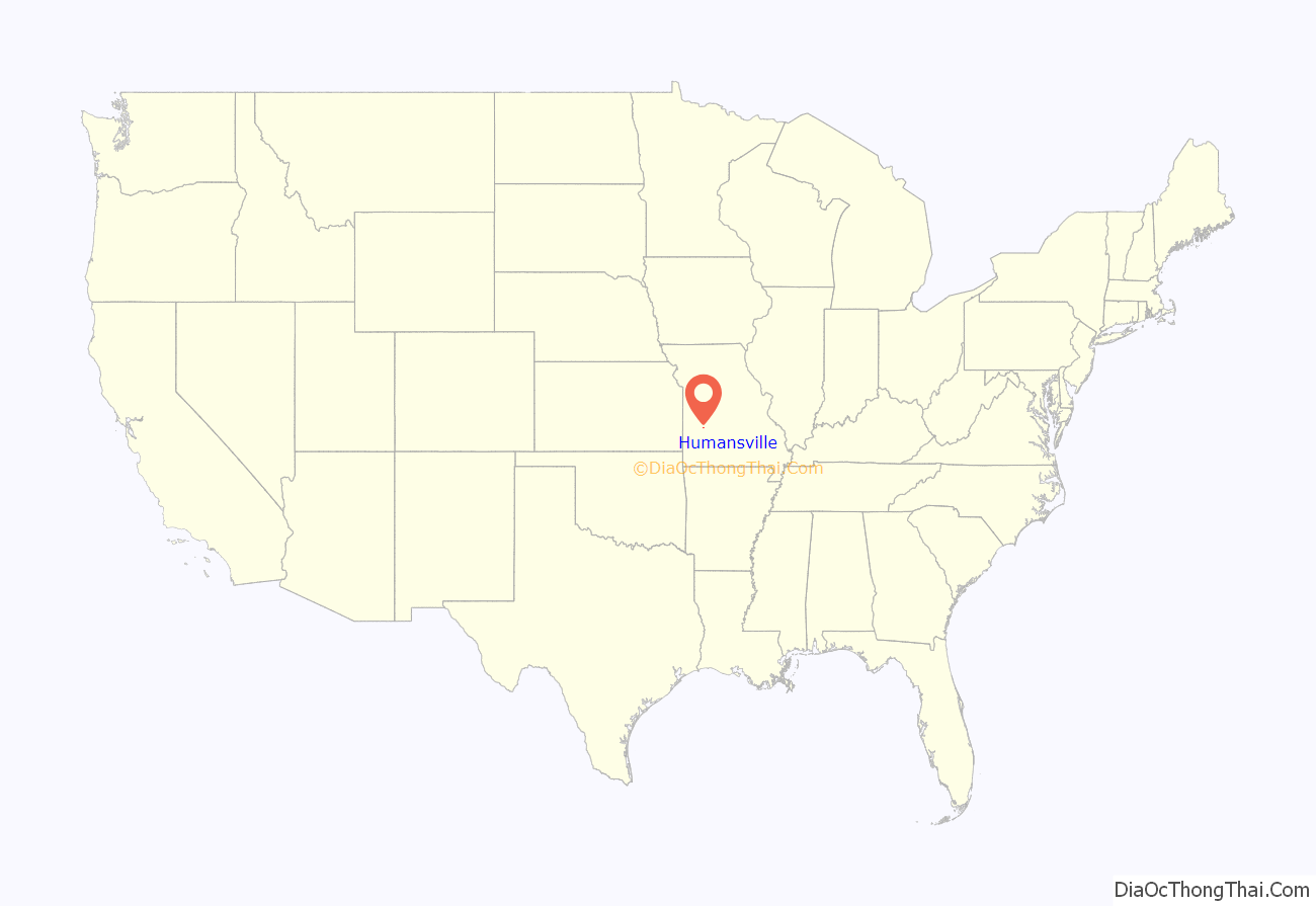
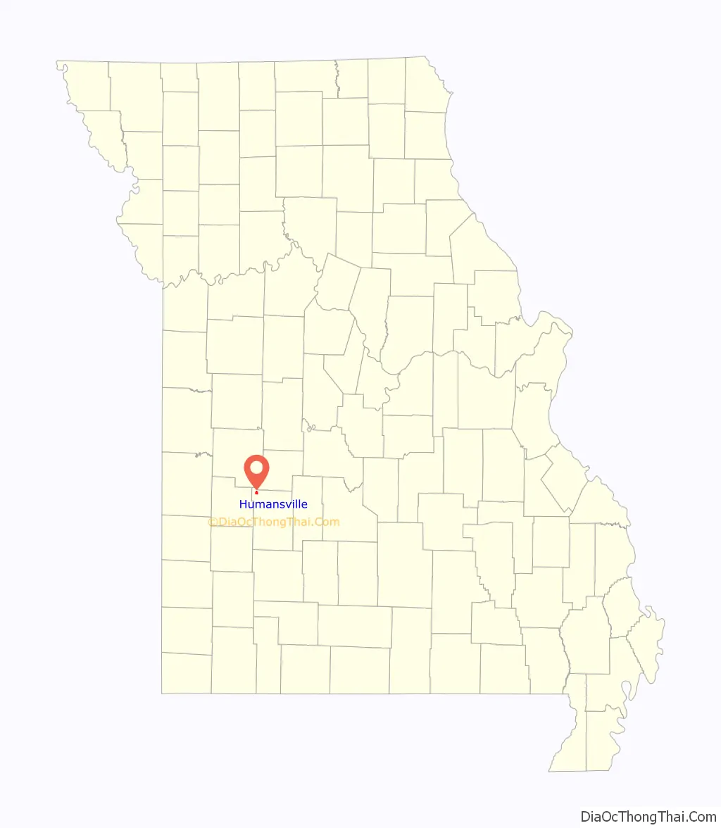
Humansville location map. Where is Humansville city?
History
Humansville was named after an American settler, Judge James G. Human, who settled in the area in 1834. A post office called Humansville has been in operation since 1839.
During the Civil War, a skirmish was fought on the town’s outskirts on March 26, 1862, in which approximately 300 to 400 Missouri Confederates under Col. James M. Frazier of Cedar County clashed with two companies of pro-Union Missouri State Militia. Casualties were few, but Col. Frazier was himself mortally wounded, which caused the Confederates to retreat.
The George Dimmitt Memorial Hospital was listed on the National Register of Historic Places in 2012.
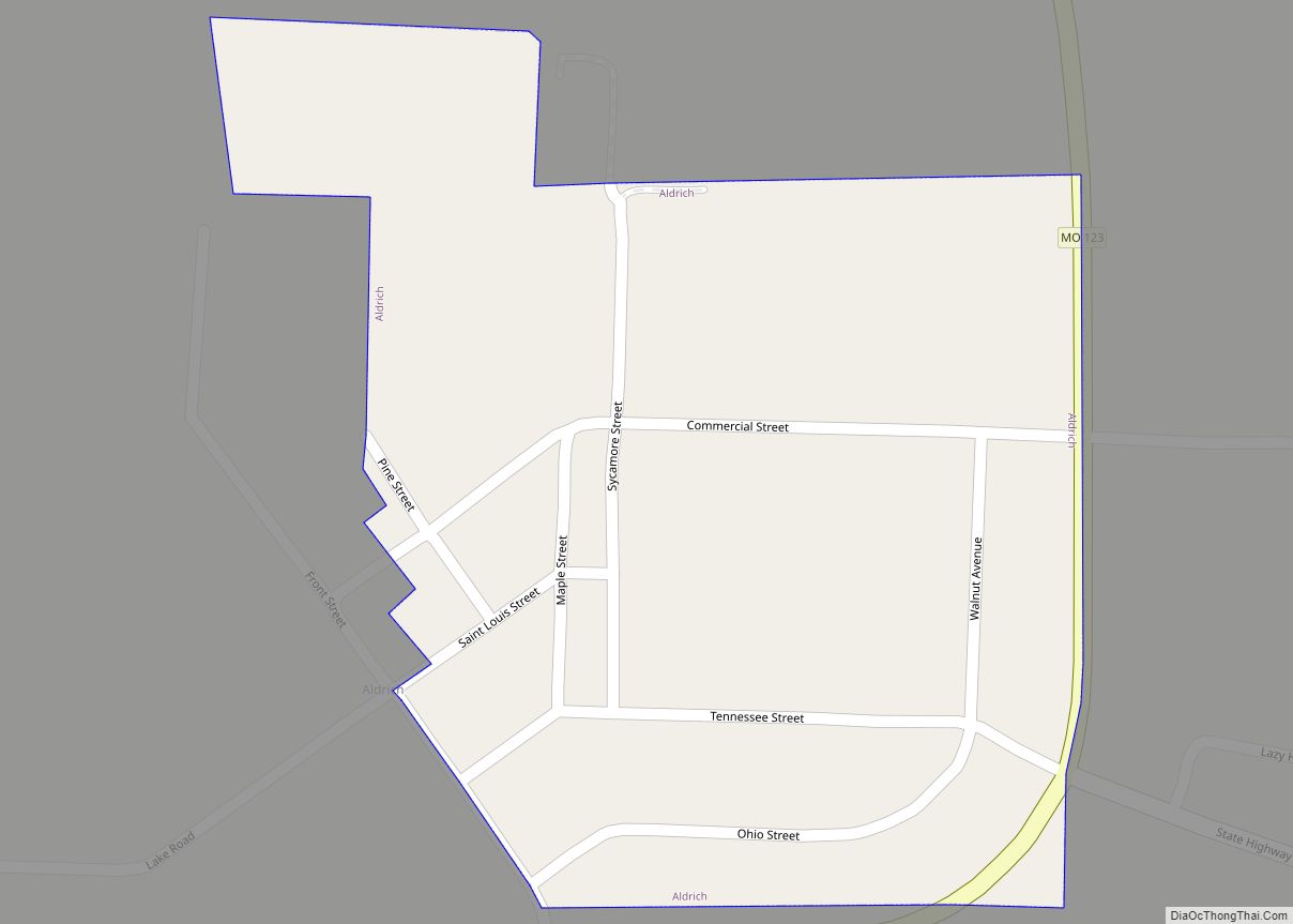
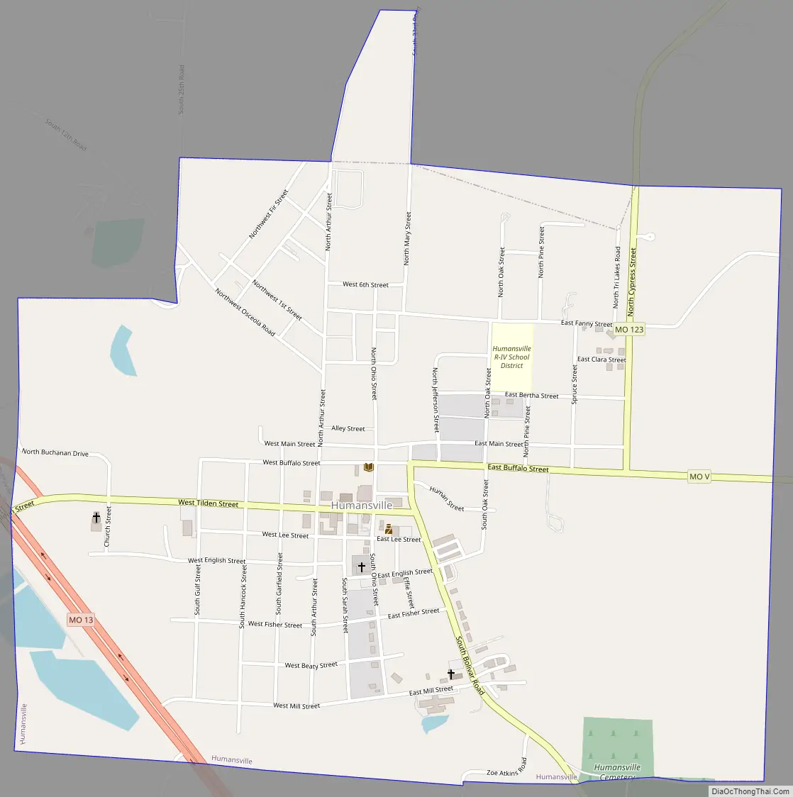
Humansville Road Map
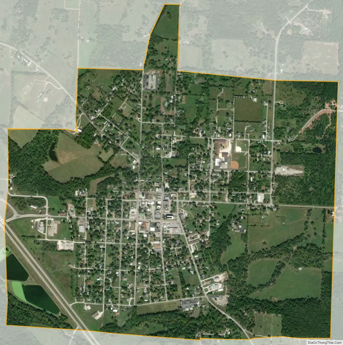
Humansville city Satellite Map
Geography
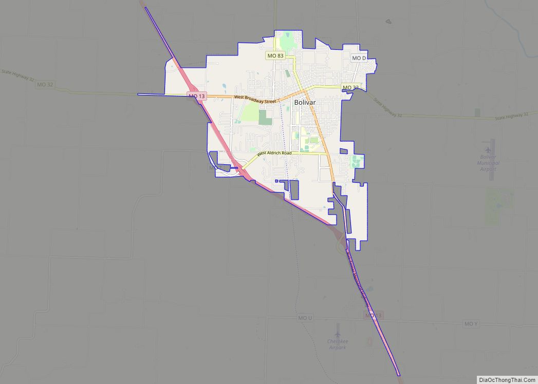
Humansville sits on Brush Creek and the line of the old Kansas City, Clinton and Springfield Railway. It is 18 mi (29 km) northwest of Bolivar, the seat of Polk County.
According to the United States Census Bureau, the city has a total area of 1.19 square miles (3.08 km), of which 1.18 square miles (3.06 km) is land and 0.01 square miles (0.03 km) is water.
See also
Map of Missouri State and its subdivision:- Adair
- Andrew
- Atchison
- Audrain
- Barry
- Barton
- Bates
- Benton
- Bollinger
- Boone
- Buchanan
- Butler
- Caldwell
- Callaway
- Camden
- Cape Girardeau
- Carroll
- Carter
- Cass
- Cedar
- Chariton
- Christian
- Clark
- Clay
- Clinton
- Cole
- Cooper
- Crawford
- Dade
- Dallas
- Daviess
- De Kalb
- Dent
- Douglas
- Dunklin
- Franklin
- Gasconade
- Gentry
- Greene
- Grundy
- Harrison
- Henry
- Hickory
- Holt
- Howard
- Howell
- Iron
- Jackson
- Jasper
- Jefferson
- Johnson
- Knox
- Laclede
- Lafayette
- Lawrence
- Lewis
- Lincoln
- Linn
- Livingston
- Macon
- Madison
- Maries
- Marion
- McDonald
- Mercer
- Miller
- Mississippi
- Moniteau
- Monroe
- Montgomery
- Morgan
- New Madrid
- Newton
- Nodaway
- Oregon
- Osage
- Ozark
- Pemiscot
- Perry
- Pettis
- Phelps
- Pike
- Platte
- Polk
- Pulaski
- Putnam
- Ralls
- Randolph
- Ray
- Reynolds
- Ripley
- Saint Charles
- Saint Clair
- Saint Francois
- Saint Louis
- Sainte Genevieve
- Saline
- Schuyler
- Scotland
- Scott
- Shannon
- Shelby
- Stoddard
- Stone
- Sullivan
- Taney
- Texas
- Vernon
- Warren
- Washington
- Wayne
- Webster
- Worth
- Wright
- Alabama
- Alaska
- Arizona
- Arkansas
- California
- Colorado
- Connecticut
- Delaware
- District of Columbia
- Florida
- Georgia
- Hawaii
- Idaho
- Illinois
- Indiana
- Iowa
- Kansas
- Kentucky
- Louisiana
- Maine
- Maryland
- Massachusetts
- Michigan
- Minnesota
- Mississippi
- Missouri
- Montana
- Nebraska
- Nevada
- New Hampshire
- New Jersey
- New Mexico
- New York
- North Carolina
- North Dakota
- Ohio
- Oklahoma
- Oregon
- Pennsylvania
- Rhode Island
- South Carolina
- South Dakota
- Tennessee
- Texas
- Utah
- Vermont
- Virginia
- Washington
- West Virginia
- Wisconsin
- Wyoming