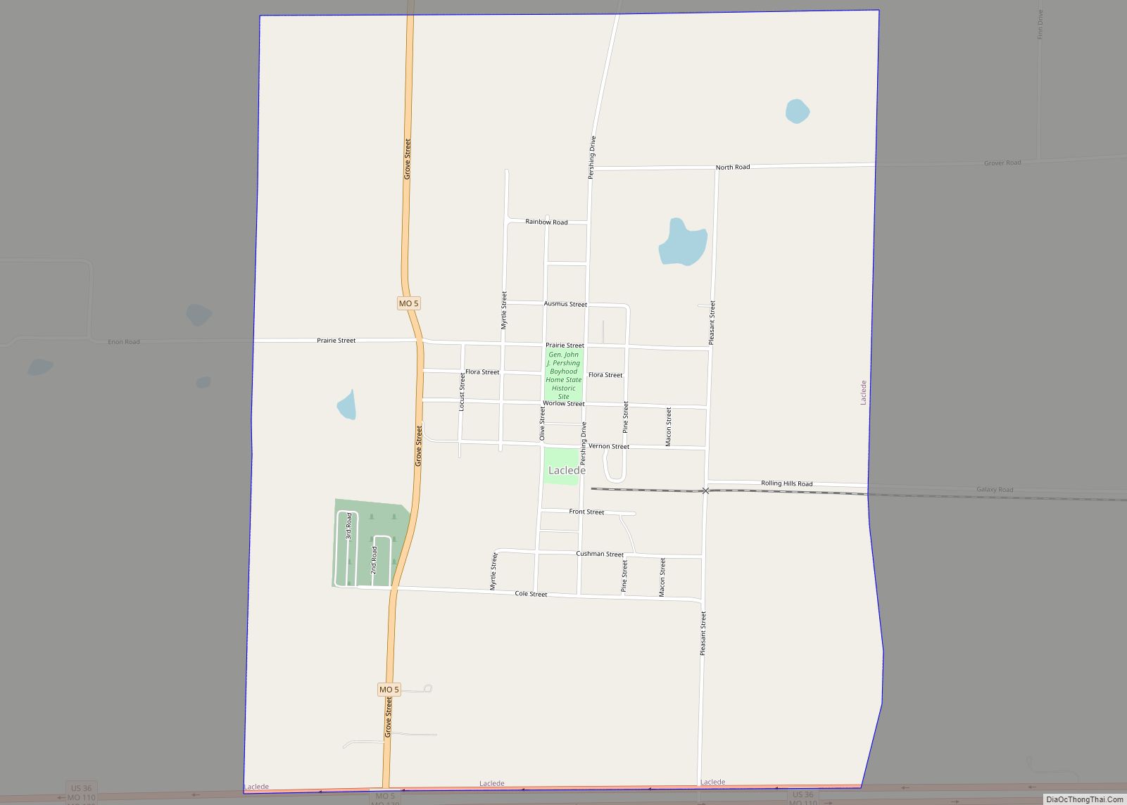
Laclede is a city in Linn County, Missouri. The population was 305 at the 2020 census, down from 345 in 2010.
| Name: | Laclede city |
|---|---|
| LSAD Code: | 25 |
| LSAD Description: | city (suffix) |
| State: | Missouri |
| County: | Linn County |
| Elevation: | 797 ft (243 m) |
| Total Area: | 1.27 sq mi (3.28 km²) |
| Land Area: | 1.25 sq mi (3.24 km²) |
| Water Area: | 0.02 sq mi (0.04 km²) |
| Total Population: | 305 |
| Population Density: | 244.20/sq mi (94.28/km²) |
| ZIP code: | 64651 |
| Area code: | 660 |
| FIPS code: | 2939566 |
| GNISfeature ID: | 2395577 |
Online Interactive Map
Click on ![]() to view map in "full screen" mode.
to view map in "full screen" mode.
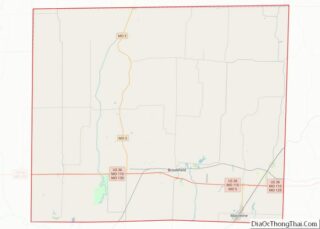
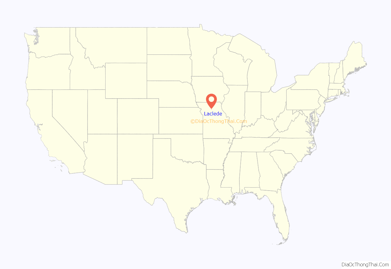
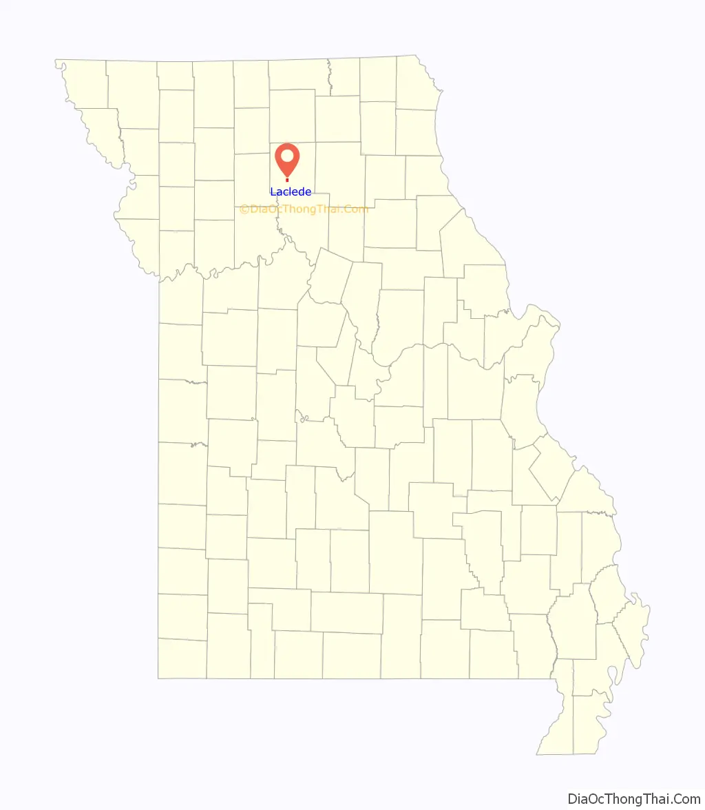
Laclede location map. Where is Laclede city?
History
Laclede was platted in 1853. The city was named for Pierre Laclède, the founder of St. Louis.
A post office called Laclede has been in operation since 1856. In July 2011 the United States Postal Service announced plans to permanently close the Laclede post office as part of a nationwide restructuring plan.
The Locust Creek Covered Bridge, Gen. John J. Pershing Boyhood Home, and Plum Grove School are listed on the National Register of Historic Places.
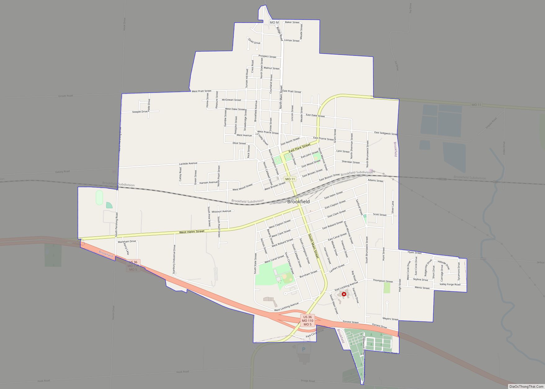
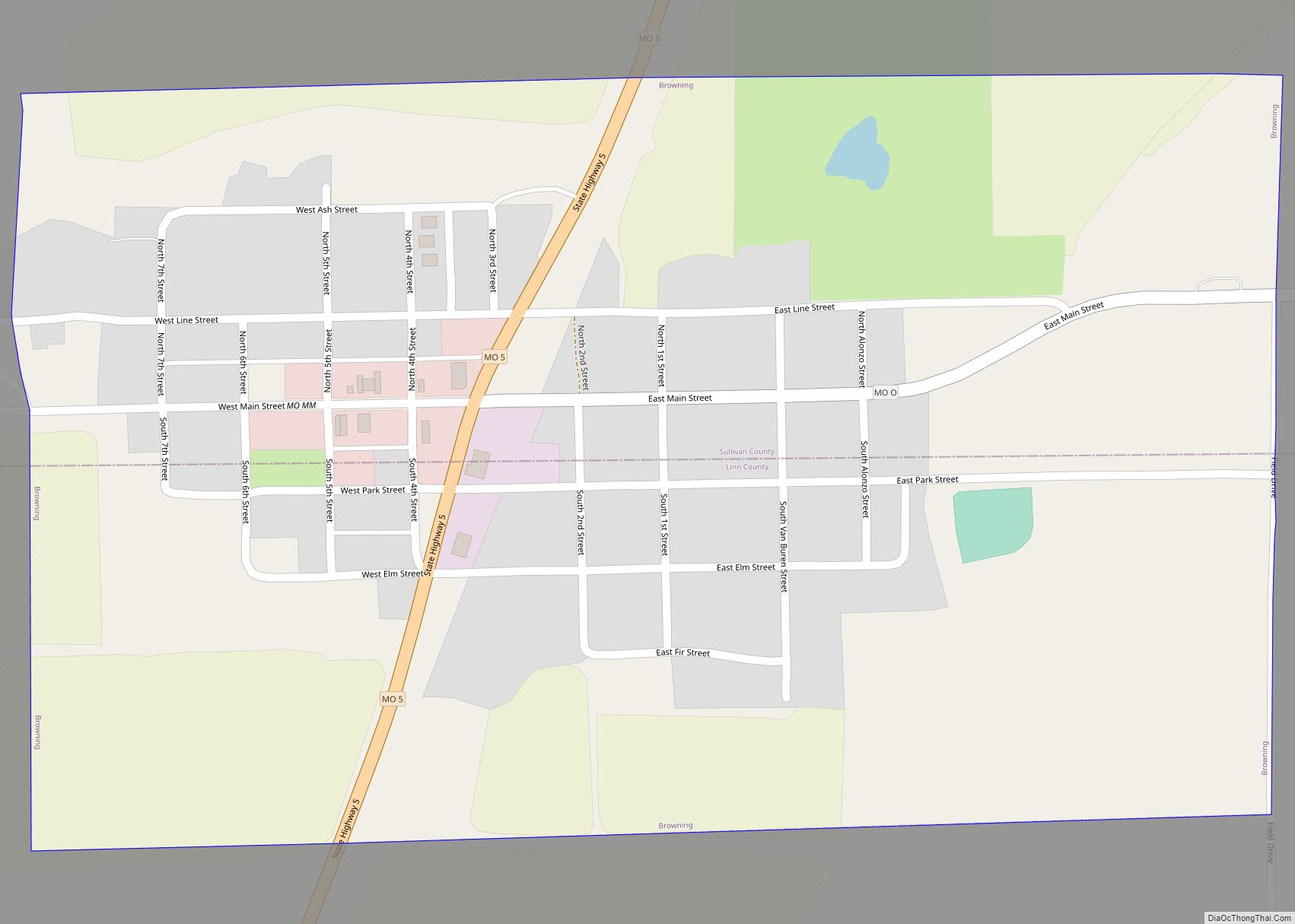
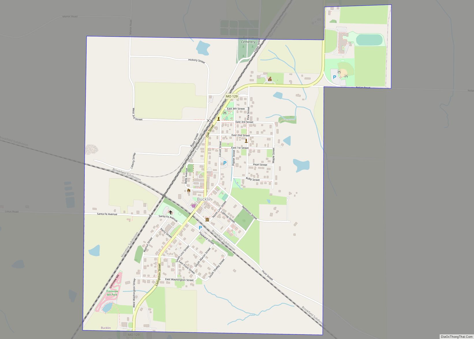
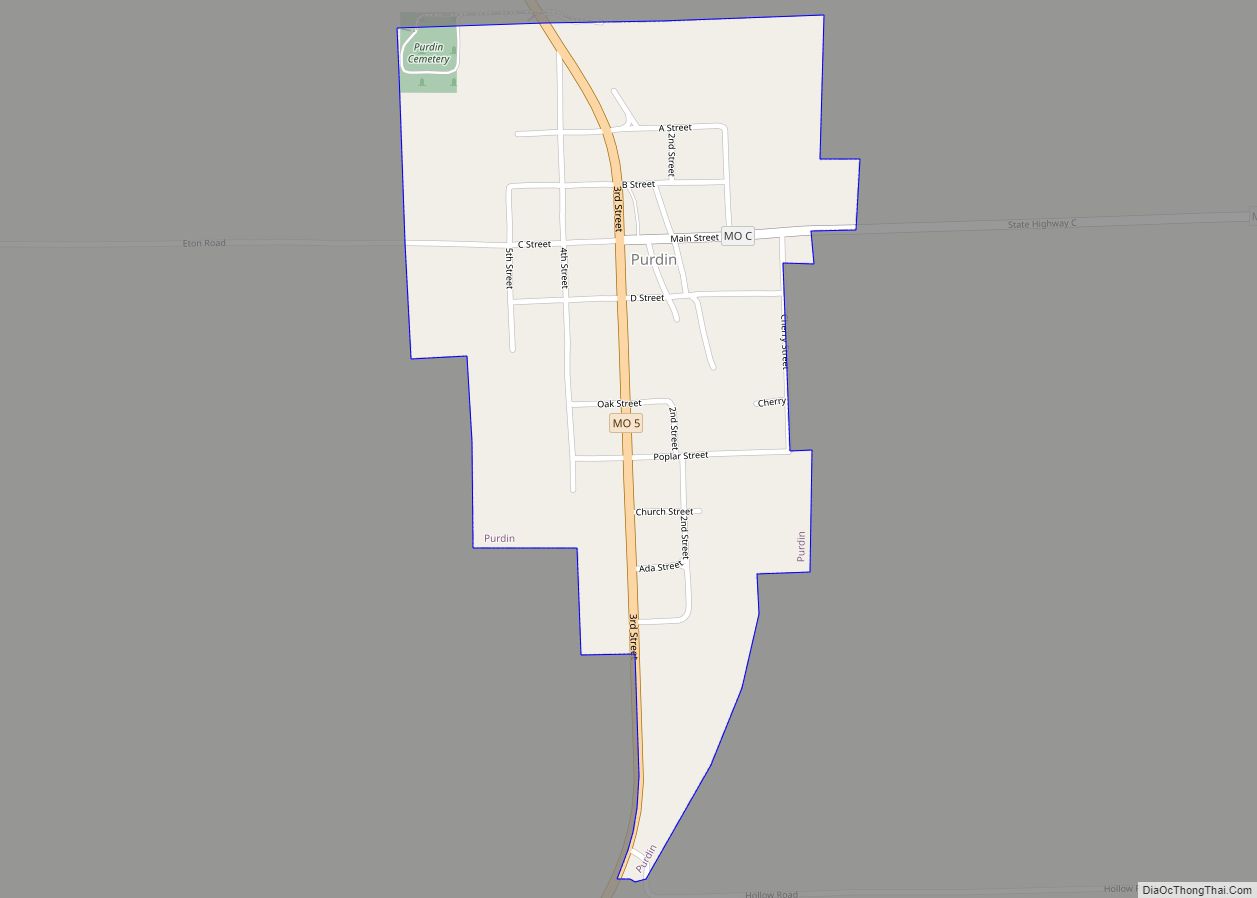
Laclede Road Map
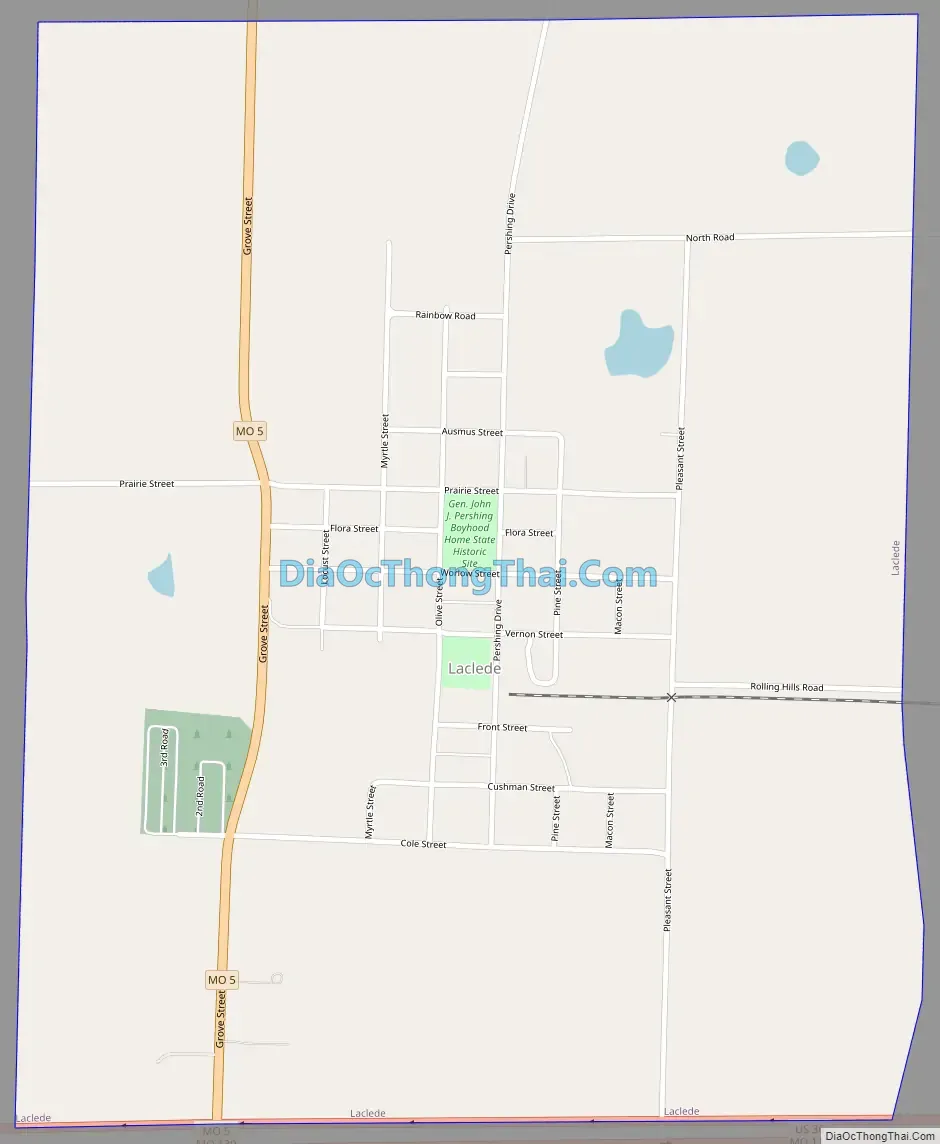
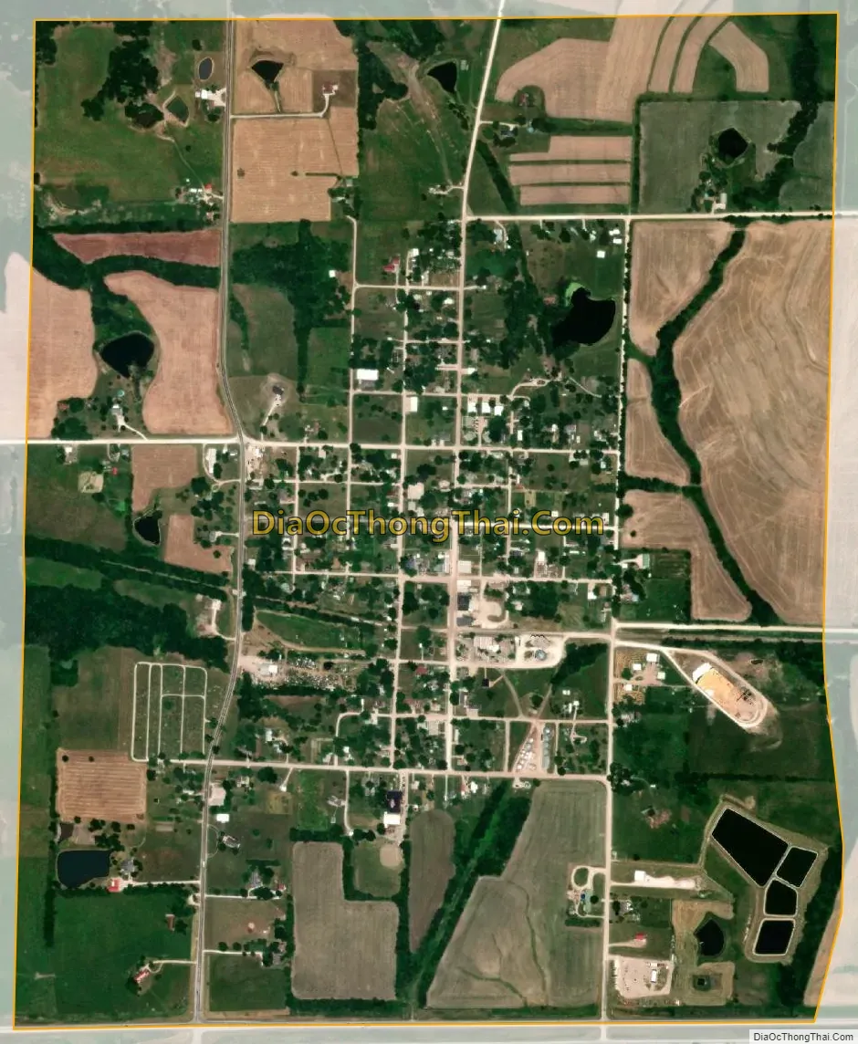
Laclede city Satellite Map
Geography
According to the United States Census Bureau, the city has a total area of 1.27 square miles (3.29 km), of which 1.25 square miles (3.24 km) is land and 0.02 square miles (0.05 km) is water.
See also
Map of Missouri State and its subdivision:- Adair
- Andrew
- Atchison
- Audrain
- Barry
- Barton
- Bates
- Benton
- Bollinger
- Boone
- Buchanan
- Butler
- Caldwell
- Callaway
- Camden
- Cape Girardeau
- Carroll
- Carter
- Cass
- Cedar
- Chariton
- Christian
- Clark
- Clay
- Clinton
- Cole
- Cooper
- Crawford
- Dade
- Dallas
- Daviess
- De Kalb
- Dent
- Douglas
- Dunklin
- Franklin
- Gasconade
- Gentry
- Greene
- Grundy
- Harrison
- Henry
- Hickory
- Holt
- Howard
- Howell
- Iron
- Jackson
- Jasper
- Jefferson
- Johnson
- Knox
- Laclede
- Lafayette
- Lawrence
- Lewis
- Lincoln
- Linn
- Livingston
- Macon
- Madison
- Maries
- Marion
- McDonald
- Mercer
- Miller
- Mississippi
- Moniteau
- Monroe
- Montgomery
- Morgan
- New Madrid
- Newton
- Nodaway
- Oregon
- Osage
- Ozark
- Pemiscot
- Perry
- Pettis
- Phelps
- Pike
- Platte
- Polk
- Pulaski
- Putnam
- Ralls
- Randolph
- Ray
- Reynolds
- Ripley
- Saint Charles
- Saint Clair
- Saint Francois
- Saint Louis
- Sainte Genevieve
- Saline
- Schuyler
- Scotland
- Scott
- Shannon
- Shelby
- Stoddard
- Stone
- Sullivan
- Taney
- Texas
- Vernon
- Warren
- Washington
- Wayne
- Webster
- Worth
- Wright
- Alabama
- Alaska
- Arizona
- Arkansas
- California
- Colorado
- Connecticut
- Delaware
- District of Columbia
- Florida
- Georgia
- Hawaii
- Idaho
- Illinois
- Indiana
- Iowa
- Kansas
- Kentucky
- Louisiana
- Maine
- Maryland
- Massachusetts
- Michigan
- Minnesota
- Mississippi
- Missouri
- Montana
- Nebraska
- Nevada
- New Hampshire
- New Jersey
- New Mexico
- New York
- North Carolina
- North Dakota
- Ohio
- Oklahoma
- Oregon
- Pennsylvania
- Rhode Island
- South Carolina
- South Dakota
- Tennessee
- Texas
- Utah
- Vermont
- Virginia
- Washington
- West Virginia
- Wisconsin
- Wyoming