Ladue is an inner-ring suburb of St. Louis, located in St. Louis County, Missouri. As of the 2020 census, the city had a population of 8,989.
Ladue has the highest median household income of any city in Missouri with a population over 1,000.
| Name: | Ladue city |
|---|---|
| LSAD Code: | 25 |
| LSAD Description: | city (suffix) |
| State: | Missouri |
| County: | St. Louis County |
| Incorporated: | 1936 |
| Elevation: | 561 ft (171 m) |
| Total Area: | 8.57 sq mi (22.19 km²) |
| Land Area: | 8.56 sq mi (22.17 km²) |
| Water Area: | 0.01 sq mi (0.02 km²) |
| Total Population: | 8,989 |
| Population Density: | 1,050.12/sq mi (405.46/km²) |
| ZIP code: | 63124 |
| Area code: | 314 |
| FIPS code: | 2939656 |
| GNISfeature ID: | 2395582 |
| Website: | http://www.cityofladue-mo.gov |
Online Interactive Map
Click on ![]() to view map in "full screen" mode.
to view map in "full screen" mode.
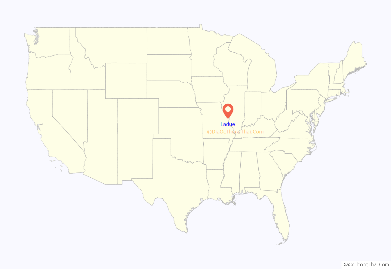
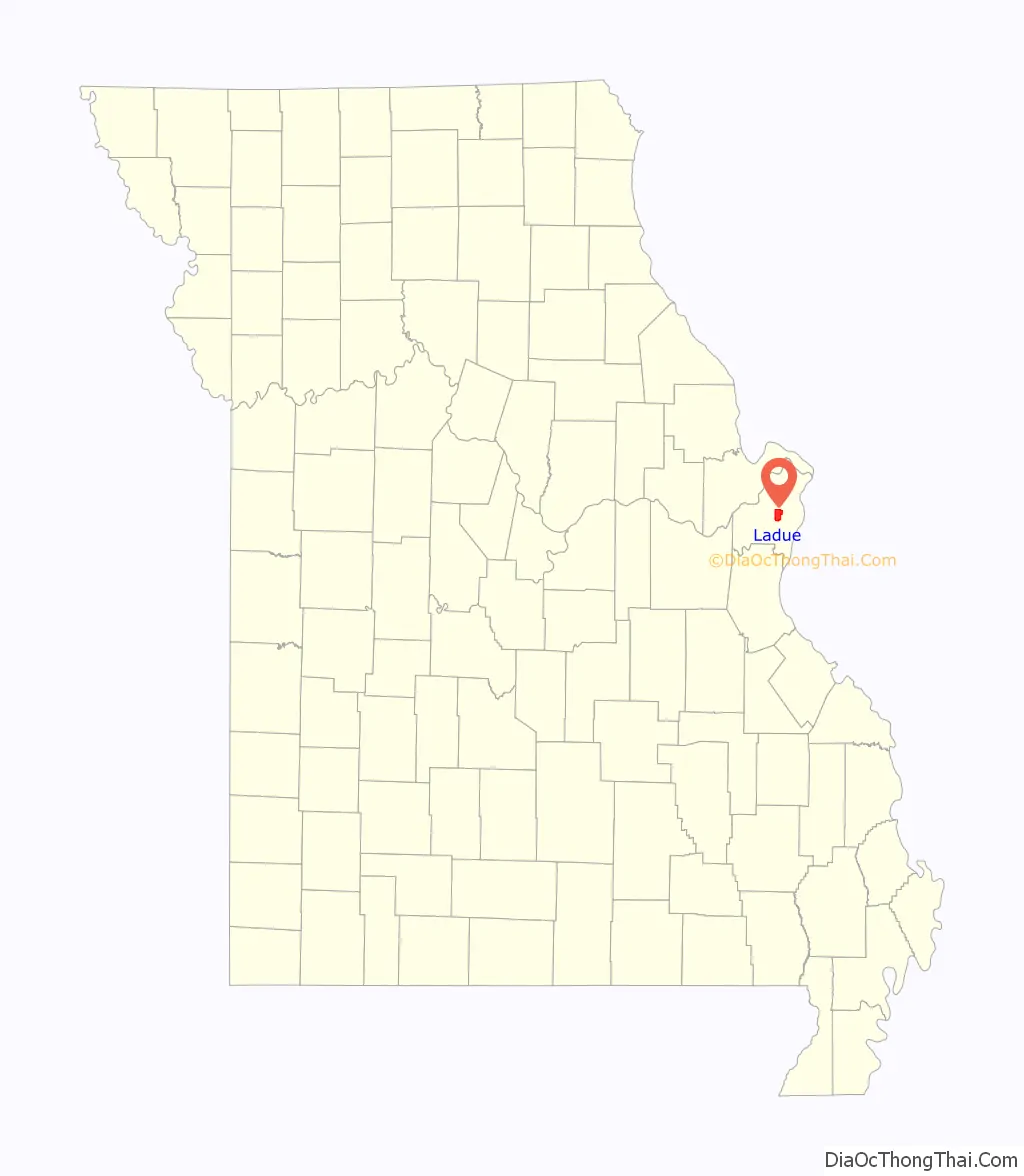
Ladue location map. Where is Ladue city?
History
The historical anecdotes contained in this section were derived from the 2011 book “Ladue Found”, written by Charlene Bry, former editor and owner of “The Ladue News.”
Ladue began as a farming community St. Louis County suburb. After St. Louis City ejected St. Louis County in 1876, Ladue was known as ranges 4 and 5 of “Township 45,” with Clayton being the political hub. Original Township 45 farming families included the Dennys, Dwyers, Conways, McCutcheons, McKnights (all Irish), Litzsinger, von Schraders, Spoedes, Luedloffs, Muellers, Seigers Per 1868 Pitzman map of St. Louis, as well as 1878 and 1909 maps of St. Louis County (all German), LaDues (French), Warsons, Lays, Barnes, Prices, and Watsons (all English). Once automobiles replaced horse and wagon as the primary mode of transportation, farmers in the area began selling portions of their land to city workers who wished to live outside of the urban setting. Three small villages (Village of LaDue, Village of Deer Creek, and the Village of McKnight) merged in 1936 to become what is now known as Ladue. Ladue was named from Ladue Road, the main thoroughfare in the area that led from St. Louis City to wealthy entrepreneur Peter Albert LaDue’s large property at the current intersection of Warson Road and Ladue Road (including St. Louis Country Club). Peter Albert LaDue was born in Kinderhook, New York, in 1821, a descendant of Pierre LaDoux, who arrived from France in the 1600s. He arrived in Saint Louis about 1848 and later became a prominent attorney, alderman, and banker and land speculator.
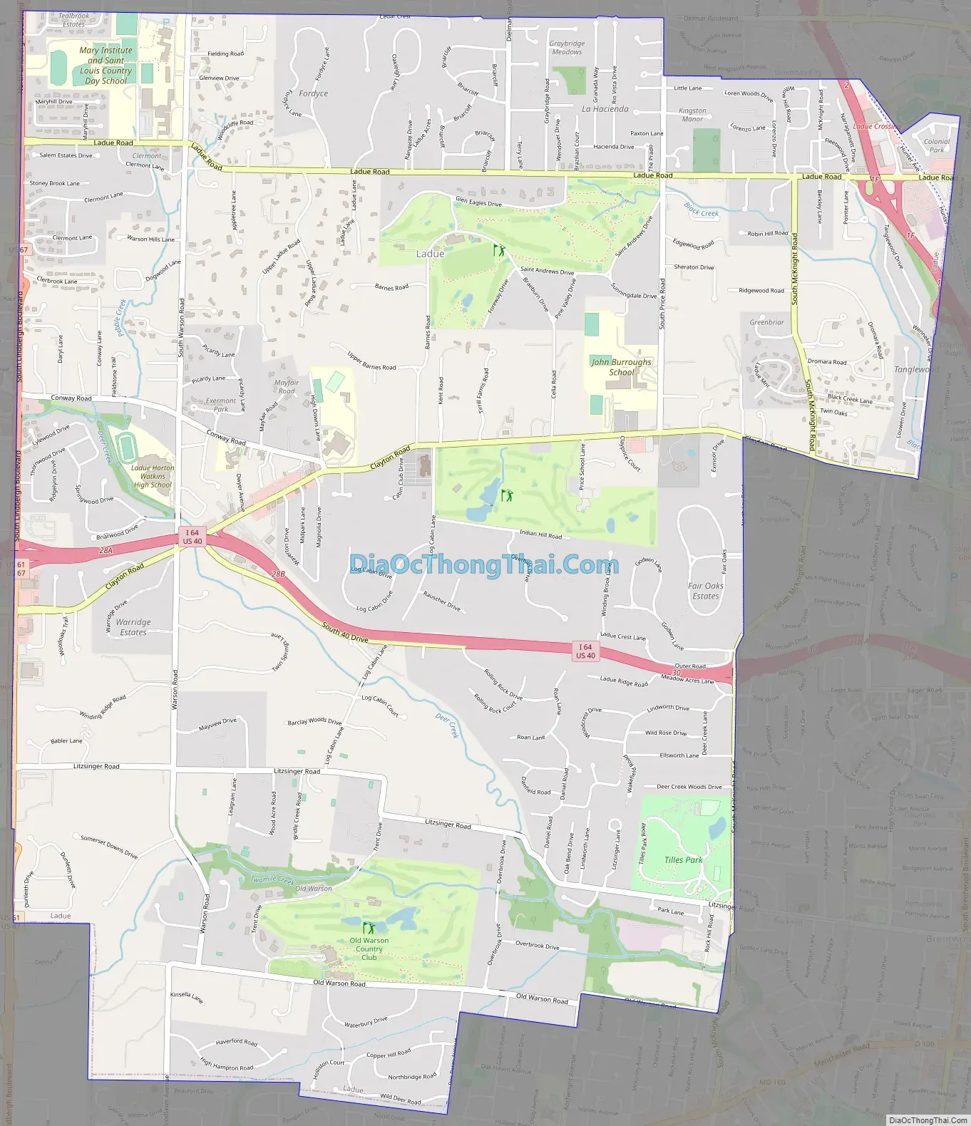
Ladue Road Map
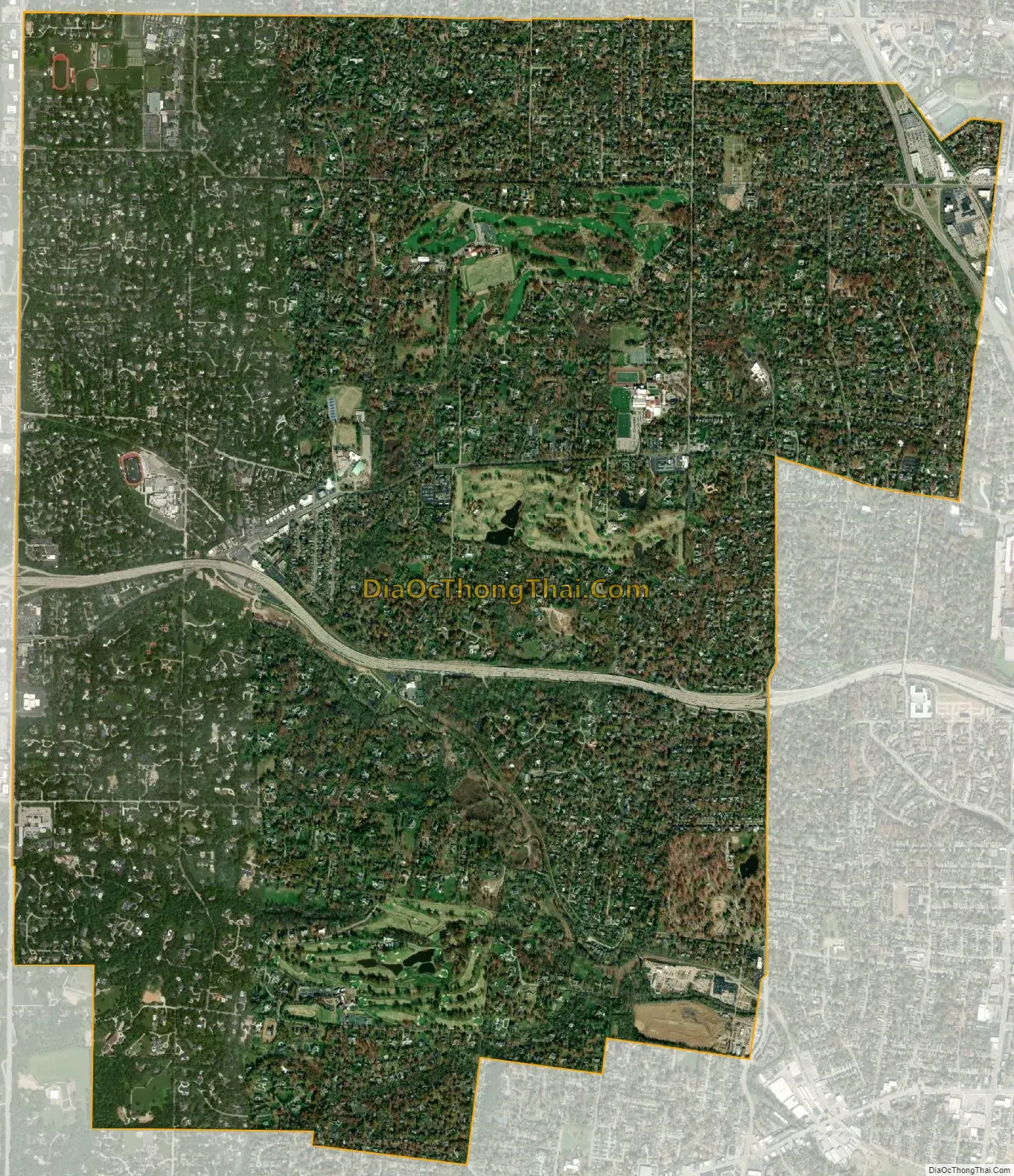
Ladue city Satellite Map
Geography
According to the United States Census Bureau, the city has a total area of 8.55 square miles (22.14 km), all land.
Tilles Park is a large park within Ladue.
See also
Map of Missouri State and its subdivision:- Adair
- Andrew
- Atchison
- Audrain
- Barry
- Barton
- Bates
- Benton
- Bollinger
- Boone
- Buchanan
- Butler
- Caldwell
- Callaway
- Camden
- Cape Girardeau
- Carroll
- Carter
- Cass
- Cedar
- Chariton
- Christian
- Clark
- Clay
- Clinton
- Cole
- Cooper
- Crawford
- Dade
- Dallas
- Daviess
- De Kalb
- Dent
- Douglas
- Dunklin
- Franklin
- Gasconade
- Gentry
- Greene
- Grundy
- Harrison
- Henry
- Hickory
- Holt
- Howard
- Howell
- Iron
- Jackson
- Jasper
- Jefferson
- Johnson
- Knox
- Laclede
- Lafayette
- Lawrence
- Lewis
- Lincoln
- Linn
- Livingston
- Macon
- Madison
- Maries
- Marion
- McDonald
- Mercer
- Miller
- Mississippi
- Moniteau
- Monroe
- Montgomery
- Morgan
- New Madrid
- Newton
- Nodaway
- Oregon
- Osage
- Ozark
- Pemiscot
- Perry
- Pettis
- Phelps
- Pike
- Platte
- Polk
- Pulaski
- Putnam
- Ralls
- Randolph
- Ray
- Reynolds
- Ripley
- Saint Charles
- Saint Clair
- Saint Francois
- Saint Louis
- Sainte Genevieve
- Saline
- Schuyler
- Scotland
- Scott
- Shannon
- Shelby
- Stoddard
- Stone
- Sullivan
- Taney
- Texas
- Vernon
- Warren
- Washington
- Wayne
- Webster
- Worth
- Wright
- Alabama
- Alaska
- Arizona
- Arkansas
- California
- Colorado
- Connecticut
- Delaware
- District of Columbia
- Florida
- Georgia
- Hawaii
- Idaho
- Illinois
- Indiana
- Iowa
- Kansas
- Kentucky
- Louisiana
- Maine
- Maryland
- Massachusetts
- Michigan
- Minnesota
- Mississippi
- Missouri
- Montana
- Nebraska
- Nevada
- New Hampshire
- New Jersey
- New Mexico
- New York
- North Carolina
- North Dakota
- Ohio
- Oklahoma
- Oregon
- Pennsylvania
- Rhode Island
- South Carolina
- South Dakota
- Tennessee
- Texas
- Utah
- Vermont
- Virginia
- Washington
- West Virginia
- Wisconsin
- Wyoming


