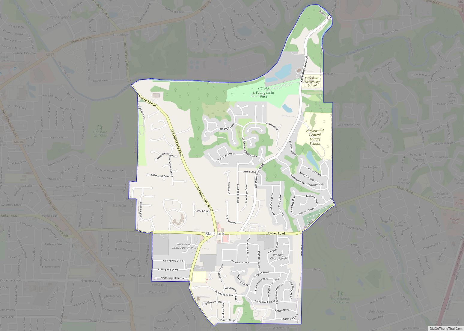
Maplewood is an inner-ring suburb of St. Louis, located in St. Louis County, Missouri, United States.
| Name: | Maplewood city |
|---|---|
| LSAD Code: | 25 |
| LSAD Description: | city (suffix) |
| State: | Missouri |
| County: | St. Louis County |
| Elevation: | 518 ft (158 m) |
| Total Area: | 1.56 sq mi (4.05 km²) |
| Land Area: | 1.56 sq mi (4.05 km²) |
| Water Area: | 0.00 sq mi (0.00 km²) |
| Total Population: | 8,269 |
| Population Density: | 5,283.71/sq mi (2,040.07/km²) |
| FIPS code: | 2945830 |
| GNISfeature ID: | 2395847 |
Online Interactive Map
Click on ![]() to view map in "full screen" mode.
to view map in "full screen" mode.
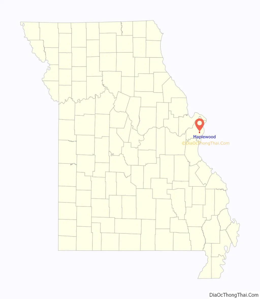
Maplewood location map. Where is Maplewood city?
History
Maplewood was established around the turn of the 20th century. Maplewood was one of the early suburbs of St. Louis. Located just outside the city limits, Maplewood was located at the end of one of St. Louis’s streetcar lines and was also located near major railroads.
It was built as a bedroom community. Advertising suggested that people should get away from the city (in an era of common and sooty commercial, industrial, and domestic coal burning) and enjoy the fresh air of less densely populated areas like Maplewood. Maplewood’s historic residential areas were mostly built from 1900 to 1910 and a number of well-preserved homes remain. Several of these homes have remained in the same family for generations.
Maplewood is currently being revitalized by an influx of restaurants, businesses, and shops around Manchester Ave., Sutton Ave., and the Greenwood Historic District.
Under a local nuisance ordinance, a person who calls the police for domestic violence more than twice in 180 days can face eviction. In 2012, a woman was evicted from her home after she had called the police four times to request protection from physical assaults by her ex-boyfriend. She became homeless in the process. In 2017, the ACLU filed a lawsuit on behalf of the victim, claiming that the Maplewood nuisance ordinance violates the First Amendment right to petition the government for assistance, as well as the rights to travel, equal protection and due process. In 2018, the ordinance was revised to eliminate language that allowed officials to fine or evict people who were victims of crime. In 2021, residents of the city elected Nikylan Knapper as the city’s first black mayor.
Maplewood Road Map
Maplewood city Satellite Map
Geography
According to the United States Census Bureau, the city has a total area of 1.56 square miles (4.04 km), all land.
See also
Map of Missouri State and its subdivision:- Adair
- Andrew
- Atchison
- Audrain
- Barry
- Barton
- Bates
- Benton
- Bollinger
- Boone
- Buchanan
- Butler
- Caldwell
- Callaway
- Camden
- Cape Girardeau
- Carroll
- Carter
- Cass
- Cedar
- Chariton
- Christian
- Clark
- Clay
- Clinton
- Cole
- Cooper
- Crawford
- Dade
- Dallas
- Daviess
- De Kalb
- Dent
- Douglas
- Dunklin
- Franklin
- Gasconade
- Gentry
- Greene
- Grundy
- Harrison
- Henry
- Hickory
- Holt
- Howard
- Howell
- Iron
- Jackson
- Jasper
- Jefferson
- Johnson
- Knox
- Laclede
- Lafayette
- Lawrence
- Lewis
- Lincoln
- Linn
- Livingston
- Macon
- Madison
- Maries
- Marion
- McDonald
- Mercer
- Miller
- Mississippi
- Moniteau
- Monroe
- Montgomery
- Morgan
- New Madrid
- Newton
- Nodaway
- Oregon
- Osage
- Ozark
- Pemiscot
- Perry
- Pettis
- Phelps
- Pike
- Platte
- Polk
- Pulaski
- Putnam
- Ralls
- Randolph
- Ray
- Reynolds
- Ripley
- Saint Charles
- Saint Clair
- Saint Francois
- Saint Louis
- Sainte Genevieve
- Saline
- Schuyler
- Scotland
- Scott
- Shannon
- Shelby
- Stoddard
- Stone
- Sullivan
- Taney
- Texas
- Vernon
- Warren
- Washington
- Wayne
- Webster
- Worth
- Wright
- Alabama
- Alaska
- Arizona
- Arkansas
- California
- Colorado
- Connecticut
- Delaware
- District of Columbia
- Florida
- Georgia
- Hawaii
- Idaho
- Illinois
- Indiana
- Iowa
- Kansas
- Kentucky
- Louisiana
- Maine
- Maryland
- Massachusetts
- Michigan
- Minnesota
- Mississippi
- Missouri
- Montana
- Nebraska
- Nevada
- New Hampshire
- New Jersey
- New Mexico
- New York
- North Carolina
- North Dakota
- Ohio
- Oklahoma
- Oregon
- Pennsylvania
- Rhode Island
- South Carolina
- South Dakota
- Tennessee
- Texas
- Utah
- Vermont
- Virginia
- Washington
- West Virginia
- Wisconsin
- Wyoming

