Morrisville is a city in southern Polk County, Missouri, United States. The population was 388 at the 2010 census. It is part of the Springfield, Missouri Metropolitan Statistical Area.
| Name: | Morrisville town |
|---|---|
| LSAD Code: | 43 |
| LSAD Description: | town (suffix) |
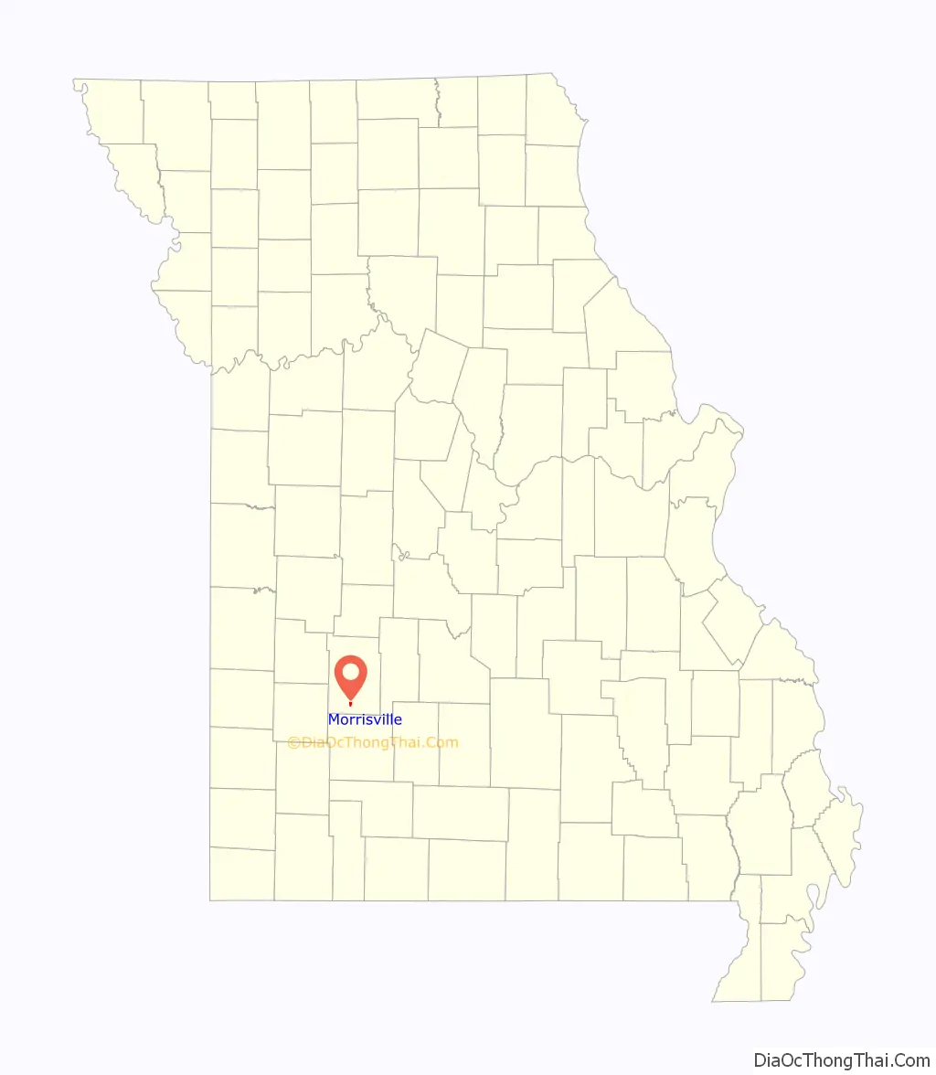
| State: | Missouri |
| County: | Polk County |
| Elevation: | 1,135 ft (346 m) |
| Total Area: | 0.64 sq mi (1.66 km²) |
| Land Area: | 0.64 sq mi (1.66 km²) |
| Water Area: | 0.00 sq mi (0.01 km²) |
| Total Population: | 376 |
| Population Density: | 586.58/sq mi (226.63/km²) |
| ZIP code: | 65645, 65710 |
| Area code: | 417 |
| FIPS code: | 2950078 |
| GNISfeature ID: | 2396784 |
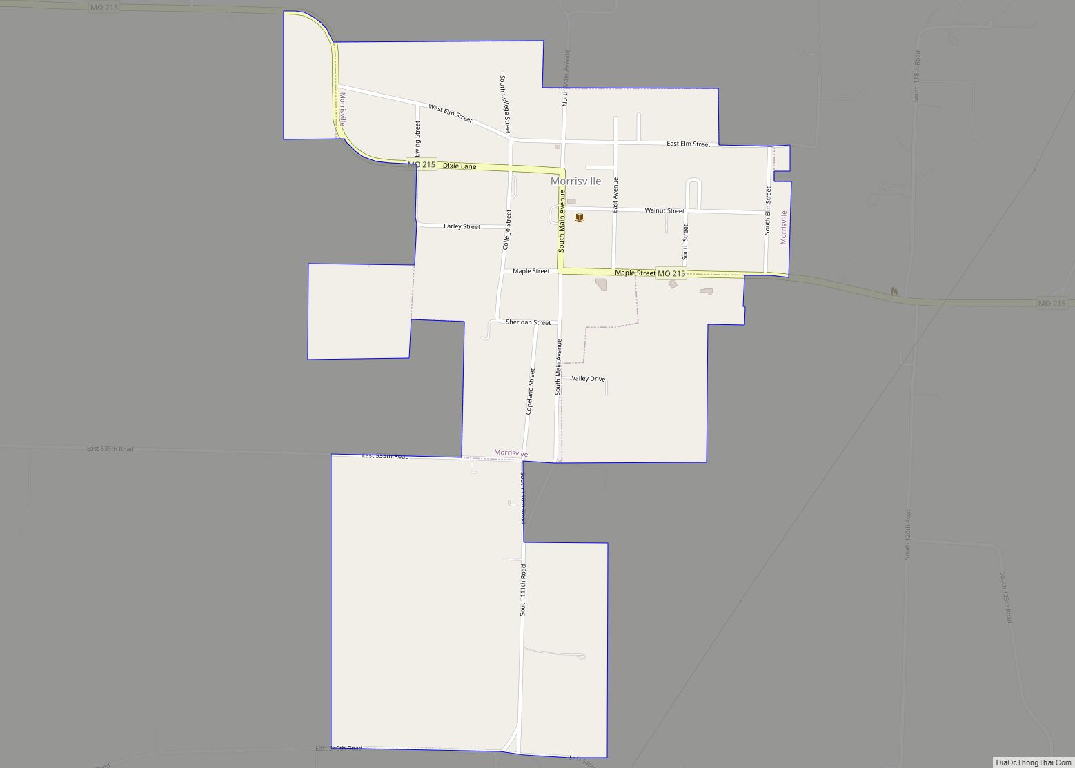
Online Interactive Map
Click on ![]() to view map in "full screen" mode.
to view map in "full screen" mode.
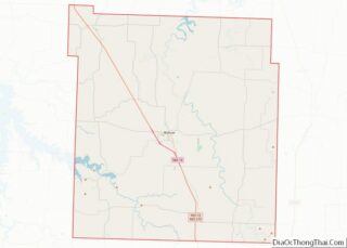
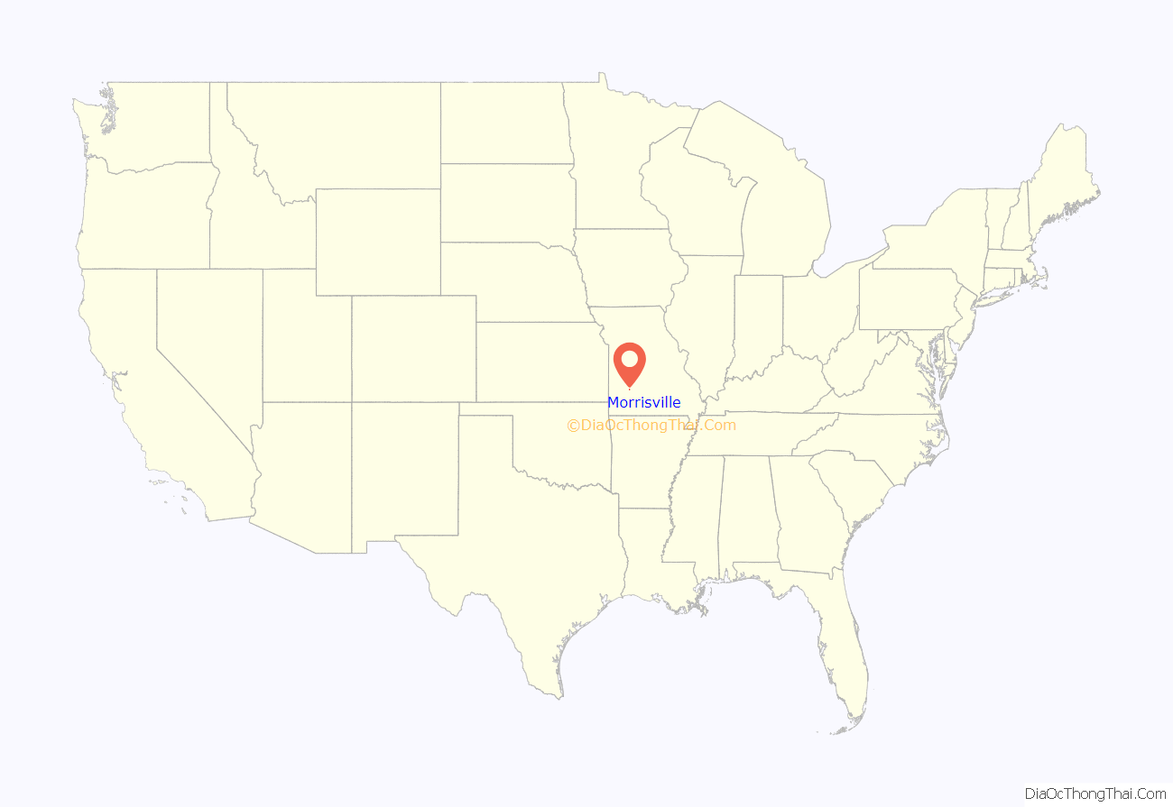
Morrisville location map. Where is Morrisville town?
History
Morrisville was founded in 1870 by Morris Mitchell, and named after him. A post office called Morrisville has been in operation since 1872.
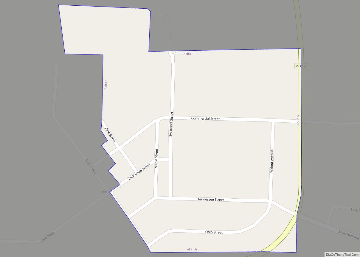
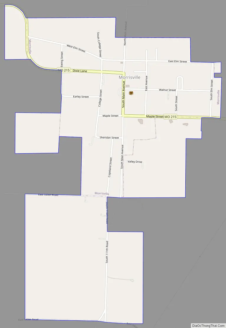
Morrisville Road Map
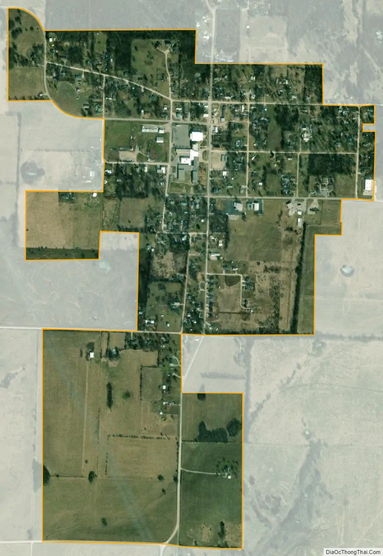
Morrisville city Satellite Map
Geography
Morrisville is located on Missouri Route 215 approximately 5.5 miles east of Eudora and 4.5 miles west of Brighton. The Little Sac River flows past about two miles to the southeast.
According to the United States Census Bureau, the city has a total area of 0.64 square miles (1.66 km), all land.
See also
Map of Missouri State and its subdivision:- Adair
- Andrew
- Atchison
- Audrain
- Barry
- Barton
- Bates
- Benton
- Bollinger
- Boone
- Buchanan
- Butler
- Caldwell
- Callaway
- Camden
- Cape Girardeau
- Carroll
- Carter
- Cass
- Cedar
- Chariton
- Christian
- Clark
- Clay
- Clinton
- Cole
- Cooper
- Crawford
- Dade
- Dallas
- Daviess
- De Kalb
- Dent
- Douglas
- Dunklin
- Franklin
- Gasconade
- Gentry
- Greene
- Grundy
- Harrison
- Henry
- Hickory
- Holt
- Howard
- Howell
- Iron
- Jackson
- Jasper
- Jefferson
- Johnson
- Knox
- Laclede
- Lafayette
- Lawrence
- Lewis
- Lincoln
- Linn
- Livingston
- Macon
- Madison
- Maries
- Marion
- McDonald
- Mercer
- Miller
- Mississippi
- Moniteau
- Monroe
- Montgomery
- Morgan
- New Madrid
- Newton
- Nodaway
- Oregon
- Osage
- Ozark
- Pemiscot
- Perry
- Pettis
- Phelps
- Pike
- Platte
- Polk
- Pulaski
- Putnam
- Ralls
- Randolph
- Ray
- Reynolds
- Ripley
- Saint Charles
- Saint Clair
- Saint Francois
- Saint Louis
- Sainte Genevieve
- Saline
- Schuyler
- Scotland
- Scott
- Shannon
- Shelby
- Stoddard
- Stone
- Sullivan
- Taney
- Texas
- Vernon
- Warren
- Washington
- Wayne
- Webster
- Worth
- Wright
- Alabama
- Alaska
- Arizona
- Arkansas
- California
- Colorado
- Connecticut
- Delaware
- District of Columbia
- Florida
- Georgia
- Hawaii
- Idaho
- Illinois
- Indiana
- Iowa
- Kansas
- Kentucky
- Louisiana
- Maine
- Maryland
- Massachusetts
- Michigan
- Minnesota
- Mississippi
- Missouri
- Montana
- Nebraska
- Nevada
- New Hampshire
- New Jersey
- New Mexico
- New York
- North Carolina
- North Dakota
- Ohio
- Oklahoma
- Oregon
- Pennsylvania
- Rhode Island
- South Carolina
- South Dakota
- Tennessee
- Texas
- Utah
- Vermont
- Virginia
- Washington
- West Virginia
- Wisconsin
- Wyoming