Norborne is a city in southwest Carroll County, Missouri, United States. The population was 634 at the 2020 census.
Norborne was founded in 1868 by Norborne B. Coats, a civil engineer for the railroad. The town has numerous small businesses but is mostly an agricultural community. Norborne is the self-proclaimed Soybean Capital of the World and holds a Soybean Festival every year during the weekend of the second Saturday in August.
| Name: | Norborne city |
|---|---|
| LSAD Code: | 25 |
| LSAD Description: | city (suffix) |
| State: | Missouri |
| County: | Carroll County |
| Elevation: | 689 ft (210 m) |
| Total Area: | 0.65 sq mi (1.68 km²) |
| Land Area: | 0.65 sq mi (1.68 km²) |
| Water Area: | 0.00 sq mi (0.00 km²) |
| Total Population: | 634 |
| Population Density: | 979.91/sq mi (378.11/km²) |
| ZIP code: | 64668 |
| Area code: | 660 |
| FIPS code: | 2952760 |
| GNISfeature ID: | 2395245 |
| Website: | https://cityofnorborne.org |
Online Interactive Map
Click on ![]() to view map in "full screen" mode.
to view map in "full screen" mode.
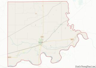
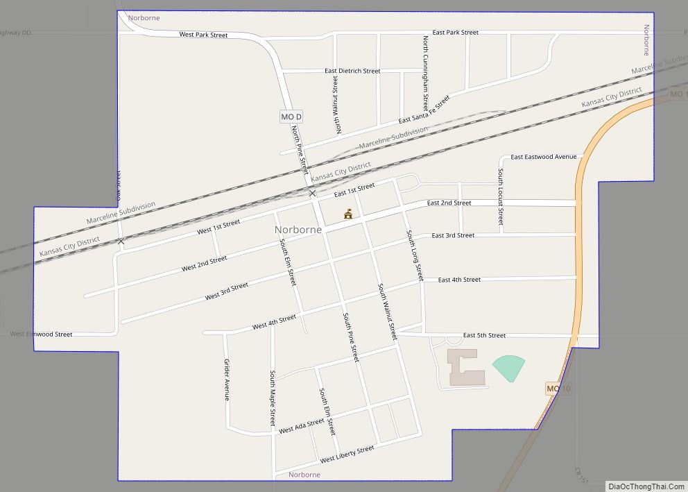
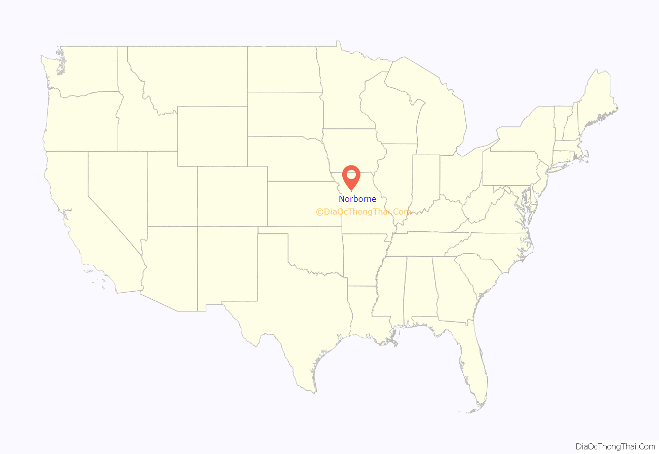
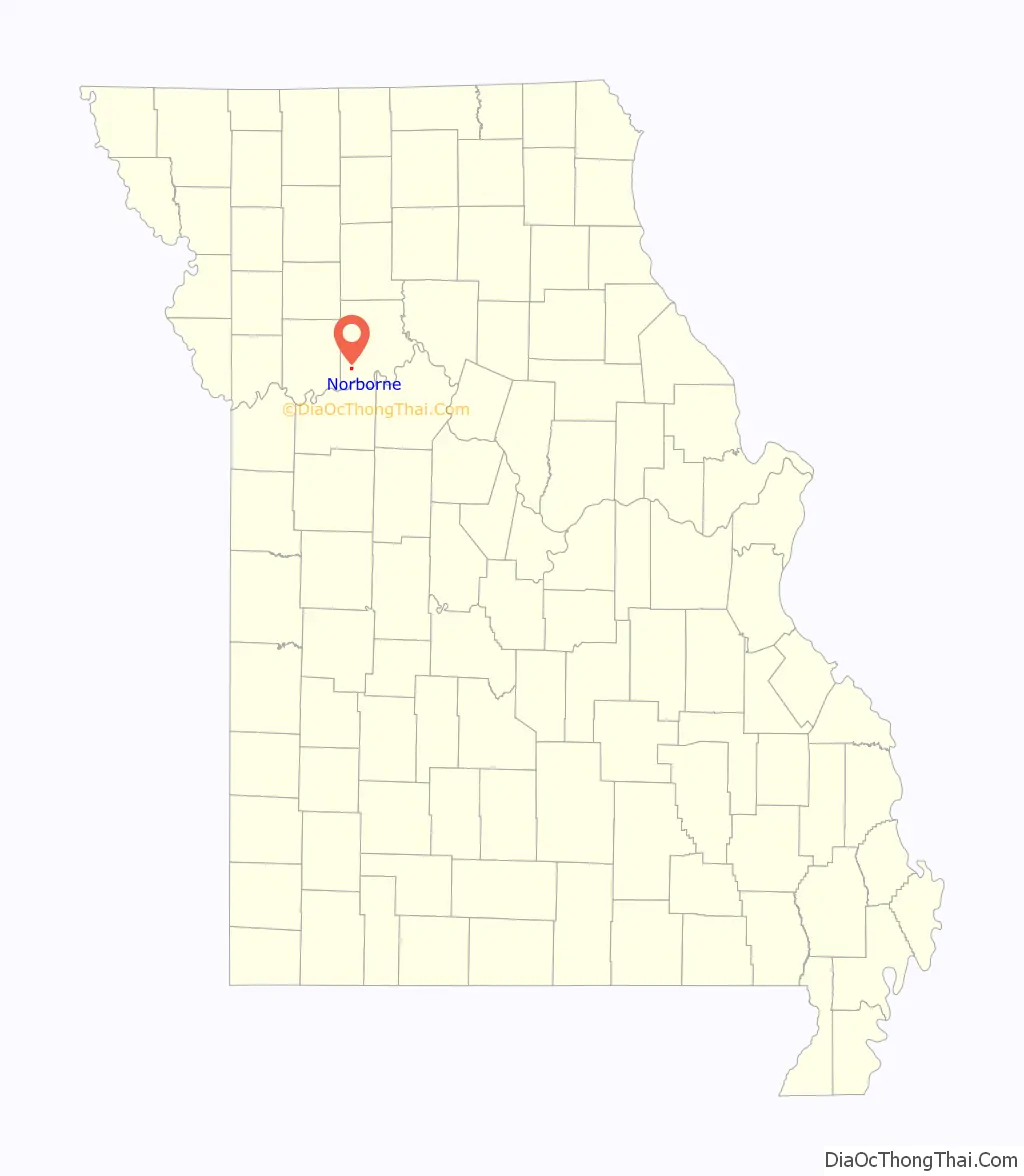
Norborne location map. Where is Norborne city?
History
Norborne was laid out in 1868. The community was named after one of its founders, Norborne B. Coats. A post office called Norborne has been in operation since 1869.
The Farmers Bank Building was listed on the National Register of Historic Places in 1994.
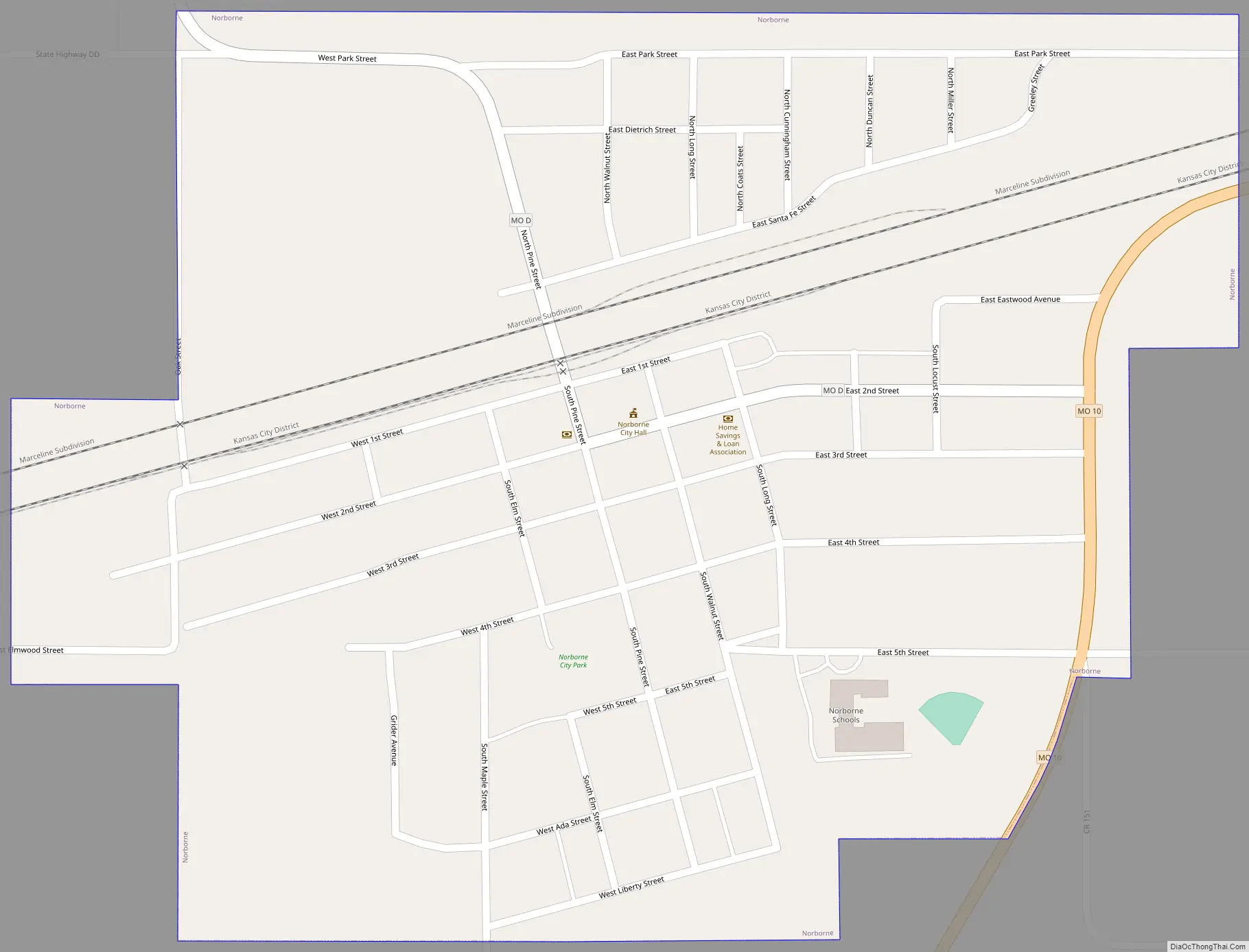
Norborne Road Map
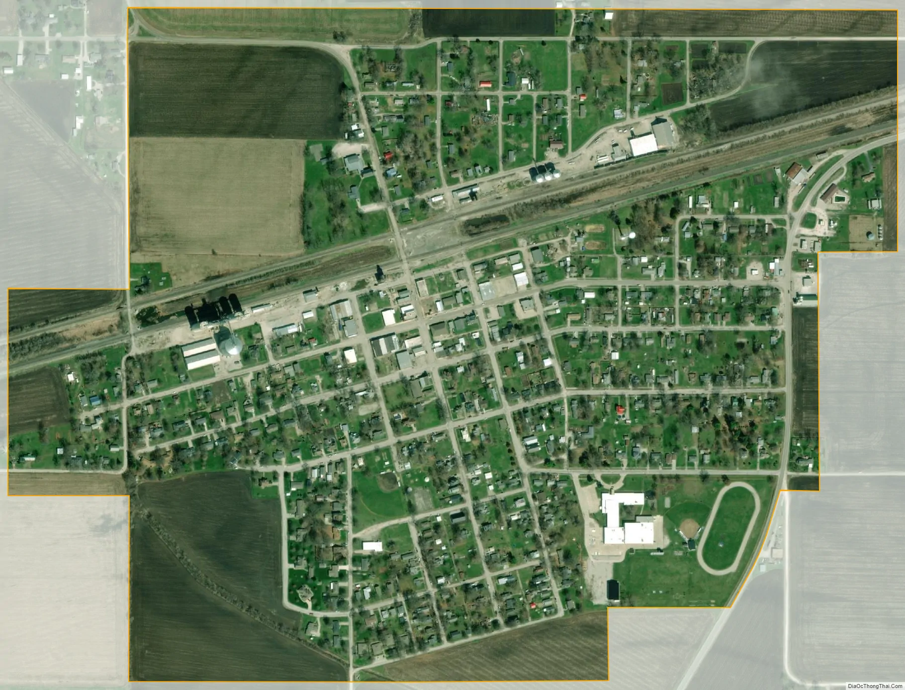
Norborne city Satellite Map
Geography
Norborne is located on Missouri Route 10 approximately ten miles west-southwest of Carrollton and 15 miles east of Richmond in adjacent Ray County. The Missouri River is five miles to the south.
The Atchison Topeka and Santa Fe and the Wabash railroads both pass through the community.
According to the United States Census Bureau, the city has a total area of 0.65 square miles (1.68 km), all land.
See also
Map of Missouri State and its subdivision:- Adair
- Andrew
- Atchison
- Audrain
- Barry
- Barton
- Bates
- Benton
- Bollinger
- Boone
- Buchanan
- Butler
- Caldwell
- Callaway
- Camden
- Cape Girardeau
- Carroll
- Carter
- Cass
- Cedar
- Chariton
- Christian
- Clark
- Clay
- Clinton
- Cole
- Cooper
- Crawford
- Dade
- Dallas
- Daviess
- De Kalb
- Dent
- Douglas
- Dunklin
- Franklin
- Gasconade
- Gentry
- Greene
- Grundy
- Harrison
- Henry
- Hickory
- Holt
- Howard
- Howell
- Iron
- Jackson
- Jasper
- Jefferson
- Johnson
- Knox
- Laclede
- Lafayette
- Lawrence
- Lewis
- Lincoln
- Linn
- Livingston
- Macon
- Madison
- Maries
- Marion
- McDonald
- Mercer
- Miller
- Mississippi
- Moniteau
- Monroe
- Montgomery
- Morgan
- New Madrid
- Newton
- Nodaway
- Oregon
- Osage
- Ozark
- Pemiscot
- Perry
- Pettis
- Phelps
- Pike
- Platte
- Polk
- Pulaski
- Putnam
- Ralls
- Randolph
- Ray
- Reynolds
- Ripley
- Saint Charles
- Saint Clair
- Saint Francois
- Saint Louis
- Sainte Genevieve
- Saline
- Schuyler
- Scotland
- Scott
- Shannon
- Shelby
- Stoddard
- Stone
- Sullivan
- Taney
- Texas
- Vernon
- Warren
- Washington
- Wayne
- Webster
- Worth
- Wright
- Alabama
- Alaska
- Arizona
- Arkansas
- California
- Colorado
- Connecticut
- Delaware
- District of Columbia
- Florida
- Georgia
- Hawaii
- Idaho
- Illinois
- Indiana
- Iowa
- Kansas
- Kentucky
- Louisiana
- Maine
- Maryland
- Massachusetts
- Michigan
- Minnesota
- Mississippi
- Missouri
- Montana
- Nebraska
- Nevada
- New Hampshire
- New Jersey
- New Mexico
- New York
- North Carolina
- North Dakota
- Ohio
- Oklahoma
- Oregon
- Pennsylvania
- Rhode Island
- South Carolina
- South Dakota
- Tennessee
- Texas
- Utah
- Vermont
- Virginia
- Washington
- West Virginia
- Wisconsin
- Wyoming