Orrick is a town in Ray County, Missouri, and part of the Kansas City metropolitan area within the United States. The population was 753 at the 2020 census.
| Name: | Orrick city |
|---|---|
| LSAD Code: | 25 |
| LSAD Description: | city (suffix) |
| State: | Missouri |
| County: | Ray County |
| Elevation: | 722 ft (220 m) |
| Total Area: | 1.33 sq mi (3.46 km²) |
| Land Area: | 1.33 sq mi (3.46 km²) |
| Water Area: | 0.00 sq mi (0.00 km²) |
| Total Population: | 753 |
| Population Density: | 564.04/sq mi (217.83/km²) |
| ZIP code: | 64077 |
| Area code: | 816 |
| FIPS code: | 2954938 |
| GNISfeature ID: | 2396085 |
Online Interactive Map
Click on ![]() to view map in "full screen" mode.
to view map in "full screen" mode.
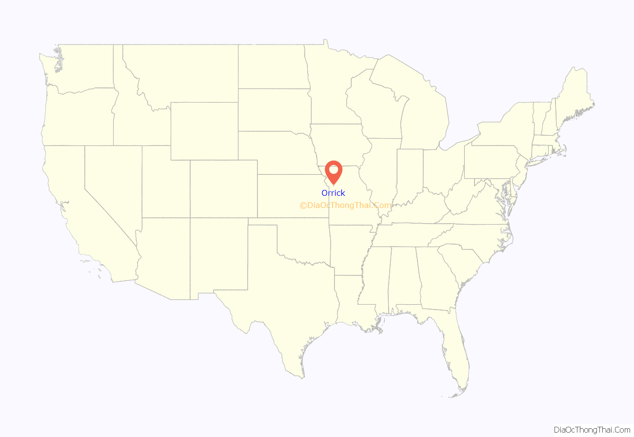
Orrick location map. Where is Orrick city?
History
The first community in the area was Albany when it was established by Ely Carter in 1854. When he applied for a post office it was denied because there was another Albany already in the state and he used the name of his wife Ada for the post office but still continued to call the town Albany.
“Bloody Bill” Anderson was killed during the American Civil War during the Battle of Albany on October 24, 1864.
Albany formally incorporated in 1871 however by then St. Louis, Kansas City and Northern Star railroad (the Wabash Railroad) laid tracks a mile south in 1868 and 1869 and a new community of Orrick sprung up around them.
Orrick itself was laid out by the railroad and was named in honor of W. W. Orrick who had drawn up the plat. Orrick was incorporated in 1873.
Tornadoes
On January 24, 1967, an unusual winter tornado outbreak destroyed the town’s high school killing two students.
On May 10, 2014, a severe weather outbreak spawned a tornado just southwest of Orrick. As the tornado was heading towards Orrick it gained strength reaching EF2 intensity as it went through Orrick.
Orrick Road Map
Orrick city Satellite Map
Geography
According to the United States Census Bureau, the city has a total area of 1.34 square miles (3.47 km), all of it land.
See also
Map of Missouri State and its subdivision:- Adair
- Andrew
- Atchison
- Audrain
- Barry
- Barton
- Bates
- Benton
- Bollinger
- Boone
- Buchanan
- Butler
- Caldwell
- Callaway
- Camden
- Cape Girardeau
- Carroll
- Carter
- Cass
- Cedar
- Chariton
- Christian
- Clark
- Clay
- Clinton
- Cole
- Cooper
- Crawford
- Dade
- Dallas
- Daviess
- De Kalb
- Dent
- Douglas
- Dunklin
- Franklin
- Gasconade
- Gentry
- Greene
- Grundy
- Harrison
- Henry
- Hickory
- Holt
- Howard
- Howell
- Iron
- Jackson
- Jasper
- Jefferson
- Johnson
- Knox
- Laclede
- Lafayette
- Lawrence
- Lewis
- Lincoln
- Linn
- Livingston
- Macon
- Madison
- Maries
- Marion
- McDonald
- Mercer
- Miller
- Mississippi
- Moniteau
- Monroe
- Montgomery
- Morgan
- New Madrid
- Newton
- Nodaway
- Oregon
- Osage
- Ozark
- Pemiscot
- Perry
- Pettis
- Phelps
- Pike
- Platte
- Polk
- Pulaski
- Putnam
- Ralls
- Randolph
- Ray
- Reynolds
- Ripley
- Saint Charles
- Saint Clair
- Saint Francois
- Saint Louis
- Sainte Genevieve
- Saline
- Schuyler
- Scotland
- Scott
- Shannon
- Shelby
- Stoddard
- Stone
- Sullivan
- Taney
- Texas
- Vernon
- Warren
- Washington
- Wayne
- Webster
- Worth
- Wright
- Alabama
- Alaska
- Arizona
- Arkansas
- California
- Colorado
- Connecticut
- Delaware
- District of Columbia
- Florida
- Georgia
- Hawaii
- Idaho
- Illinois
- Indiana
- Iowa
- Kansas
- Kentucky
- Louisiana
- Maine
- Maryland
- Massachusetts
- Michigan
- Minnesota
- Mississippi
- Missouri
- Montana
- Nebraska
- Nevada
- New Hampshire
- New Jersey
- New Mexico
- New York
- North Carolina
- North Dakota
- Ohio
- Oklahoma
- Oregon
- Pennsylvania
- Rhode Island
- South Carolina
- South Dakota
- Tennessee
- Texas
- Utah
- Vermont
- Virginia
- Washington
- West Virginia
- Wisconsin
- Wyoming
