Raymore is a city in Cass County, Missouri, United States, within the Kansas City Metropolitan Area. Raymore is one of the fastest-growing cities in the state of Missouri. The population was 21,676 at the 2020 census.
| Name: | Raymore city |
|---|---|
| LSAD Code: | 25 |
| LSAD Description: | city (suffix) |
| State: | Missouri |
| County: | Cass County |
| Founded: | 1874 |
| Incorporated: | 1877 |
| Elevation: | 1,109 ft (338 m) |
| Total Area: | 17.65 sq mi (45.72 km²) |
| Land Area: | 17.31 sq mi (44.84 km²) |
| Water Area: | 0.34 sq mi (0.88 km²) |
| Total Population: | 22,941 |
| Population Density: | 1,325.15/sq mi (511.64/km²) |
| ZIP code: | 64083 |
| Area code: | 816 |
| FIPS code: | 2960752 |
| GNISfeature ID: | 2396328 |
| Website: | http://www.raymore.com |
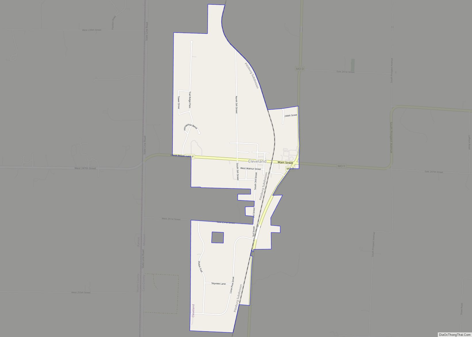
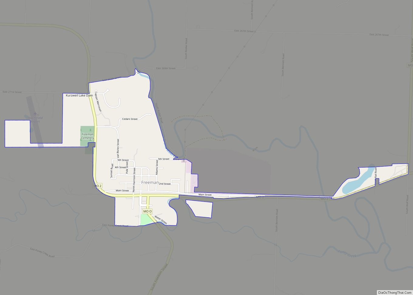
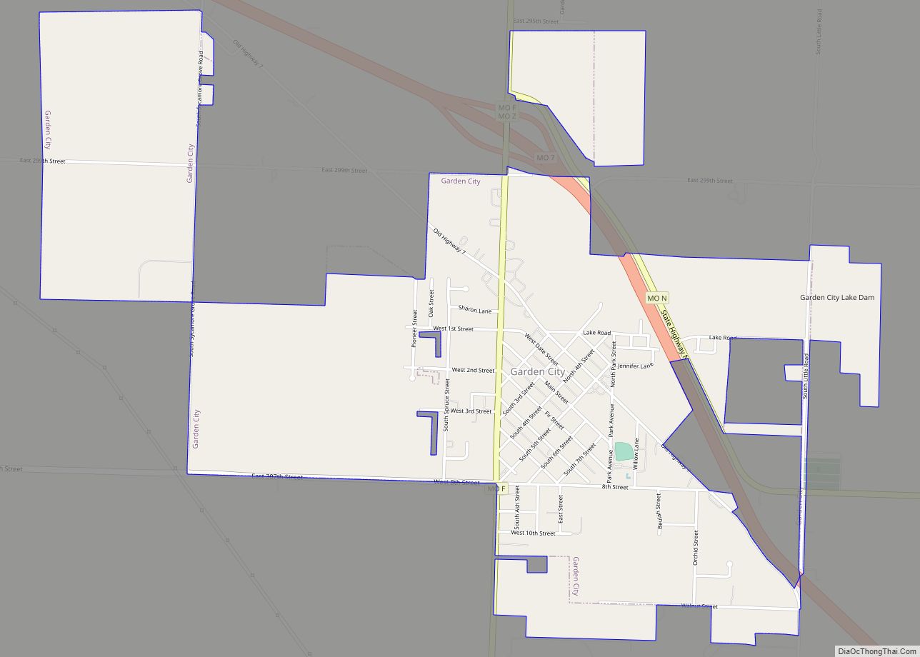
Online Interactive Map
Click on ![]() to view map in "full screen" mode.
to view map in "full screen" mode.
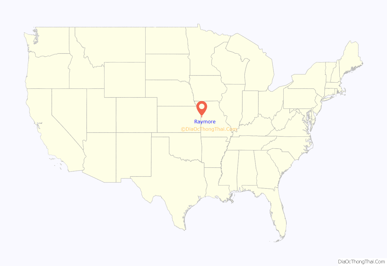
Raymore location map. Where is Raymore city?
History
Raymore was platted in 1874. The name Raymore is an amalgamation of the surnames of two railroad men, Ray and Moore. A post office called Raymore has been in operation since 1872.
The Watkins Family Farm Historic District was listed on the National Register of Historic Places in 2007.
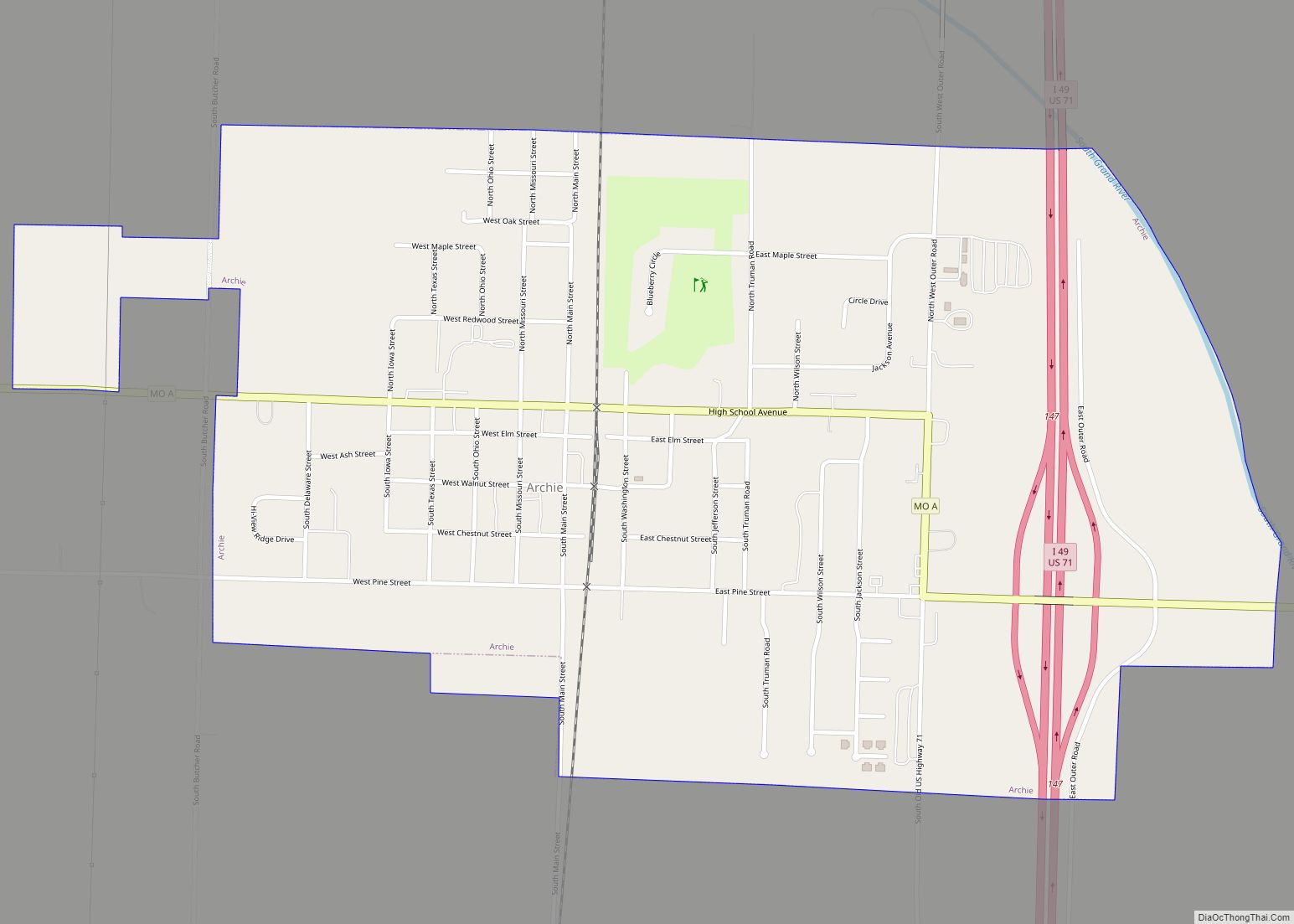
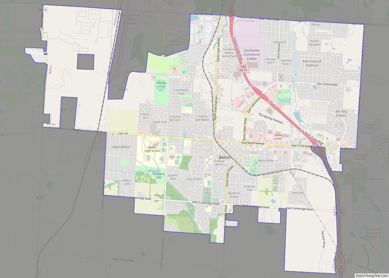
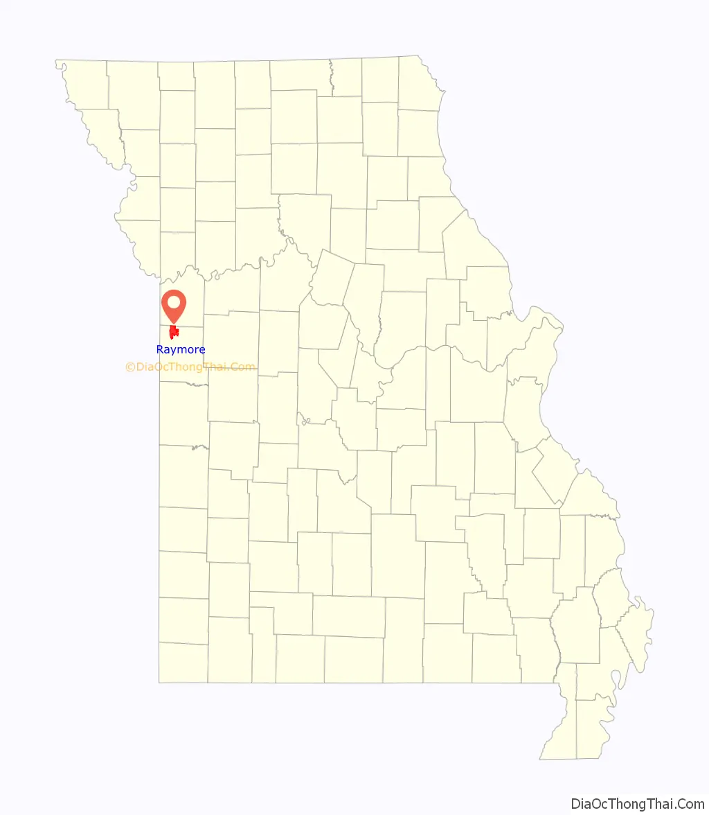
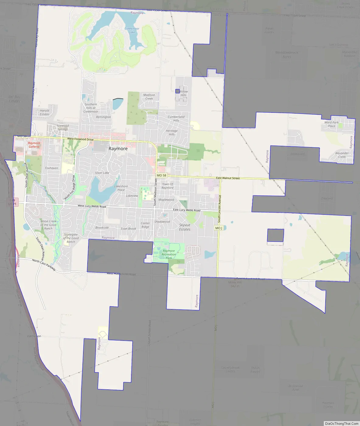
Raymore Road Map
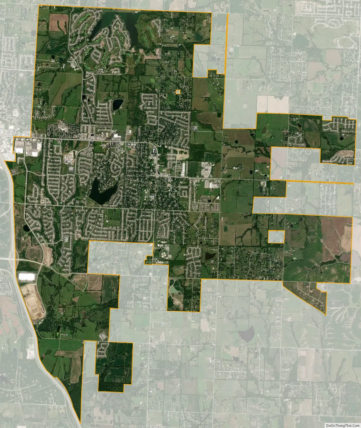
Raymore city Satellite Map
Geography
According to the United States Census Bureau, the city has a total area of 17.75 square miles (45.97 km), of which 17.58 square miles (45.53 km) is land and 0.17 square miles (0.44 km) is water.
See also
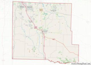
Map of Missouri State and its subdivision:- Adair
- Andrew
- Atchison
- Audrain
- Barry
- Barton
- Bates
- Benton
- Bollinger
- Boone
- Buchanan
- Butler
- Caldwell
- Callaway
- Camden
- Cape Girardeau
- Carroll
- Carter
- Cass
- Cedar
- Chariton
- Christian
- Clark
- Clay
- Clinton
- Cole
- Cooper
- Crawford
- Dade
- Dallas
- Daviess
- De Kalb
- Dent
- Douglas
- Dunklin
- Franklin
- Gasconade
- Gentry
- Greene
- Grundy
- Harrison
- Henry
- Hickory
- Holt
- Howard
- Howell
- Iron
- Jackson
- Jasper
- Jefferson
- Johnson
- Knox
- Laclede
- Lafayette
- Lawrence
- Lewis
- Lincoln
- Linn
- Livingston
- Macon
- Madison
- Maries
- Marion
- McDonald
- Mercer
- Miller
- Mississippi
- Moniteau
- Monroe
- Montgomery
- Morgan
- New Madrid
- Newton
- Nodaway
- Oregon
- Osage
- Ozark
- Pemiscot
- Perry
- Pettis
- Phelps
- Pike
- Platte
- Polk
- Pulaski
- Putnam
- Ralls
- Randolph
- Ray
- Reynolds
- Ripley
- Saint Charles
- Saint Clair
- Saint Francois
- Saint Louis
- Sainte Genevieve
- Saline
- Schuyler
- Scotland
- Scott
- Shannon
- Shelby
- Stoddard
- Stone
- Sullivan
- Taney
- Texas
- Vernon
- Warren
- Washington
- Wayne
- Webster
- Worth
- Wright
- Alabama
- Alaska
- Arizona
- Arkansas
- California
- Colorado
- Connecticut
- Delaware
- District of Columbia
- Florida
- Georgia
- Hawaii
- Idaho
- Illinois
- Indiana
- Iowa
- Kansas
- Kentucky
- Louisiana
- Maine
- Maryland
- Massachusetts
- Michigan
- Minnesota
- Mississippi
- Missouri
- Montana
- Nebraska
- Nevada
- New Hampshire
- New Jersey
- New Mexico
- New York
- North Carolina
- North Dakota
- Ohio
- Oklahoma
- Oregon
- Pennsylvania
- Rhode Island
- South Carolina
- South Dakota
- Tennessee
- Texas
- Utah
- Vermont
- Virginia
- Washington
- West Virginia
- Wisconsin
- Wyoming