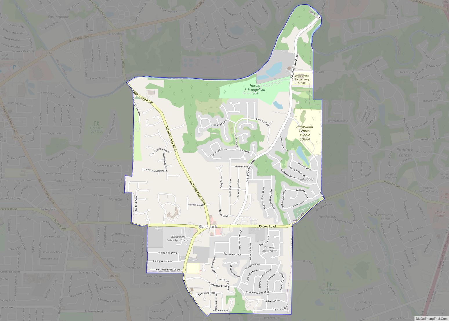
Sappington is an unincorporated census-designated place in St. Louis County, Missouri, United States. The population was 7,995 at the 2020 census.
| Name: | Sappington CDP |
|---|---|
| LSAD Code: | 57 |
| LSAD Description: | CDP (suffix) |
| State: | Missouri |
| County: | St. Louis County |
| Elevation: | 617 ft (188 m) |
| Total Area: | 2.39 sq mi (6.20 km²) |
| Land Area: | 2.39 sq mi (6.20 km²) |
| Water Area: | 0.00 sq mi (0.00 km²) |
| Total Population: | 7,995 |
| Population Density: | 3,339.60/sq mi (1,289.62/km²) |
| FIPS code: | 2965954 |
| GNISfeature ID: | 2393224 |
Online Interactive Map
Click on ![]() to view map in "full screen" mode.
to view map in "full screen" mode.
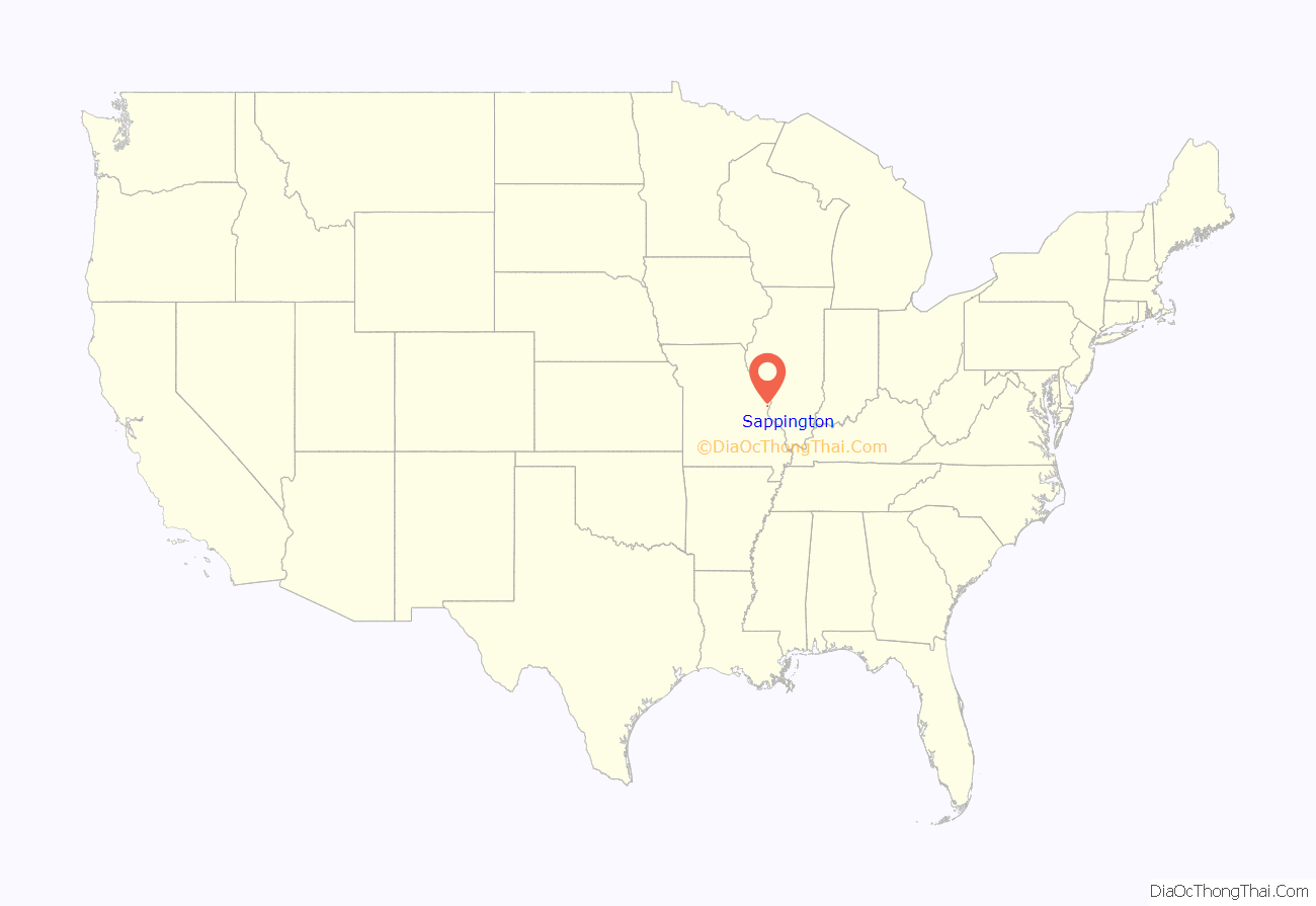
Sappington location map. Where is Sappington CDP?
History
Sappington was named for a family of pioneer settlers. After Daniel Boone settled in modern-day Missouri, he would often return to Kentucky to tell residents about the land available in Missouri. John and Jemima Sappington sent two sons and a son-in-law to explore what is now Sappington in 1804. They bought 1,920 acres (3 square miles) of land – more than the area of present-day Sappington. The following year, the rest of the Sappington family arrived in the area. The descendants of the family eventually populated the area, and parts of present-day Crestwood and Sunset Hills. The house of Thomas Sappington, one of the original settlers, still exists and is maintained by the City of Crestwood.
Sappington Road Map
Sappington city Satellite Map
Geography
According to the United States Census Bureau, the community has a total area of 2.6 square miles (6.7 km), of which 0.1 square miles (0.26 km), or 2.30%, is water.
See also
Map of Missouri State and its subdivision:- Adair
- Andrew
- Atchison
- Audrain
- Barry
- Barton
- Bates
- Benton
- Bollinger
- Boone
- Buchanan
- Butler
- Caldwell
- Callaway
- Camden
- Cape Girardeau
- Carroll
- Carter
- Cass
- Cedar
- Chariton
- Christian
- Clark
- Clay
- Clinton
- Cole
- Cooper
- Crawford
- Dade
- Dallas
- Daviess
- De Kalb
- Dent
- Douglas
- Dunklin
- Franklin
- Gasconade
- Gentry
- Greene
- Grundy
- Harrison
- Henry
- Hickory
- Holt
- Howard
- Howell
- Iron
- Jackson
- Jasper
- Jefferson
- Johnson
- Knox
- Laclede
- Lafayette
- Lawrence
- Lewis
- Lincoln
- Linn
- Livingston
- Macon
- Madison
- Maries
- Marion
- McDonald
- Mercer
- Miller
- Mississippi
- Moniteau
- Monroe
- Montgomery
- Morgan
- New Madrid
- Newton
- Nodaway
- Oregon
- Osage
- Ozark
- Pemiscot
- Perry
- Pettis
- Phelps
- Pike
- Platte
- Polk
- Pulaski
- Putnam
- Ralls
- Randolph
- Ray
- Reynolds
- Ripley
- Saint Charles
- Saint Clair
- Saint Francois
- Saint Louis
- Sainte Genevieve
- Saline
- Schuyler
- Scotland
- Scott
- Shannon
- Shelby
- Stoddard
- Stone
- Sullivan
- Taney
- Texas
- Vernon
- Warren
- Washington
- Wayne
- Webster
- Worth
- Wright
- Alabama
- Alaska
- Arizona
- Arkansas
- California
- Colorado
- Connecticut
- Delaware
- District of Columbia
- Florida
- Georgia
- Hawaii
- Idaho
- Illinois
- Indiana
- Iowa
- Kansas
- Kentucky
- Louisiana
- Maine
- Maryland
- Massachusetts
- Michigan
- Minnesota
- Mississippi
- Missouri
- Montana
- Nebraska
- Nevada
- New Hampshire
- New Jersey
- New Mexico
- New York
- North Carolina
- North Dakota
- Ohio
- Oklahoma
- Oregon
- Pennsylvania
- Rhode Island
- South Carolina
- South Dakota
- Tennessee
- Texas
- Utah
- Vermont
- Virginia
- Washington
- West Virginia
- Wisconsin
- Wyoming
