Smithville is a city in Clay and Platte counties in the U.S. state of Missouri and is part of the Kansas City metropolitan area, along the Little Platte River. The population was 10,406 at the 2020 United States Census.
| Name: | Smithville city |
|---|---|
| LSAD Code: | 25 |
| LSAD Description: | city (suffix) |
| State: | Missouri |
| County: | Clay County, Platte County |
| Elevation: | 814 ft (248 m) |
| Total Area: | 16.26 sq mi (42.12 km²) |
| Land Area: | 16.16 sq mi (41.84 km²) |
| Water Area: | 0.11 sq mi (0.28 km²) |
| Total Population: | 10,406 |
| Population Density: | 644.13/sq mi (248.71/km²) |
| ZIP code: | 64089 |
| Area code: | 816 |
| FIPS code: | 2968420 |
| GNISfeature ID: | 2395903 |
| Website: | www.smithvillemo.org |
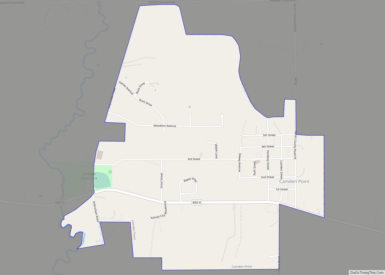
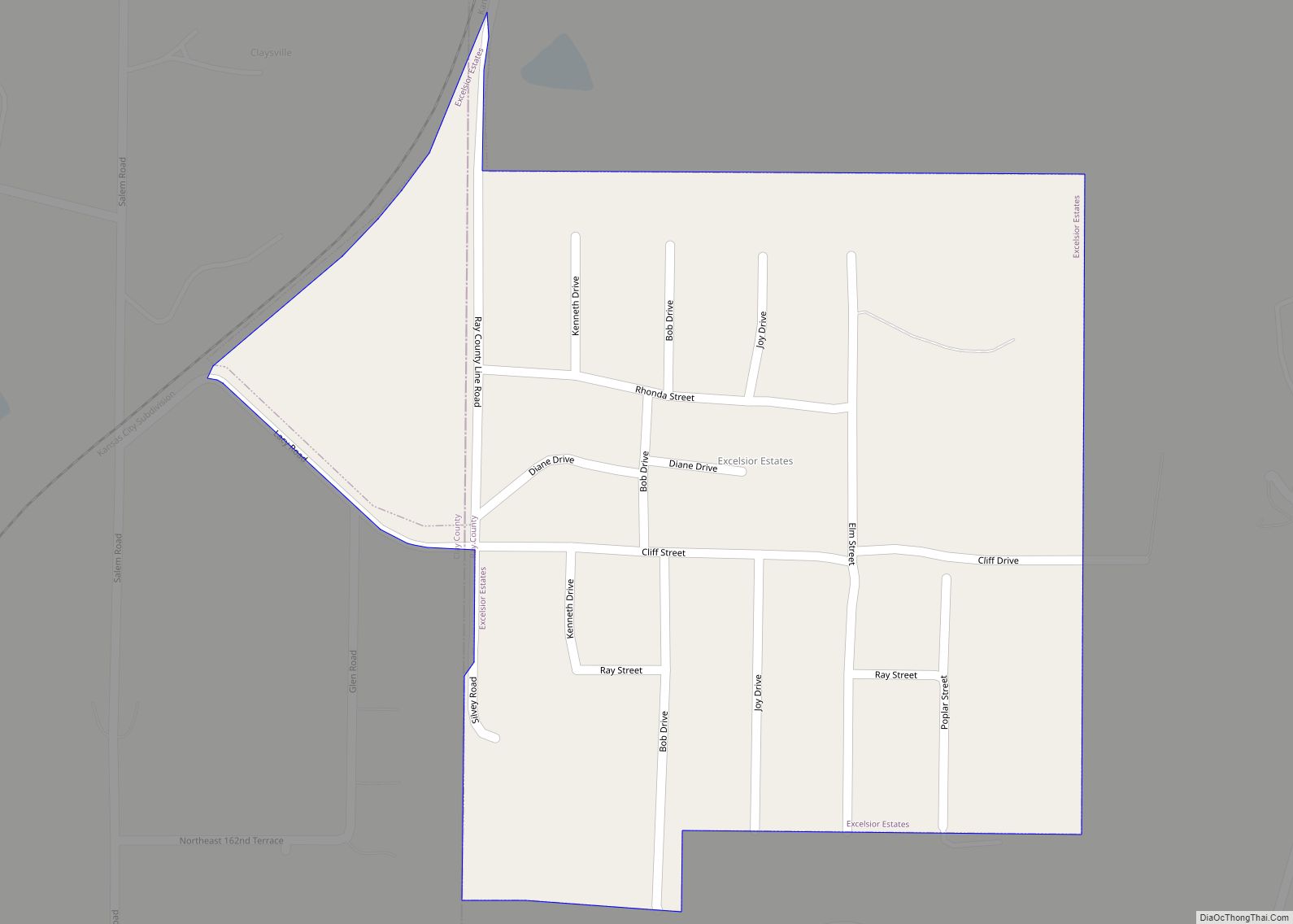
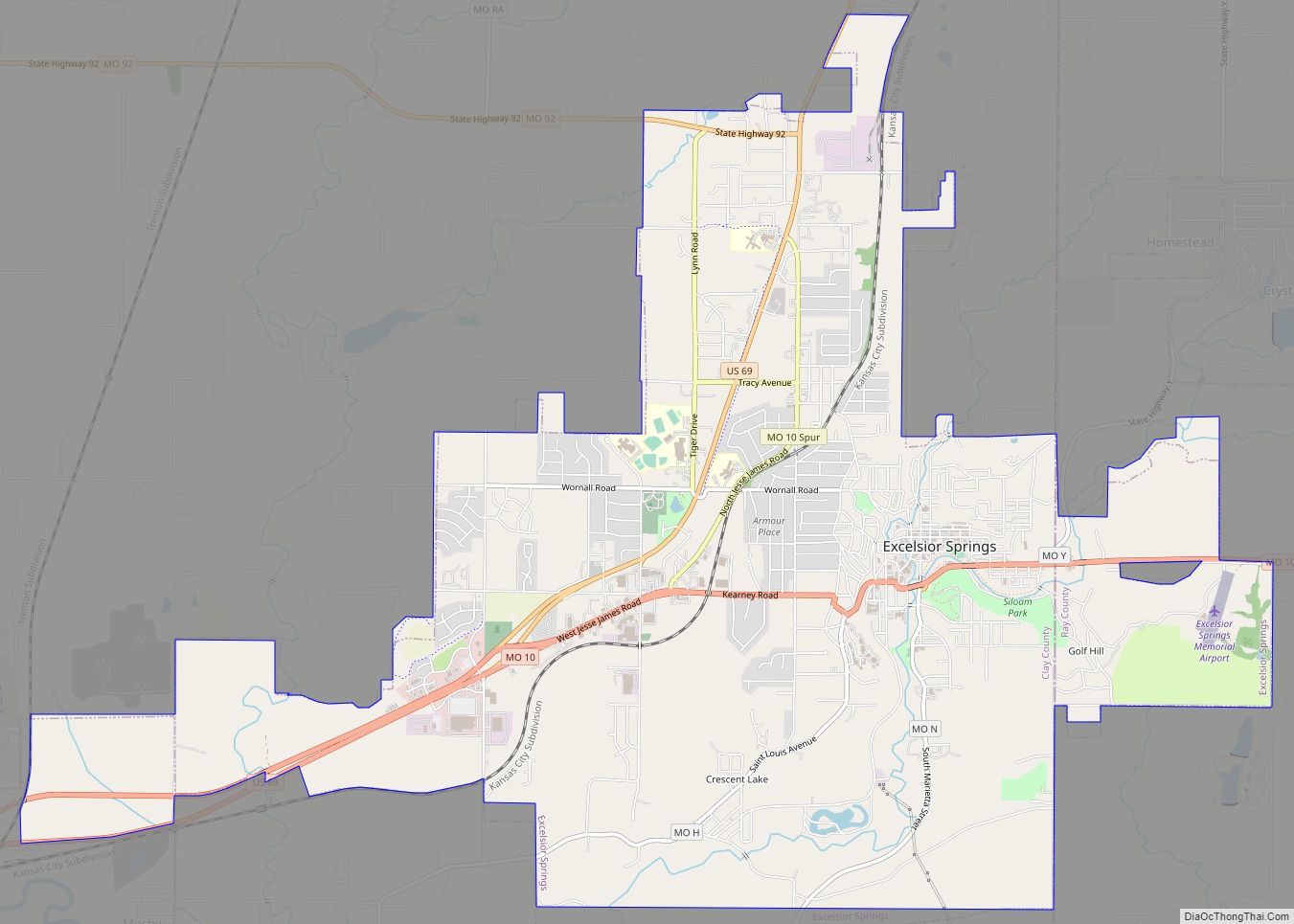
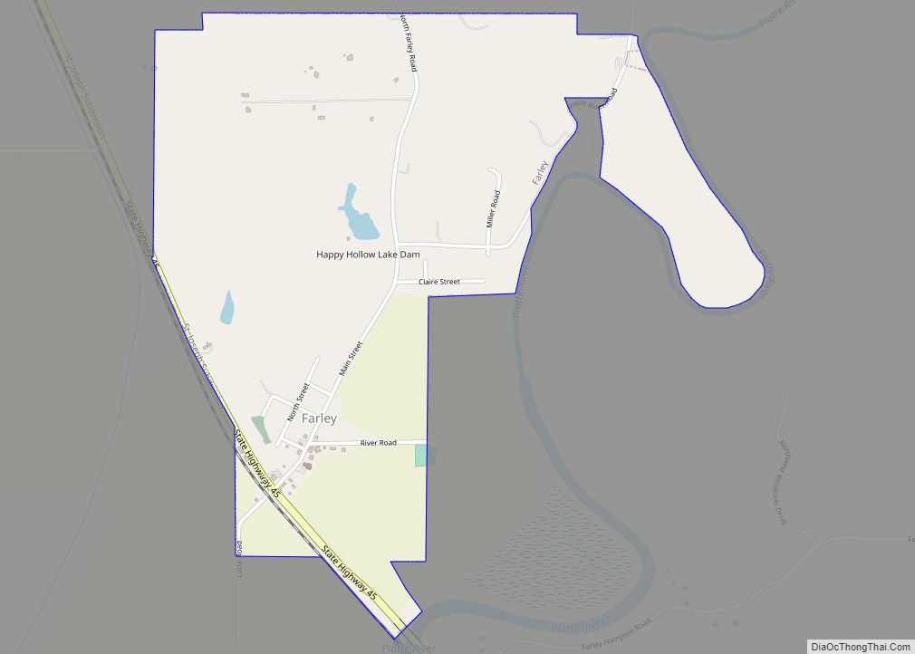
Online Interactive Map
Click on ![]() to view map in "full screen" mode.
to view map in "full screen" mode.
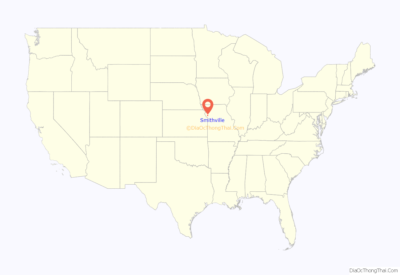
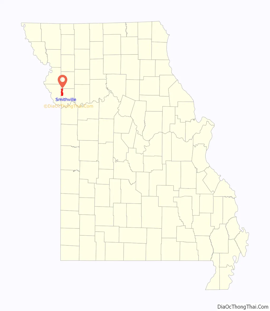
Smithville location map. Where is Smithville city?
History
Smithville is named after Humphrey “Yankee” Smith (1774 – May 5, 1857) after he settled at the site in 1822. The town was originally known as “Smith’s Mill” but ultimately became “Smithville” as it was easier to pronounce. Another reputed history behind the name is that it was going to be named Smith’s Mill, but there was already another current settlement in Missouri with the same name so it was altered slightly to differentiate it.
Silver Screen stars Wallace Beery and Noah Beery, Sr. were born and raised near Smithville.
The Aker Cemetery and Downtown Smithville Historic District are listed on the National Register of Historic Places.
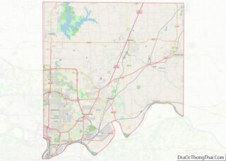
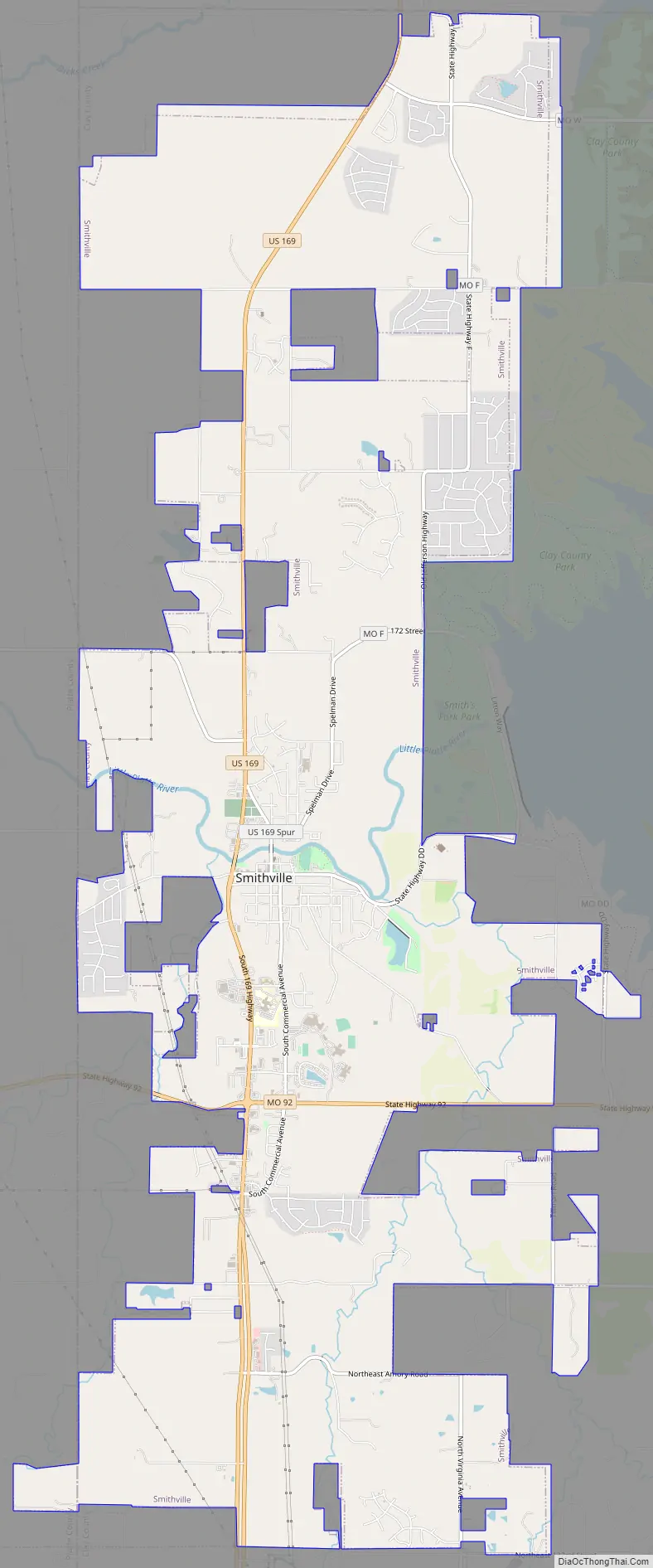
Smithville Road Map
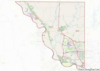
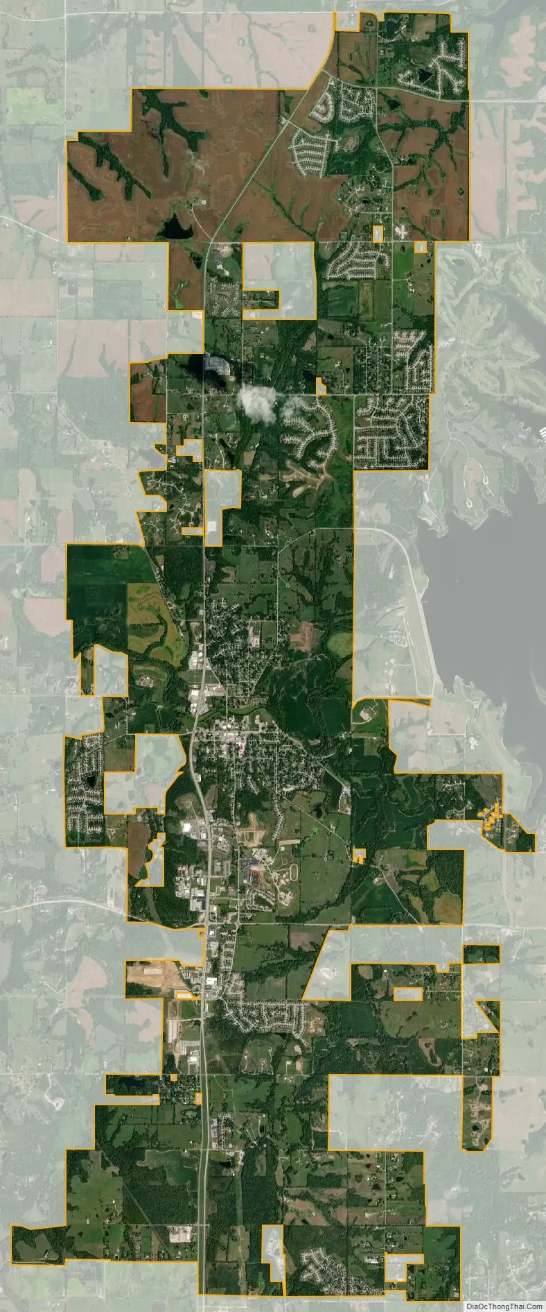
Smithville city Satellite Map
Geography
Smithville is located in western Clay County on the Little Platte River. The Little Platte is dammed just east of the city to form the Smithville Reservoir. U.S. Route 169 passes the west side of the city.
According to the United States Census Bureau, the city has a total area of 15.67 square miles (40.59 km), of which 15.56 square miles (40.30 km) is land and 0.11 square miles (0.28 km) is water.
Climate
According to the Köppen Climate Classification system, Smithville has a humid subtropical climate, abbreviated “Cfa” on climate maps. The hottest temperature recorded in Smithville was 107 °F (41.7 °C) on August 9, 1988, while the coldest temperature recorded was −26 °F (−32.2 °C) on December 23, 1989 and February 16, 2021.
See also
Map of Missouri State and its subdivision:- Adair
- Andrew
- Atchison
- Audrain
- Barry
- Barton
- Bates
- Benton
- Bollinger
- Boone
- Buchanan
- Butler
- Caldwell
- Callaway
- Camden
- Cape Girardeau
- Carroll
- Carter
- Cass
- Cedar
- Chariton
- Christian
- Clark
- Clay
- Clinton
- Cole
- Cooper
- Crawford
- Dade
- Dallas
- Daviess
- De Kalb
- Dent
- Douglas
- Dunklin
- Franklin
- Gasconade
- Gentry
- Greene
- Grundy
- Harrison
- Henry
- Hickory
- Holt
- Howard
- Howell
- Iron
- Jackson
- Jasper
- Jefferson
- Johnson
- Knox
- Laclede
- Lafayette
- Lawrence
- Lewis
- Lincoln
- Linn
- Livingston
- Macon
- Madison
- Maries
- Marion
- McDonald
- Mercer
- Miller
- Mississippi
- Moniteau
- Monroe
- Montgomery
- Morgan
- New Madrid
- Newton
- Nodaway
- Oregon
- Osage
- Ozark
- Pemiscot
- Perry
- Pettis
- Phelps
- Pike
- Platte
- Polk
- Pulaski
- Putnam
- Ralls
- Randolph
- Ray
- Reynolds
- Ripley
- Saint Charles
- Saint Clair
- Saint Francois
- Saint Louis
- Sainte Genevieve
- Saline
- Schuyler
- Scotland
- Scott
- Shannon
- Shelby
- Stoddard
- Stone
- Sullivan
- Taney
- Texas
- Vernon
- Warren
- Washington
- Wayne
- Webster
- Worth
- Wright
- Alabama
- Alaska
- Arizona
- Arkansas
- California
- Colorado
- Connecticut
- Delaware
- District of Columbia
- Florida
- Georgia
- Hawaii
- Idaho
- Illinois
- Indiana
- Iowa
- Kansas
- Kentucky
- Louisiana
- Maine
- Maryland
- Massachusetts
- Michigan
- Minnesota
- Mississippi
- Missouri
- Montana
- Nebraska
- Nevada
- New Hampshire
- New Jersey
- New Mexico
- New York
- North Carolina
- North Dakota
- Ohio
- Oklahoma
- Oregon
- Pennsylvania
- Rhode Island
- South Carolina
- South Dakota
- Tennessee
- Texas
- Utah
- Vermont
- Virginia
- Washington
- West Virginia
- Wisconsin
- Wyoming