Strafford is a city in eastern Greene County, Missouri, United States. It is part of the Springfield, Missouri Metropolitan Statistical Area. The city’s population was 2,561 at the 2020 census.
| Name: | Strafford city |
|---|---|
| LSAD Code: | 25 |
| LSAD Description: | city (suffix) |
| State: | Missouri |
| County: | Greene County |
| Elevation: | 1,490 ft (454 m) |
| Total Area: | 300.29 sq mi (8.52 km²) |
| Land Area: | 3,000 sq mi (8.52 km²) |
| Water Area: | 0.00 sq mi (0.00 km²) |
| Total Population: | 2,561 |
| Population Density: | 778.42/sq mi (300.52/km²) |
| ZIP code: | 65757 |
| Area code: | 417 |
| FIPS code: | 2971062 |
| GNISfeature ID: | 0727168 |
| Website: | www.straffordmo.net |
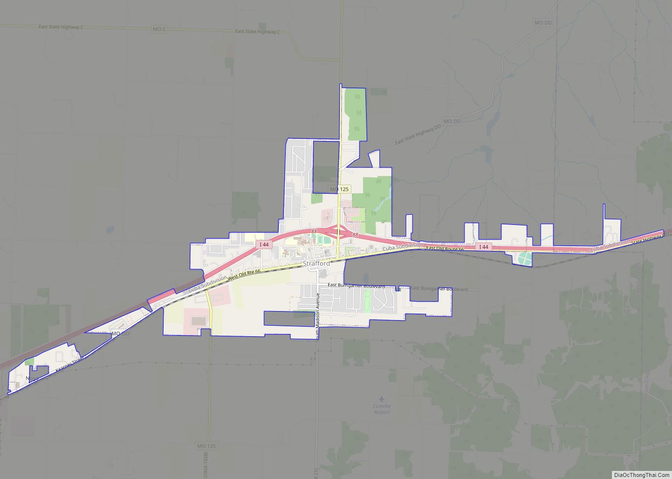
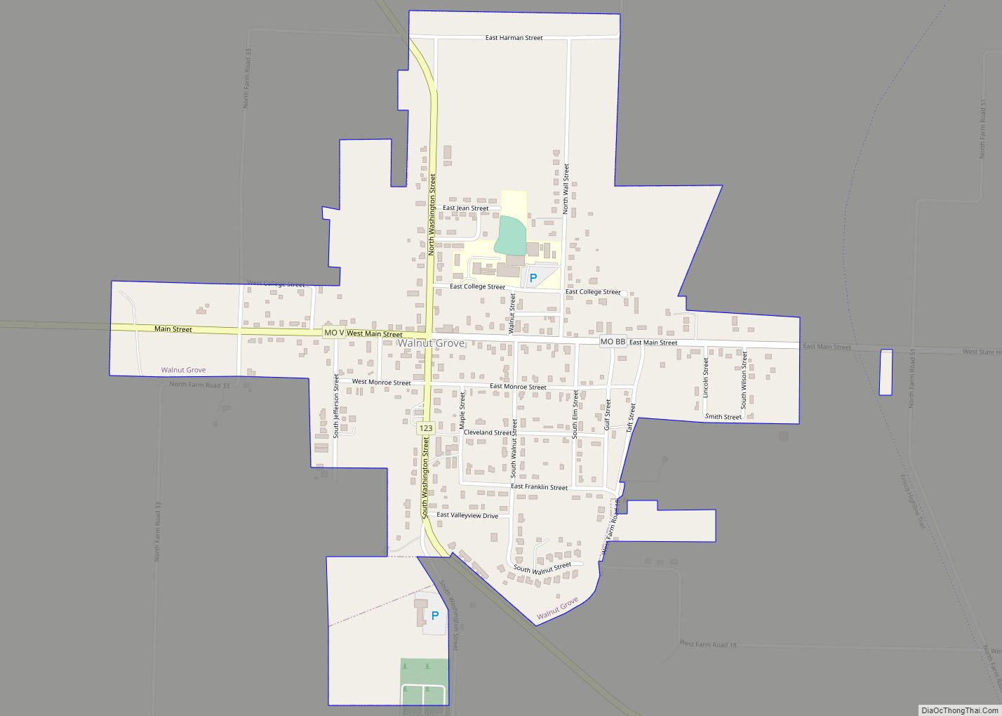
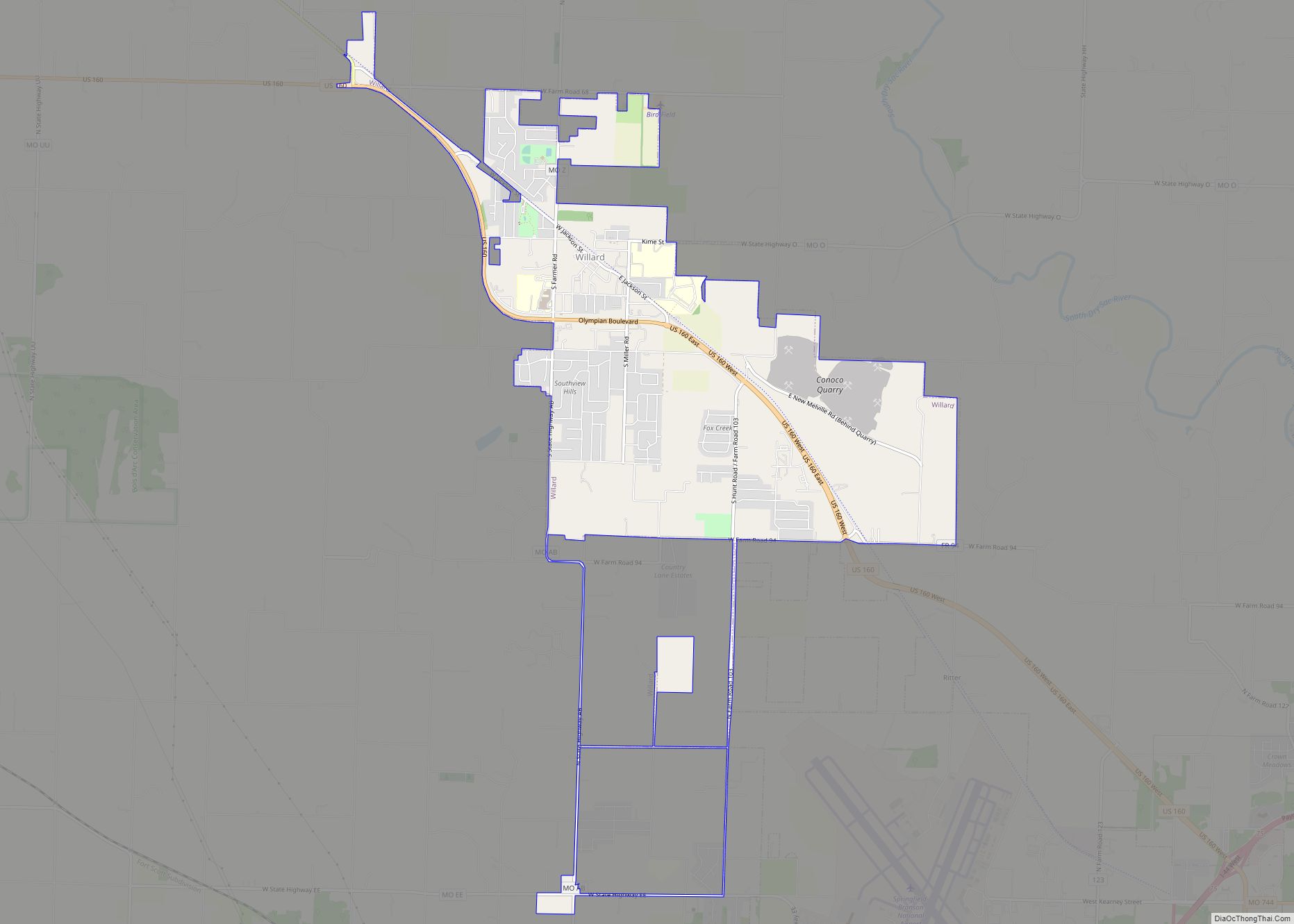
Online Interactive Map
Click on ![]() to view map in "full screen" mode.
to view map in "full screen" mode.
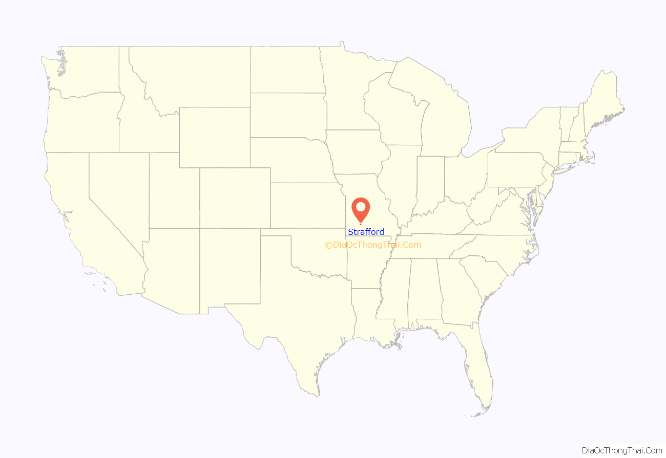
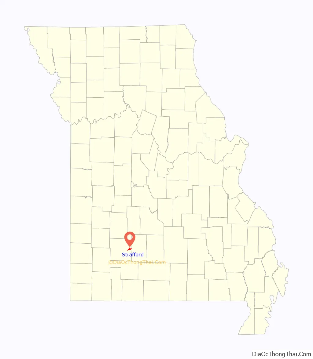
Strafford location map. Where is Strafford city?
History
Strafford was laid out in 1870 when the railroad was extended to that point, and named after an original owner of the site. A post office called Strafford has been in operation since 1870.
According to Ripley’s Believe It or Not!, Strafford is the only town in the United States with two main streets and no back alleys. The road to the north was the main street until Route 66 was built between the backs of the businesses and the railroad. The owners simply built new entrances, giving them two front doors.
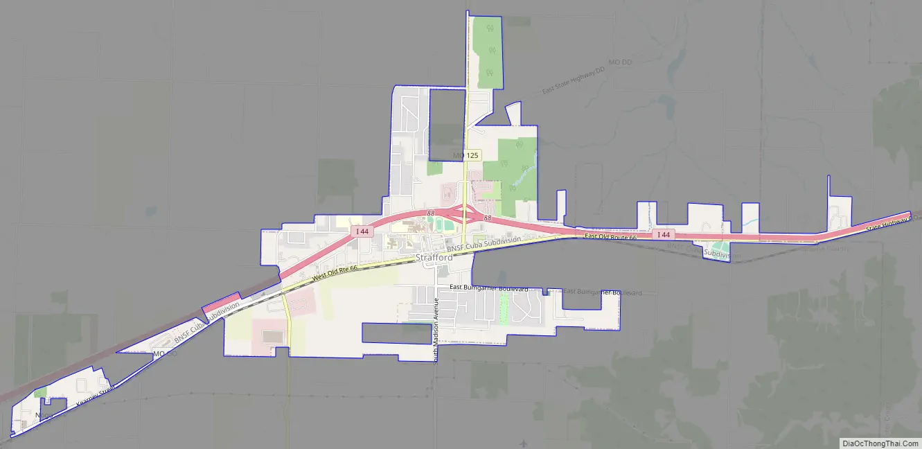
Strafford Road Map
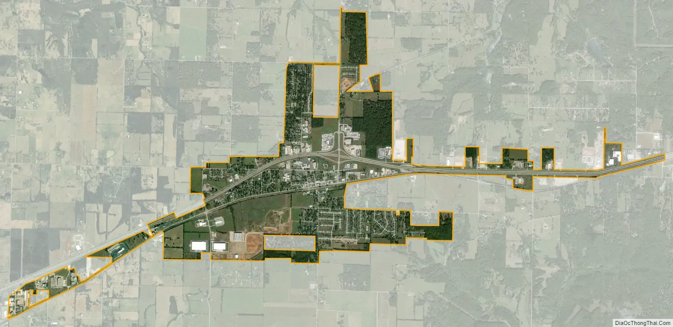
Strafford city Satellite Map
Geography
According to the United States Census Bureau, the city has a total area of 2.63 square miles (6.81 km), all land.
See also
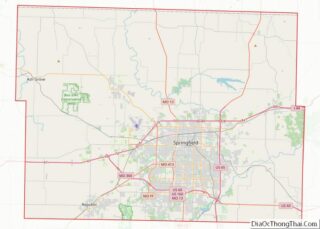
Map of Missouri State and its subdivision:- Adair
- Andrew
- Atchison
- Audrain
- Barry
- Barton
- Bates
- Benton
- Bollinger
- Boone
- Buchanan
- Butler
- Caldwell
- Callaway
- Camden
- Cape Girardeau
- Carroll
- Carter
- Cass
- Cedar
- Chariton
- Christian
- Clark
- Clay
- Clinton
- Cole
- Cooper
- Crawford
- Dade
- Dallas
- Daviess
- De Kalb
- Dent
- Douglas
- Dunklin
- Franklin
- Gasconade
- Gentry
- Greene
- Grundy
- Harrison
- Henry
- Hickory
- Holt
- Howard
- Howell
- Iron
- Jackson
- Jasper
- Jefferson
- Johnson
- Knox
- Laclede
- Lafayette
- Lawrence
- Lewis
- Lincoln
- Linn
- Livingston
- Macon
- Madison
- Maries
- Marion
- McDonald
- Mercer
- Miller
- Mississippi
- Moniteau
- Monroe
- Montgomery
- Morgan
- New Madrid
- Newton
- Nodaway
- Oregon
- Osage
- Ozark
- Pemiscot
- Perry
- Pettis
- Phelps
- Pike
- Platte
- Polk
- Pulaski
- Putnam
- Ralls
- Randolph
- Ray
- Reynolds
- Ripley
- Saint Charles
- Saint Clair
- Saint Francois
- Saint Louis
- Sainte Genevieve
- Saline
- Schuyler
- Scotland
- Scott
- Shannon
- Shelby
- Stoddard
- Stone
- Sullivan
- Taney
- Texas
- Vernon
- Warren
- Washington
- Wayne
- Webster
- Worth
- Wright
- Alabama
- Alaska
- Arizona
- Arkansas
- California
- Colorado
- Connecticut
- Delaware
- District of Columbia
- Florida
- Georgia
- Hawaii
- Idaho
- Illinois
- Indiana
- Iowa
- Kansas
- Kentucky
- Louisiana
- Maine
- Maryland
- Massachusetts
- Michigan
- Minnesota
- Mississippi
- Missouri
- Montana
- Nebraska
- Nevada
- New Hampshire
- New Jersey
- New Mexico
- New York
- North Carolina
- North Dakota
- Ohio
- Oklahoma
- Oregon
- Pennsylvania
- Rhode Island
- South Carolina
- South Dakota
- Tennessee
- Texas
- Utah
- Vermont
- Virginia
- Washington
- West Virginia
- Wisconsin
- Wyoming