Versailles is a city in Morgan County, Missouri, United States. The population was 2,482 at the 2010 census. It is the county seat of Morgan County. Locally, the town’s name is pronounced “Ver-sails”, rather than “Ver-seye,” as in the French pronunciation of the royal palace for which the town is named.
| Name: | Versailles city |
|---|---|
| LSAD Code: | 25 |
| LSAD Description: | city (suffix) |
| State: | Missouri |
| County: | Morgan County |
| Elevation: | 997 ft (304 m) |
| Total Area: | 2.33 sq mi (6.04 km²) |
| Land Area: | 2.33 sq mi (6.03 km²) |
| Water Area: | 0.00 sq mi (0.01 km²) |
| Total Population: | 2,539 |
| Population Density: | 1,090.64/sq mi (421.14/km²) |
| ZIP code: | 65084 |
| Area code: | 573 |
| FIPS code: | 2975922 |
| GNISfeature ID: | 2397131 |
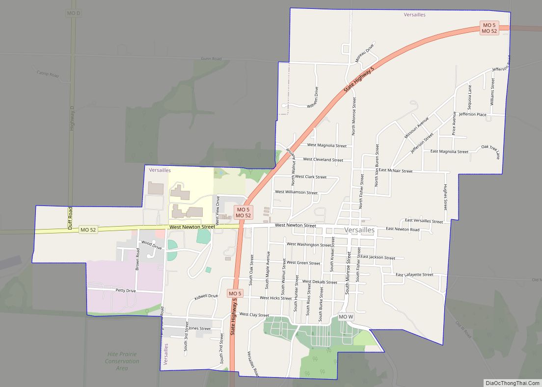
Online Interactive Map
Click on ![]() to view map in "full screen" mode.
to view map in "full screen" mode.
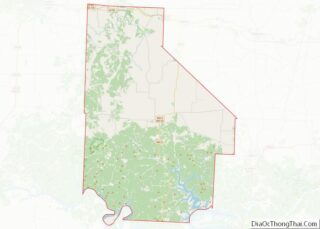
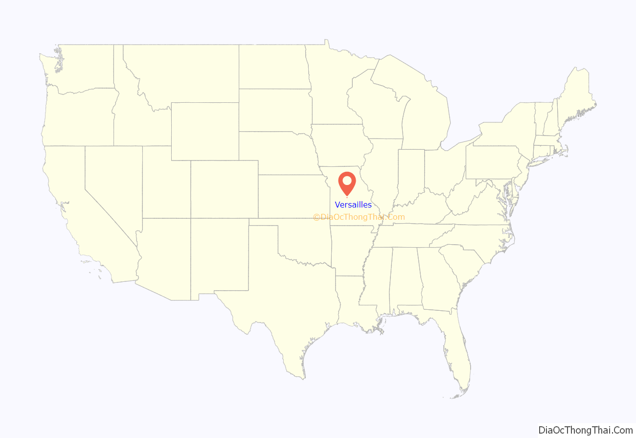
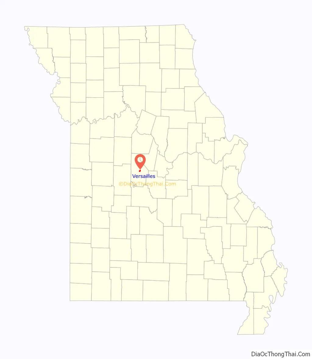
Versailles location map. Where is Versailles city?
History
A post office called Versailles, after the royal palace near Paris, France, has been in operation since 1835. Versailles was not platted until 1854.
The Martin Hotel, built in 1853, after the Civil War had such guests as the showman P. T. Barnum and outlaw robber Jesse James. Since the late 20th century, it has been operated as a museum. Both it and the Morgan County Courthouse are existing historic structures that are listed on the National Register of Historic Places. The courthouse was designed in a French style.
Dixon Ticonderoga, a pencil manufacturing company, had a plant in Versailles until it closed in 2005.
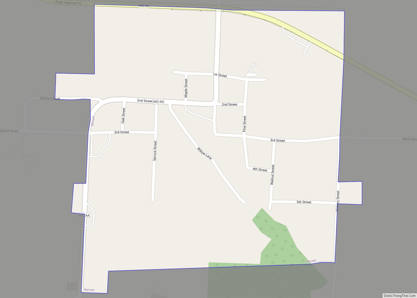
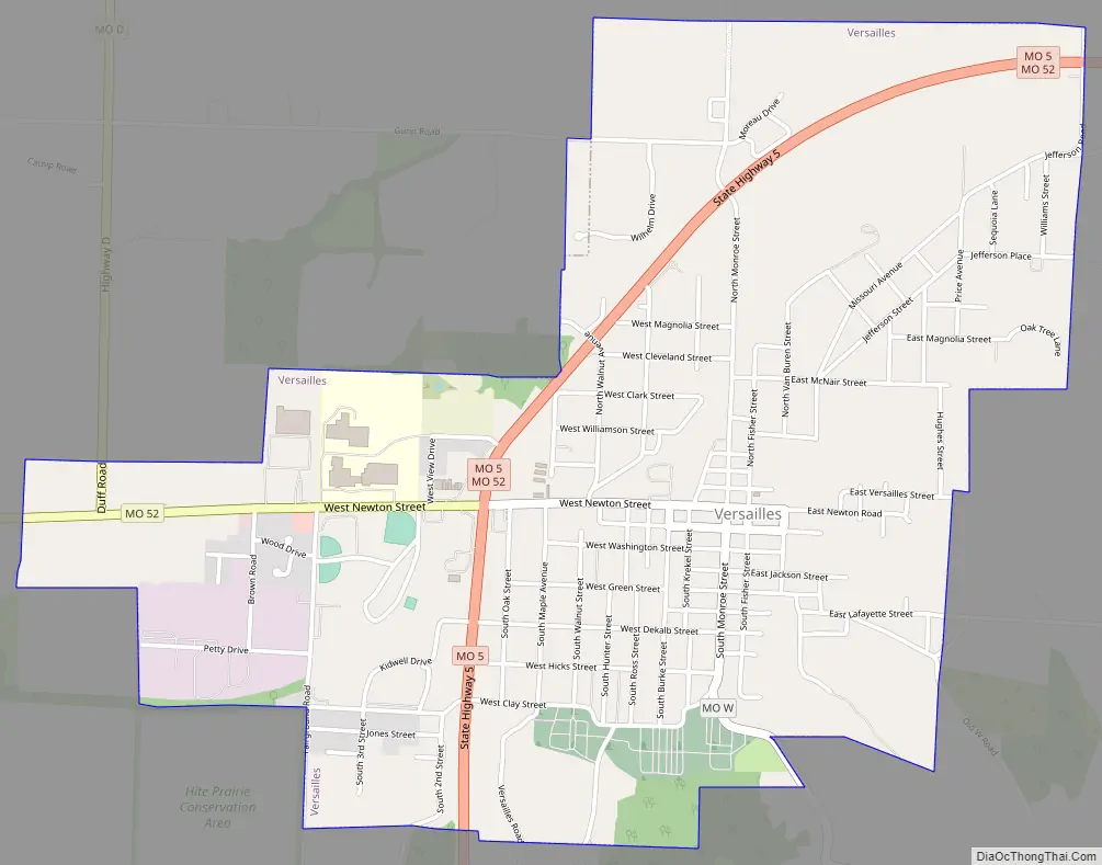
Versailles Road Map
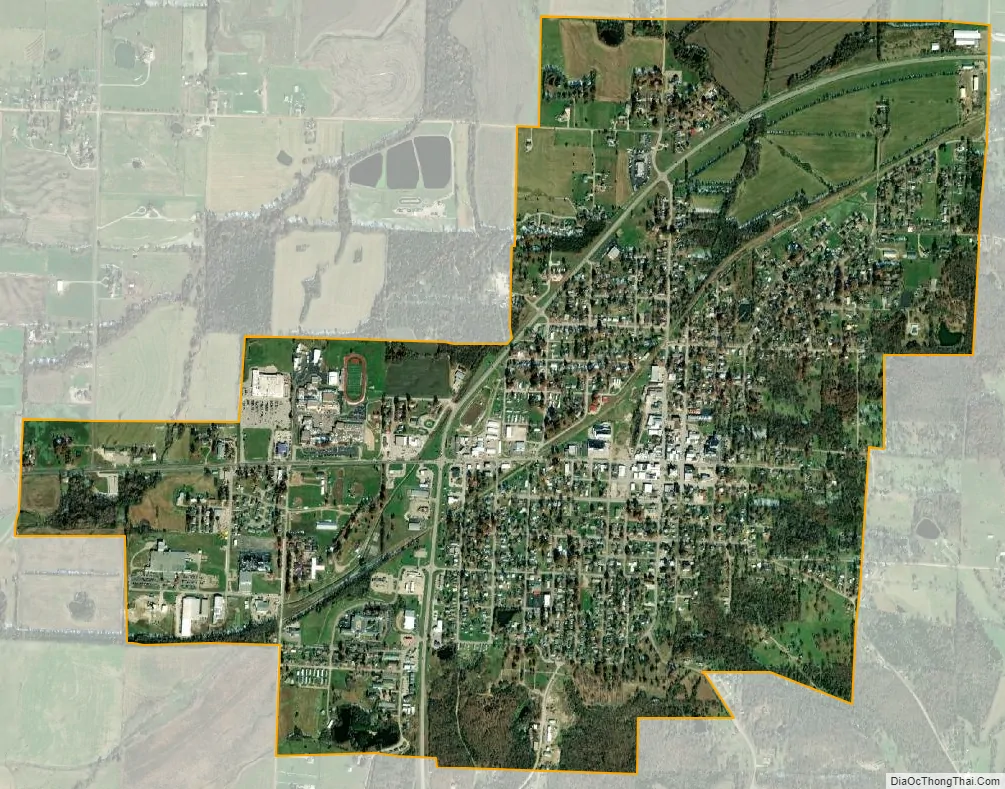
Versailles city Satellite Map
Geography
According to the United States Census Bureau, the city has a total area of 2.33 square miles (6.03 km), all land.
Climate
See also
Map of Missouri State and its subdivision:- Adair
- Andrew
- Atchison
- Audrain
- Barry
- Barton
- Bates
- Benton
- Bollinger
- Boone
- Buchanan
- Butler
- Caldwell
- Callaway
- Camden
- Cape Girardeau
- Carroll
- Carter
- Cass
- Cedar
- Chariton
- Christian
- Clark
- Clay
- Clinton
- Cole
- Cooper
- Crawford
- Dade
- Dallas
- Daviess
- De Kalb
- Dent
- Douglas
- Dunklin
- Franklin
- Gasconade
- Gentry
- Greene
- Grundy
- Harrison
- Henry
- Hickory
- Holt
- Howard
- Howell
- Iron
- Jackson
- Jasper
- Jefferson
- Johnson
- Knox
- Laclede
- Lafayette
- Lawrence
- Lewis
- Lincoln
- Linn
- Livingston
- Macon
- Madison
- Maries
- Marion
- McDonald
- Mercer
- Miller
- Mississippi
- Moniteau
- Monroe
- Montgomery
- Morgan
- New Madrid
- Newton
- Nodaway
- Oregon
- Osage
- Ozark
- Pemiscot
- Perry
- Pettis
- Phelps
- Pike
- Platte
- Polk
- Pulaski
- Putnam
- Ralls
- Randolph
- Ray
- Reynolds
- Ripley
- Saint Charles
- Saint Clair
- Saint Francois
- Saint Louis
- Sainte Genevieve
- Saline
- Schuyler
- Scotland
- Scott
- Shannon
- Shelby
- Stoddard
- Stone
- Sullivan
- Taney
- Texas
- Vernon
- Warren
- Washington
- Wayne
- Webster
- Worth
- Wright
- Alabama
- Alaska
- Arizona
- Arkansas
- California
- Colorado
- Connecticut
- Delaware
- District of Columbia
- Florida
- Georgia
- Hawaii
- Idaho
- Illinois
- Indiana
- Iowa
- Kansas
- Kentucky
- Louisiana
- Maine
- Maryland
- Massachusetts
- Michigan
- Minnesota
- Mississippi
- Missouri
- Montana
- Nebraska
- Nevada
- New Hampshire
- New Jersey
- New Mexico
- New York
- North Carolina
- North Dakota
- Ohio
- Oklahoma
- Oregon
- Pennsylvania
- Rhode Island
- South Carolina
- South Dakota
- Tennessee
- Texas
- Utah
- Vermont
- Virginia
- Washington
- West Virginia
- Wisconsin
- Wyoming