Weatherby is a village in eastern DeKalb County, Missouri, United States. The population was 80 at the 2020 census. It is part of the St. Joseph, MO–KS Metropolitan Statistical Area.
| Name: | Weatherby town |
|---|---|
| LSAD Code: | 43 |
| LSAD Description: | town (suffix) |
| State: | Missouri |
| County: | DeKalb County |
| Elevation: | 879 ft (268 m) |
| Total Area: | 0.12 sq mi (0.31 km²) |
| Land Area: | 0.12 sq mi (0.31 km²) |
| Water Area: | 0.00 sq mi (0.00 km²) |
| Total Population: | 80 |
| Population Density: | 677.97/sq mi (261.41/km²) |
| ZIP code: | 64497 |
| Area code: | 816 |
| FIPS code: | 2978028 |
| GNISfeature ID: | 2397728 |
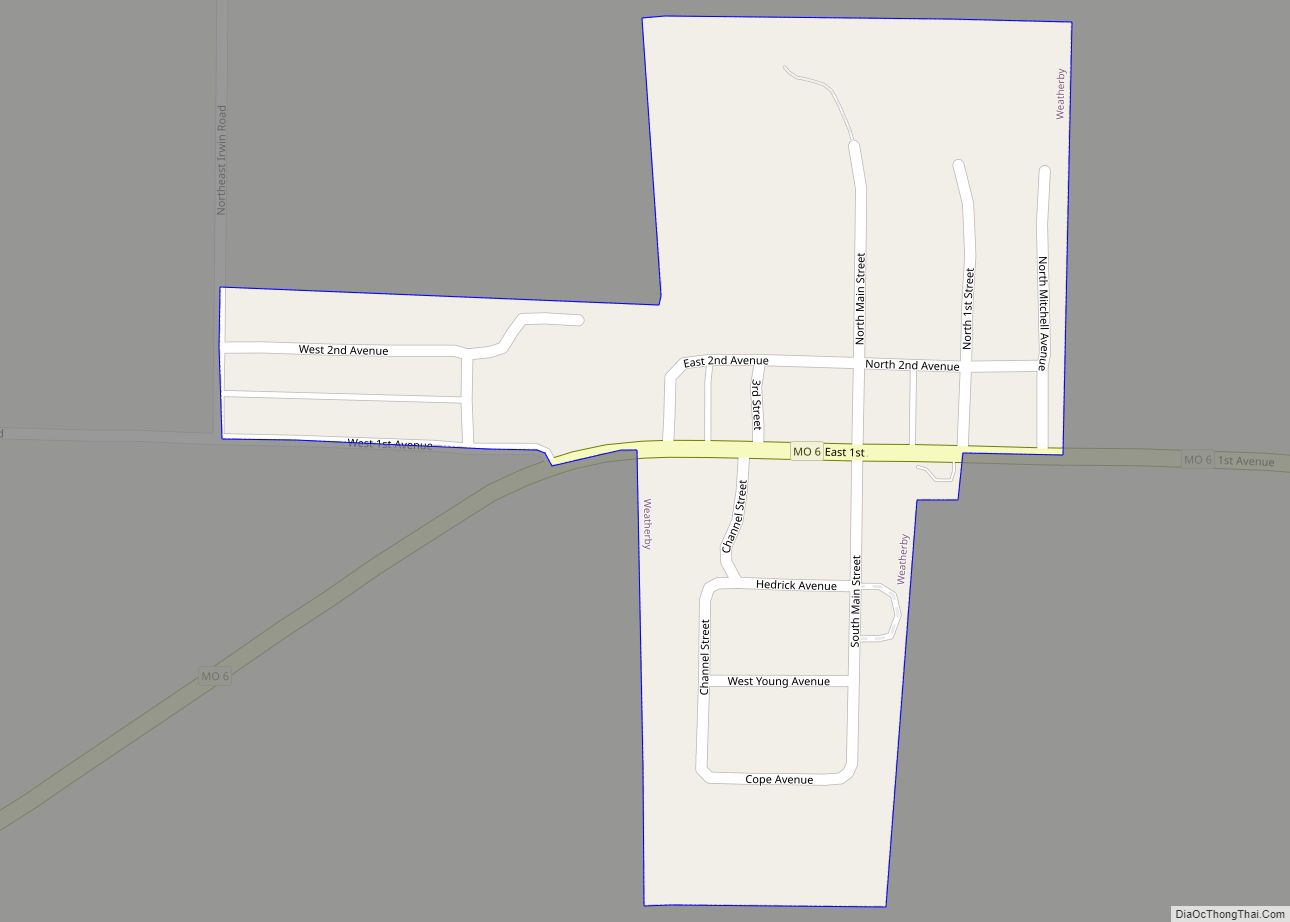
Online Interactive Map
Click on ![]() to view map in "full screen" mode.
to view map in "full screen" mode.
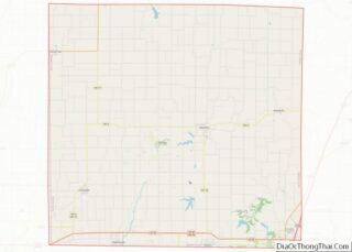
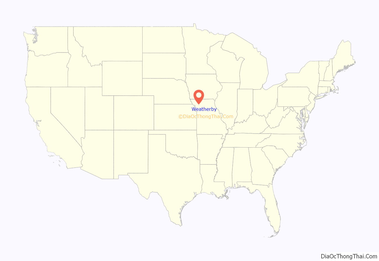
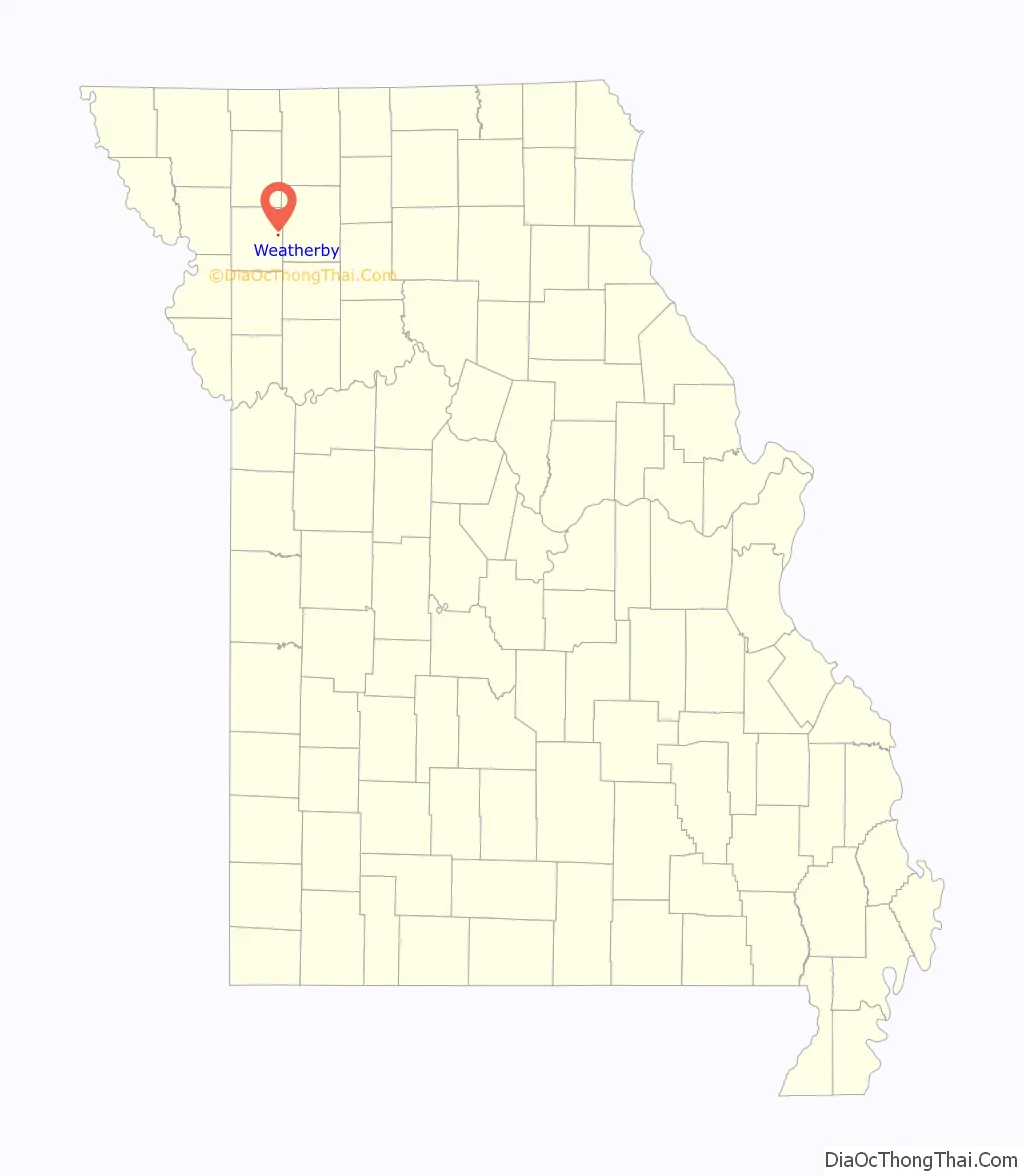
Weatherby location map. Where is Weatherby town?
History
Weatherby was laid out in 1885 by L. H. Weatherby, and named for him. A post office called Weatherby has been in operation since 1886.
The Absolom Riggs House was listed on the National Register of Historic Places in 1982.
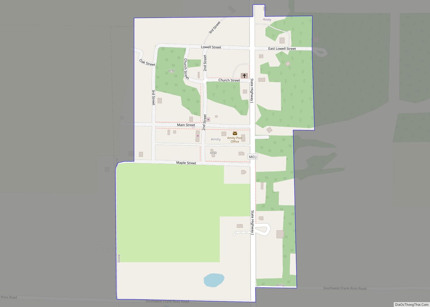
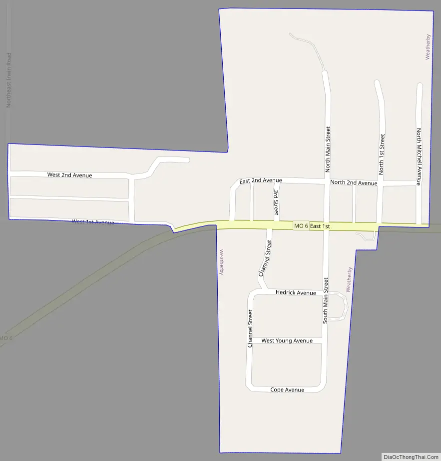
Weatherby Road Map
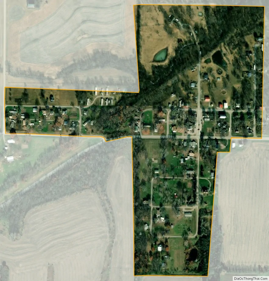
Weatherby city Satellite Map
Geography
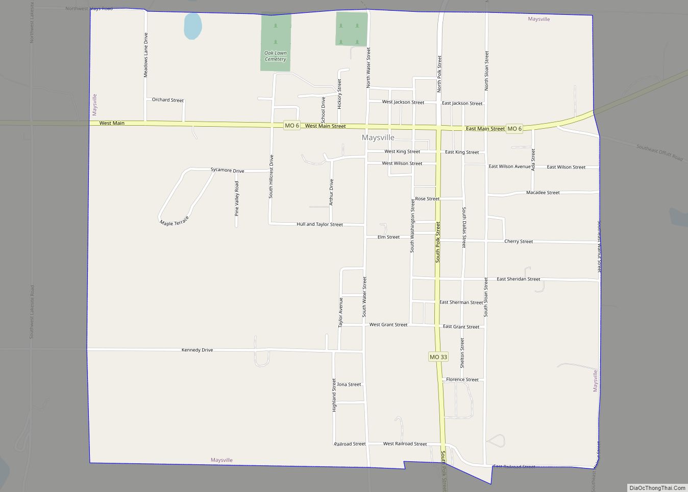
Weatherby is located on Missouri Route 6 six miles east of Maysville and two miles west of the Dekalb-Daviess county line. Grindstone Creek flows past one mile southeast of the community.
According to the United States Census Bureau, the village has a total area of 0.12 square miles (0.31 km), all land.
See also
Map of Missouri State and its subdivision:- Adair
- Andrew
- Atchison
- Audrain
- Barry
- Barton
- Bates
- Benton
- Bollinger
- Boone
- Buchanan
- Butler
- Caldwell
- Callaway
- Camden
- Cape Girardeau
- Carroll
- Carter
- Cass
- Cedar
- Chariton
- Christian
- Clark
- Clay
- Clinton
- Cole
- Cooper
- Crawford
- Dade
- Dallas
- Daviess
- De Kalb
- Dent
- Douglas
- Dunklin
- Franklin
- Gasconade
- Gentry
- Greene
- Grundy
- Harrison
- Henry
- Hickory
- Holt
- Howard
- Howell
- Iron
- Jackson
- Jasper
- Jefferson
- Johnson
- Knox
- Laclede
- Lafayette
- Lawrence
- Lewis
- Lincoln
- Linn
- Livingston
- Macon
- Madison
- Maries
- Marion
- McDonald
- Mercer
- Miller
- Mississippi
- Moniteau
- Monroe
- Montgomery
- Morgan
- New Madrid
- Newton
- Nodaway
- Oregon
- Osage
- Ozark
- Pemiscot
- Perry
- Pettis
- Phelps
- Pike
- Platte
- Polk
- Pulaski
- Putnam
- Ralls
- Randolph
- Ray
- Reynolds
- Ripley
- Saint Charles
- Saint Clair
- Saint Francois
- Saint Louis
- Sainte Genevieve
- Saline
- Schuyler
- Scotland
- Scott
- Shannon
- Shelby
- Stoddard
- Stone
- Sullivan
- Taney
- Texas
- Vernon
- Warren
- Washington
- Wayne
- Webster
- Worth
- Wright
- Alabama
- Alaska
- Arizona
- Arkansas
- California
- Colorado
- Connecticut
- Delaware
- District of Columbia
- Florida
- Georgia
- Hawaii
- Idaho
- Illinois
- Indiana
- Iowa
- Kansas
- Kentucky
- Louisiana
- Maine
- Maryland
- Massachusetts
- Michigan
- Minnesota
- Mississippi
- Missouri
- Montana
- Nebraska
- Nevada
- New Hampshire
- New Jersey
- New Mexico
- New York
- North Carolina
- North Dakota
- Ohio
- Oklahoma
- Oregon
- Pennsylvania
- Rhode Island
- South Carolina
- South Dakota
- Tennessee
- Texas
- Utah
- Vermont
- Virginia
- Washington
- West Virginia
- Wisconsin
- Wyoming