Willard is a city in Greene County, Missouri, United States. As of the 2020 census, the city population was 6,344. It is part of the Springfield, Missouri Metropolitan Statistical Area.
| Name: | Willard city |
|---|---|
| LSAD Code: | 25 |
| LSAD Description: | city (suffix) |
| State: | Missouri |
| County: | Greene County |
| Elevation: | 1,237 ft (377 m) |
| Total Area: | 6.05 sq mi (15.67 km²) |
| Land Area: | 6.05 sq mi (15.67 km²) |
| Water Area: | 0.00 sq mi (0.00 km²) |
| Total Population: | 6,344 |
| Population Density: | 1,048.94/sq mi (404.97/km²) |
| ZIP code: | 65781 |
| Area code: | 417 |
| FIPS code: | 2979882 |
| GNISfeature ID: | 0735917 |
| Website: | cityofwillard.org |
Online Interactive Map
Click on ![]() to view map in "full screen" mode.
to view map in "full screen" mode.
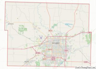
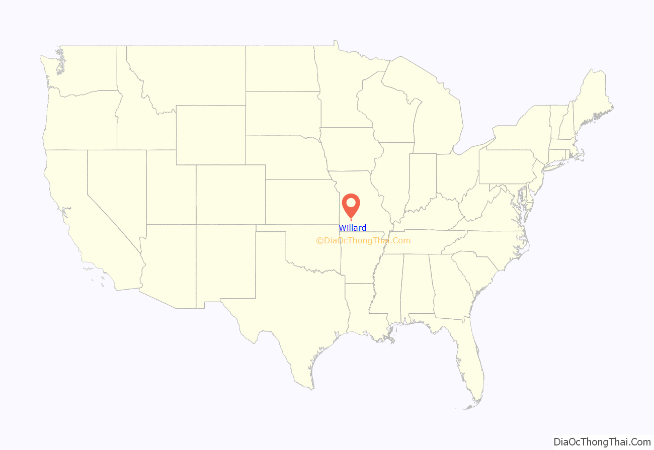
Willard location map. Where is Willard city?
History
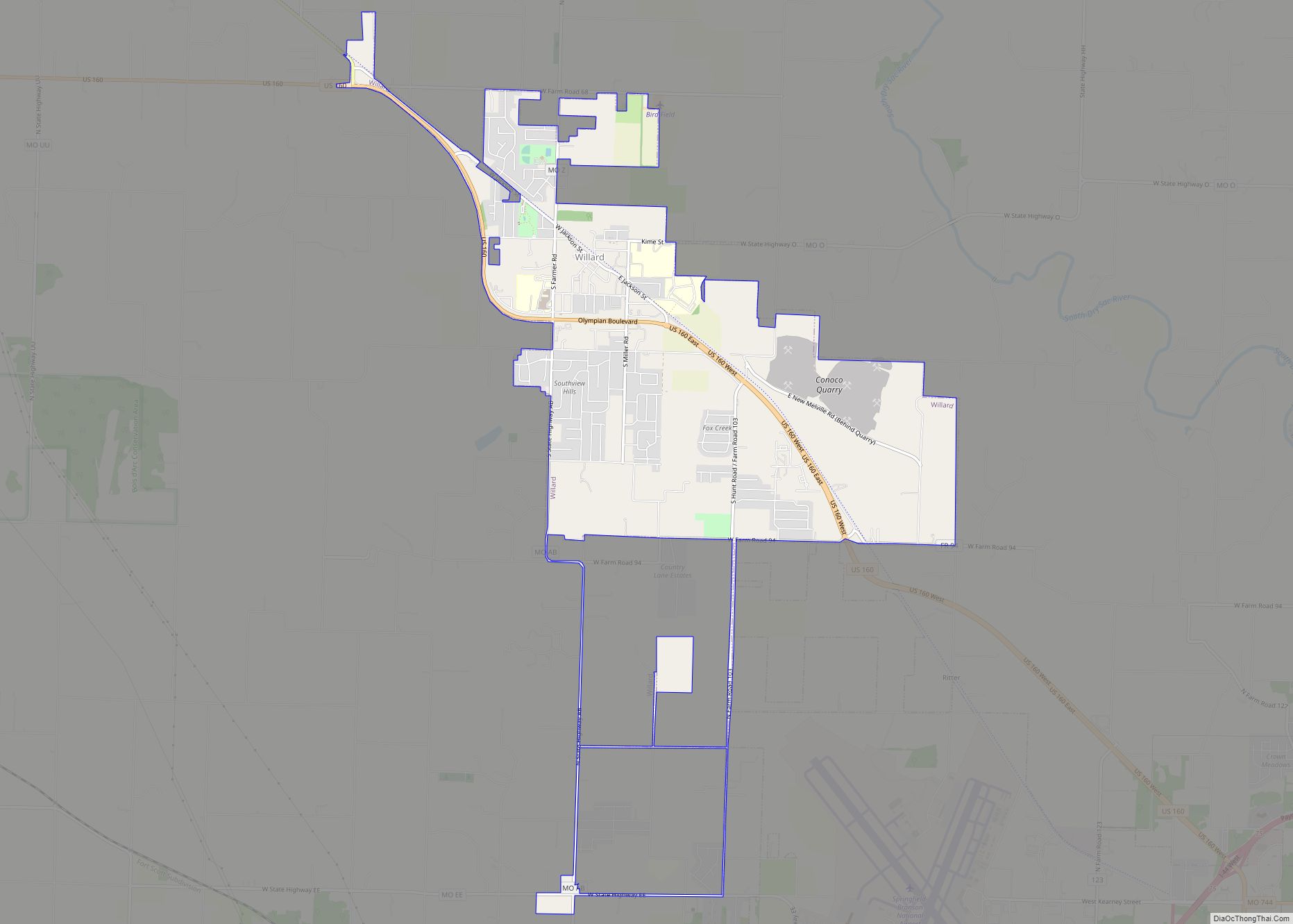
The City of Willard was founded in 1884 and incorporated in 1949. Willard’s main east–west road, U.S. 160, is known as Olympian Boulevard because two graduates of Willard High School have participated in the Olympics. Although the town remains relatively small in size, the city of Willard has undergone considerable growth in recent years and still continues to grow.
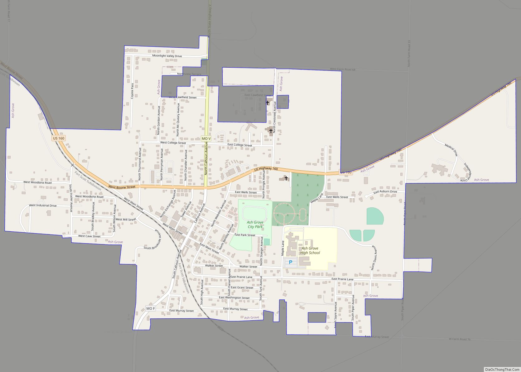
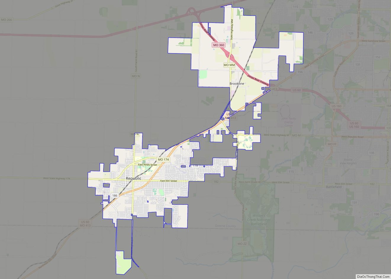
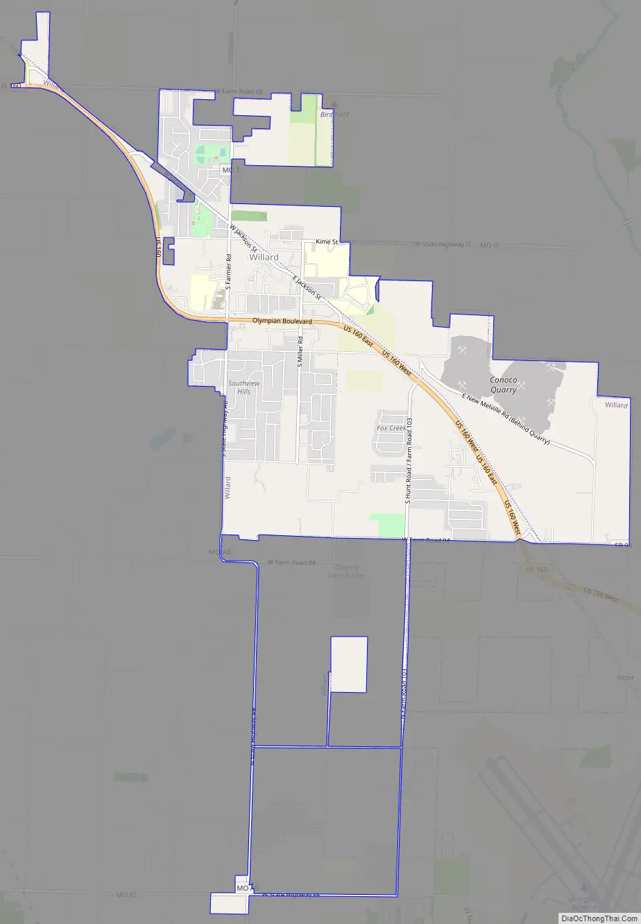
Willard Road Map
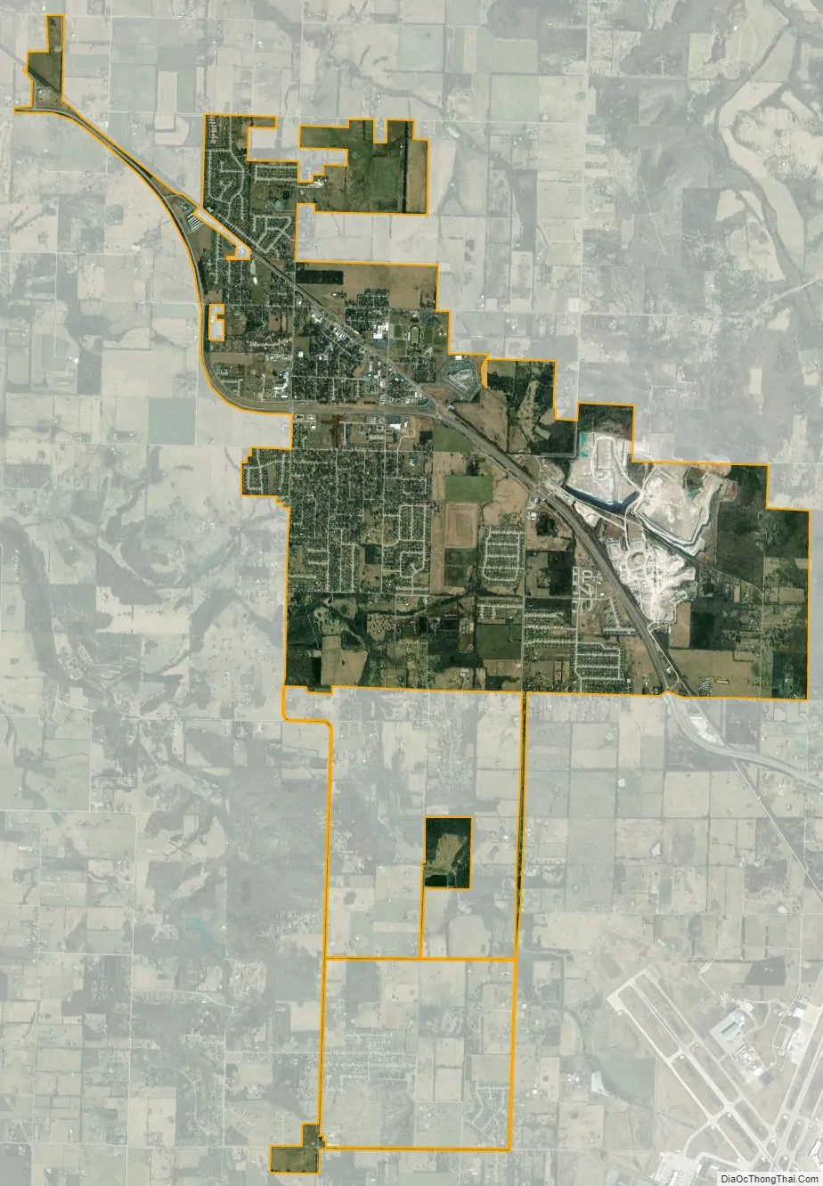
Willard city Satellite Map
Geography
Willard is located at 37°17′40″N 93°25′24″W / 37.29444°N 93.42333°W / 37.29444; -93.42333 (37.294429, -93.423218).
According to the United States Census Bureau, the city has a total area of 5.92 square miles (15.33 km), all land.
See also
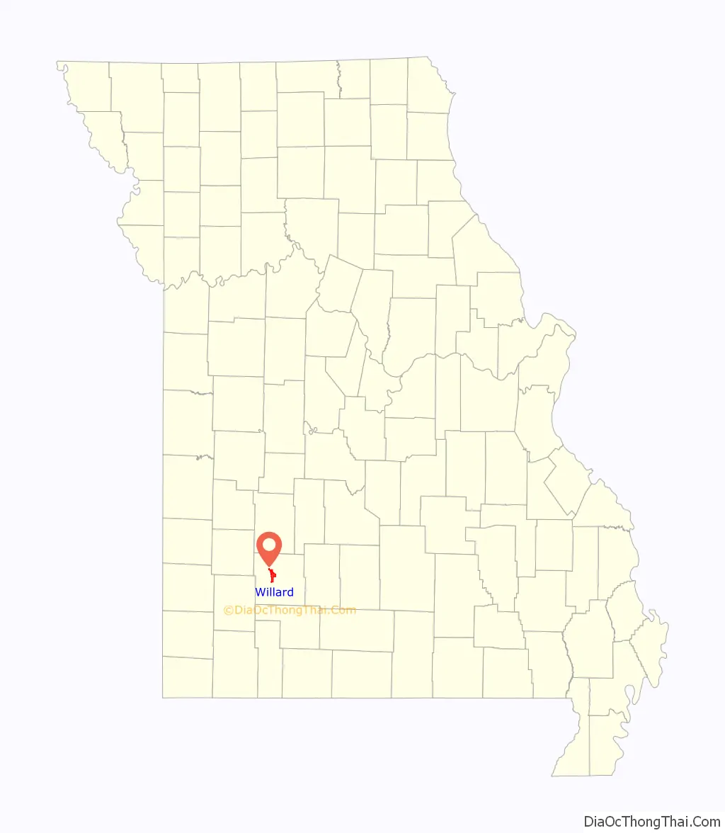
Map of Missouri State and its subdivision:- Adair
- Andrew
- Atchison
- Audrain
- Barry
- Barton
- Bates
- Benton
- Bollinger
- Boone
- Buchanan
- Butler
- Caldwell
- Callaway
- Camden
- Cape Girardeau
- Carroll
- Carter
- Cass
- Cedar
- Chariton
- Christian
- Clark
- Clay
- Clinton
- Cole
- Cooper
- Crawford
- Dade
- Dallas
- Daviess
- De Kalb
- Dent
- Douglas
- Dunklin
- Franklin
- Gasconade
- Gentry
- Greene
- Grundy
- Harrison
- Henry
- Hickory
- Holt
- Howard
- Howell
- Iron
- Jackson
- Jasper
- Jefferson
- Johnson
- Knox
- Laclede
- Lafayette
- Lawrence
- Lewis
- Lincoln
- Linn
- Livingston
- Macon
- Madison
- Maries
- Marion
- McDonald
- Mercer
- Miller
- Mississippi
- Moniteau
- Monroe
- Montgomery
- Morgan
- New Madrid
- Newton
- Nodaway
- Oregon
- Osage
- Ozark
- Pemiscot
- Perry
- Pettis
- Phelps
- Pike
- Platte
- Polk
- Pulaski
- Putnam
- Ralls
- Randolph
- Ray
- Reynolds
- Ripley
- Saint Charles
- Saint Clair
- Saint Francois
- Saint Louis
- Sainte Genevieve
- Saline
- Schuyler
- Scotland
- Scott
- Shannon
- Shelby
- Stoddard
- Stone
- Sullivan
- Taney
- Texas
- Vernon
- Warren
- Washington
- Wayne
- Webster
- Worth
- Wright
- Alabama
- Alaska
- Arizona
- Arkansas
- California
- Colorado
- Connecticut
- Delaware
- District of Columbia
- Florida
- Georgia
- Hawaii
- Idaho
- Illinois
- Indiana
- Iowa
- Kansas
- Kentucky
- Louisiana
- Maine
- Maryland
- Massachusetts
- Michigan
- Minnesota
- Mississippi
- Missouri
- Montana
- Nebraska
- Nevada
- New Hampshire
- New Jersey
- New Mexico
- New York
- North Carolina
- North Dakota
- Ohio
- Oklahoma
- Oregon
- Pennsylvania
- Rhode Island
- South Carolina
- South Dakota
- Tennessee
- Texas
- Utah
- Vermont
- Virginia
- Washington
- West Virginia
- Wisconsin
- Wyoming