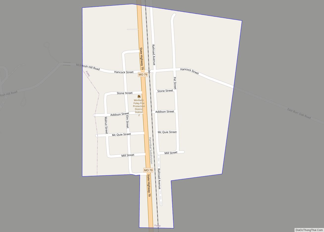
Winfield is a city in Lincoln County, Missouri, United States. The population was 1,404 at the 2010 census.
| Name: | Winfield city |
|---|---|
| LSAD Code: | 25 |
| LSAD Description: | city (suffix) |
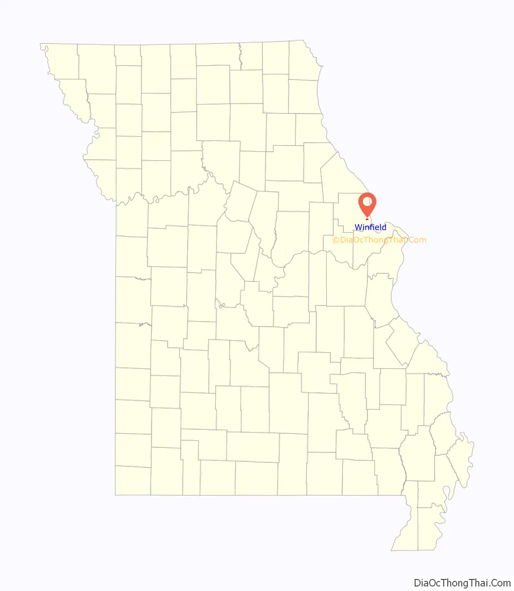
| State: | Missouri |
| County: | Lincoln County |
| Elevation: | 548 ft (167 m) |
| Total Area: | 0.85 sq mi (2.20 km²) |
| Land Area: | 0.85 sq mi (2.20 km²) |
| Water Area: | 0.00 sq mi (0.00 km²) |
| Total Population: | 1,518 |
| Population Density: | 1,787.99/sq mi (689.98/km²) |
| ZIP code: | 63389 |
| Area code: | 636 |
| FIPS code: | 2980422 |
| GNISfeature ID: | 2397345 |
| Website: | winfieldmo.org |
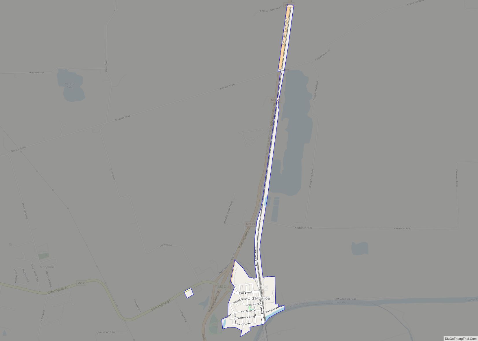
Online Interactive Map
Click on ![]() to view map in "full screen" mode.
to view map in "full screen" mode.
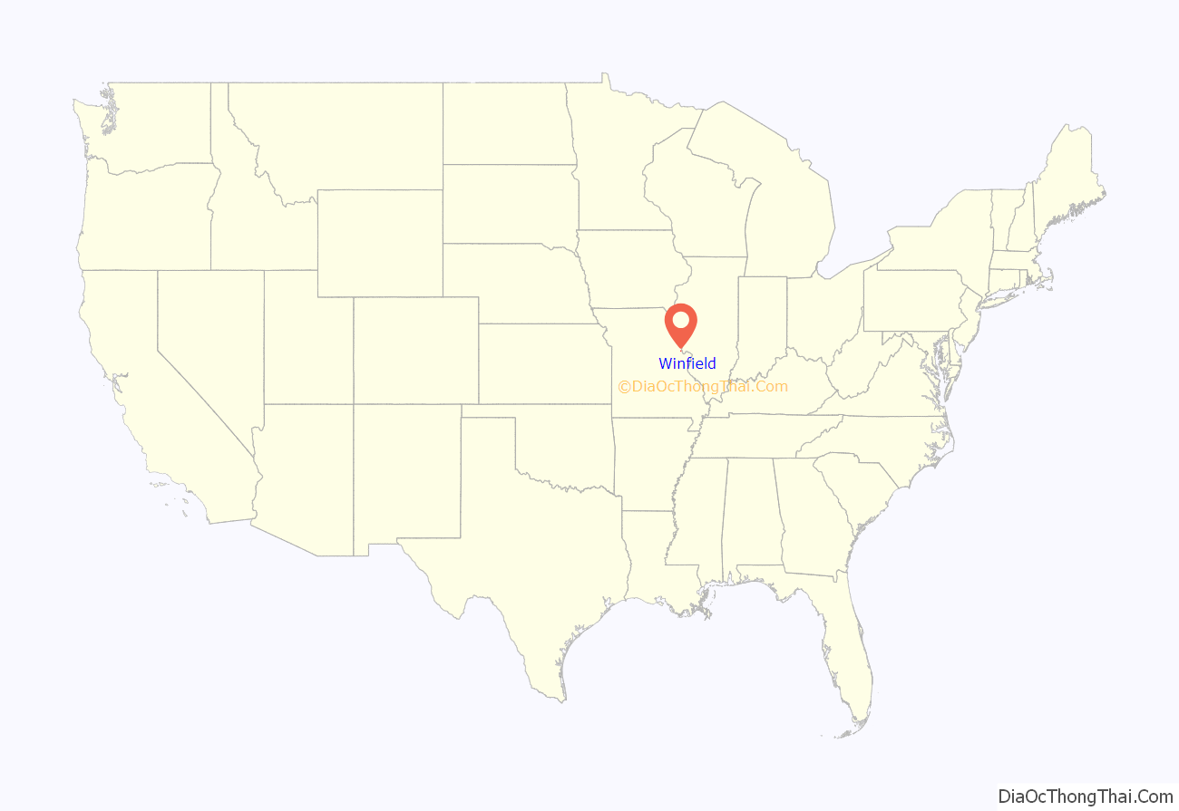
Winfield location map. Where is Winfield city?
History
Winfield was laid out in 1879, and named after Winfield Scott Killam, the original owner of the town site. A post office called Winfield has been in operation since 1880.
On June 18, 2008, floodwaters opened a 150-foot breach in a primary levee along the Mississippi River in Winfield. The breach allowed floodwaters to claim dozens of homes and large tracts of farmland and put pressure on a secondary levee. The breach also prompted Lincoln County emergency officials to order the evacuation of residents east of Winfield. Press reports noted that some evacuees were being housed at the local high school.
On April 9, 2009, Winfield made news after it elected their popular mayor, Harry Stonebraker, to a fourth term, several weeks after he died of a heart attack. This was because ballot papers had already been printed and absentee voting had begun. He won by a landslide, securing 90% of the vote by April 9.
Winfield appointed a temporary mayor to serve until a special election was held in April 2010.
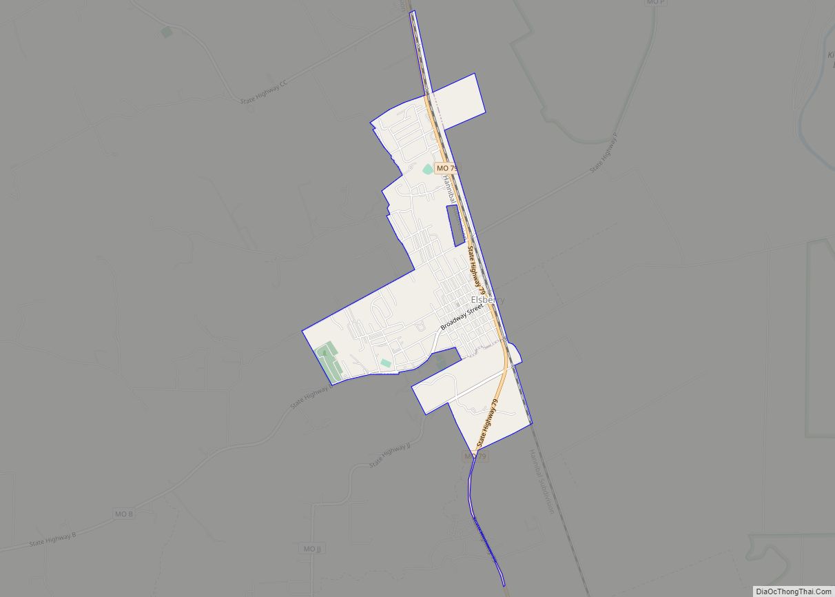
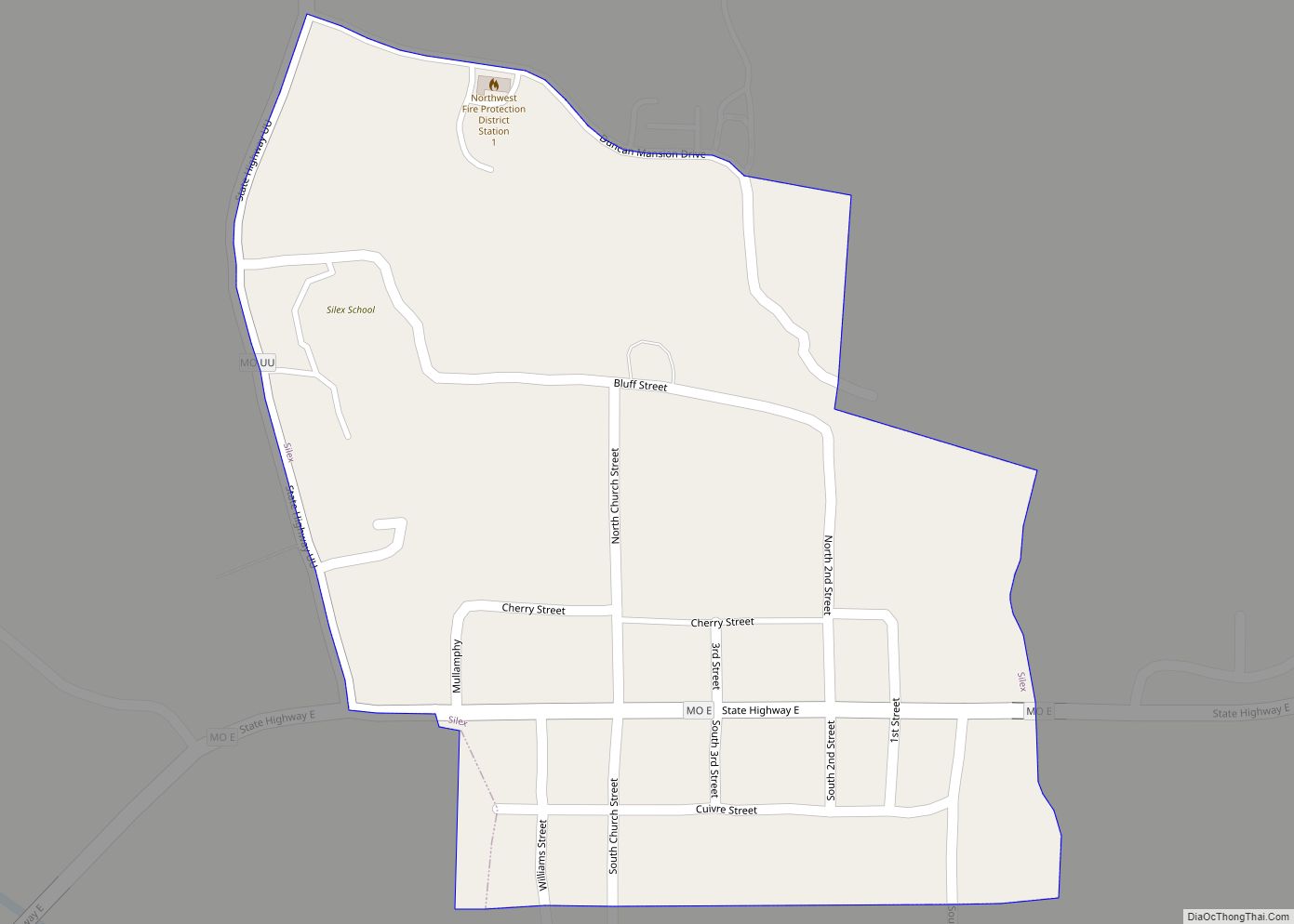
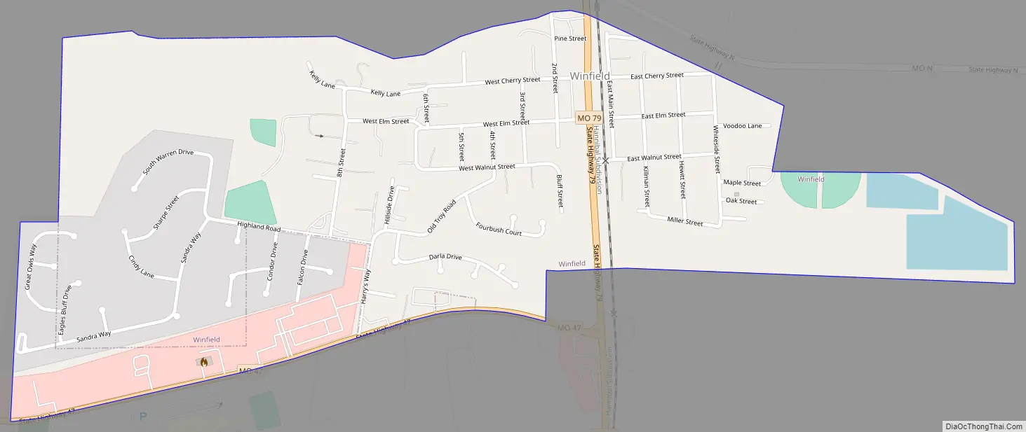
Winfield Road Map
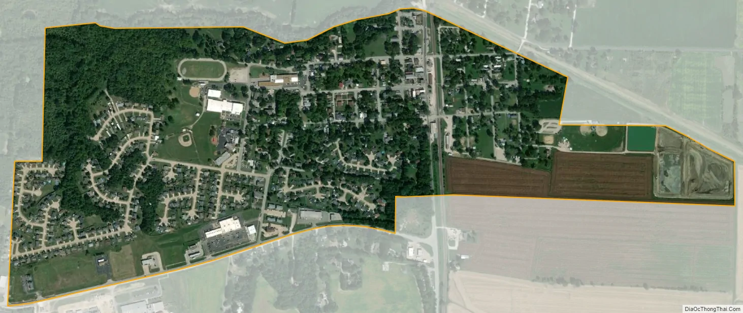
Winfield city Satellite Map
Geography
According to the United States Census Bureau, the city has a total area of 0.64 square miles (1.66 km), all land.
See also
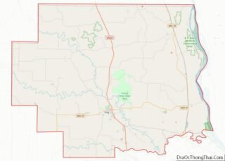
Map of Missouri State and its subdivision:- Adair
- Andrew
- Atchison
- Audrain
- Barry
- Barton
- Bates
- Benton
- Bollinger
- Boone
- Buchanan
- Butler
- Caldwell
- Callaway
- Camden
- Cape Girardeau
- Carroll
- Carter
- Cass
- Cedar
- Chariton
- Christian
- Clark
- Clay
- Clinton
- Cole
- Cooper
- Crawford
- Dade
- Dallas
- Daviess
- De Kalb
- Dent
- Douglas
- Dunklin
- Franklin
- Gasconade
- Gentry
- Greene
- Grundy
- Harrison
- Henry
- Hickory
- Holt
- Howard
- Howell
- Iron
- Jackson
- Jasper
- Jefferson
- Johnson
- Knox
- Laclede
- Lafayette
- Lawrence
- Lewis
- Lincoln
- Linn
- Livingston
- Macon
- Madison
- Maries
- Marion
- McDonald
- Mercer
- Miller
- Mississippi
- Moniteau
- Monroe
- Montgomery
- Morgan
- New Madrid
- Newton
- Nodaway
- Oregon
- Osage
- Ozark
- Pemiscot
- Perry
- Pettis
- Phelps
- Pike
- Platte
- Polk
- Pulaski
- Putnam
- Ralls
- Randolph
- Ray
- Reynolds
- Ripley
- Saint Charles
- Saint Clair
- Saint Francois
- Saint Louis
- Sainte Genevieve
- Saline
- Schuyler
- Scotland
- Scott
- Shannon
- Shelby
- Stoddard
- Stone
- Sullivan
- Taney
- Texas
- Vernon
- Warren
- Washington
- Wayne
- Webster
- Worth
- Wright
- Alabama
- Alaska
- Arizona
- Arkansas
- California
- Colorado
- Connecticut
- Delaware
- District of Columbia
- Florida
- Georgia
- Hawaii
- Idaho
- Illinois
- Indiana
- Iowa
- Kansas
- Kentucky
- Louisiana
- Maine
- Maryland
- Massachusetts
- Michigan
- Minnesota
- Mississippi
- Missouri
- Montana
- Nebraska
- Nevada
- New Hampshire
- New Jersey
- New Mexico
- New York
- North Carolina
- North Dakota
- Ohio
- Oklahoma
- Oregon
- Pennsylvania
- Rhode Island
- South Carolina
- South Dakota
- Tennessee
- Texas
- Utah
- Vermont
- Virginia
- Washington
- West Virginia
- Wisconsin
- Wyoming