Bear Grass is a town in Martin County, North Carolina, United States. The population was 73 at the 2010 census.
| Name: | Bear Grass town |
|---|---|
| LSAD Code: | 43 |
| LSAD Description: | town (suffix) |
| State: | North Carolina |
| County: | Martin County |
| Elevation: | 56 ft (17 m) |
| Total Area: | 0.25 sq mi (0.66 km²) |
| Land Area: | 0.25 sq mi (0.66 km²) |
| Water Area: | 0.00 sq mi (0.00 km²) |
| Total Population: | 89 |
| Population Density: | 350.39/sq mi (135.51/km²) |
| ZIP code: | 27892 |
| Area code: | 252 |
| FIPS code: | 3704180 |
| GNISfeature ID: | 1024491 |
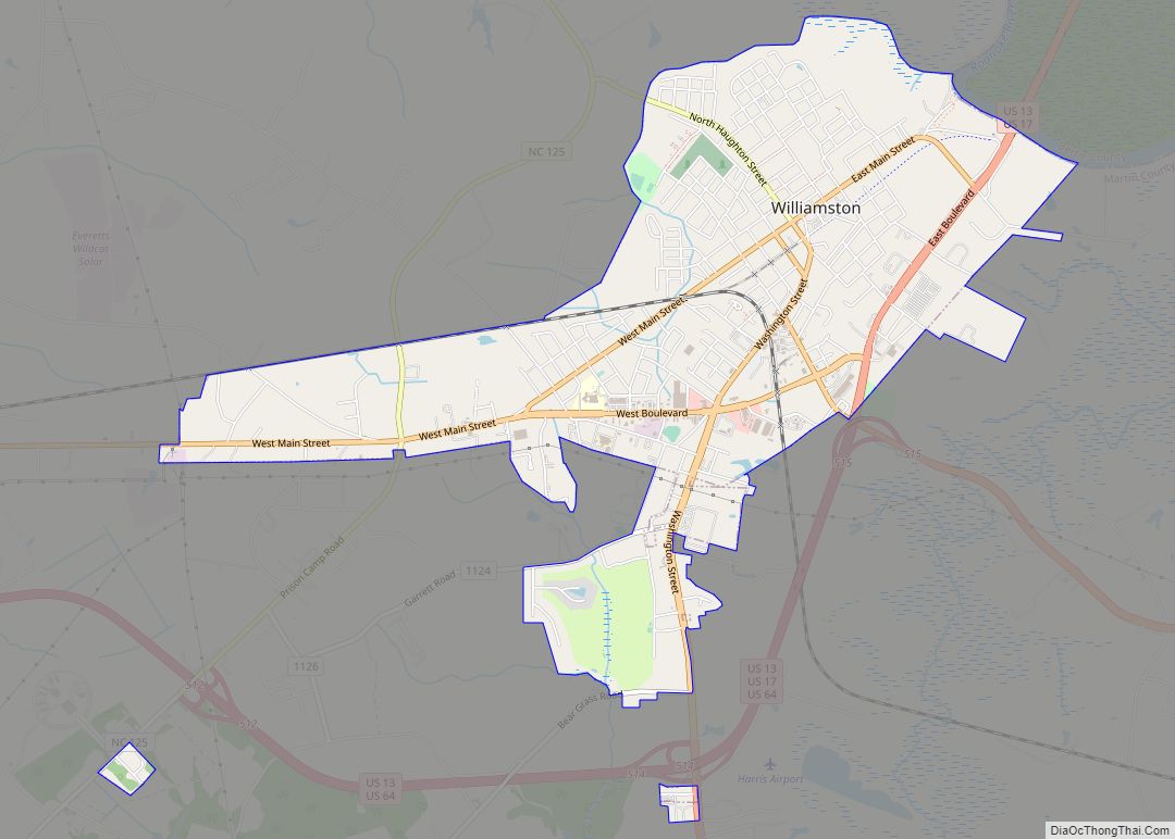
Online Interactive Map
Click on ![]() to view map in "full screen" mode.
to view map in "full screen" mode.
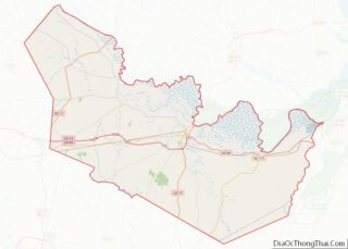
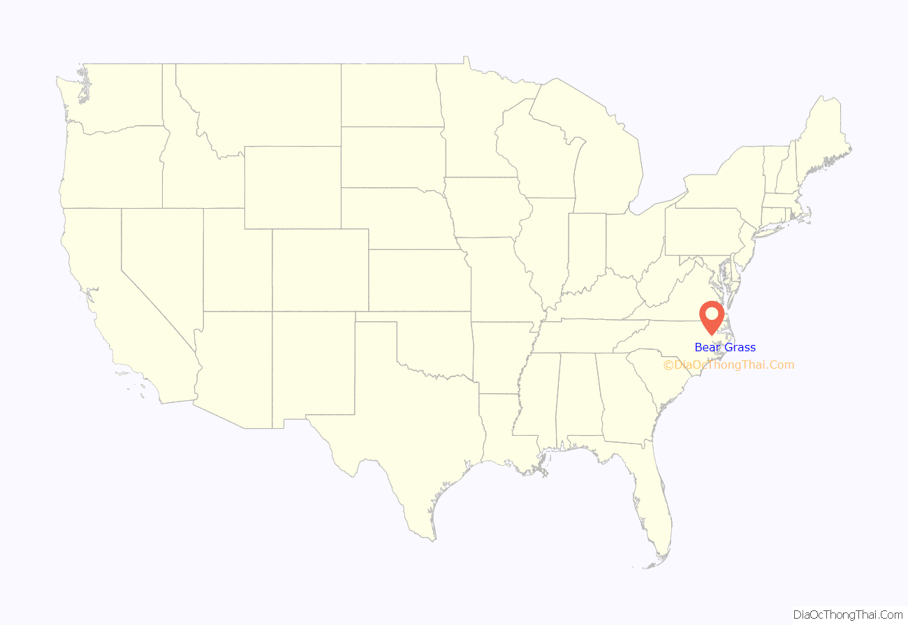
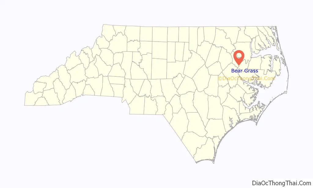
Bear Grass location map. Where is Bear Grass town?
History
The town of Bear Grass, located in the southern part of Martin County, was named for the Bear Grass, a type of yucca (Yucca flaccida) that grows less than two feet in height and is found abundantly in the region. One of the first settlers to the area was John Swinson, who received a large tract of land from the Earl of Granville, the last Lord proprietor in 1761. Bear Grass Swamp was a part of this property and was mentioned in Swinson’s deed. Many of the early settlers were farmers whose principal crops of cotton and corn were sold in towns along the Tar and Roanoke Rivers. Sheep, cattle, and hogs were also raised in large numbers and farmers often supplemented their income with shingle making, woodcrafts, and the production of tar and turpentine from the area’s abundant forests.
Though the congregation of the Bear Grass Primitive Baptist Church organized in 1828, the Bear Grass community did not emerge until after the Civil War. A public school constructed of logs started by the late 1860s directly across the street from the existing school. Reuben H. Rogerson opened a general mercantile store in the 1880s, followed in the early 1900s by several additional general merchandise stores and a blacksmith shop. The community’s development was hindered by it not being located along a navigable stream or on either of the railroad lines traversing Martin County. A post office was established in 1885, although it was closed less than two years later.
Records are limited, complicated by the fact that Bear Grass businesses were listed in directories with Williamston addresses because that was the nearest post office. But by the turn of the century, the community consisted of several legal distilleries, cotton gins, sawmills, grist mills and blacksmith shops. Reuben H. Rogerson’s two story steam-powered sawmill and cotton gin was one of the area’s largest before being destroyed by fire in November 1908.
The first decade of the 20th century witnessed considerable growth in the community. After several meetings in early 1909, the town’s merchants drew up a charter and on February 16, 1909, the General Assembly granted a charter to the town of Bear Grass.
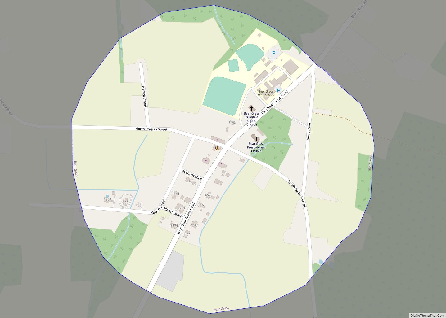
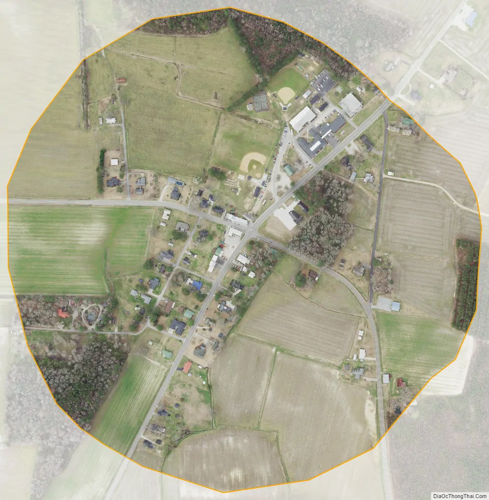
An unusual physical feature of the town is that, when incorporated, the boundary was a circle with a radius of 500 yards from a white oak “near a well at the stores of Rogers Brothers and Cowing [sic] Brothers.” These limits remain today, making Bear Grass one of the few towns in the state laid out in this manner.
Because residents had more pressing concerns during the Great Depression, town government became dormant in 1934 and was not reactivated until June 21, 1961.
Local artist Henry C. Cowen created two statues that enliven the Bear Grass School campus. The “rampant bear” statue standing in front of the school was sculpted in 1981. The statue of George Washington in front of the Yucca House (formerly the Bear Grass School teacherage) was commissioned by the Bear Grass Ruritan Club in honor of the country’s constitutional bicentennial in 1987. Cowen also produced several war memorial soldiers located on the corner of Green Street and Ayers Avenue.
Beginning in 2014, Bear Grass hosts the annual Chicken Mull Festival. Chicken mull is a local comfort food consisting of parboiled chicken, broth, crushed soda crackers, chopped boiled eggs and seasoning. The festival is held each year in the fall, and includes the sale of locally made goods, fundraisers for various local organizations, sale of chicken mull, and other festivities. Musical presentations by gospel, country and bluegrass bands are also included.
Bear Grass Road Map
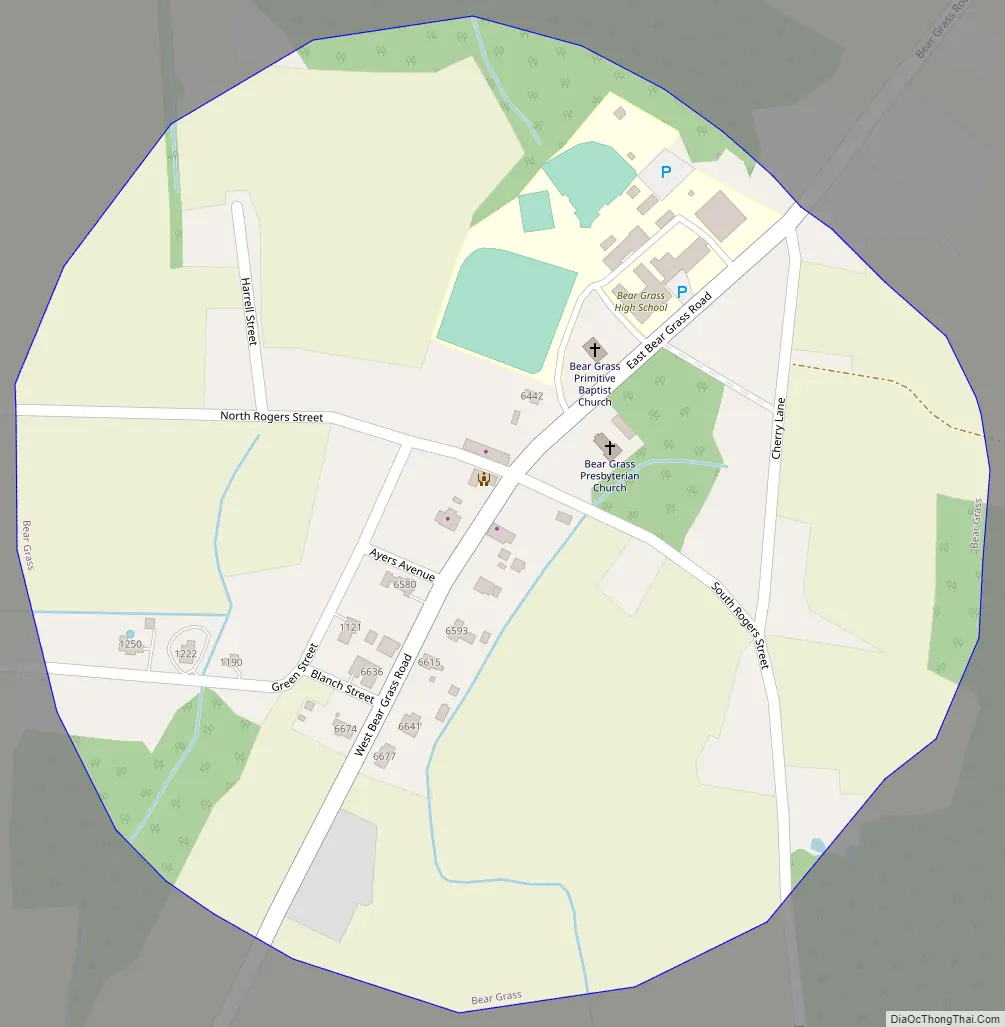
Bear Grass city Satellite Map
Geography
Bear Grass is located at 35°45′58″N 77°7′46″W / 35.76611°N 77.12944°W / 35.76611; -77.12944 (35.765988, -77.129453).
According to the United States Census Bureau, the town has a total area of 0.3 square miles (0.78 km), all land.
It is one of the few incorporated areas of North Carolina that does not host any primary numbered state highways (0-999).
See also
Map of North Carolina State and its subdivision:- Alamance
- Alexander
- Alleghany
- Anson
- Ashe
- Avery
- Beaufort
- Bertie
- Bladen
- Brunswick
- Buncombe
- Burke
- Cabarrus
- Caldwell
- Camden
- Carteret
- Caswell
- Catawba
- Chatham
- Cherokee
- Chowan
- Clay
- Cleveland
- Columbus
- Craven
- Cumberland
- Currituck
- Dare
- Davidson
- Davie
- Duplin
- Durham
- Edgecombe
- Forsyth
- Franklin
- Gaston
- Gates
- Graham
- Granville
- Greene
- Guilford
- Halifax
- Harnett
- Haywood
- Henderson
- Hertford
- Hoke
- Hyde
- Iredell
- Jackson
- Johnston
- Jones
- Lee
- Lenoir
- Lincoln
- Macon
- Madison
- Martin
- McDowell
- Mecklenburg
- Mitchell
- Montgomery
- Moore
- Nash
- New Hanover
- Northampton
- Onslow
- Orange
- Pamlico
- Pasquotank
- Pender
- Perquimans
- Person
- Pitt
- Polk
- Randolph
- Richmond
- Robeson
- Rockingham
- Rowan
- Rutherford
- Sampson
- Scotland
- Stanly
- Stokes
- Surry
- Swain
- Transylvania
- Tyrrell
- Union
- Vance
- Wake
- Warren
- Washington
- Watauga
- Wayne
- Wilkes
- Wilson
- Yadkin
- Yancey
- Alabama
- Alaska
- Arizona
- Arkansas
- California
- Colorado
- Connecticut
- Delaware
- District of Columbia
- Florida
- Georgia
- Hawaii
- Idaho
- Illinois
- Indiana
- Iowa
- Kansas
- Kentucky
- Louisiana
- Maine
- Maryland
- Massachusetts
- Michigan
- Minnesota
- Mississippi
- Missouri
- Montana
- Nebraska
- Nevada
- New Hampshire
- New Jersey
- New Mexico
- New York
- North Carolina
- North Dakota
- Ohio
- Oklahoma
- Oregon
- Pennsylvania
- Rhode Island
- South Carolina
- South Dakota
- Tennessee
- Texas
- Utah
- Vermont
- Virginia
- Washington
- West Virginia
- Wisconsin
- Wyoming