Clarkton is a town in Bladen County, North Carolina, United States. The population was 837 at the 2010 census.
| Name: | Clarkton town |
|---|---|
| LSAD Code: | 43 |
| LSAD Description: | town (suffix) |
| State: | North Carolina |
| County: | Bladen County |
| Elevation: | 92 ft (28 m) |
| Total Area: | 1.25 sq mi (3.24 km²) |
| Land Area: | 1.25 sq mi (3.23 km²) |
| Water Area: | 0.01 sq mi (0.02 km²) |
| Total Population: | 614 |
| Population Density: | 492.78/sq mi (190.31/km²) |
| ZIP code: | 28433 |
| FIPS code: | 3712780 |
| GNISfeature ID: | 1025246 |
Online Interactive Map
Click on ![]() to view map in "full screen" mode.
to view map in "full screen" mode.
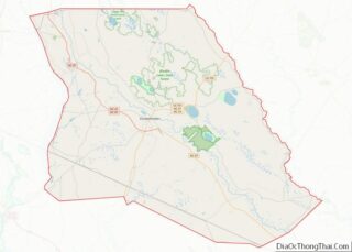
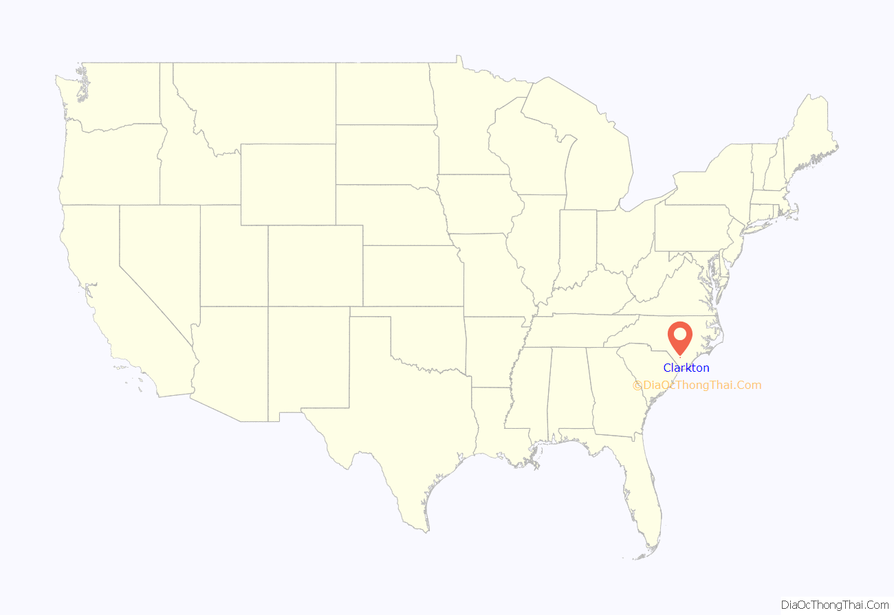
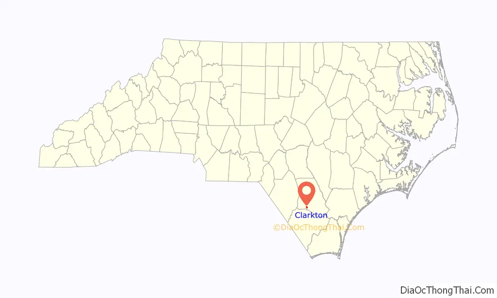
Clarkton location map. Where is Clarkton town?
History
The Brown Marsh Presbyterian Church, John Hector Clark House, and Clarkton Depot are listed on the National Register of Historic Places.
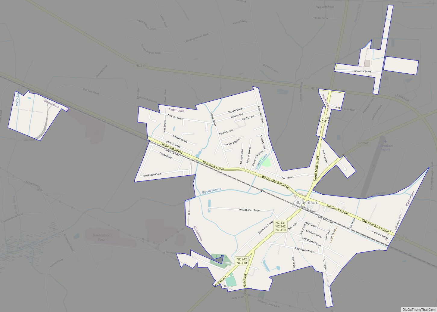
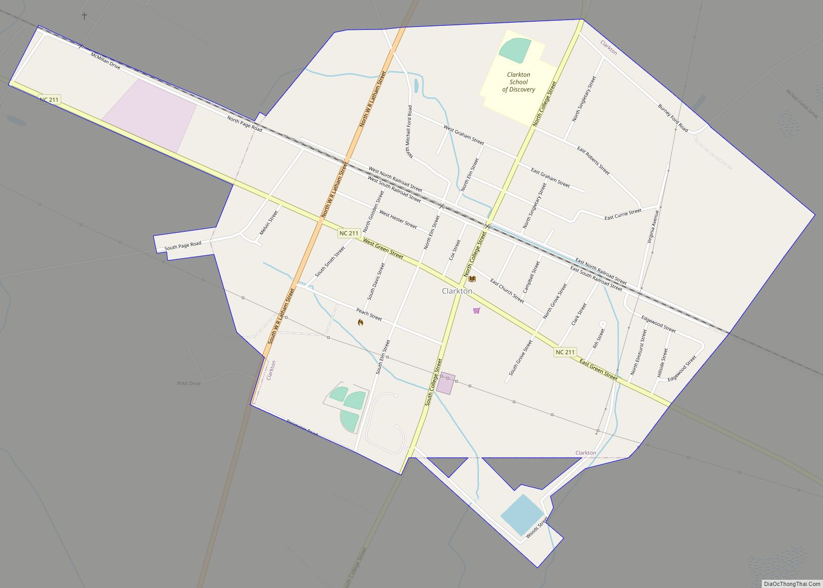
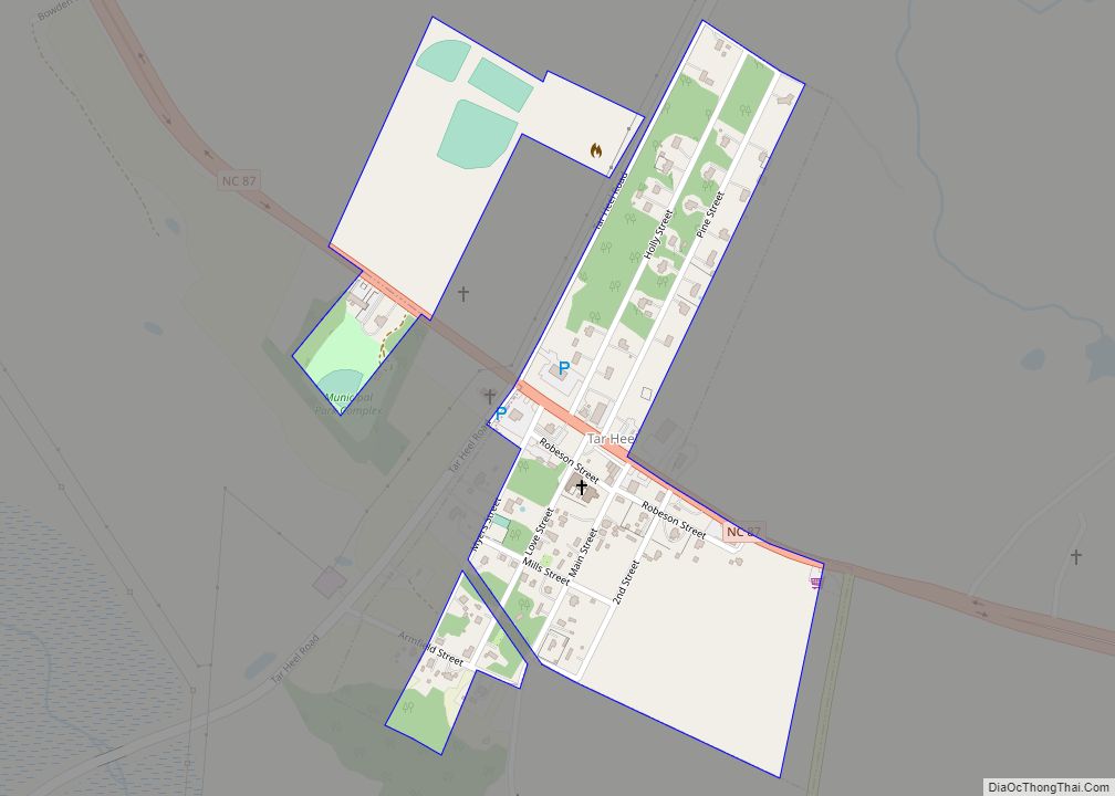
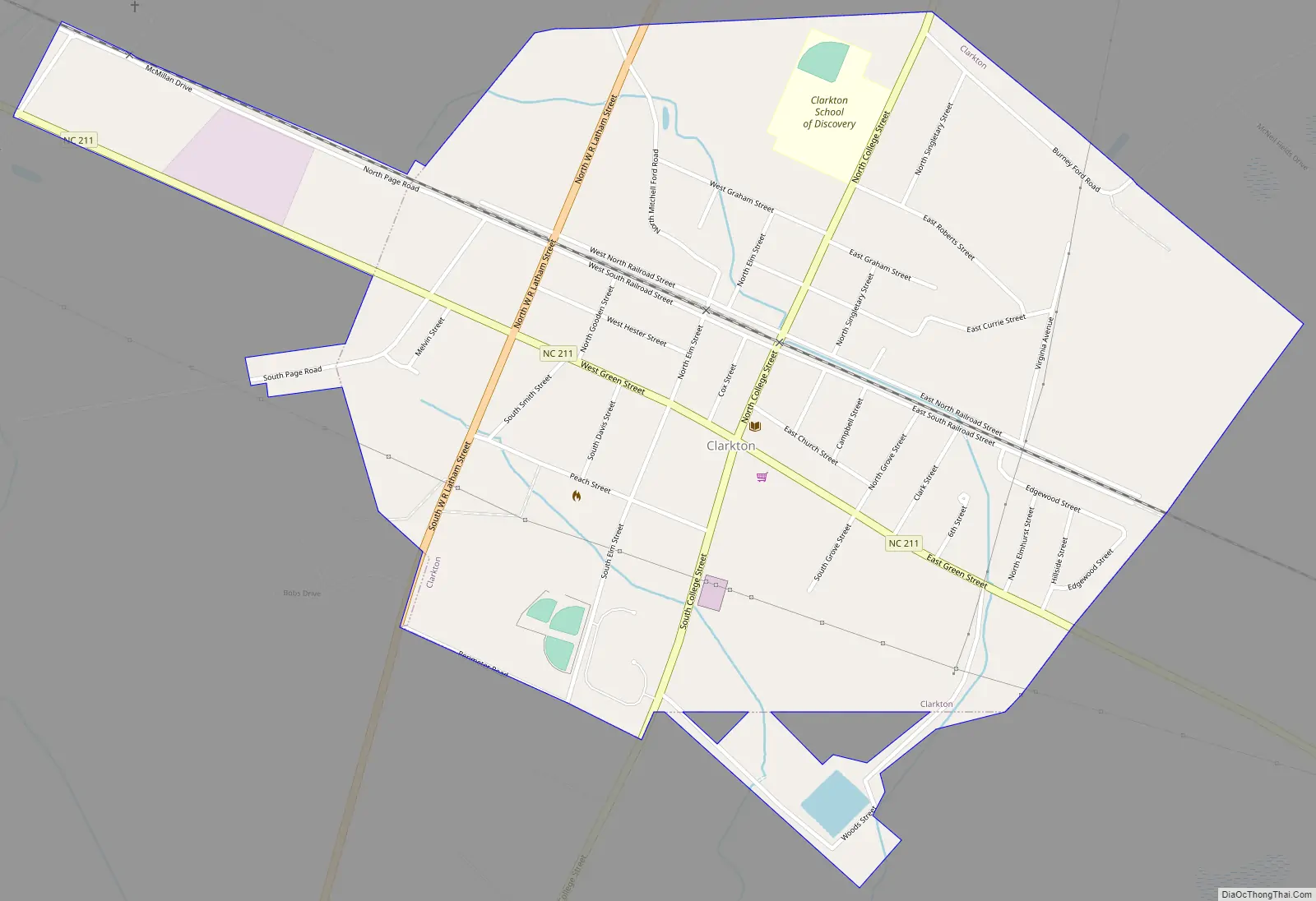
Clarkton Road Map
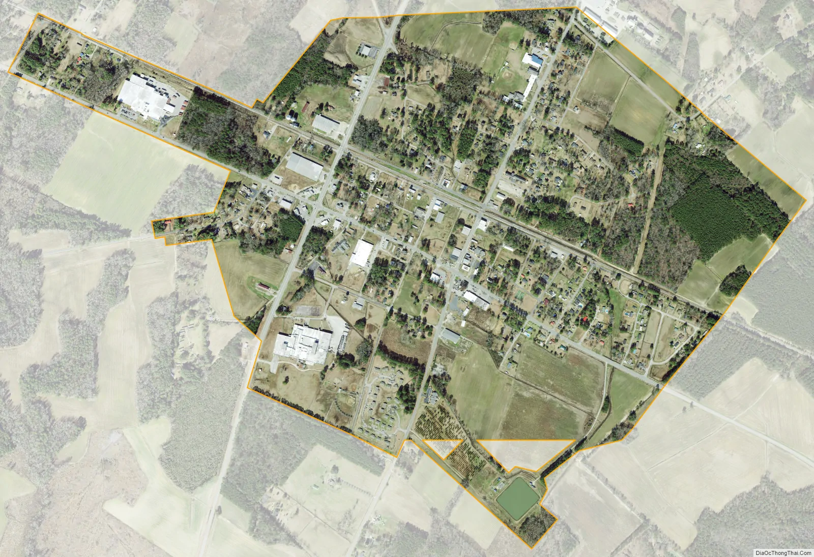
Clarkton city Satellite Map
Geography
Clarkton is located at 34°29′22″N 78°39′24″W / 34.48944°N 78.65667°W / 34.48944; -78.65667 (34.489425, -78.656804), at the crossroads of North Carolina Highway 211 and U.S. Route 701, 11 miles (18 km) south of Elizabethtown and the Cape Fear River. The closest town to Clarkton is Bladenboro, 8 miles (13 km) to the west on NC 211. Another important transit route that enters Clarkton is the CSX Railroad, that parallels North and South Railroad Streets through the town.
The town lies within the Carolina Border Belt, a regional network of tobacco markets and warehouses along both sides of the North Carolina-South Carolina border.
According to the United States Census Bureau, the town has a total area of 1.2 square miles (3.2 km), of which 0.008 square miles (0.02 km), or 0.57%, is water.
See also
Map of North Carolina State and its subdivision:- Alamance
- Alexander
- Alleghany
- Anson
- Ashe
- Avery
- Beaufort
- Bertie
- Bladen
- Brunswick
- Buncombe
- Burke
- Cabarrus
- Caldwell
- Camden
- Carteret
- Caswell
- Catawba
- Chatham
- Cherokee
- Chowan
- Clay
- Cleveland
- Columbus
- Craven
- Cumberland
- Currituck
- Dare
- Davidson
- Davie
- Duplin
- Durham
- Edgecombe
- Forsyth
- Franklin
- Gaston
- Gates
- Graham
- Granville
- Greene
- Guilford
- Halifax
- Harnett
- Haywood
- Henderson
- Hertford
- Hoke
- Hyde
- Iredell
- Jackson
- Johnston
- Jones
- Lee
- Lenoir
- Lincoln
- Macon
- Madison
- Martin
- McDowell
- Mecklenburg
- Mitchell
- Montgomery
- Moore
- Nash
- New Hanover
- Northampton
- Onslow
- Orange
- Pamlico
- Pasquotank
- Pender
- Perquimans
- Person
- Pitt
- Polk
- Randolph
- Richmond
- Robeson
- Rockingham
- Rowan
- Rutherford
- Sampson
- Scotland
- Stanly
- Stokes
- Surry
- Swain
- Transylvania
- Tyrrell
- Union
- Vance
- Wake
- Warren
- Washington
- Watauga
- Wayne
- Wilkes
- Wilson
- Yadkin
- Yancey
- Alabama
- Alaska
- Arizona
- Arkansas
- California
- Colorado
- Connecticut
- Delaware
- District of Columbia
- Florida
- Georgia
- Hawaii
- Idaho
- Illinois
- Indiana
- Iowa
- Kansas
- Kentucky
- Louisiana
- Maine
- Maryland
- Massachusetts
- Michigan
- Minnesota
- Mississippi
- Missouri
- Montana
- Nebraska
- Nevada
- New Hampshire
- New Jersey
- New Mexico
- New York
- North Carolina
- North Dakota
- Ohio
- Oklahoma
- Oregon
- Pennsylvania
- Rhode Island
- South Carolina
- South Dakota
- Tennessee
- Texas
- Utah
- Vermont
- Virginia
- Washington
- West Virginia
- Wisconsin
- Wyoming