Cleveland is a town in the Cleveland Township of Rowan County, North Carolina, United States. The population was 871 at the 2010 census.
| Name: | Cleveland town |
|---|---|
| LSAD Code: | 43 |
| LSAD Description: | town (suffix) |
| State: | North Carolina |
| County: | Rowan County |
| Elevation: | 807 ft (246 m) |
| Total Area: | 1.53 sq mi (3.98 km²) |
| Land Area: | 1.53 sq mi (3.98 km²) |
| Water Area: | 0.00 sq mi (0.00 km²) |
| Total Population: | 846 |
| Population Density: | 551.14/sq mi (212.79/km²) |
| ZIP code: | 27013 |
| Area code: | 704, 980 |
| FIPS code: | 3713000 |
| GNISfeature ID: | 1019695 |
| Website: | townofclevelandnc.gov |
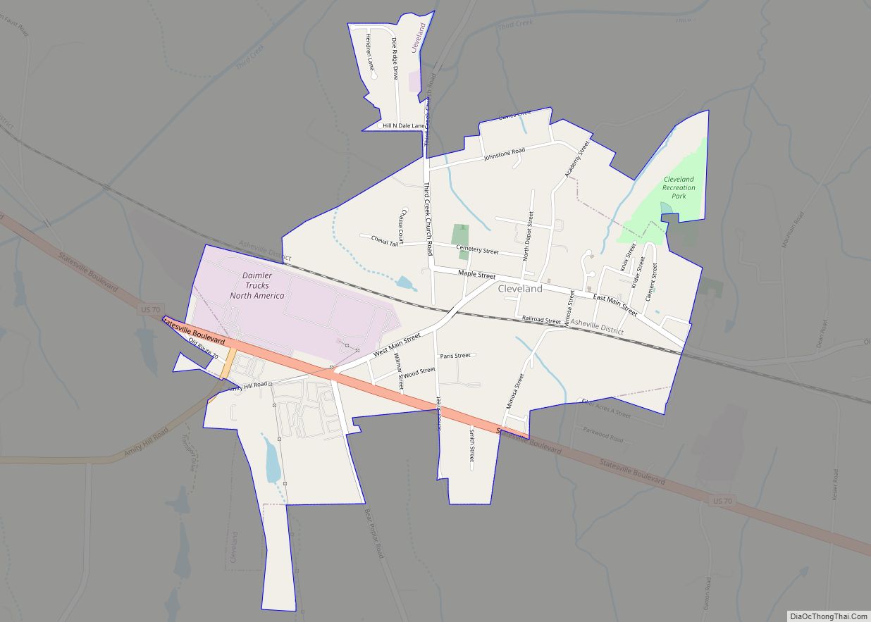
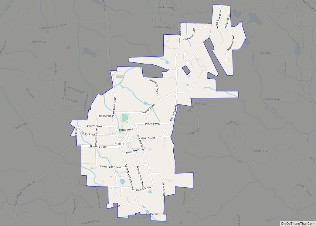
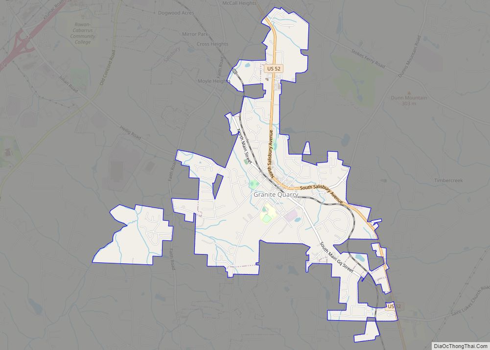
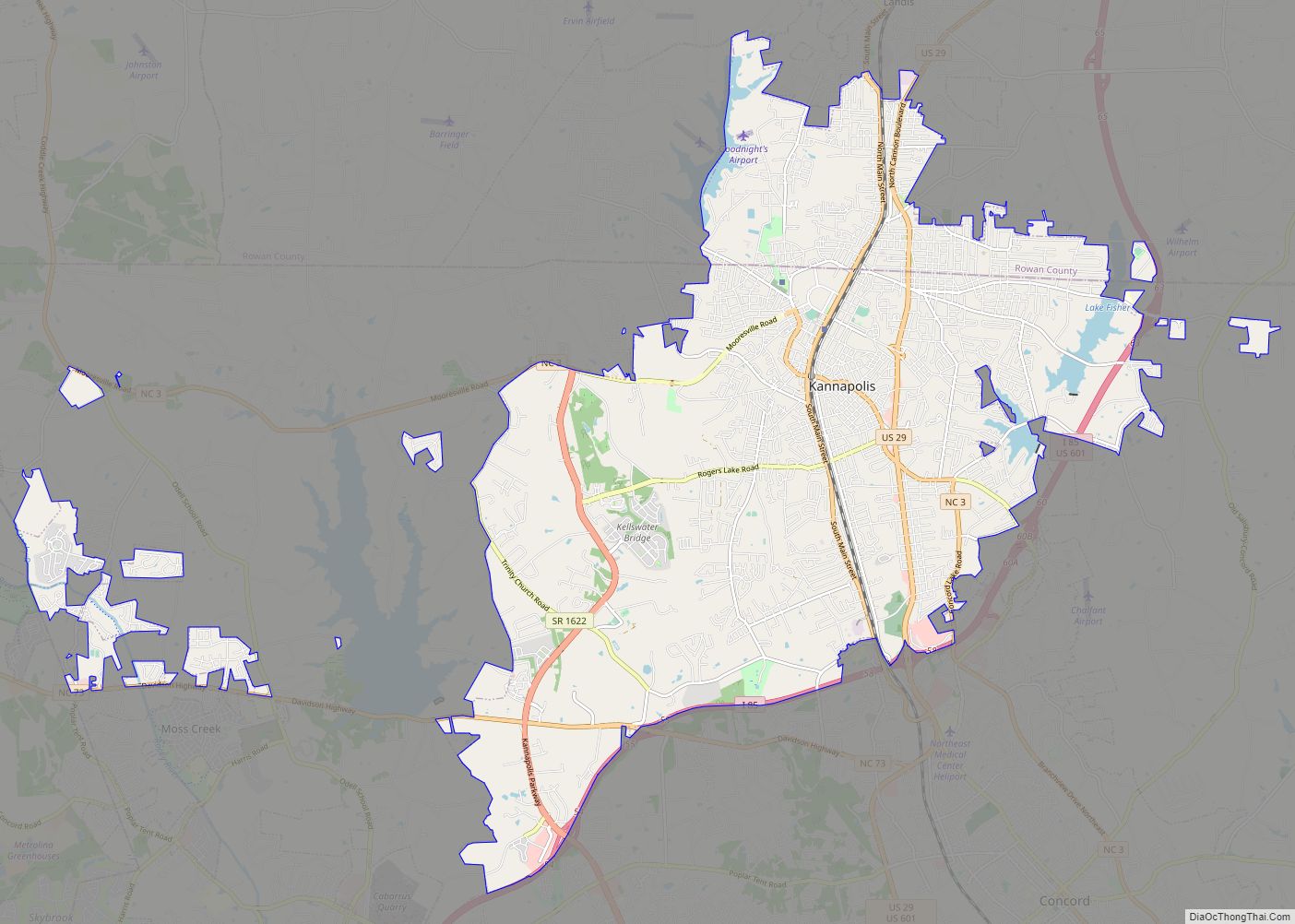
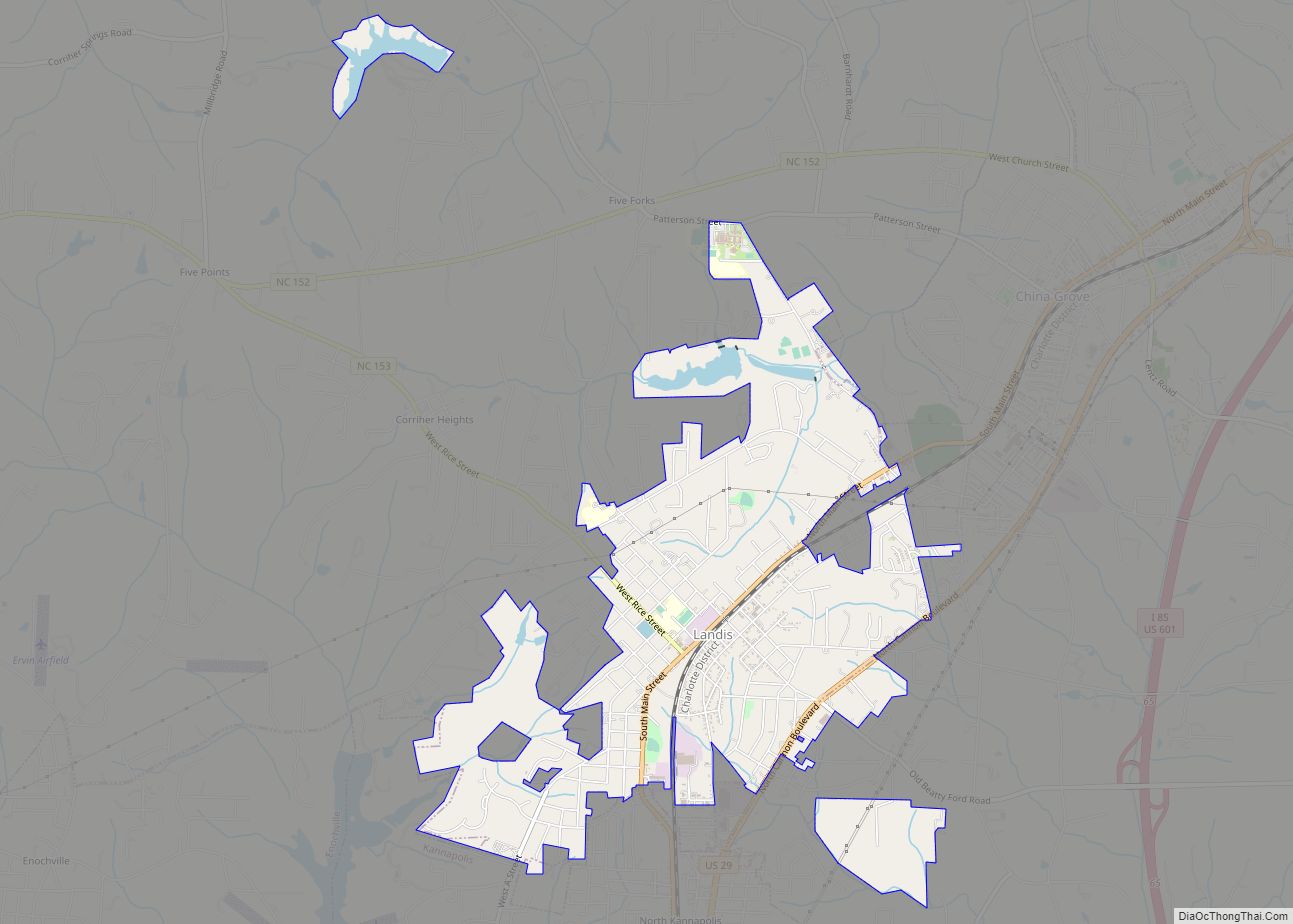
Online Interactive Map
Click on ![]() to view map in "full screen" mode.
to view map in "full screen" mode.
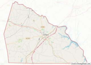
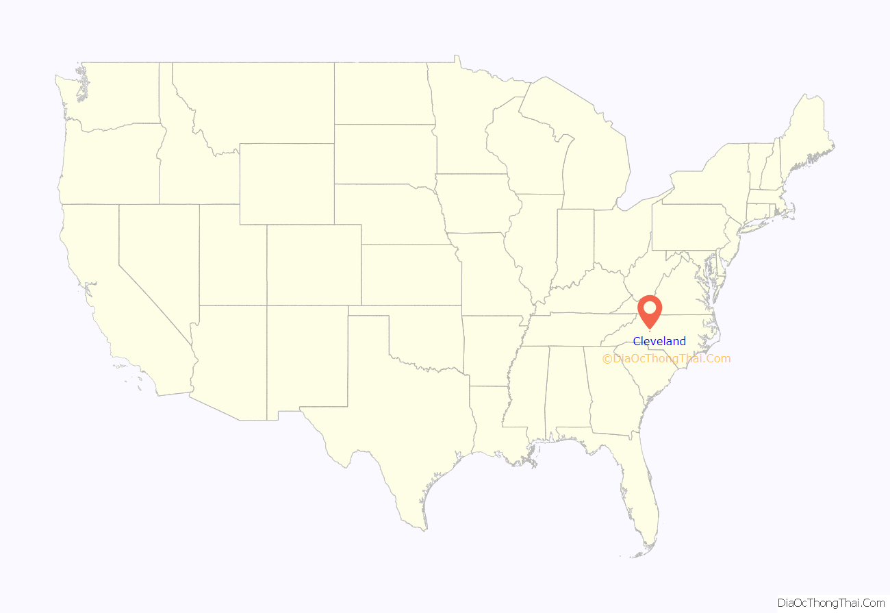
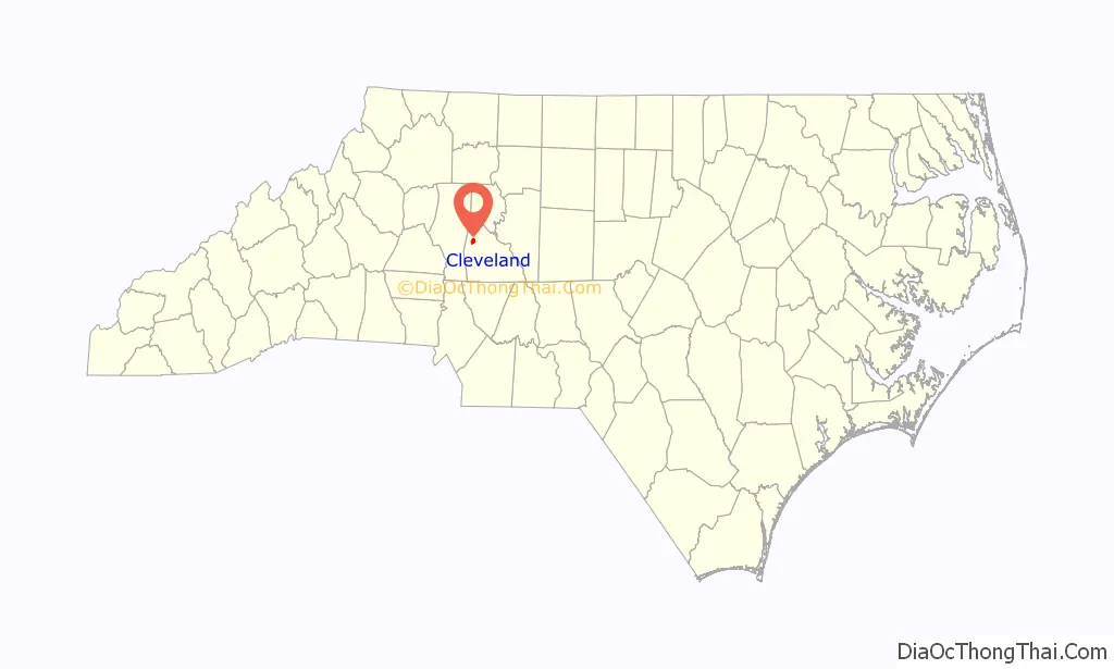
Cleveland location map. Where is Cleveland town?
History
The town dates from 1831 but was not incorporated until 1833. The first post office in Cleveland, Cowansville, was established in 1831. By 1850, prior to the US Civil War and the completion of the Western Carolina Railroad, the town was named Rowan Mills. Rowan Mills was named for the five story flour mill that Osborn Giles Foard owned in Cleveland. The Rowan Mills Post Office served the area north of the rail line and extended into Scotch Irish Township after the Civil War in 1870. The town and post office kept the name Rowan Mills until 1876 when it was renamed Third Creek Station. In the 1880 U.S. Census, there were 17 families and 89 persons living in the Village of Third Creek Station. It was not until 1884 that the townspeople renamed the town after Grover Cleveland, who is supposed to have visited the town during his presidential campaign.
Cleveland Road Map
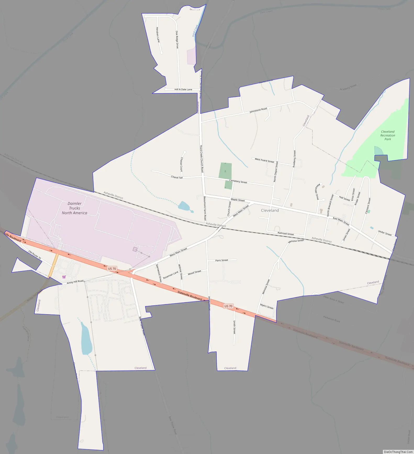
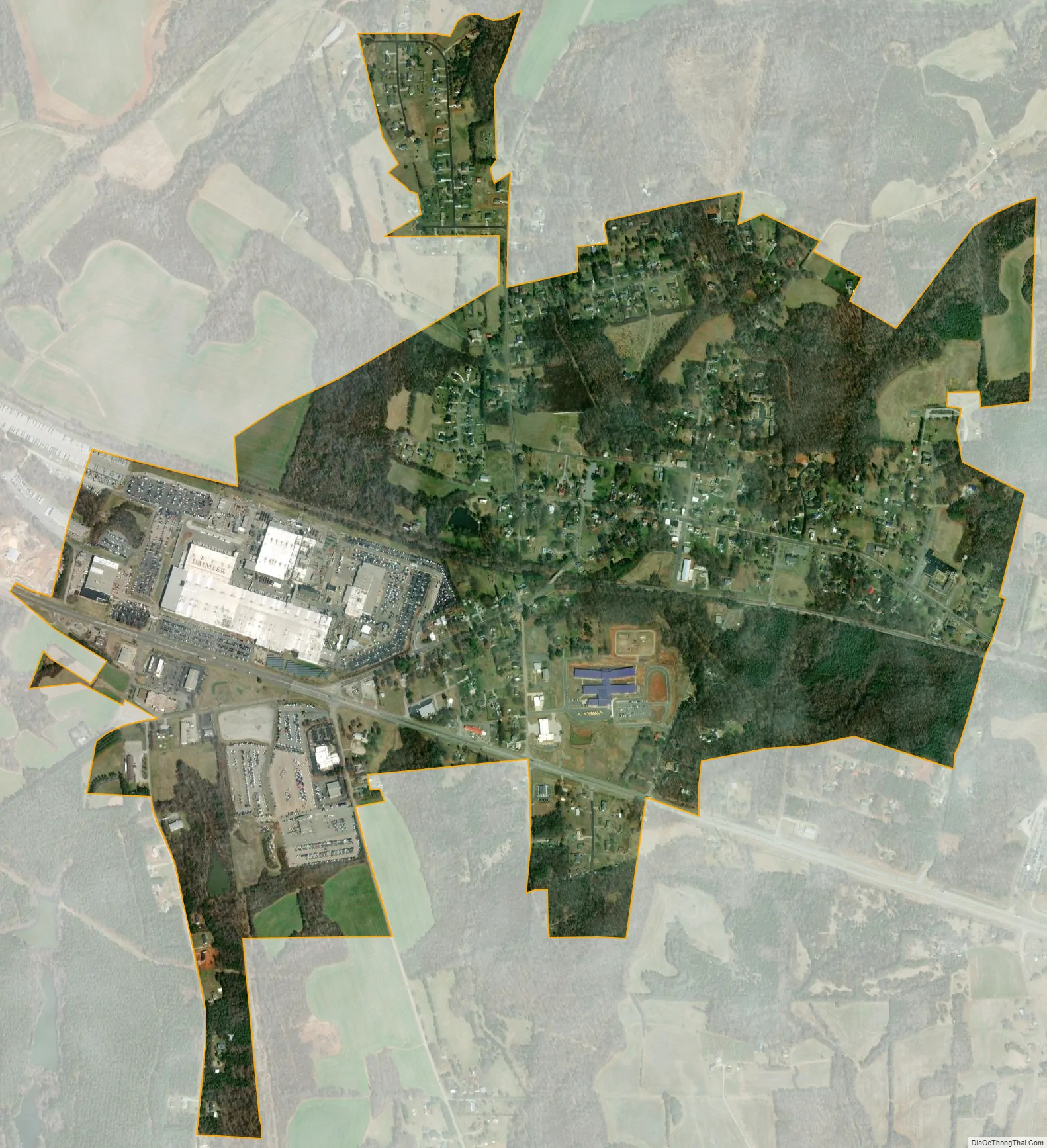
Cleveland city Satellite Map
Geography
Cleveland is located at 35°43′52″N 80°40′44″W / 35.73111°N 80.67889°W / 35.73111; -80.67889 (35.731021, -80.678963).
According to the United States Census Bureau, the town has a total area of 1.5 square miles (3.9 km), all land.
See also
Map of North Carolina State and its subdivision:- Alamance
- Alexander
- Alleghany
- Anson
- Ashe
- Avery
- Beaufort
- Bertie
- Bladen
- Brunswick
- Buncombe
- Burke
- Cabarrus
- Caldwell
- Camden
- Carteret
- Caswell
- Catawba
- Chatham
- Cherokee
- Chowan
- Clay
- Cleveland
- Columbus
- Craven
- Cumberland
- Currituck
- Dare
- Davidson
- Davie
- Duplin
- Durham
- Edgecombe
- Forsyth
- Franklin
- Gaston
- Gates
- Graham
- Granville
- Greene
- Guilford
- Halifax
- Harnett
- Haywood
- Henderson
- Hertford
- Hoke
- Hyde
- Iredell
- Jackson
- Johnston
- Jones
- Lee
- Lenoir
- Lincoln
- Macon
- Madison
- Martin
- McDowell
- Mecklenburg
- Mitchell
- Montgomery
- Moore
- Nash
- New Hanover
- Northampton
- Onslow
- Orange
- Pamlico
- Pasquotank
- Pender
- Perquimans
- Person
- Pitt
- Polk
- Randolph
- Richmond
- Robeson
- Rockingham
- Rowan
- Rutherford
- Sampson
- Scotland
- Stanly
- Stokes
- Surry
- Swain
- Transylvania
- Tyrrell
- Union
- Vance
- Wake
- Warren
- Washington
- Watauga
- Wayne
- Wilkes
- Wilson
- Yadkin
- Yancey
- Alabama
- Alaska
- Arizona
- Arkansas
- California
- Colorado
- Connecticut
- Delaware
- District of Columbia
- Florida
- Georgia
- Hawaii
- Idaho
- Illinois
- Indiana
- Iowa
- Kansas
- Kentucky
- Louisiana
- Maine
- Maryland
- Massachusetts
- Michigan
- Minnesota
- Mississippi
- Missouri
- Montana
- Nebraska
- Nevada
- New Hampshire
- New Jersey
- New Mexico
- New York
- North Carolina
- North Dakota
- Ohio
- Oklahoma
- Oregon
- Pennsylvania
- Rhode Island
- South Carolina
- South Dakota
- Tennessee
- Texas
- Utah
- Vermont
- Virginia
- Washington
- West Virginia
- Wisconsin
- Wyoming