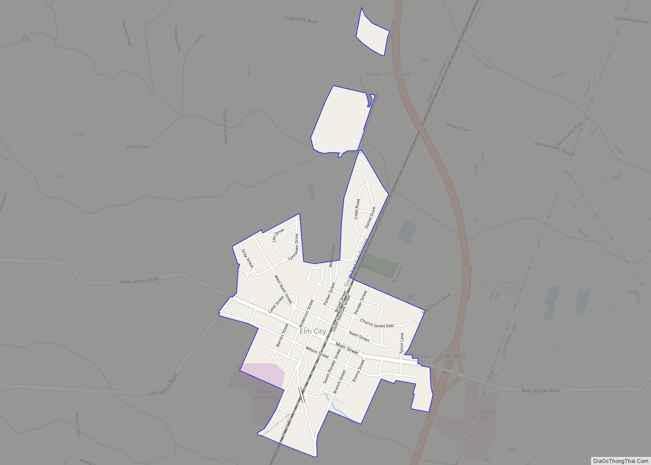
Elm City is a town in Wilson County, North Carolina, United States. The population was 1,298 in 2010.
| Name: | Elm City town |
|---|---|
| LSAD Code: | 43 |
| LSAD Description: | town (suffix) |
| State: | North Carolina |
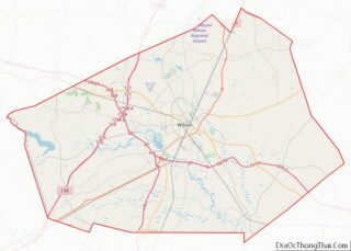
| County: | Wilson County |
| Elevation: | 135 ft (41 m) |
| Total Area: | 2.16 sq mi (5.59 km²) |
| Land Area: | 2.15 sq mi (5.57 km²) |
| Water Area: | 0.01 sq mi (0.02 km²) |
| Total Population: | 1,218 |
| Population Density: | 566.25/sq mi (218.68/km²) |
| ZIP code: | 27822 |
| Area code: | 252 |
| FIPS code: | 3720980 |
| GNISfeature ID: | 1020141 |
| Website: | elmcitync.com/ |
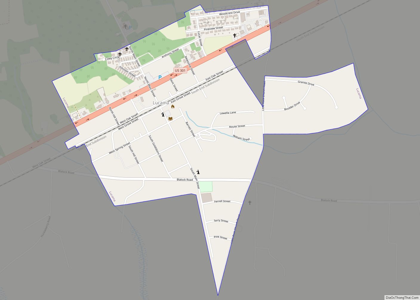
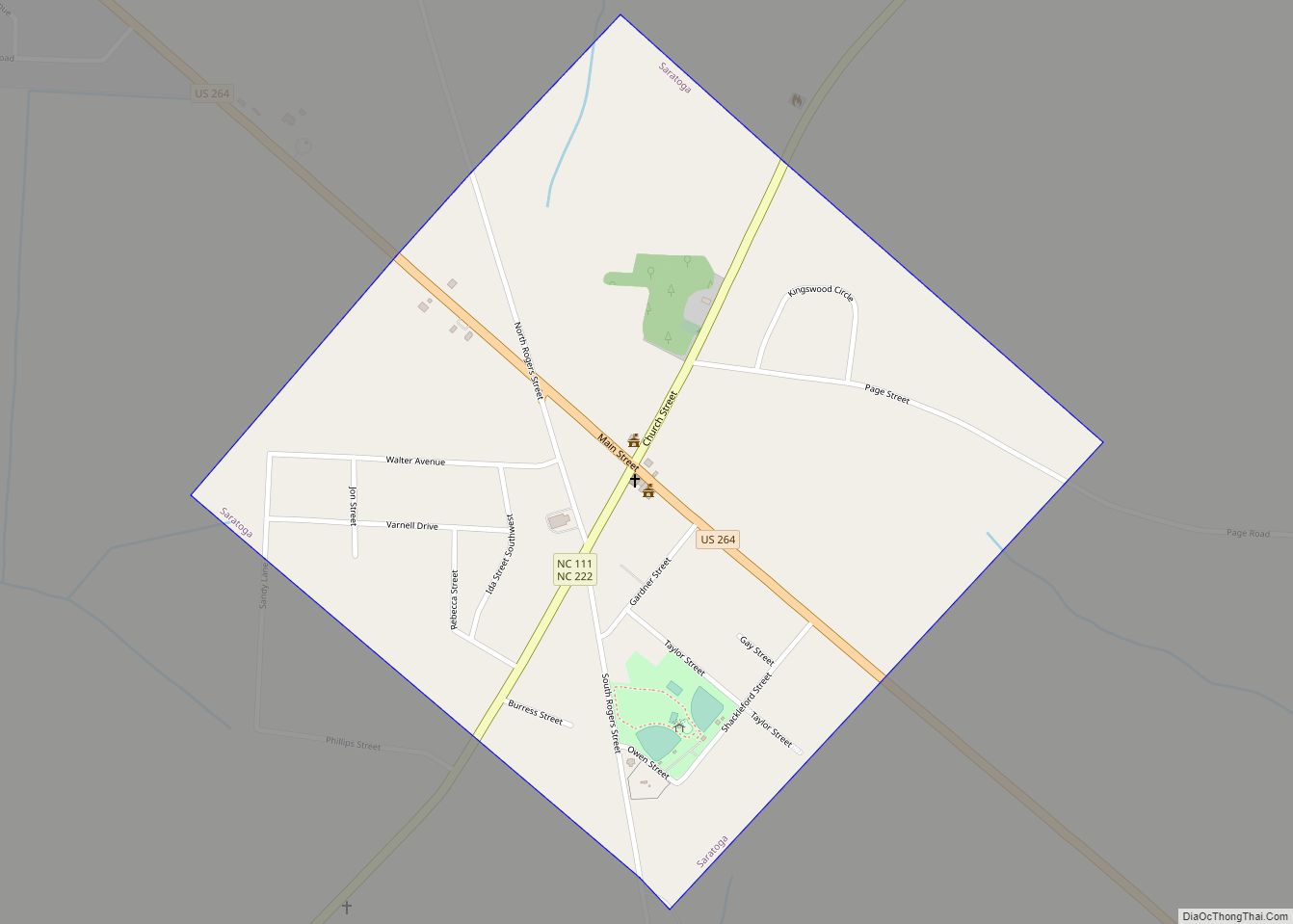
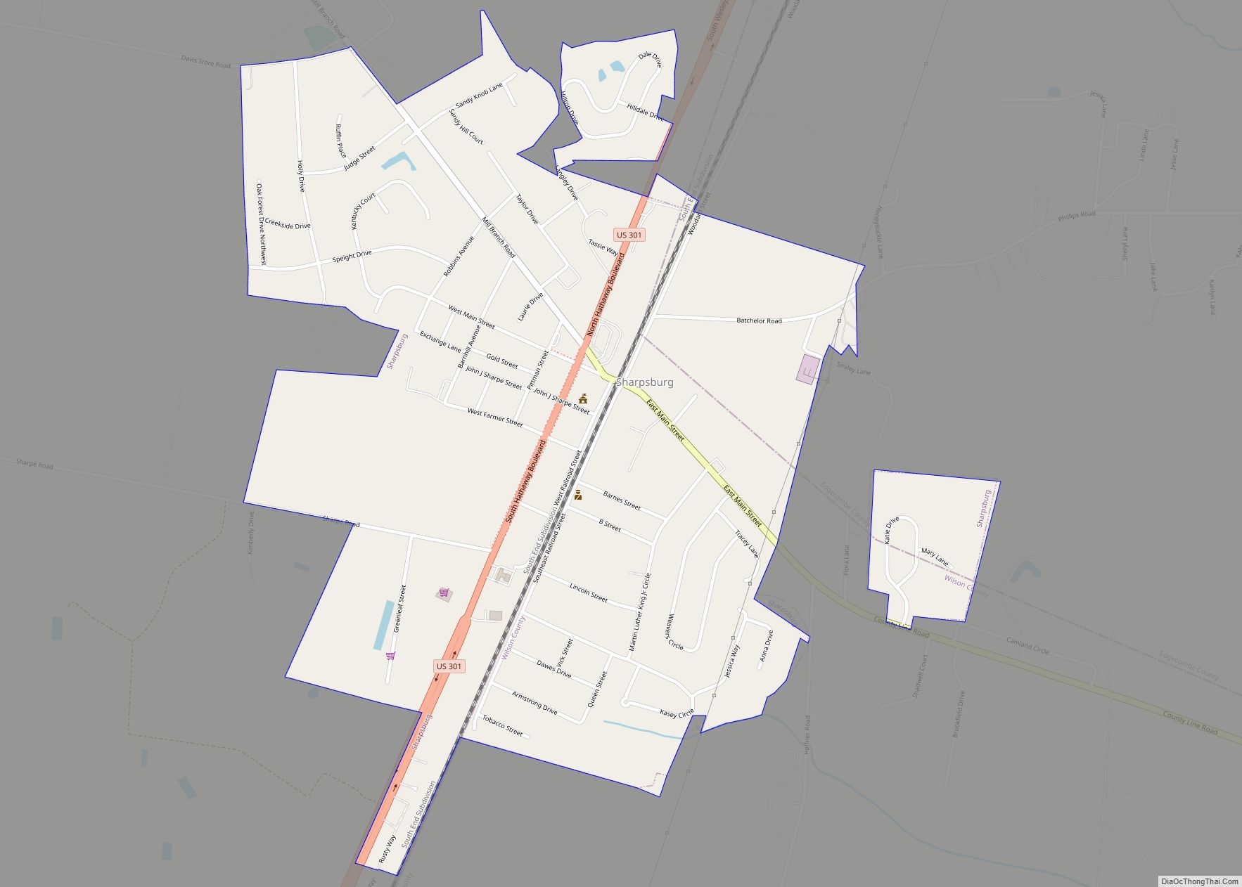
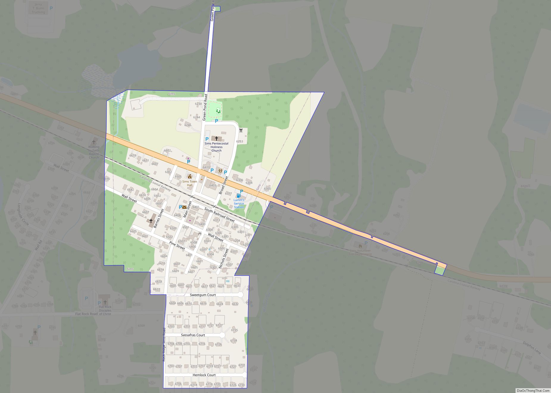
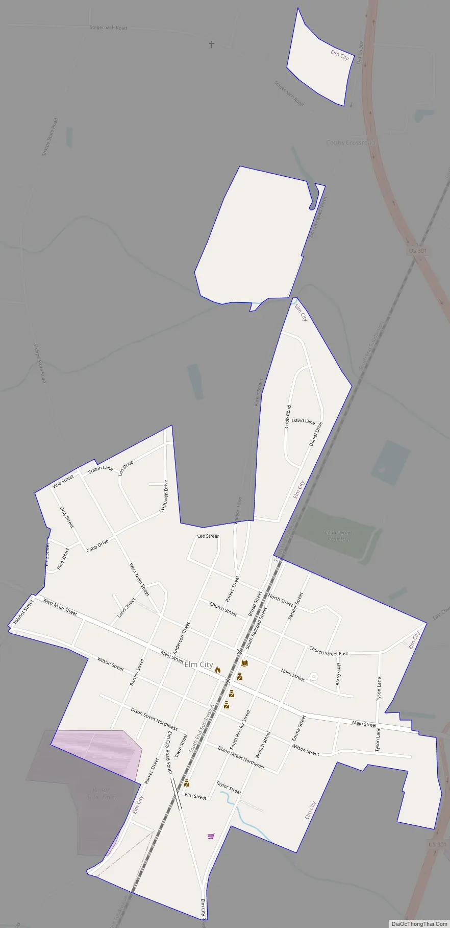
Online Interactive Map
Click on ![]() to view map in "full screen" mode.
to view map in "full screen" mode.
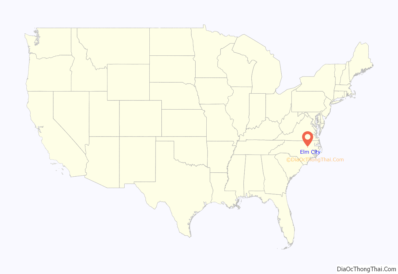
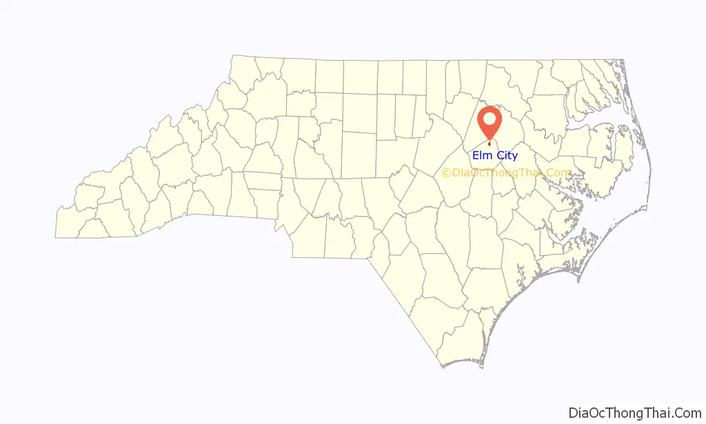
Elm City location map. Where is Elm City town?
History
The Elm City Municipal Historic District, W. H. Langley House, and Webb-Barron-Wells House were listed on the National Register of Historic Places in 1986.
In the summer of 1964, the Ku Klux Klan drove away a group of black and white teenage volunteers repainting the local First Presbyterian Church. Subsequently, adult volunteers returned to finish the job, and Governor Terry Sanford dispatched state troopers to protect the team of integrated volunteers. An attempt was later made by two white youths from Rocky Mount to burn down the church but they failed.
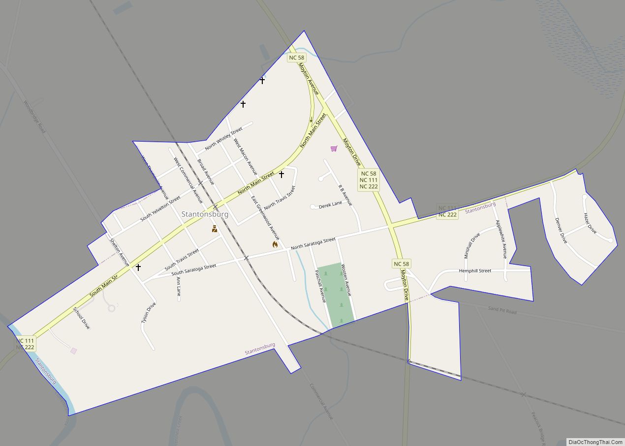
Elm City Road Map
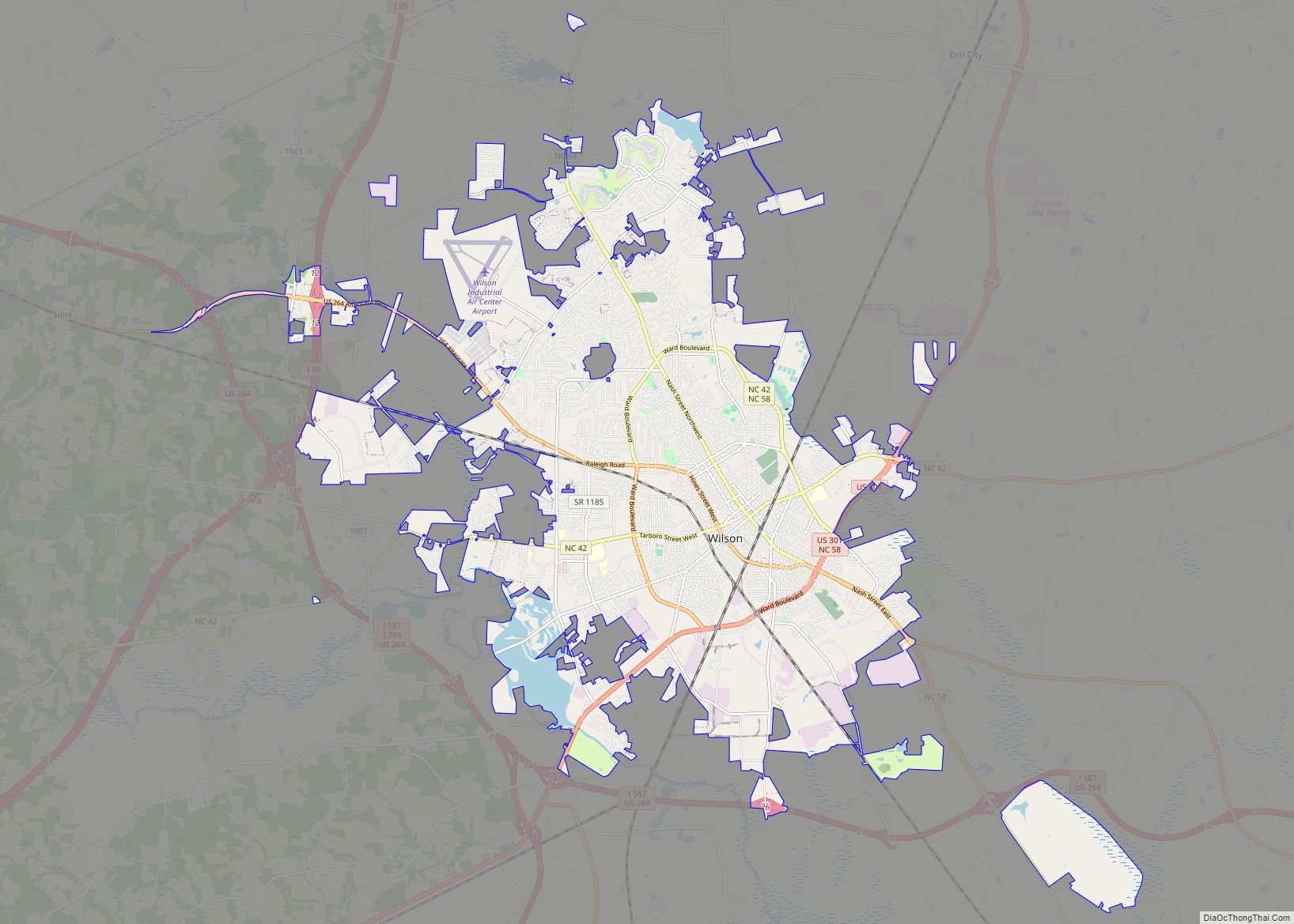
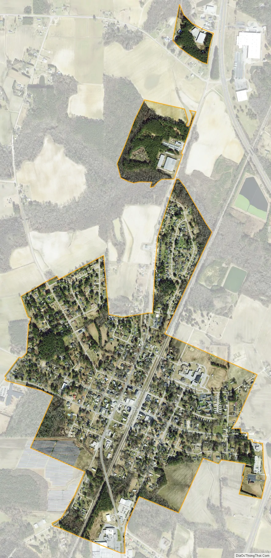
Elm City city Satellite Map
Geography
Elm City is located at 35°48′28″N 77°51′44″W / 35.80778°N 77.86222°W / 35.80778; -77.86222 (35.807729, -77.862161).
According to the United States Census Bureau, the town has a total area of 0.8 square miles (2.1 km), all land.
See also
Map of North Carolina State and its subdivision:- Alamance
- Alexander
- Alleghany
- Anson
- Ashe
- Avery
- Beaufort
- Bertie
- Bladen
- Brunswick
- Buncombe
- Burke
- Cabarrus
- Caldwell
- Camden
- Carteret
- Caswell
- Catawba
- Chatham
- Cherokee
- Chowan
- Clay
- Cleveland
- Columbus
- Craven
- Cumberland
- Currituck
- Dare
- Davidson
- Davie
- Duplin
- Durham
- Edgecombe
- Forsyth
- Franklin
- Gaston
- Gates
- Graham
- Granville
- Greene
- Guilford
- Halifax
- Harnett
- Haywood
- Henderson
- Hertford
- Hoke
- Hyde
- Iredell
- Jackson
- Johnston
- Jones
- Lee
- Lenoir
- Lincoln
- Macon
- Madison
- Martin
- McDowell
- Mecklenburg
- Mitchell
- Montgomery
- Moore
- Nash
- New Hanover
- Northampton
- Onslow
- Orange
- Pamlico
- Pasquotank
- Pender
- Perquimans
- Person
- Pitt
- Polk
- Randolph
- Richmond
- Robeson
- Rockingham
- Rowan
- Rutherford
- Sampson
- Scotland
- Stanly
- Stokes
- Surry
- Swain
- Transylvania
- Tyrrell
- Union
- Vance
- Wake
- Warren
- Washington
- Watauga
- Wayne
- Wilkes
- Wilson
- Yadkin
- Yancey
- Alabama
- Alaska
- Arizona
- Arkansas
- California
- Colorado
- Connecticut
- Delaware
- District of Columbia
- Florida
- Georgia
- Hawaii
- Idaho
- Illinois
- Indiana
- Iowa
- Kansas
- Kentucky
- Louisiana
- Maine
- Maryland
- Massachusetts
- Michigan
- Minnesota
- Mississippi
- Missouri
- Montana
- Nebraska
- Nevada
- New Hampshire
- New Jersey
- New Mexico
- New York
- North Carolina
- North Dakota
- Ohio
- Oklahoma
- Oregon
- Pennsylvania
- Rhode Island
- South Carolina
- South Dakota
- Tennessee
- Texas
- Utah
- Vermont
- Virginia
- Washington
- West Virginia
- Wisconsin
- Wyoming