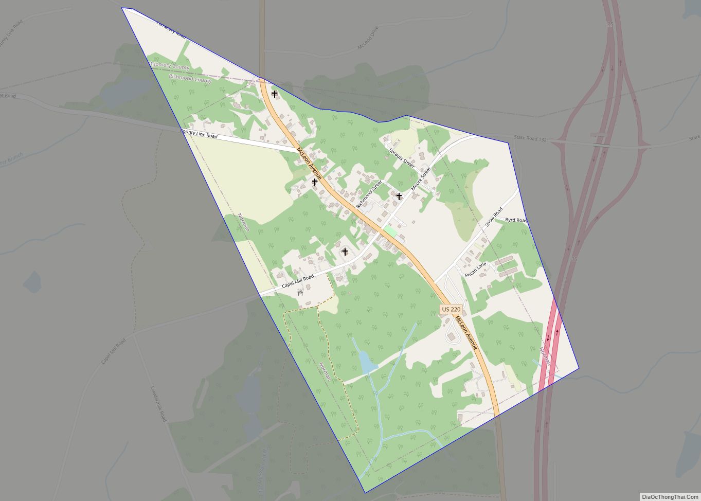
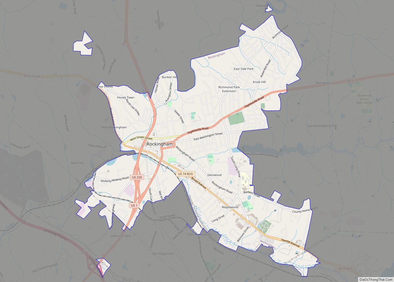
Hamlet is a city in Richmond County, North Carolina, United States. The population was 6,042 at the 2020 census.
| Name: | Hamlet city |
|---|---|
| LSAD Code: | 25 |
| LSAD Description: | city (suffix) |
| State: | North Carolina |
| County: | Richmond County |
| Incorporated: | February 9, 1897 |
| Elevation: | 299 ft (91 m) |
| Total Area: | 5.35 sq mi (13.87 km²) |
| Land Area: | 5.27 sq mi (13.64 km²) |
| Water Area: | 0.09 sq mi (0.22 km²) |
| Total Population: | 6,025 |
| Population Density: | 1,143.91/sq mi (441.65/km²) |
| ZIP code: | 28345 |
| FIPS code: | 3729160 |
| GNISfeature ID: | 1020599 |
| Website: | www.hamletnc.us |
Online Interactive Map
Click on ![]() to view map in "full screen" mode.
to view map in "full screen" mode.
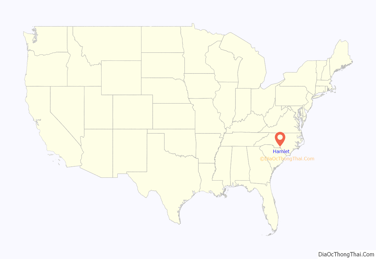
Hamlet location map. Where is Hamlet city?
History
The area in Richmond County which presently includes Hamlet was originally known as Sandhills. The Wilmington, Charlotte & Rutherford Railroad was extended through the area in 1866. The first house was constructed there in 1869. In 1872 the land was purchased by John Shortridge, an English immigrant who intended on building a textile mill along a creek. He renamed the locale Hamlet the following year, supposedly in homage to hamlets in the British Isles. He planted a sycamore tree to celebrate the occasion, which stood until 1946. A post office was established in 1876, and that year Shortridge sold a parcel of land to Raleigh and Augusta Air Line Railroad, which completed its own line through Hamlet by the following year. Railway shops were built in 1894 and the town was formally incorporated on February 9, 1897. Seaboard Air Line Railroad decided to establish its regional headquarters there, and Hamlet rapidly grew thereafter. By 1910, the locale hosted two five and dimes, five dry goods stores, and a Coca-Cola bottling plant. From a population of 639 in 1900, the town grew to encompass more than 4,000 residents in 1930. The Hamlet Hospital—the first such facility in the county—was opened in 1915, and by 1940 it had expanded to a new facility and was the largest in the region.
Hamlet’s early growth was sustained by Seaboard, which heavily invested in facilities within the town. By the end of World War I, 30 trains passed through Hamlet daily, and the corporation decided to construct a maintenance shop, a roundhouse, and a shipping yard. After World War II, an $11 million classification yard, the first one in the Southeastern United States, was established about one mile north of town, opening in 1954. The Seaboard Line carried mostly freight traffic, but also brought tourists through Hamlet on the Orange Blossom Special, the Boll Weevil, and the Silver Meteor. Before sleeping cars became predominant, many rail passengers would stop in Hamlet and board at the Terminal Hotel or Seaboard Hotel. They provided traffic to the businesses on Main Street, which included several banks, a jewelry store, shoe shop, drug store, hardware store, opera house, and a bowling alley. Throughout the late 19th and early 20th centuries Hamlet was visited by prominent persons including Booker T. Washington, William Jennings Bryan, Franklin D. Roosevelt, Buffalo Bill, Jenny Lind, and Enrico Caruso. Seaboard provided thousands of mostly white men with well-paying, secure employment as conductors, engineers, and brakemen. Workers received sick pay, pension plans, and wages negotiated by national unions. As a result, Hamlet developed a large middle class, unlike the nearby city of Rockingham, which was home to many poorer textile mill workers.
Hamlet’s economic situation came under strain beginning in the 1960s, as the railroad faced increasing competition from growing road networks, trucking, and air travel. Seaboard acquired smaller competitors and consolidated its operations, moving workers out of Hamlet. It also froze wages, terminated some positions, and reduced passenger services, diminishing the number of outside visitors to the town. Seaboard became CSX Transportation in 1986. A K-Mart and Walmart were built in Rockingham in the 1970s, providing that municipality with tax revenue and pulling Hamlet’s customers away from their own town. Seaboard laid off hundreds of workers while more national business chains with cheaper prices moved into the region, driving down wages and further reducing the viability of Hamlet’s traditional businesses along Main Street. Coca-Cola closed its bottling plant in 1973. Racially-charged riots broke out in June 1975 after a Hamlet police officer discharged his gun during an altercation with a black woman. By the late 1980s and early 1990s, many businesses along Main Street and Hamlet Avenue were vacant, and the Terminal Hotel had become a flophouse. Seaboard’s facilities employed less than 600 people, and the Hamlet Depot was only serviced by Amtrak passenger trains twice a day and visited occasionally by railfans. National declines in manufacturing, including textiles, also had a wider stagnating effect on Richmond County.
Between 1980 and 1990, Hamlet annexed several hundred acres of surrounding territory and gained 1,200 new residents. In 1982 Richmond Community College sponsored the creation of the Seaboard Festival, a community gathering including local vendors, running events, and music, designed to celebrate Hamlet’s historical connections to the railroad. A civic board was chartered to put on the event annually. In 1990 portions of the film Billy Bathgate were filmed on Main Street, and in June the city was bestowed with the All-America City Award by the National Civic League, which praised the city’s library expansion, efforts to preserve the hospital, and the hosting of the Seaboard Festival.
On September 3, 1991, an industrial fire destroyed the Imperial Food Products plant in Hamlet. Many exits at the plant were locked in violation of fire codes. The fire injured 54 and killed 25 (24 workers and 1 visiting delivery driver). Emmett J. Roe, the plant owner, was sentenced to 19 years in prison for the involuntary manslaughter. State authorities imposed a record fine upon the company for the violations and the incident brought negative national attention to the town. The town spent a total of $13 million to clean up plant site and on related efforts aimed at economic revitalization which attempted to highlight Hamlet’s historic connections to the railroad industry with particular efforts focused on renovating the Hamlet Depot.
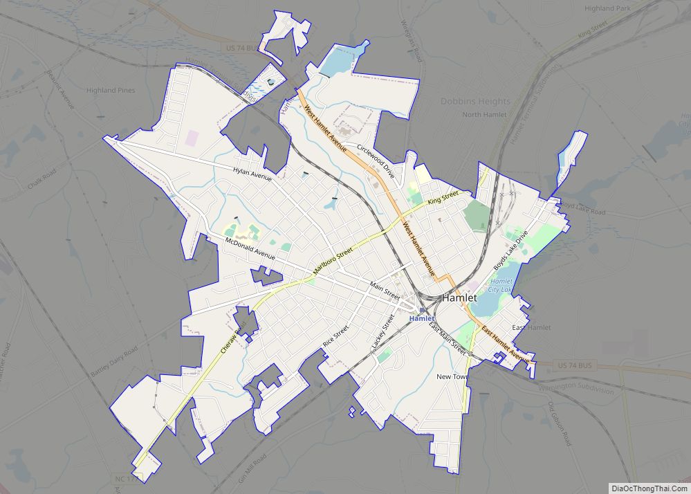
Hamlet Road Map
Hamlet city Satellite Map
Geography
Hamlet is located at 34°53′17″N 79°42′22″W / 34.88806°N 79.70611°W / 34.88806; -79.70611 (34.887936, -79.706201). According to the United States Census Bureau, the city has a total area of 5.14 square miles (13.3 km), of which 5.05 sq mi (13.1 km) is land and 0.09 sq mi (0.23 km) (1.75%) is water. The Works Progress Administration built an earthen dam in the city in the 1930s, leading to the creation of a 50-acre shallow body of water, the Hamlet City Lake.
See also
Map of North Carolina State and its subdivision:- Alamance
- Alexander
- Alleghany
- Anson
- Ashe
- Avery
- Beaufort
- Bertie
- Bladen
- Brunswick
- Buncombe
- Burke
- Cabarrus
- Caldwell
- Camden
- Carteret
- Caswell
- Catawba
- Chatham
- Cherokee
- Chowan
- Clay
- Cleveland
- Columbus
- Craven
- Cumberland
- Currituck
- Dare
- Davidson
- Davie
- Duplin
- Durham
- Edgecombe
- Forsyth
- Franklin
- Gaston
- Gates
- Graham
- Granville
- Greene
- Guilford
- Halifax
- Harnett
- Haywood
- Henderson
- Hertford
- Hoke
- Hyde
- Iredell
- Jackson
- Johnston
- Jones
- Lee
- Lenoir
- Lincoln
- Macon
- Madison
- Martin
- McDowell
- Mecklenburg
- Mitchell
- Montgomery
- Moore
- Nash
- New Hanover
- Northampton
- Onslow
- Orange
- Pamlico
- Pasquotank
- Pender
- Perquimans
- Person
- Pitt
- Polk
- Randolph
- Richmond
- Robeson
- Rockingham
- Rowan
- Rutherford
- Sampson
- Scotland
- Stanly
- Stokes
- Surry
- Swain
- Transylvania
- Tyrrell
- Union
- Vance
- Wake
- Warren
- Washington
- Watauga
- Wayne
- Wilkes
- Wilson
- Yadkin
- Yancey
- Alabama
- Alaska
- Arizona
- Arkansas
- California
- Colorado
- Connecticut
- Delaware
- District of Columbia
- Florida
- Georgia
- Hawaii
- Idaho
- Illinois
- Indiana
- Iowa
- Kansas
- Kentucky
- Louisiana
- Maine
- Maryland
- Massachusetts
- Michigan
- Minnesota
- Mississippi
- Missouri
- Montana
- Nebraska
- Nevada
- New Hampshire
- New Jersey
- New Mexico
- New York
- North Carolina
- North Dakota
- Ohio
- Oklahoma
- Oregon
- Pennsylvania
- Rhode Island
- South Carolina
- South Dakota
- Tennessee
- Texas
- Utah
- Vermont
- Virginia
- Washington
- West Virginia
- Wisconsin
- Wyoming
