Harrells is a town in Sampson and Duplin counties, North Carolina, United States. The population was 202 at the 2010 census.
| Name: | Harrells town |
|---|---|
| LSAD Code: | 43 |
| LSAD Description: | town (suffix) |
| State: | North Carolina |
| County: | Duplin County, Sampson County |
| Elevation: | 85 ft (26 m) |
| Total Area: | 3.15 sq mi (8.15 km²) |
| Land Area: | 3.15 sq mi (8.15 km²) |
| Water Area: | 0.00 sq mi (0.00 km²) |
| Total Population: | 160 |
| Population Density: | 50.86/sq mi (19.64/km²) |
| ZIP code: | 28444 |
| FIPS code: | 3729680 |
| GNISfeature ID: | 1025370 |
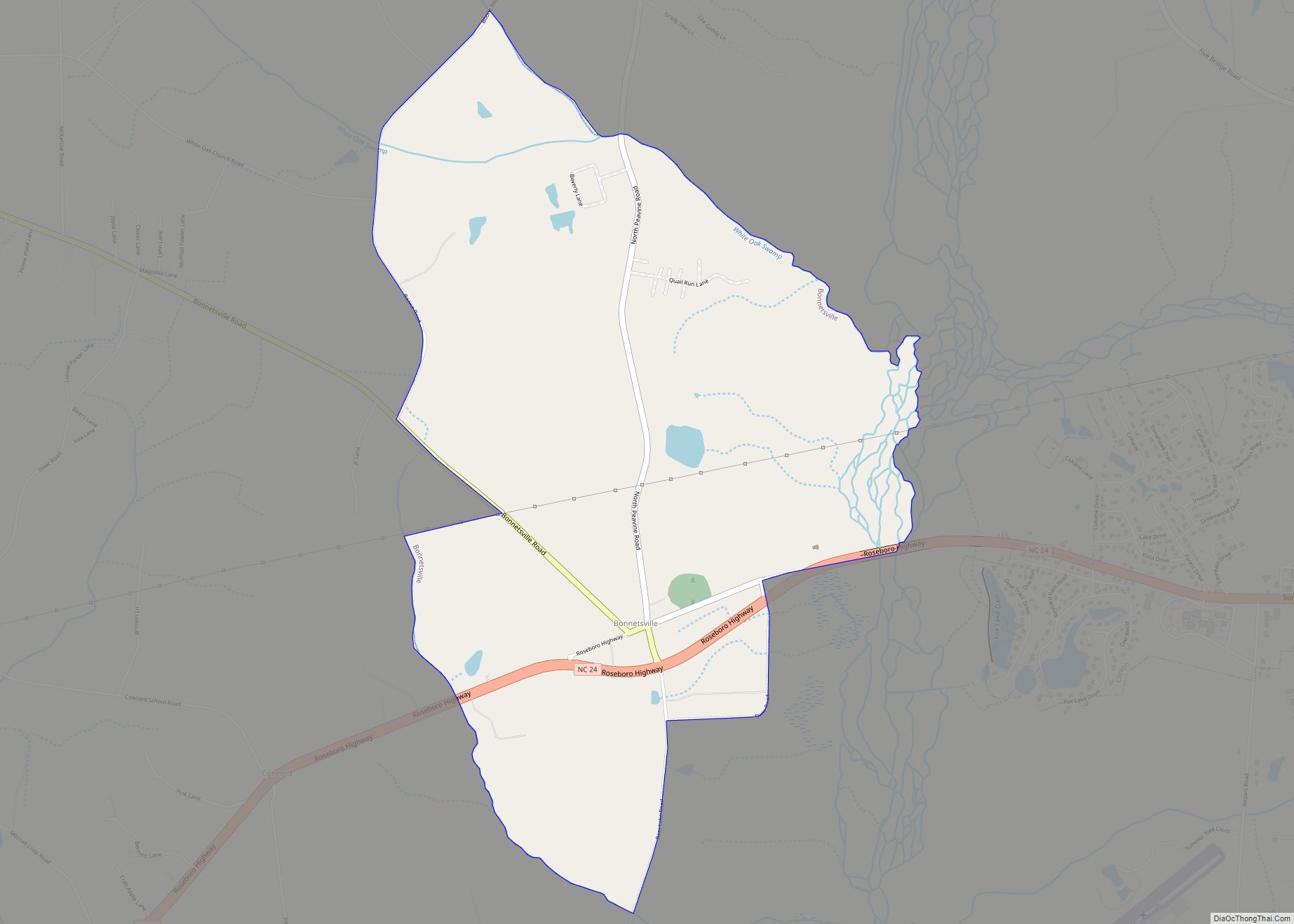
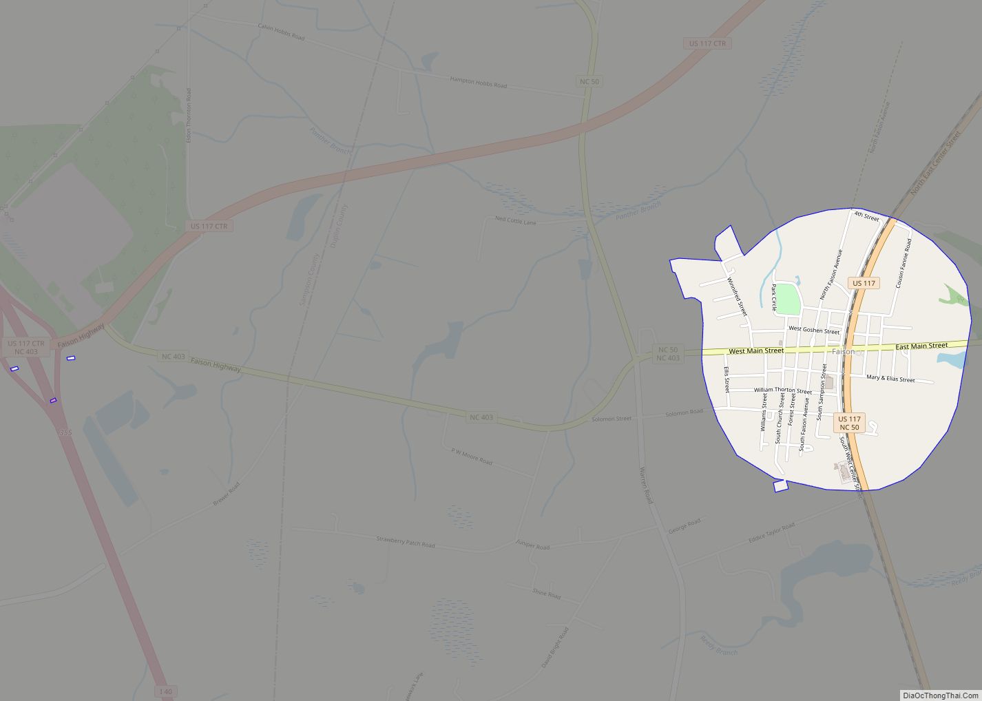
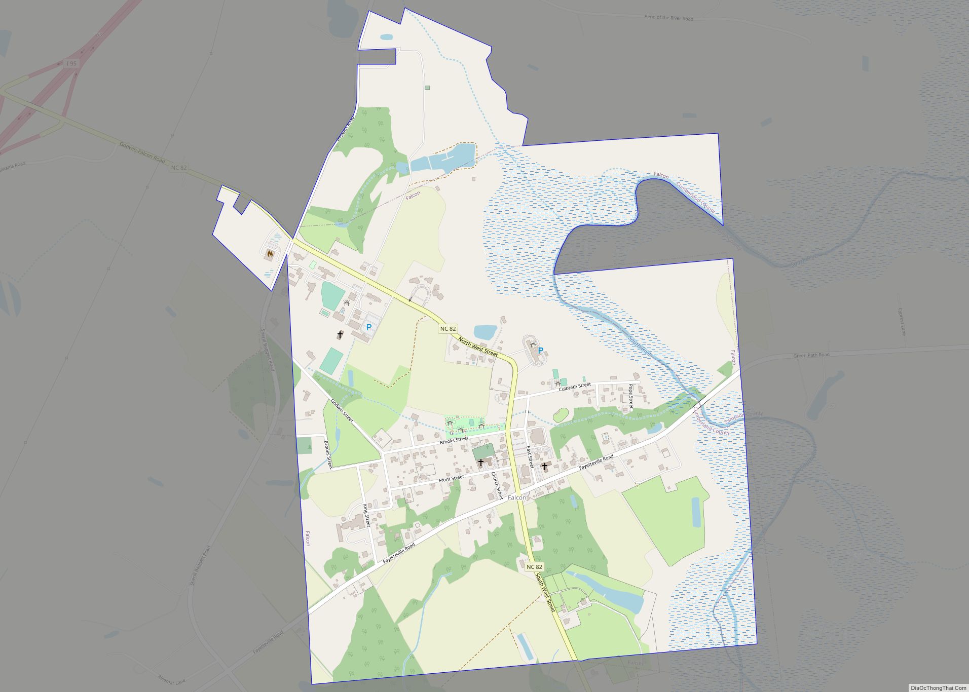
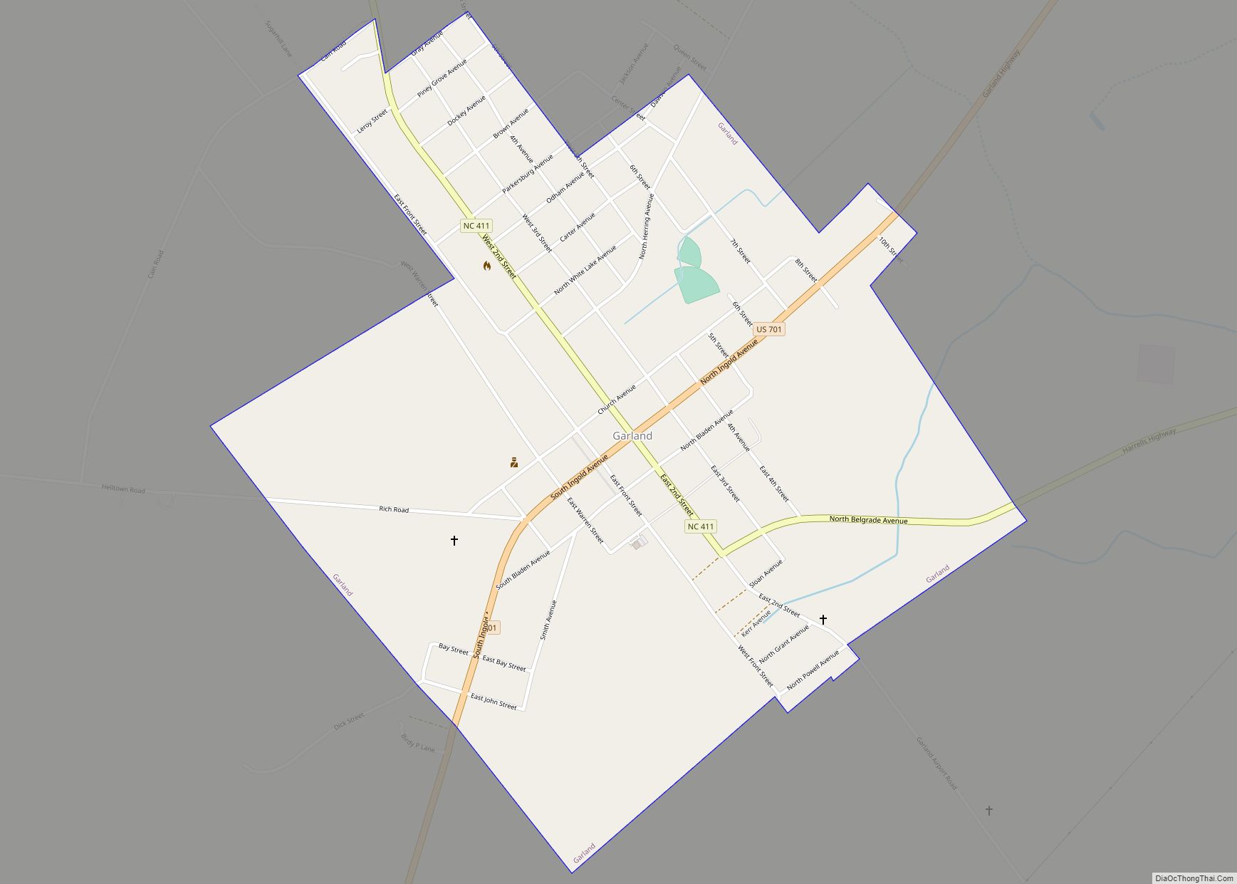
Online Interactive Map
Click on ![]() to view map in "full screen" mode.
to view map in "full screen" mode.
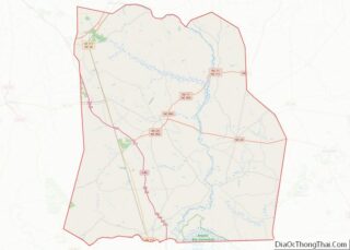
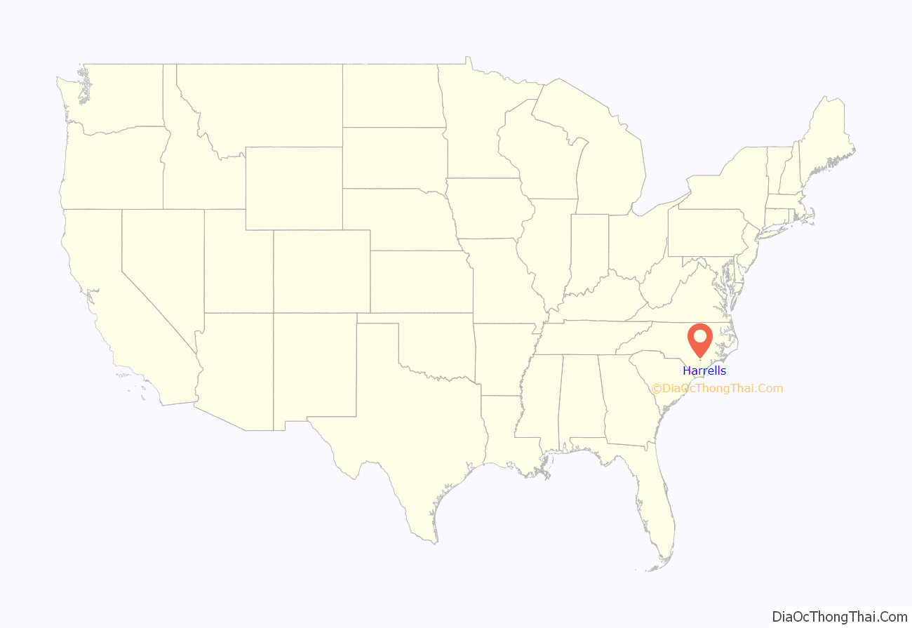
Harrells location map. Where is Harrells town?

History
The Lewis Highsmith Farm and Dr. John B. Seavey House and Cemetery are listed on the National Register of Historic Places. In 1969, a private Christian school, Harrells Christian Academy was founded in the town.
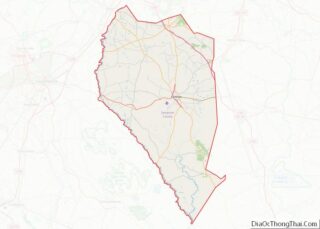
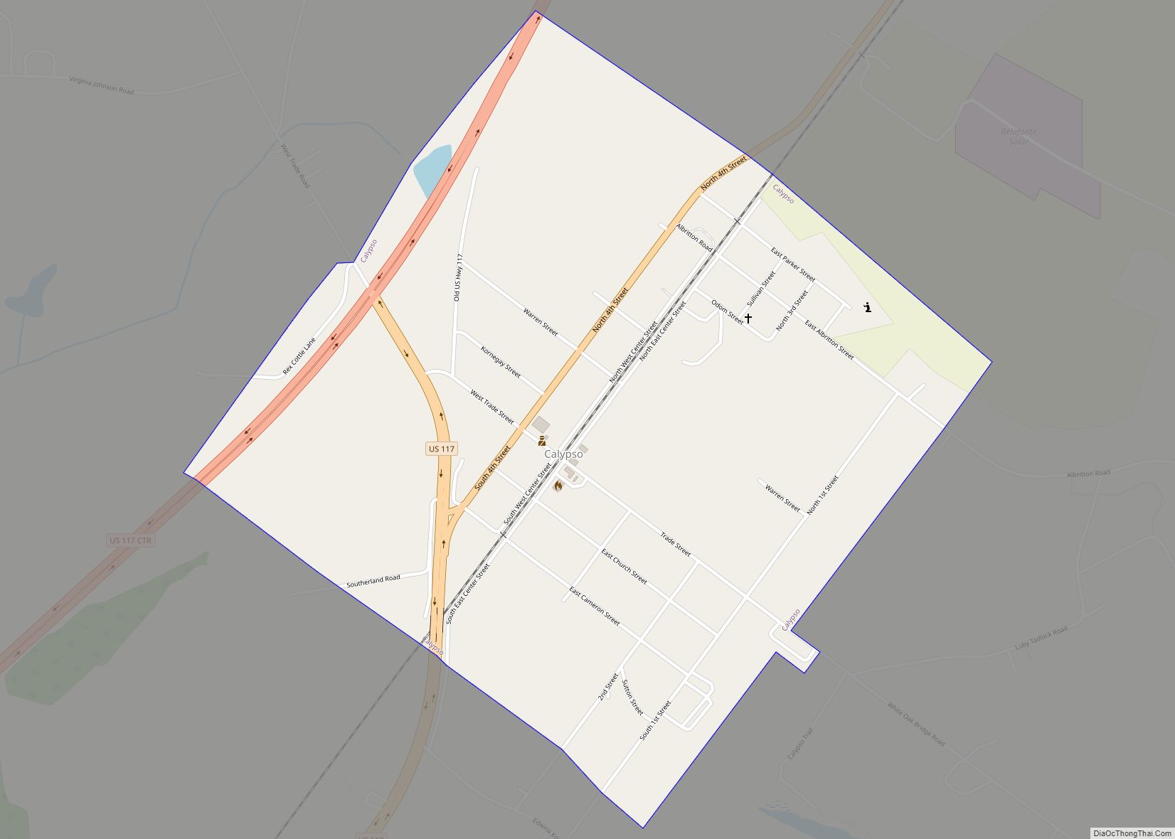
Harrells Road Map

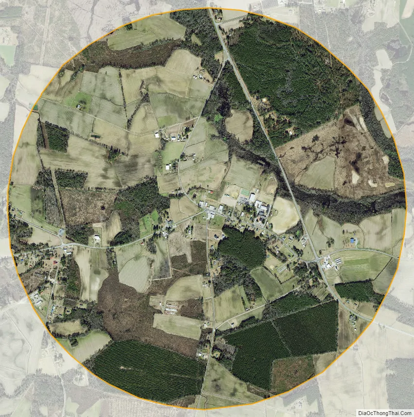
Harrells city Satellite Map
Geography
Harrells is located in southeastern Sampson County at 34°43′45″N 78°11′57″W / 34.72917°N 78.19917°W / 34.72917; -78.19917 (34.729285, -78.199190). A part of the northeastern side of town falls within the southwestern corner of Duplin County.
U.S. Route 421 passes through the town, leading north 22 miles (35 km) to Clinton, the Sampson County seat, and south 40 miles (64 km) to Wilmington. North Carolina Highway 41 leads east 14 miles (23 km) to Wallace and west 26 miles (42 km) to Elizabethtown.
According to the United States Census Bureau, the town has a total area of 3.2 square miles (8.2 km), all land.
See also
Map of North Carolina State and its subdivision:- Alamance
- Alexander
- Alleghany
- Anson
- Ashe
- Avery
- Beaufort
- Bertie
- Bladen
- Brunswick
- Buncombe
- Burke
- Cabarrus
- Caldwell
- Camden
- Carteret
- Caswell
- Catawba
- Chatham
- Cherokee
- Chowan
- Clay
- Cleveland
- Columbus
- Craven
- Cumberland
- Currituck
- Dare
- Davidson
- Davie
- Duplin
- Durham
- Edgecombe
- Forsyth
- Franklin
- Gaston
- Gates
- Graham
- Granville
- Greene
- Guilford
- Halifax
- Harnett
- Haywood
- Henderson
- Hertford
- Hoke
- Hyde
- Iredell
- Jackson
- Johnston
- Jones
- Lee
- Lenoir
- Lincoln
- Macon
- Madison
- Martin
- McDowell
- Mecklenburg
- Mitchell
- Montgomery
- Moore
- Nash
- New Hanover
- Northampton
- Onslow
- Orange
- Pamlico
- Pasquotank
- Pender
- Perquimans
- Person
- Pitt
- Polk
- Randolph
- Richmond
- Robeson
- Rockingham
- Rowan
- Rutherford
- Sampson
- Scotland
- Stanly
- Stokes
- Surry
- Swain
- Transylvania
- Tyrrell
- Union
- Vance
- Wake
- Warren
- Washington
- Watauga
- Wayne
- Wilkes
- Wilson
- Yadkin
- Yancey
- Alabama
- Alaska
- Arizona
- Arkansas
- California
- Colorado
- Connecticut
- Delaware
- District of Columbia
- Florida
- Georgia
- Hawaii
- Idaho
- Illinois
- Indiana
- Iowa
- Kansas
- Kentucky
- Louisiana
- Maine
- Maryland
- Massachusetts
- Michigan
- Minnesota
- Mississippi
- Missouri
- Montana
- Nebraska
- Nevada
- New Hampshire
- New Jersey
- New Mexico
- New York
- North Carolina
- North Dakota
- Ohio
- Oklahoma
- Oregon
- Pennsylvania
- Rhode Island
- South Carolina
- South Dakota
- Tennessee
- Texas
- Utah
- Vermont
- Virginia
- Washington
- West Virginia
- Wisconsin
- Wyoming