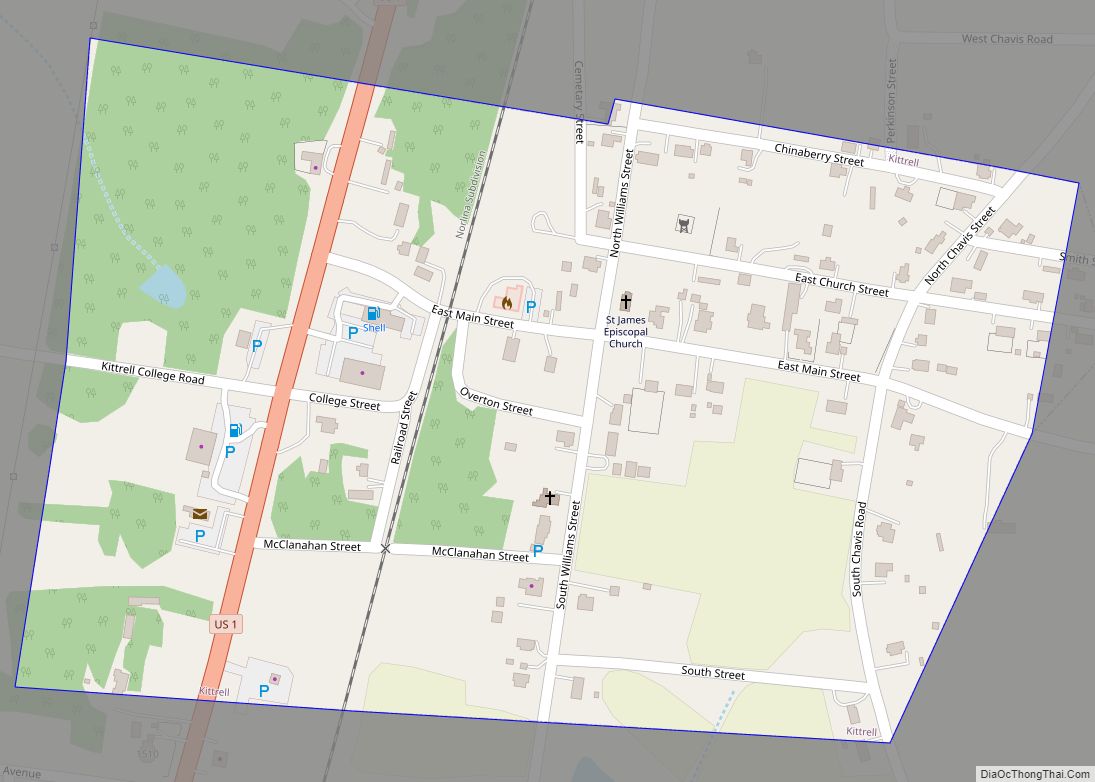
Kittrell is a town in Vance County, North Carolina, United States.
| Name: | Kittrell town |
|---|---|
| LSAD Code: | 43 |
| LSAD Description: | town (suffix) |
| State: | North Carolina |
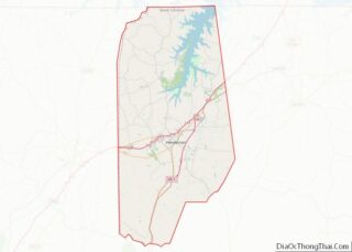
| County: | Vance County |
| Elevation: | 440 ft (130 m) |
| Total Area: | 0.21 sq mi (0.54 km²) |
| Land Area: | 0.21 sq mi (0.54 km²) |
| Water Area: | 0.00 sq mi (0.00 km²) |
| Total Population: | 132 |
| Population Density: | 634.62/sq mi (245.23/km²) |
| ZIP code: | 27544 |
| Area code: | 252 |
| FIPS code: | 3736020 |
| GNISfeature ID: | 1021058 |
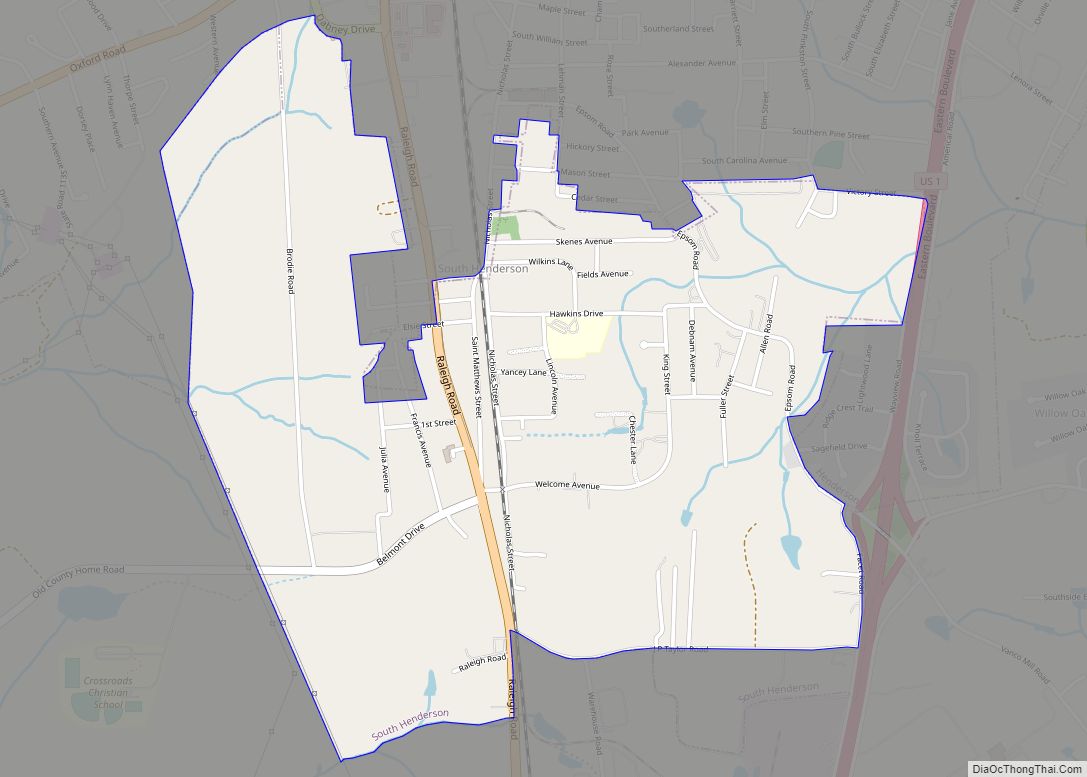
Online Interactive Map
Click on ![]() to view map in "full screen" mode.
to view map in "full screen" mode.
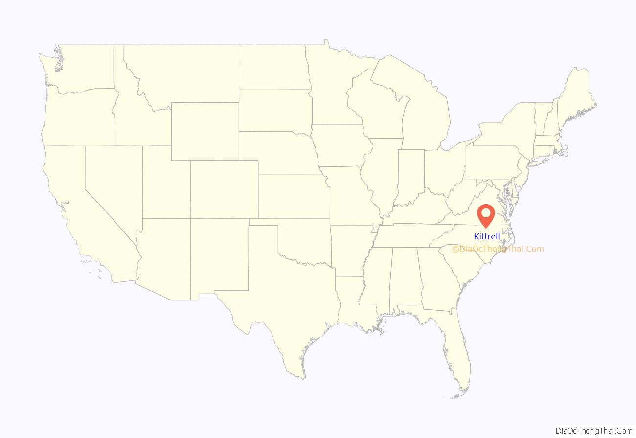
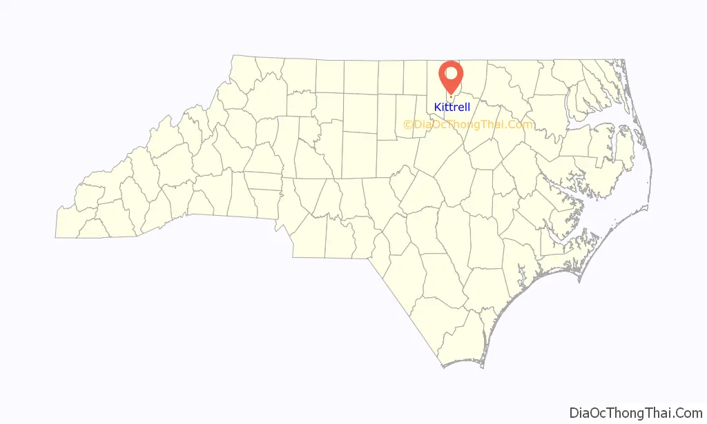
Kittrell location map. Where is Kittrell town?
History
Kittrell was chartered in 1885, with its first mayor David Outlaw, a merchant and bachelor. In 1860, one census district in Granville County the primary of the three parent counties (73% of the land area of Vance County was taken from Granville County) of Vance County, was called Kittrell’s Depot. Kittrell’s Depot was a railroad depot named for George Kittrell and his wife, Elizabeth Boswell Kittrell, who donated the land for a Raleigh and Gaston Railroad station. The first post office for the Kittrell area, with Elisha Overton as its first postmaster, was established in 1854, replacing one in neighboring Stanton in the Epping Forest area which lacked direct railroad access, this establishment occurring shortly after Kittrell’s Depot became operational. An 1868 state law required county governments to divide counties into smaller units of townships. Kittrell Township, including the depot station that is the likely basis for the choice of name, was one of Granville County’s creations. George Kittrell was a grandson of Captain Jonathan Kittrell, commander of a company of Granville County colonial militia during the 1760s and early 1770s, and was a large landholder in Granville County. His holdings included the land upon which the Kittrell Springs Hotel was located. His grandfather Captain Kittrell was also one of the justices (or magistrates) for this county, and was an early Granville pioneer, who immigrated as a young adult to that area, attracted by its cheap, abundant and readily available land, along with two younger brothers Samuel and Isaac, from northeastern North Carolina. Their elder brothers George and John remained in their home area on farms in what is now known as Bertie and Gates County. The population was 467 at the 2010 census. The smallest horse in the world lives here measuring 47 cm (18.75 in).
Kittrell was the location of Kittrell College, the campus of which later became the Kittrell Job Corps Center. At Kittrell Job Corps Center, students will receive the skills that are necessary for them to succeed in the workforce.
Ashburn Hall, Thomas Capehart House, Josiah Crudup House, and St. James Episcopal Church and Rectory are listed on the National Register of Historic Places.
Kittrell was also home to two famous luxury health hotels during North Carolina’s ‘”Golden Age” of spas, healing springs, and health resorts’, the Davis Hotel and Kittrell Springs Hotel.
Kittrell Road Map
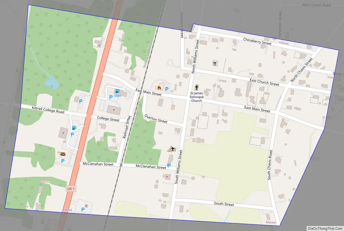
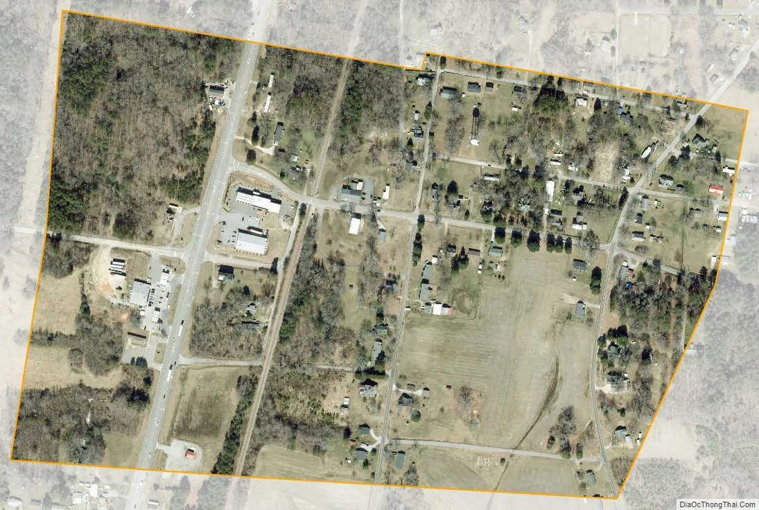
Kittrell city Satellite Map
Geography
Kittrell is located at 36°13′19″N 78°26′28″W / 36.22194°N 78.44111°W / 36.22194; -78.44111 (36.222049, -78.441184).
According to the United States Census Bureau, the village has a total area of 0.2 square miles (0.52 km), all of it land.
See also
Map of North Carolina State and its subdivision:- Alamance
- Alexander
- Alleghany
- Anson
- Ashe
- Avery
- Beaufort
- Bertie
- Bladen
- Brunswick
- Buncombe
- Burke
- Cabarrus
- Caldwell
- Camden
- Carteret
- Caswell
- Catawba
- Chatham
- Cherokee
- Chowan
- Clay
- Cleveland
- Columbus
- Craven
- Cumberland
- Currituck
- Dare
- Davidson
- Davie
- Duplin
- Durham
- Edgecombe
- Forsyth
- Franklin
- Gaston
- Gates
- Graham
- Granville
- Greene
- Guilford
- Halifax
- Harnett
- Haywood
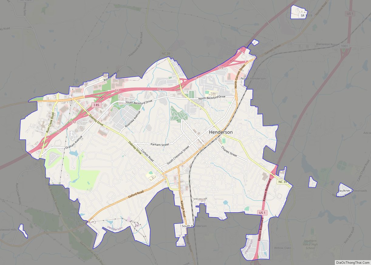
- Henderson
- Hertford
- Hoke
- Hyde
- Iredell
- Jackson
- Johnston
- Jones
- Lee
- Lenoir
- Lincoln
- Macon
- Madison
- Martin
- McDowell
- Mecklenburg
- Mitchell
- Montgomery
- Moore
- Nash
- New Hanover
- Northampton
- Onslow
- Orange
- Pamlico
- Pasquotank
- Pender
- Perquimans
- Person
- Pitt
- Polk
- Randolph
- Richmond
- Robeson
- Rockingham
- Rowan
- Rutherford
- Sampson
- Scotland
- Stanly
- Stokes
- Surry
- Swain
- Transylvania
- Tyrrell
- Union
- Vance
- Wake
- Warren
- Washington
- Watauga
- Wayne
- Wilkes
- Wilson
- Yadkin
- Yancey
- Alabama
- Alaska
- Arizona
- Arkansas
- California
- Colorado
- Connecticut
- Delaware
- District of Columbia
- Florida
- Georgia
- Hawaii
- Idaho
- Illinois
- Indiana
- Iowa
- Kansas
- Kentucky
- Louisiana
- Maine
- Maryland
- Massachusetts
- Michigan
- Minnesota
- Mississippi
- Missouri
- Montana
- Nebraska
- Nevada
- New Hampshire
- New Jersey
- New Mexico
- New York
- North Carolina
- North Dakota
- Ohio
- Oklahoma
- Oregon
- Pennsylvania
- Rhode Island
- South Carolina
- South Dakota
- Tennessee
- Texas
- Utah
- Vermont
- Virginia
- Washington
- West Virginia
- Wisconsin
- Wyoming