Lake Santeetlah is a town in Graham County, North Carolina, United States, 6 miles (10 km) northwest of Robbinsville on a peninsula surrounded by Lake Santeetlah—which in turn is largely surrounded by Nantahala National Forest. The town has more than two hundred residences, many of them second homes owned by permanent residents of Florida and Georgia. The town was organized in 1989 as “Santeetlah”; in 1999, it changed its name to “Lake Santeetlah”. The full-time population was 67 at the 2000 census and dropped to 45 in 2010.
| Name: | Lake Santeetlah town |
|---|---|
| LSAD Code: | 43 |
| LSAD Description: | town (suffix) |
| State: | North Carolina |
| County: | Graham County |
| Elevation: | 2,000 ft (600 m) |
| Total Area: | 0.19 sq mi (0.50 km²) |
| Land Area: | 0.19 sq mi (0.50 km²) |
| Water Area: | 0.00 sq mi (0.00 km²) |
| Total Population: | 38 |
| Population Density: | 195.88/sq mi (75.52/km²) |
| ZIP code: | 28771 |
| Area code: | 828 |
| FIPS code: | 3736514 |
| Website: | townoflakesanteetlah.org |
Online Interactive Map
Click on ![]() to view map in "full screen" mode.
to view map in "full screen" mode.
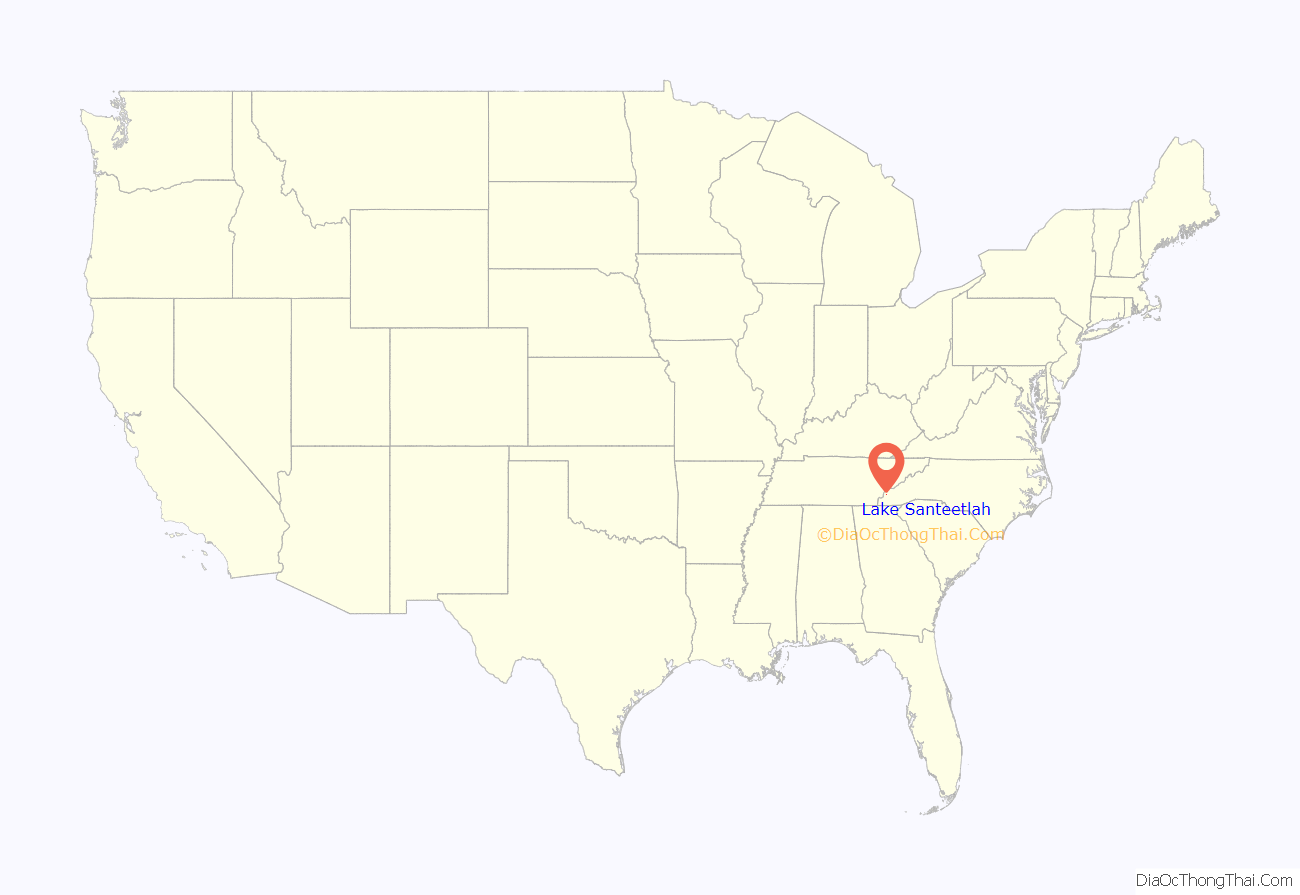
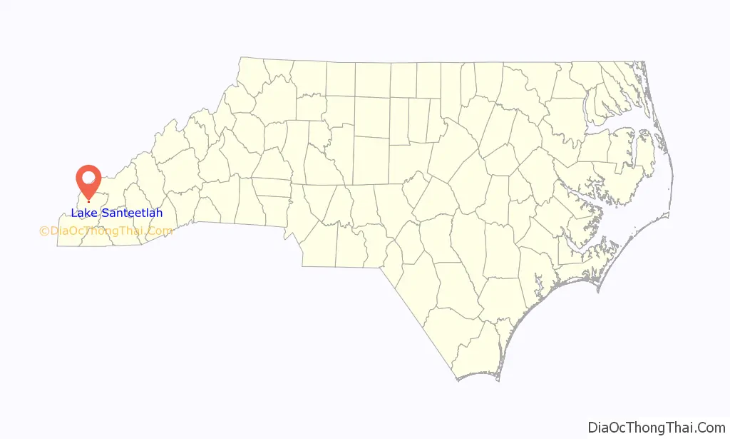
Lake Santeetlah location map. Where is Lake Santeetlah town?
History
Because of its mountainous terrain, Graham County was one of the last sections of the eastern United States to be settled by Europeans. Robbinsville was not incorporated until 1893, and it had only 200 residents in 1915. The area known as “Santeetlah” along the Cheoah River was sparsely settled, and in any case, the river valley was flooded after Santeetlah Dam was completed in 1928. In 1939, the U.S. Forest Service purchased from Carolina Aluminum Company the land now occupied by the town of Lake Santeetlah.
The father of Lake Santeetlah was Kenneth S. Keyes, Sr. (1896–1995), a native of Detroit, who became an extremely successful real estate dealer in Miami, heading over fifty corporations that operated hotels, office buildings and other realty enterprises in Florida, New York, and Canada. In 1957 he served as president of the National Association of Realtors. Keyes, an evangelical Christian, was also finance chairman of the National Association of Evangelicals and a founder of the Presbyterian Church in America.
In 1947, Keyes exchanged with the Forest Service some land he held for the area that is now the town of Lake Santeetlah. For undetermined reasons he called the property “Thunderbird Estates”. Apparently Keyes hoped to build a large hotel complex in the area of the community now known as Chalet Village, and that area was graded in preparation for building. Nevertheless, although he hired a Miami architectural firm to draw the plans, Keyes never built, and in 1958, he sold the undeveloped property to another Florida land developer, who transferred it again in 1961.
In the early 1960s, a new corporation, Smoky Mountain Resorts, built a lodge and some cabins, and the first landowners began to build on the north shore of the peninsula. The lodge, with its two faux totem poles, became “the heartbeat of Thunderbird Mountain Resort” with activities that included square dancing, bingo, movies, and church services, as well as a place “to gather together when the mail was delivered.” Although roads were graded and paved and a water system installed, “Thunderbird Mountain Club Resort”, as the development was first called, was “always short of capital.” In 1971, Smoky Mountain Resorts sold its interest to W. Bennett Collette, “a dabbler in buying financially distressed properties.”
Collette transferred the properties around among his various companies, and by 1973, he had clearly communicated to the residents that he was not interested in operating the water system. The Thunderbird Homeowners Association—later, Thunderbird Property Owners Association—which had been formed in 1969 and incorporated in 1971, began to investigate the possibility of taking over the water system itself, not without disharmony among the members. In 1979, the Insurance Commissioner of Indiana confiscated the assets of Collette’s now-defunct Pilgrim Life Insurance Company, and the State of Indiana briefly owned Thunderbird Mountain before selling it to Executive National Life Insurance in 1981.
Relations between Executive National Life Insurance and the Thunderbird property owners “were at best rocky.” The insurance company did not repair the water system or provide other services specified by the restrictive covenants, and many property owners stopped paying their fees. The water system grew so unreliable that some property owners dug their own wells. A lawsuit by the insurance company was dismissed by the court, and the company became more amenable to the formation of an incorporated town.
On April 13, 1989, Thunderbird Mountain became the Town of Santeetlah, and in 1991, Executive National transferred the roads and the water system to the town. Through state grants and assessments on the properties (including those of the insurance company), a new water system was created and the roads were repaved. The same year a volunteer fire department and community center were constructed. Ten years later, in 1998, a town hall was dedicated on the Fourth of July.
In 1979, the State of North Carolina had prohibited any new connections to the antiquated water system. Although property sales and home construction did not completely cease—a builder could drill his own well—the completion of the new water system in 1995 occurred simultaneously with a new round of construction. Homes built in the 1990s and first decade of the new century tended to be much grander than the simple cottages of the 1960s. Before being demolished, the lodge, which had operated only sporadically during the preceding decades, was recycled into the sales office of an upscale lake-front development called “Santeetlah Lakeside”; and million-dollar property transfers occurred for the first time.
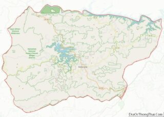
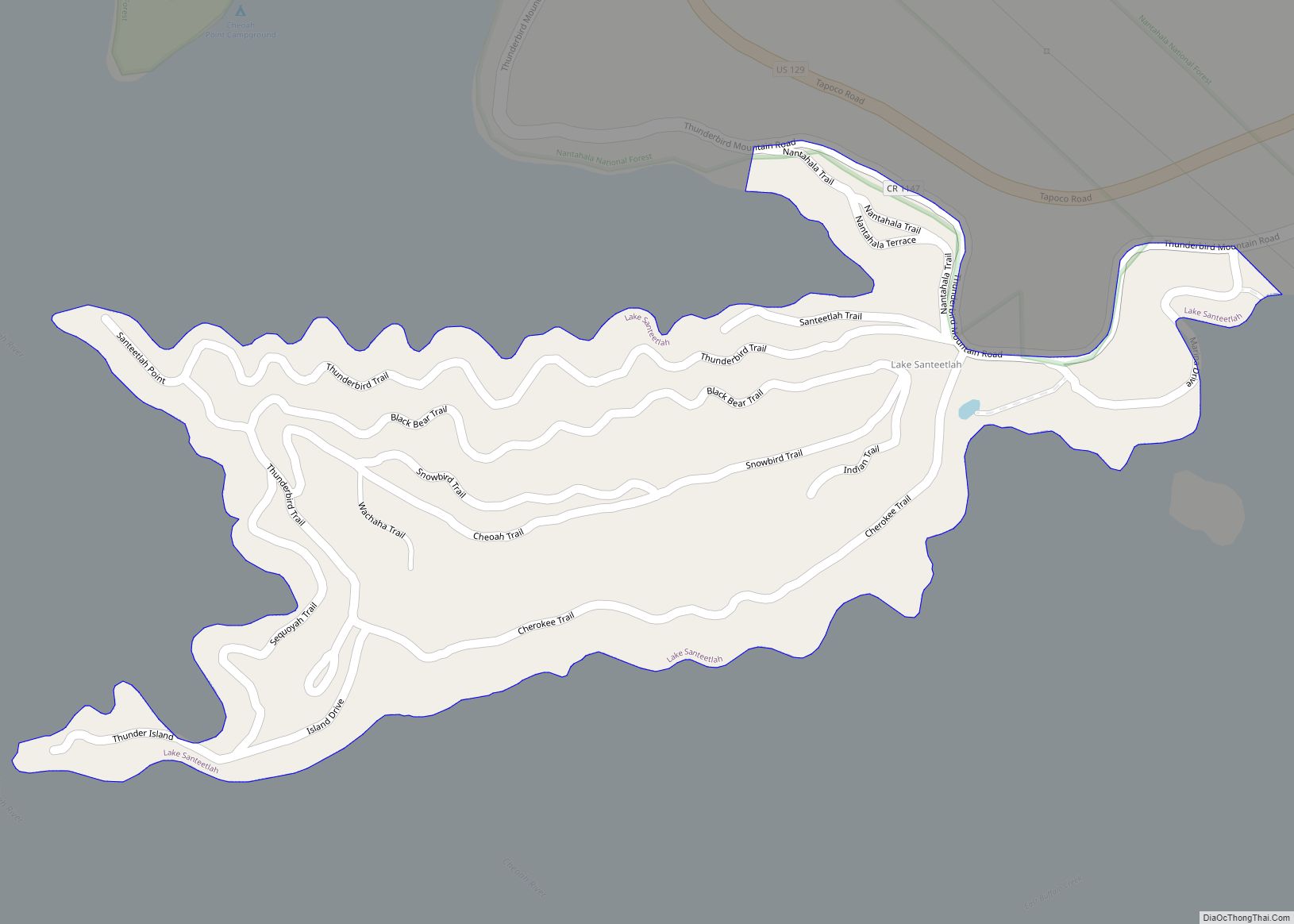
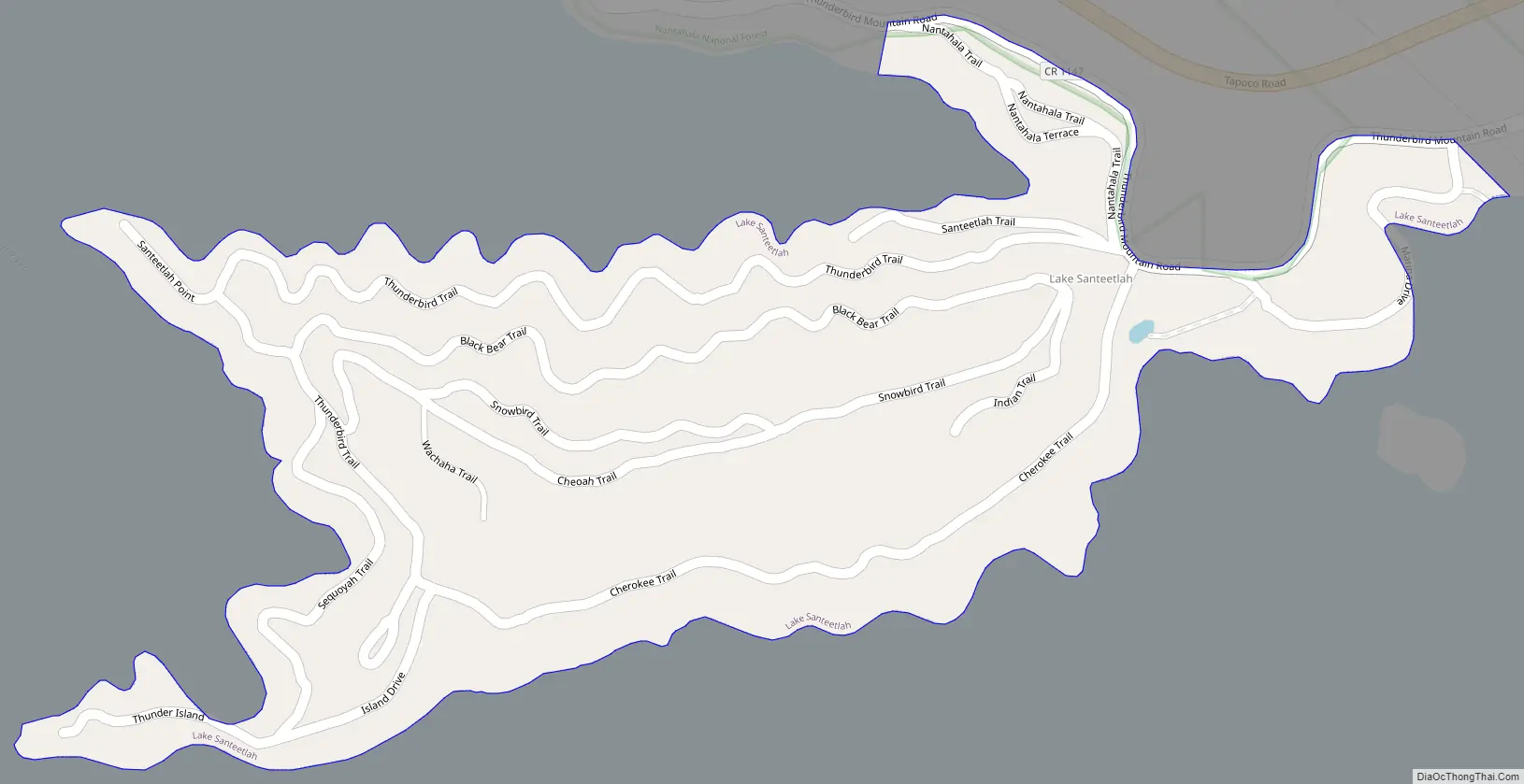
Lake Santeetlah Road Map
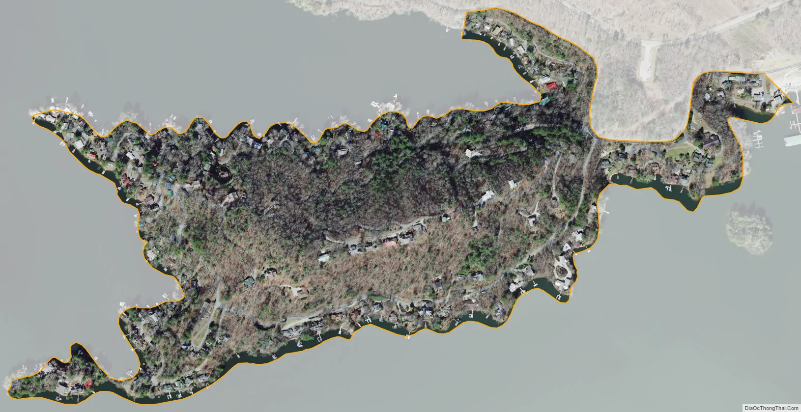
Lake Santeetlah city Satellite Map
Geography
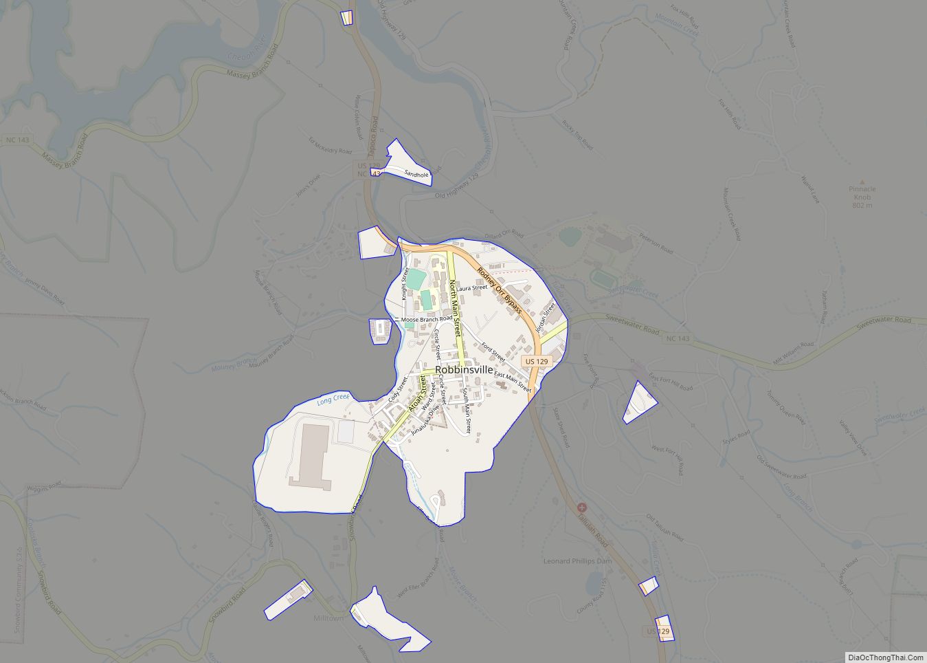
The town of Lake Santeetlah is located in central Graham County at 35°21′49″N 83°51′52″W / 35.36361°N 83.86444°W / 35.36361; -83.86444 (35.363578, -83.864367), on a peninsula on the northern side of Lake Santeetlah, a reservoir on the Cheoah River, a northward-flowing tributary of the Little Tennessee River. U.S. Route 129 passes just north of the town, leading southeast 6 miles (10 km) to Robbinsville, the county seat, and northwest 9 miles (14 km) to Tapoco at the Little Tennessee River.
According to the United States Census Bureau, the town of Lake Santeetlah has a total area of 0.19 square miles (0.5 km), all land.
See also
Map of North Carolina State and its subdivision:- Alamance
- Alexander
- Alleghany
- Anson
- Ashe
- Avery
- Beaufort
- Bertie
- Bladen
- Brunswick
- Buncombe
- Burke
- Cabarrus
- Caldwell
- Camden
- Carteret
- Caswell
- Catawba
- Chatham
- Cherokee
- Chowan
- Clay
- Cleveland
- Columbus
- Craven
- Cumberland
- Currituck
- Dare
- Davidson
- Davie
- Duplin
- Durham
- Edgecombe
- Forsyth
- Franklin
- Gaston
- Gates
- Graham
- Granville
- Greene
- Guilford
- Halifax
- Harnett
- Haywood
- Henderson
- Hertford
- Hoke
- Hyde
- Iredell
- Jackson
- Johnston
- Jones
- Lee
- Lenoir
- Lincoln
- Macon
- Madison
- Martin
- McDowell
- Mecklenburg
- Mitchell
- Montgomery
- Moore
- Nash
- New Hanover
- Northampton
- Onslow
- Orange
- Pamlico
- Pasquotank
- Pender
- Perquimans
- Person
- Pitt
- Polk
- Randolph
- Richmond
- Robeson
- Rockingham
- Rowan
- Rutherford
- Sampson
- Scotland
- Stanly
- Stokes
- Surry
- Swain
- Transylvania
- Tyrrell
- Union
- Vance
- Wake
- Warren
- Washington
- Watauga
- Wayne
- Wilkes
- Wilson
- Yadkin
- Yancey
- Alabama
- Alaska
- Arizona
- Arkansas
- California
- Colorado
- Connecticut
- Delaware
- District of Columbia
- Florida
- Georgia
- Hawaii
- Idaho
- Illinois
- Indiana
- Iowa
- Kansas
- Kentucky
- Louisiana
- Maine
- Maryland
- Massachusetts
- Michigan
- Minnesota
- Mississippi
- Missouri
- Montana
- Nebraska
- Nevada
- New Hampshire
- New Jersey
- New Mexico
- New York
- North Carolina
- North Dakota
- Ohio
- Oklahoma
- Oregon
- Pennsylvania
- Rhode Island
- South Carolina
- South Dakota
- Tennessee
- Texas
- Utah
- Vermont
- Virginia
- Washington
- West Virginia
- Wisconsin
- Wyoming