Lake Waccamaw is a town in Columbus County, North Carolina, United States. The 2010 census population was 1,480. Originally home to Native Americans, Europeans later colonized Lake Waccamaw in the 18th century. The Europeans built naval stores and the discovery of turpentine oil led to the Wilmington-Manchester railroad track being created. A shingle company was later converted to a lumber company. In 1910, a group of townspeople created the Waccamaw Club.
The town surrounds Lake Waccamaw, which features 9,000 acres of diverse wildlife and is a major source of revenue for the town. The lake is bustling with many endemic species of fish, birds, mollusks, and other animals. In 2018, a forty-year ban on hunting alligators was lifted. The town of Lake Waccamaw provides many recreational activities, such as birdwatching and hiking, due to the large population of wildlife and mild terrain.
The majority of the town’s population attend East Columbus High School, making ECHS football games and fundraisers common town traditions.
| Name: | Lake Waccamaw town |
|---|---|
| LSAD Code: | 43 |
| LSAD Description: | town (suffix) |
| State: | North Carolina |
| County: | Columbus County |
| Elevation: | 59 ft (18 m) |
| Total Area: | 2.78 sq mi (7.20 km²) |
| Land Area: | 2.78 sq mi (7.20 km²) |
| Water Area: | 0.00 sq mi (0.00 km²) |
| Total Population: | 1,296 |
| Population Density: | 466.19/sq mi (179.98/km²) |
| ZIP code: | 28450 |
| FIPS code: | 3736640 |
| GNISfeature ID: | 0988088 |
| Website: | www.lakewaccamawnc.gov |
Online Interactive Map
Click on ![]() to view map in "full screen" mode.
to view map in "full screen" mode.
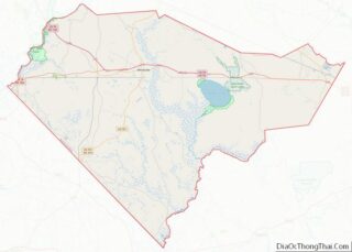
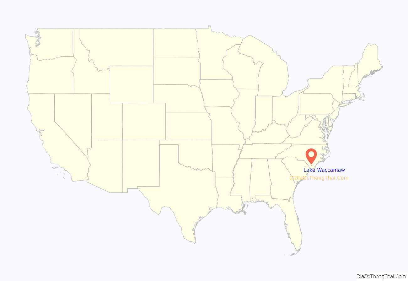
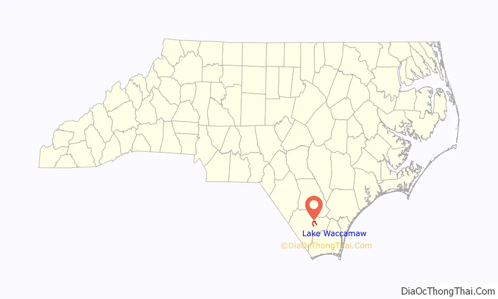
Lake Waccamaw location map. Where is Lake Waccamaw town?
History
The town of Lake Waccamaw was first inhabited by Native Americans before the Europeans came and colonized the area. Charles the Second of England granted proprietors individual grants to allow them to sail to the new world to bring him back riches and news. By the mid-eighteenth century, Lake Waccamaw had a good number of settlers. People like John Powell, from Virginia, brought cattle. John Powell’s son Absalom Powell started to buy land near Lake Waccamaw. John Powell’s other son Issac Powell was made the first major of the Brandon, County Durham militia in 1804 and justice of peace in 1806. Issac owned most of Lake Waccamaw.
Lake Waccamaw and nearby city Flemington grew slowly with the help of the Wilmington-Manchester railroad being built. The railroad brought the rural town access to the world. The addition of the railroad also made the settlement grow when the actual freshwater lake was then discovered. However, this growth increased rapidly when the naval stores and turpentine business began to grow.
On January 26, 1869, Charles Oscar Beers started his shingle industry along the southern shore of Lake Waccamaw. Another company also started south of the lake by Henry Bascom Short after Beers started his company. These two companies came together and formed a new company named Short and Beers, which brought more business to the town and created more jobs. Over time, the company went from producing shingles to becoming the North Carolina Lumber Company.
Around 1910, a local group formed the Waccamaw Club. The club served as a gathering place for hunting parties and house parties. The club later disbanded, and the building then became the Waccamaw Hotel. The Lake Waccamaw Depot was listed on the National Register of Historic Places in 1983.
The Waccamaw Dam was built in 1926 by the state to prevent the lake from shrinking in dry weather. In 2018, a new bridge that goes over the Waccamaw Dam was finally finished and open for locals.
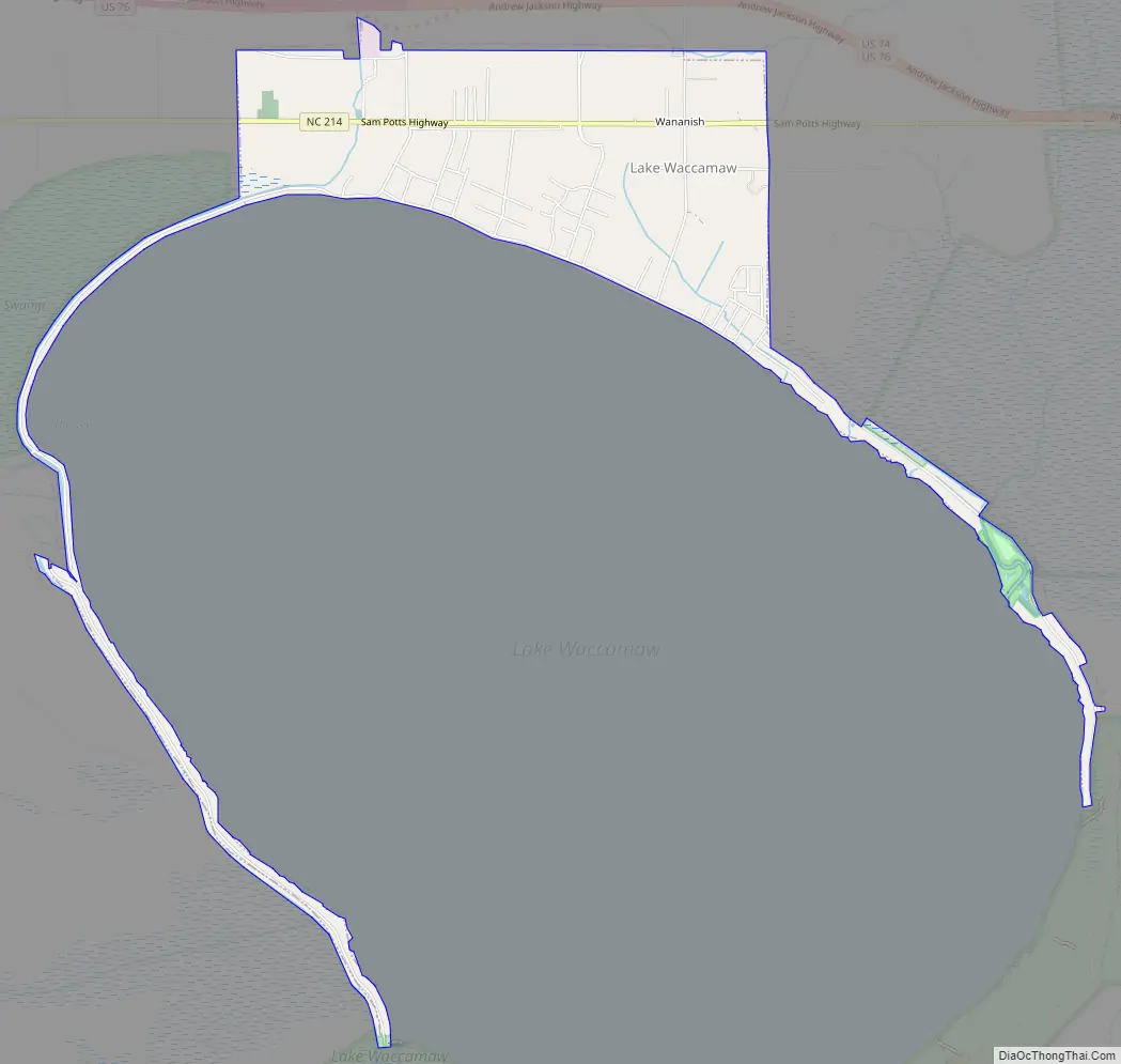
Lake Waccamaw Road Map
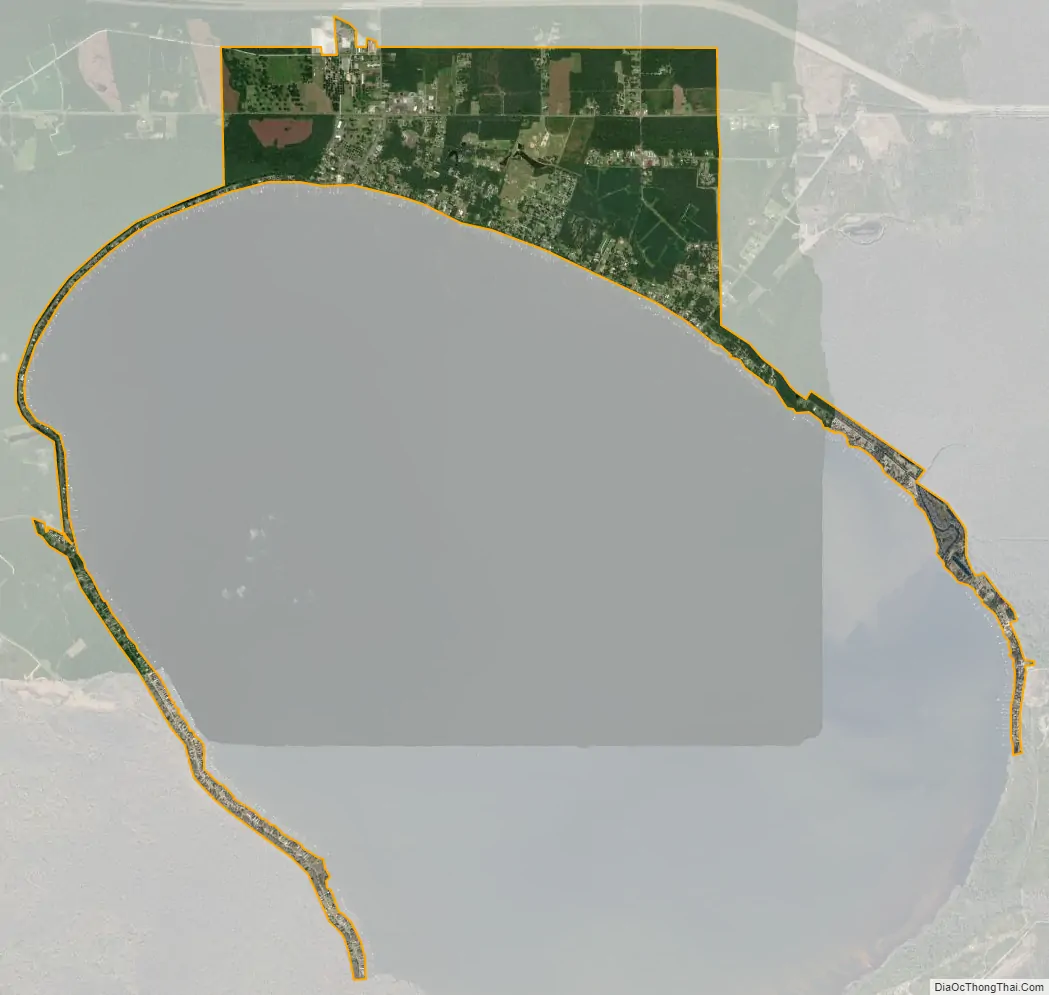
Lake Waccamaw city Satellite Map
Geography
The town of Lake Waccamaw is located in eastern Columbus County at 34°18′54″N 78°30′31″W / 34.31500°N 78.50861°W / 34.31500; -78.50861 (34.314998, -78.508708), on the north shore of Lake Waccamaw. According to the United States Census Bureau, the town has a total area of 3.5 square miles (9.1 km), of which 0.004 square miles (0.01 km), or 0.16%, is water.
Lake Waccamaw is a 9,000-acre (3,600 ha) freshwater lake around and on which is held the annual free fitness event, Take the Lake. Participants may either walk the 15 miles (24 km) around the lake, paddle 14 miles (23 km) around, bike 12 miles (19 km) and walk 3 miles (5 km) around, or swim 4 miles (6 km) across the lake, all on Labor Day weekend. No winners are announced, as awards are presented for completion only. Organizers began Take the Lake in reaction to the county being ranked as the least healthy of all 100 North Carolina counties.
See also
Map of North Carolina State and its subdivision:- Alamance
- Alexander
- Alleghany
- Anson
- Ashe
- Avery
- Beaufort
- Bertie
- Bladen
- Brunswick
- Buncombe
- Burke
- Cabarrus
- Caldwell
- Camden
- Carteret
- Caswell
- Catawba
- Chatham
- Cherokee
- Chowan
- Clay
- Cleveland
- Columbus
- Craven
- Cumberland
- Currituck
- Dare
- Davidson
- Davie
- Duplin
- Durham
- Edgecombe
- Forsyth
- Franklin
- Gaston
- Gates
- Graham
- Granville
- Greene
- Guilford
- Halifax
- Harnett
- Haywood
- Henderson
- Hertford
- Hoke
- Hyde
- Iredell
- Jackson
- Johnston
- Jones
- Lee
- Lenoir
- Lincoln
- Macon
- Madison
- Martin
- McDowell
- Mecklenburg
- Mitchell
- Montgomery
- Moore
- Nash
- New Hanover
- Northampton
- Onslow
- Orange
- Pamlico
- Pasquotank
- Pender
- Perquimans
- Person
- Pitt
- Polk
- Randolph
- Richmond
- Robeson
- Rockingham
- Rowan
- Rutherford
- Sampson
- Scotland
- Stanly
- Stokes
- Surry
- Swain
- Transylvania
- Tyrrell
- Union
- Vance
- Wake
- Warren
- Washington
- Watauga
- Wayne
- Wilkes
- Wilson
- Yadkin
- Yancey
- Alabama
- Alaska
- Arizona
- Arkansas
- California
- Colorado
- Connecticut
- Delaware
- District of Columbia
- Florida
- Georgia
- Hawaii
- Idaho
- Illinois
- Indiana
- Iowa
- Kansas
- Kentucky
- Louisiana
- Maine
- Maryland
- Massachusetts
- Michigan
- Minnesota
- Mississippi
- Missouri
- Montana
- Nebraska
- Nevada
- New Hampshire
- New Jersey
- New Mexico
- New York
- North Carolina
- North Dakota
- Ohio
- Oklahoma
- Oregon
- Pennsylvania
- Rhode Island
- South Carolina
- South Dakota
- Tennessee
- Texas
- Utah
- Vermont
- Virginia
- Washington
- West Virginia
- Wisconsin
- Wyoming