Bolton is a town in Columbus County, North Carolina, United States. The population was 691 at the 2010 census.
| Name: | Bolton town |
|---|---|
| LSAD Code: | 43 |
| LSAD Description: | town (suffix) |
| State: | North Carolina |
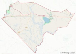
| County: | Columbus County |
| Elevation: | 64 ft (19 m) |
| Total Area: | 3.60 sq mi (9.33 km²) |
| Land Area: | 3.60 sq mi (9.33 km²) |
| Water Area: | 0.00 sq mi (0.00 km²) |
| Total Population: | 519 |
| Population Density: | 144.09/sq mi (55.63/km²) |
| ZIP code: | 28423 |
| FIPS code: | 3706860 |
| GNISfeature ID: | 0981700 |
| Website: | www.boltontown.us |
Online Interactive Map
Click on ![]() to view map in "full screen" mode.
to view map in "full screen" mode.
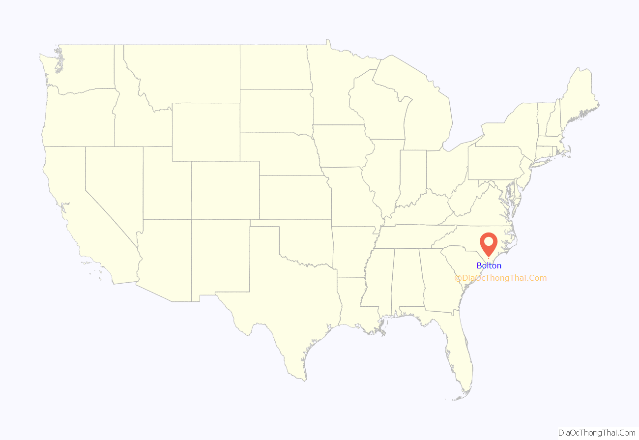
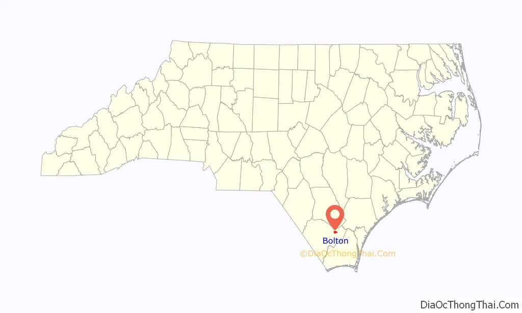
Bolton location map. Where is Bolton town?
History
Bolton was established in 1899 and named for the Bolton Lumber Company. It became an incorporated community in 1915.
In 1981 undercover agents of the U.S. Federal Bureau of Investigation were investigating corruption in Columbus County as part of the Colcor investigation. As part of their inquiry into election fraud, the agents pretended to be interest in opening a bar in Bolton. They pushed for a referendum to legalize liquor-by-the-drink in the town and paid local politician Herbert Riggins to buy votes in their favor, the first time the FBI had ever attempted to manipulate a public election. The referendum was held on April 30, 1982, with a majority of local residents in favor of legalizing liquor-by-the-drink, though Riggins mostly avoided involving himself in the vote. The North Carolina State Board of Elections later nullified the referendum.
The Colcor affair was followed by a series of other scandals which embroiled the town, beginning with the shooting of the town’s first black mayor in 1990 by a white State Highway Patrolman. Civil rights groups responded by launching the “Bolton Movement”, a series of protests across the county, which led to the Ku Klux Klan hosting counterprotests in the town. A few years later the mayor and an alderman pled no contest to charges of mismanaging the town’s finances. In 2002 the Bolton police chief was placed on administrative leave after allegedly attacking a couple in the town hall who were complaining about police brutality.
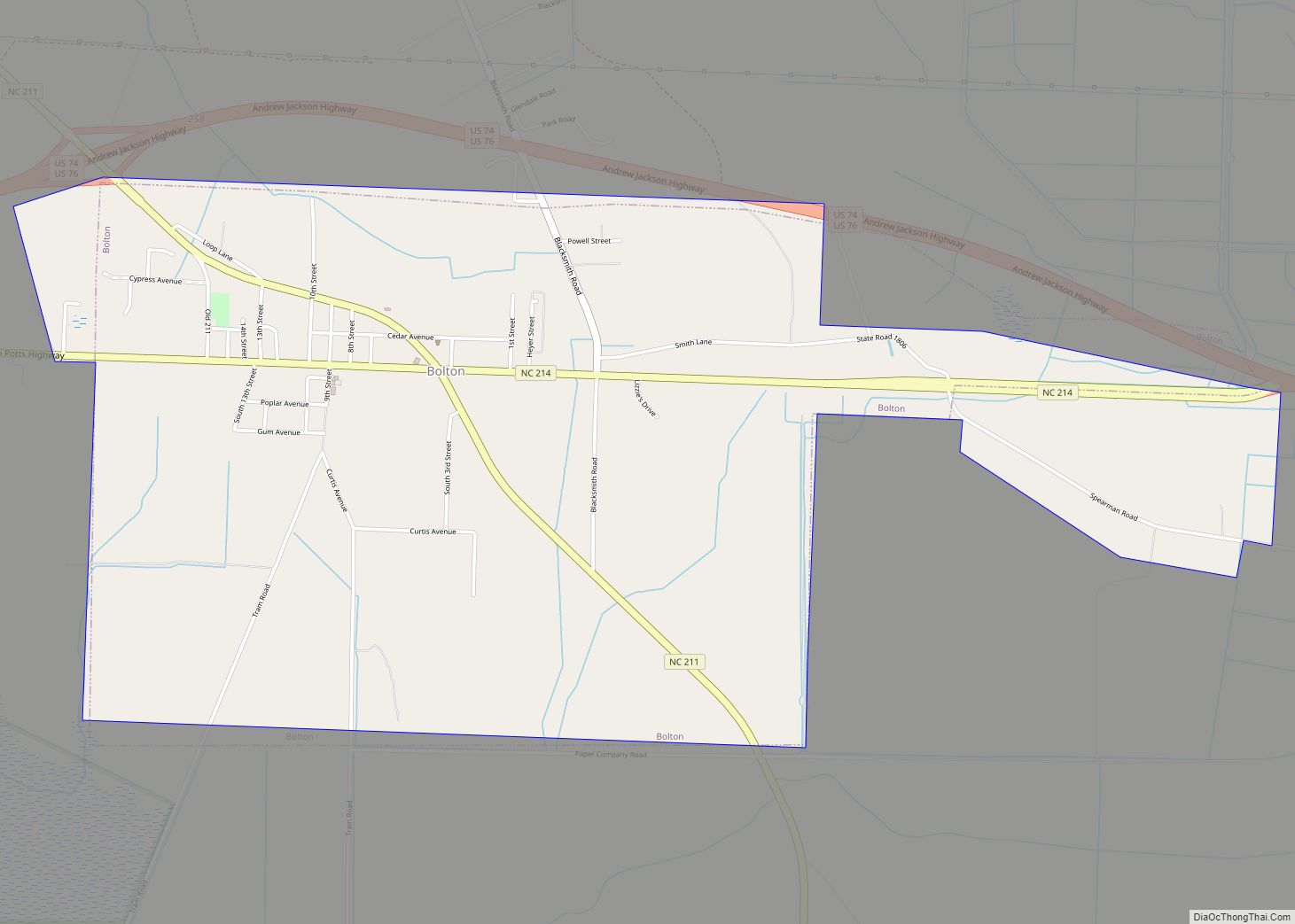
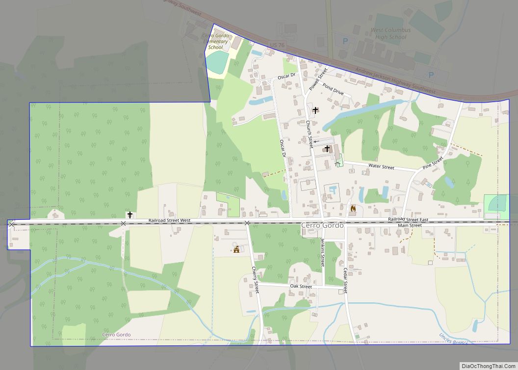
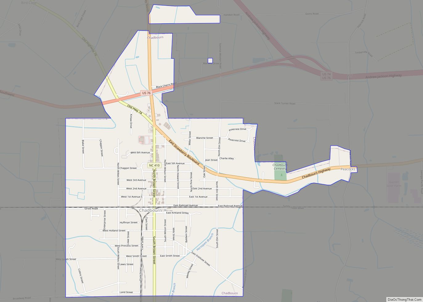
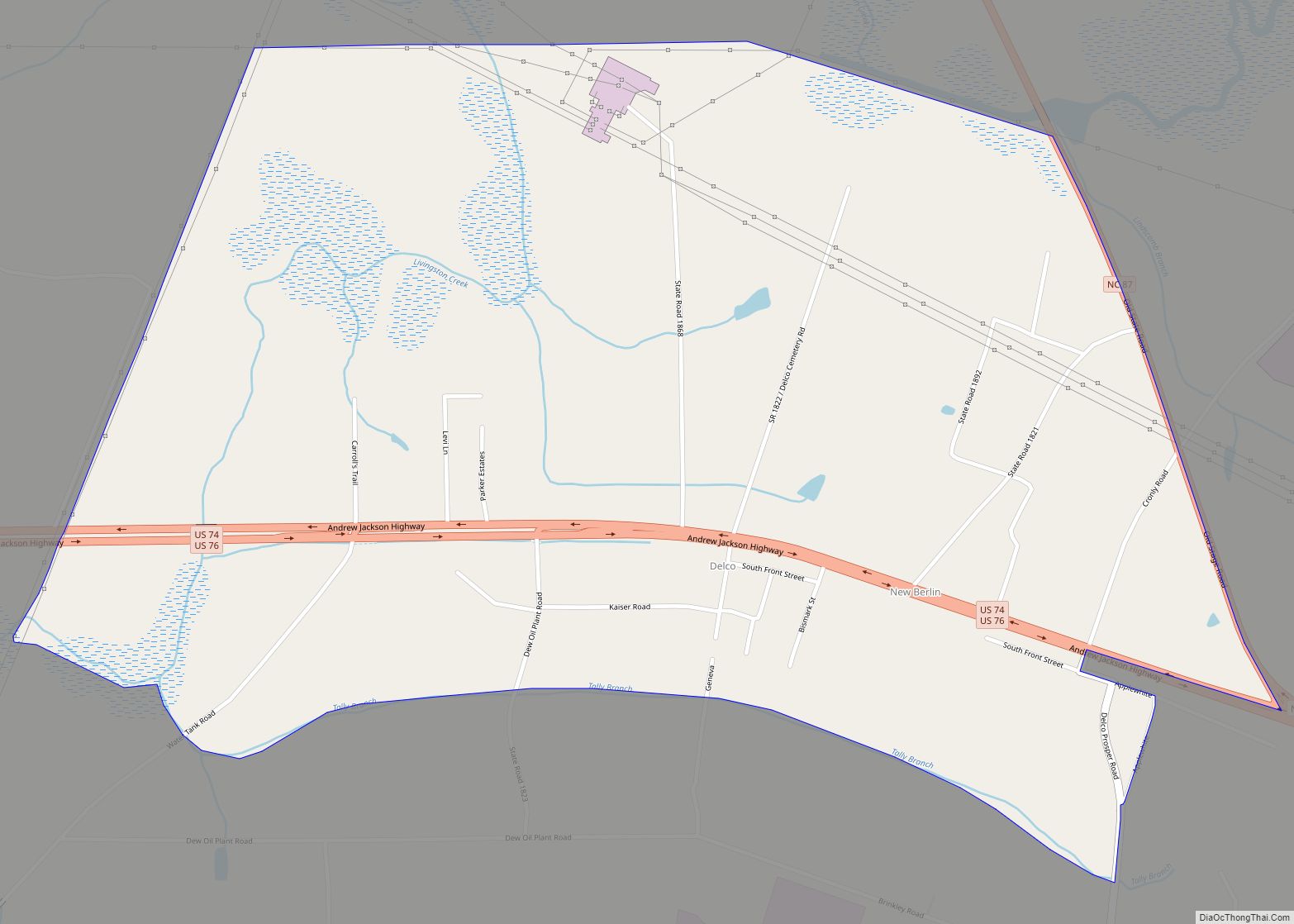
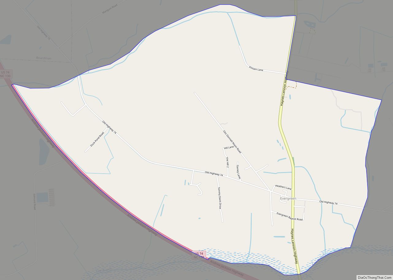
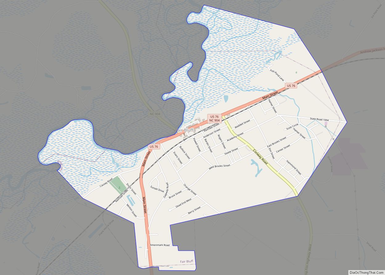
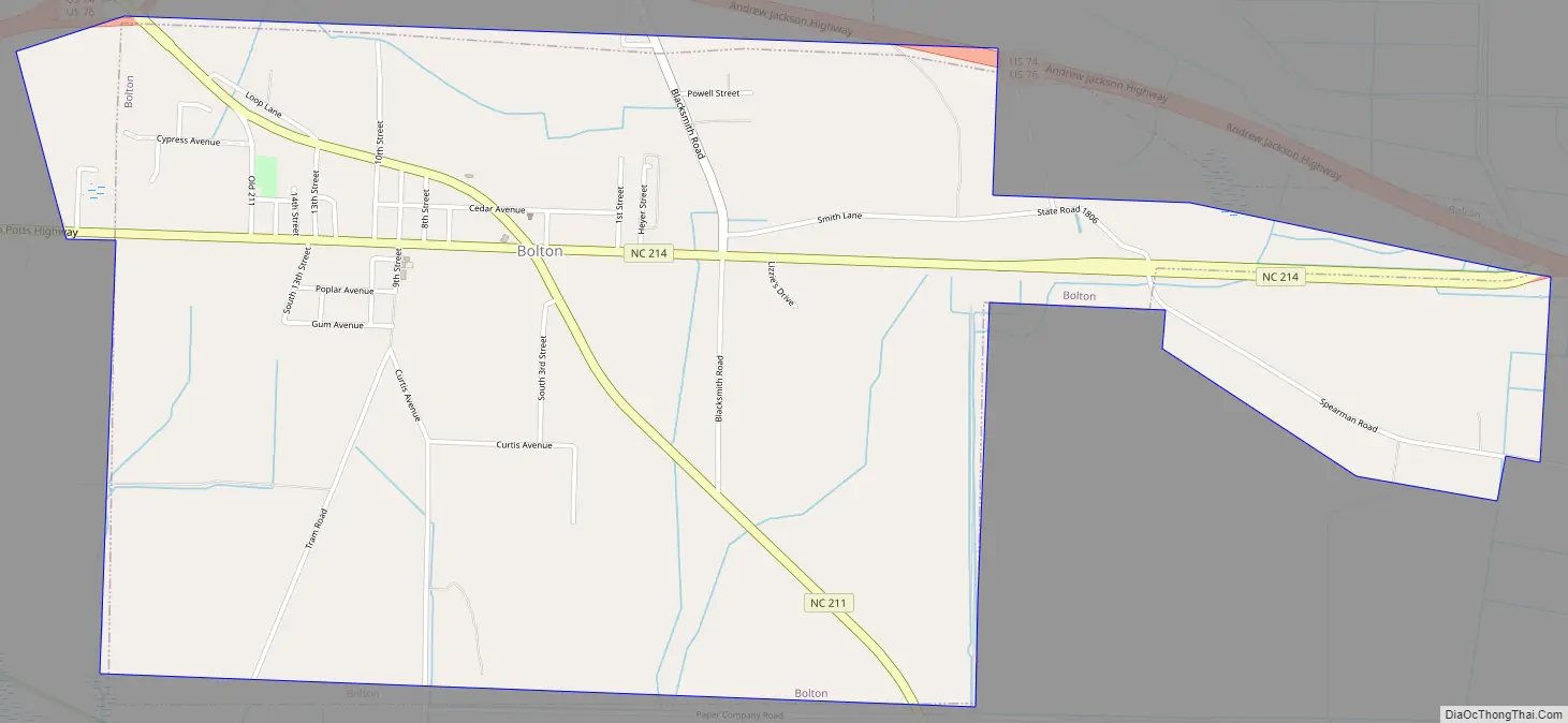
Bolton Road Map
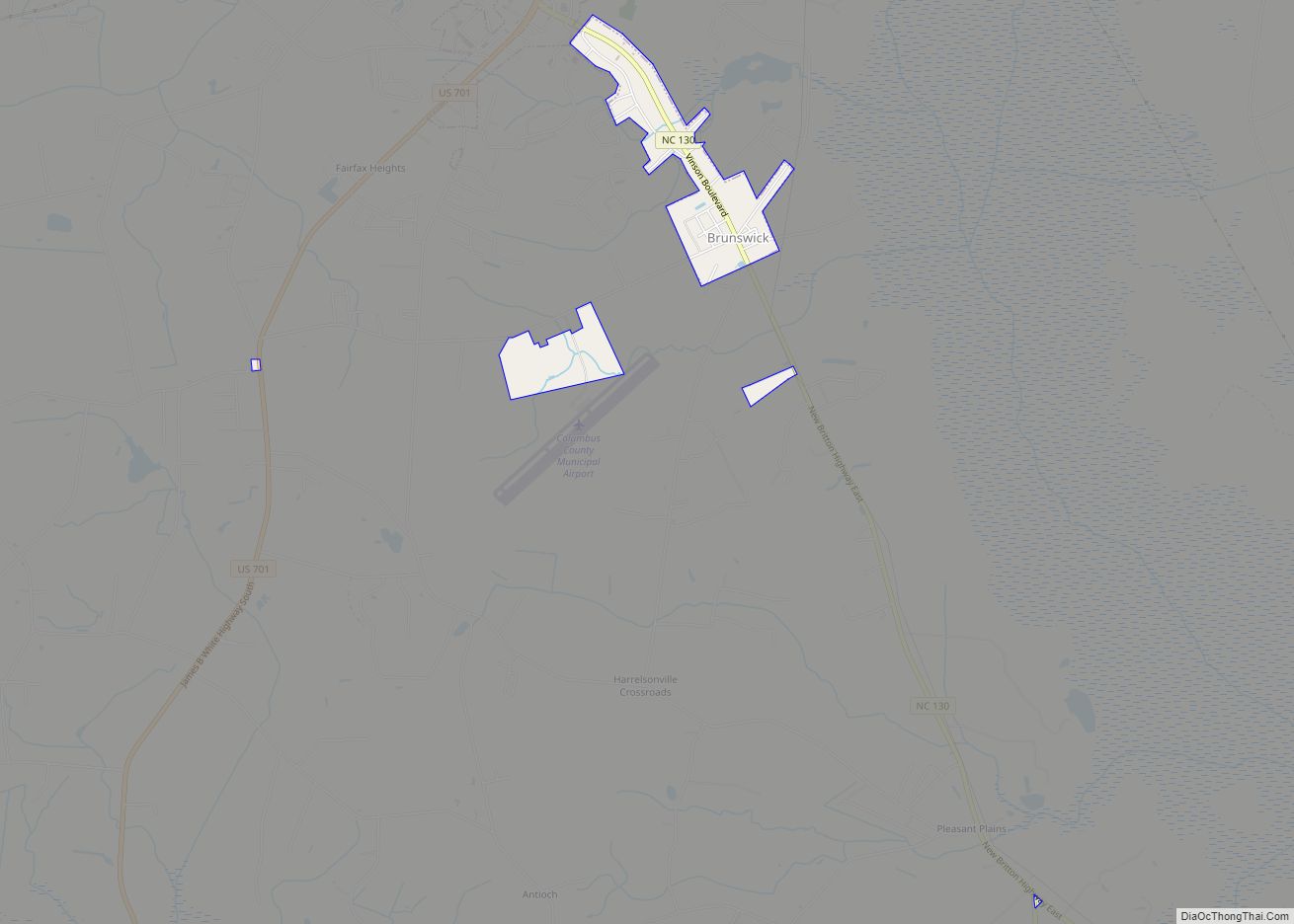
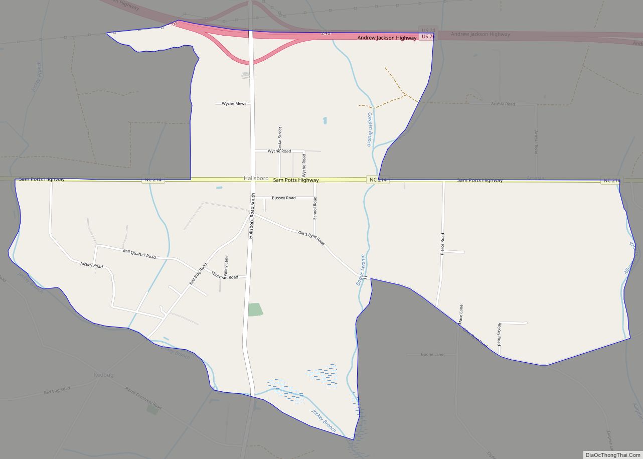
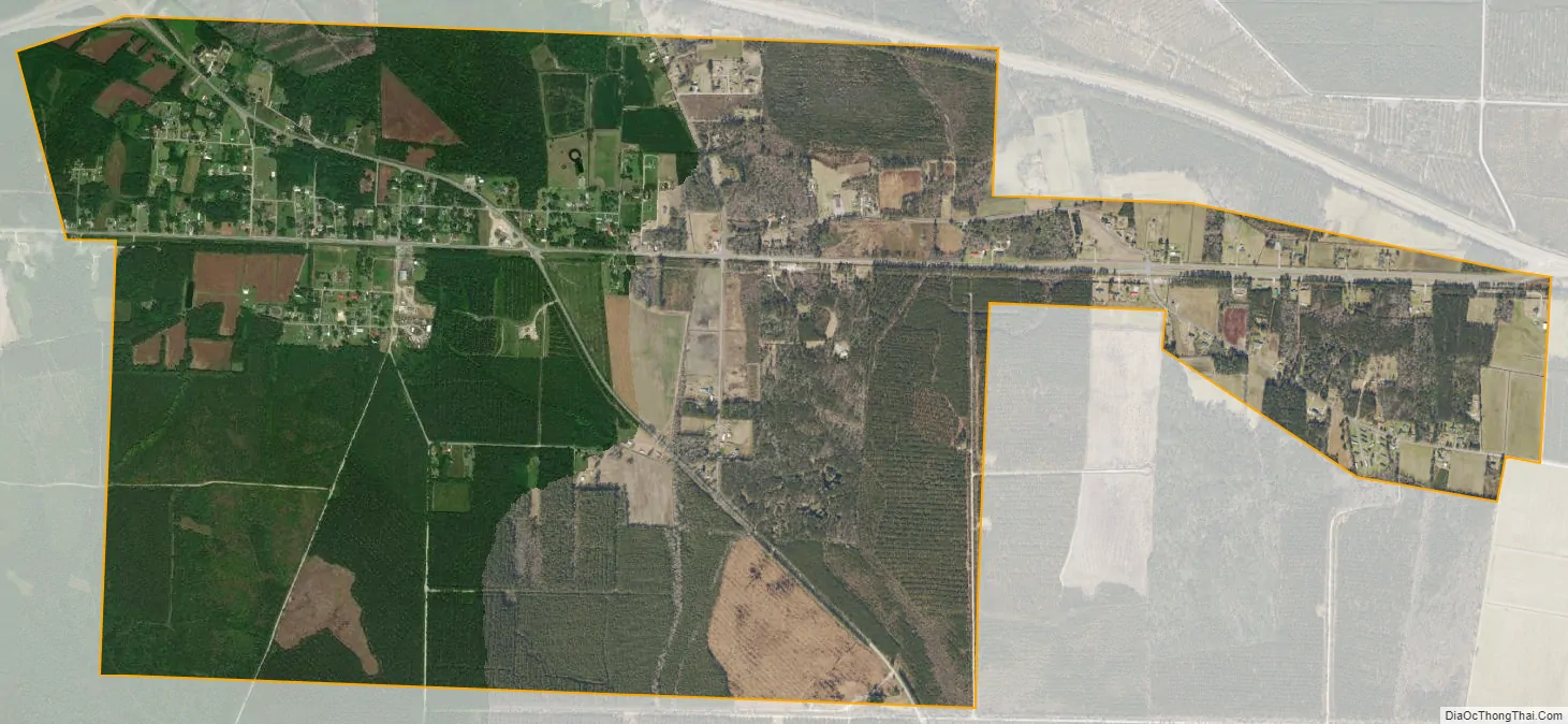
Bolton city Satellite Map
Geography
Bolton is located in eastern Columbus County at 34°19′12″N 78°24′18″W / 34.32000°N 78.40500°W / 34.32000; -78.40500 (34.320101, -78.404905) It sits at an altitude of 66 feet above sea level. The town is bypassed to the north by combined U.S. Routes 74 and 76, a four-lane divided highway. US 74/76 leads east 28 miles (45 km) to Wilmington and west 18 miles (29 km) to Whiteville, the Columbus County seat.
According to the United States Census Bureau, the town has a total area of 3.7 square miles (9.7 km), all land.
See also
Map of North Carolina State and its subdivision:- Alamance
- Alexander
- Alleghany
- Anson
- Ashe
- Avery
- Beaufort
- Bertie
- Bladen
- Brunswick
- Buncombe
- Burke
- Cabarrus
- Caldwell
- Camden
- Carteret
- Caswell
- Catawba
- Chatham
- Cherokee
- Chowan
- Clay
- Cleveland
- Columbus
- Craven
- Cumberland
- Currituck
- Dare
- Davidson
- Davie
- Duplin
- Durham
- Edgecombe
- Forsyth
- Franklin
- Gaston
- Gates
- Graham
- Granville
- Greene
- Guilford
- Halifax
- Harnett
- Haywood
- Henderson
- Hertford
- Hoke
- Hyde
- Iredell
- Jackson
- Johnston
- Jones
- Lee
- Lenoir
- Lincoln
- Macon
- Madison
- Martin
- McDowell
- Mecklenburg
- Mitchell
- Montgomery
- Moore
- Nash
- New Hanover
- Northampton
- Onslow
- Orange
- Pamlico
- Pasquotank
- Pender
- Perquimans
- Person
- Pitt
- Polk
- Randolph
- Richmond
- Robeson
- Rockingham
- Rowan
- Rutherford
- Sampson
- Scotland
- Stanly
- Stokes
- Surry
- Swain
- Transylvania
- Tyrrell
- Union
- Vance
- Wake
- Warren
- Washington
- Watauga
- Wayne
- Wilkes
- Wilson
- Yadkin
- Yancey
- Alabama
- Alaska
- Arizona
- Arkansas
- California
- Colorado
- Connecticut
- Delaware
- District of Columbia
- Florida
- Georgia
- Hawaii
- Idaho
- Illinois
- Indiana
- Iowa
- Kansas
- Kentucky
- Louisiana
- Maine
- Maryland
- Massachusetts
- Michigan
- Minnesota
- Mississippi
- Missouri
- Montana
- Nebraska
- Nevada
- New Hampshire
- New Jersey
- New Mexico
- New York
- North Carolina
- North Dakota
- Ohio
- Oklahoma
- Oregon
- Pennsylvania
- Rhode Island
- South Carolina
- South Dakota
- Tennessee
- Texas
- Utah
- Vermont
- Virginia
- Washington
- West Virginia
- Wisconsin
- Wyoming