Lansing is a town in Ashe County, North Carolina, United States. The population was 126 at the 2020 census.
| Name: | Lansing town |
|---|---|
| LSAD Code: | 43 |
| LSAD Description: | town (suffix) |
| State: | North Carolina |
| County: | Ashe County |
| Elevation: | 2,664 ft (812 m) |
| Total Area: | 0.38 sq mi (0.98 km²) |
| Land Area: | 0.37 sq mi (0.96 km²) |
| Water Area: | 0.01 sq mi (0.02 km²) |
| Total Population: | 126 |
| Population Density: | 340.54/sq mi (131.63/km²) |
| ZIP code: | 28643 |
| Area code: | 336 |
| FIPS code: | 3736960 |
| GNISfeature ID: | 1012683 |
| Website: | www.lansingnc.us |
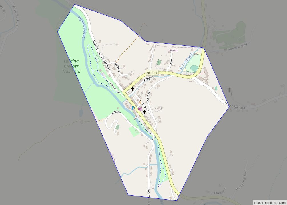
Online Interactive Map
Click on ![]() to view map in "full screen" mode.
to view map in "full screen" mode.
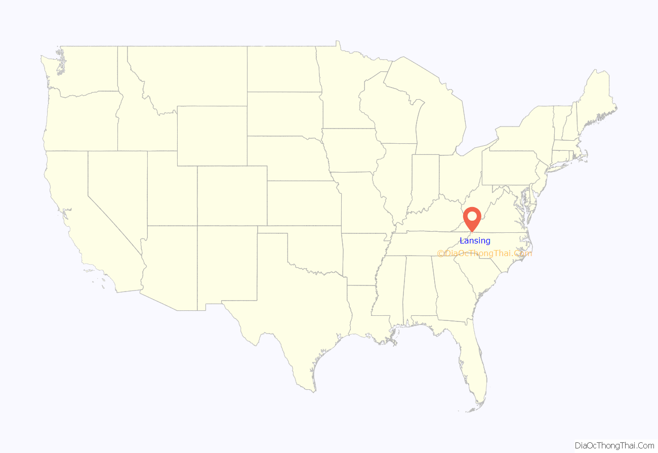
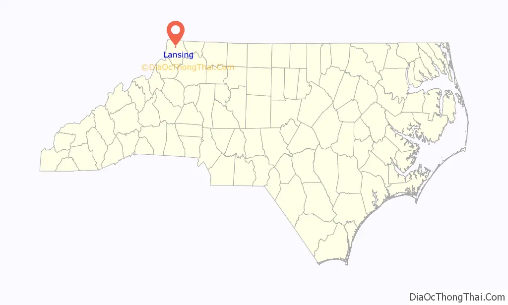
Lansing location map. Where is Lansing town?
History
The town of Lansing was incorporated May 16, 1928. Lansing has one stop sign (a single three-way intersection at Hwy. 194 and Big Horse Creek Road).
In the early 20th century, Lansing was a very busy place, primarily because of the Norfolk and Western Railroad Company, whose daily mixed train, nicknamed the “Virginia Creeper”, stopped here. Todd, West Jefferson, Lansing, White Oak, and other towns in North Carolina were also regular stopping places for the train. There were some productive iron mines around Lansing that used the railroad to move ore.
In the 1930s and 1940s Lansing was home to one of two cheese factories in Ashe County. Lansing’s cheese plant offered local farmers a place to bring their goods instead of traveling to the county’s other cheese plant in West Jefferson.
Lansing High School was built in 1941 by the Works Progress Administration (WPA) using very beautiful local granite stone.
The Clark-Miller Roller Mill, Lansing Historic District, Lansing School, Miller Homestead, and Perry-Shepherd Farm are listed on the National Register of Historic Places.
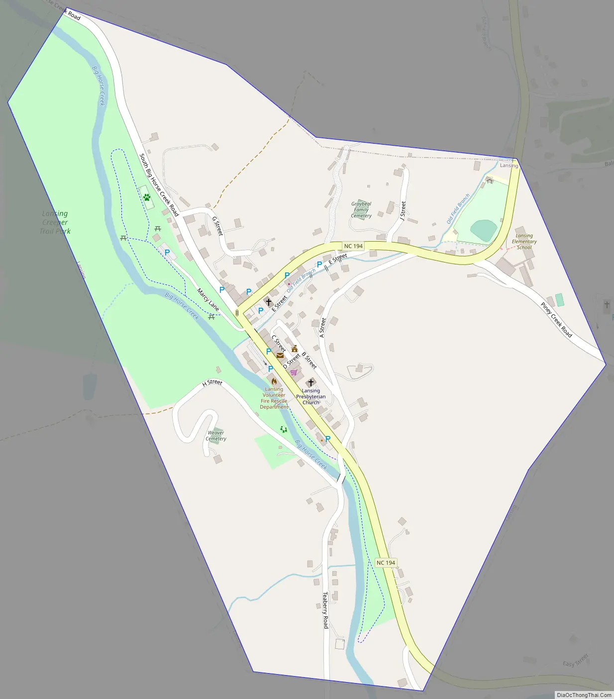
Lansing Road Map
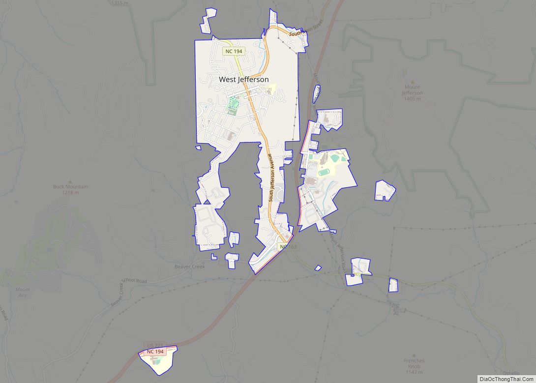
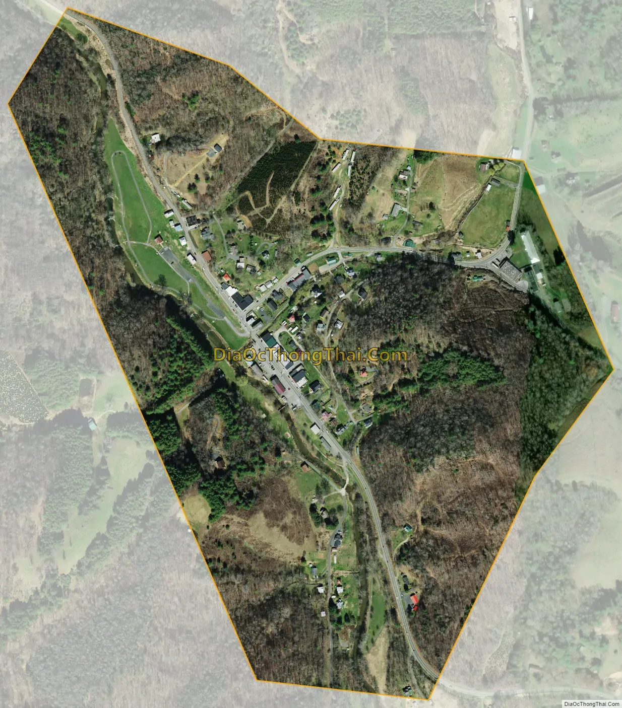
Lansing city Satellite Map
Geography
Lansing is located at 36°29′57″N 81°30′35″W / 36.49917°N 81.50972°W / 36.49917; -81.50972 (36.499091, -81.509617).
According to the United States Census Bureau, the town has a total area of 0.35 square miles (0.9 km), of which 0.0077 square miles (0.02 km), or 2.18%, is water.
See also
Map of North Carolina State and its subdivision:- Alamance
- Alexander
- Alleghany
- Anson
- Ashe
- Avery
- Beaufort
- Bertie
- Bladen
- Brunswick
- Buncombe
- Burke
- Cabarrus
- Caldwell
- Camden
- Carteret
- Caswell
- Catawba
- Chatham
- Cherokee
- Chowan
- Clay
- Cleveland
- Columbus
- Craven
- Cumberland
- Currituck
- Dare
- Davidson
- Davie
- Duplin
- Durham
- Edgecombe
- Forsyth
- Franklin
- Gaston
- Gates
- Graham
- Granville
- Greene
- Guilford
- Halifax
- Harnett
- Haywood
- Henderson
- Hertford
- Hoke
- Hyde
- Iredell
- Jackson
- Johnston
- Jones
- Lee
- Lenoir
- Lincoln
- Macon
- Madison
- Martin
- McDowell
- Mecklenburg
- Mitchell
- Montgomery
- Moore
- Nash
- New Hanover
- Northampton
- Onslow
- Orange
- Pamlico
- Pasquotank
- Pender
- Perquimans
- Person
- Pitt
- Polk
- Randolph
- Richmond
- Robeson
- Rockingham
- Rowan
- Rutherford
- Sampson
- Scotland
- Stanly
- Stokes
- Surry
- Swain
- Transylvania
- Tyrrell
- Union
- Vance
- Wake
- Warren
- Washington
- Watauga
- Wayne
- Wilkes
- Wilson
- Yadkin
- Yancey
- Alabama
- Alaska
- Arizona
- Arkansas
- California
- Colorado
- Connecticut
- Delaware
- District of Columbia
- Florida
- Georgia
- Hawaii
- Idaho
- Illinois
- Indiana
- Iowa
- Kansas
- Kentucky
- Louisiana
- Maine
- Maryland
- Massachusetts
- Michigan
- Minnesota
- Mississippi
- Missouri
- Montana
- Nebraska
- Nevada
- New Hampshire
- New Jersey
- New Mexico
- New York
- North Carolina
- North Dakota
- Ohio
- Oklahoma
- Oregon
- Pennsylvania
- Rhode Island
- South Carolina
- South Dakota
- Tennessee
- Texas
- Utah
- Vermont
- Virginia
- Washington
- West Virginia
- Wisconsin
- Wyoming