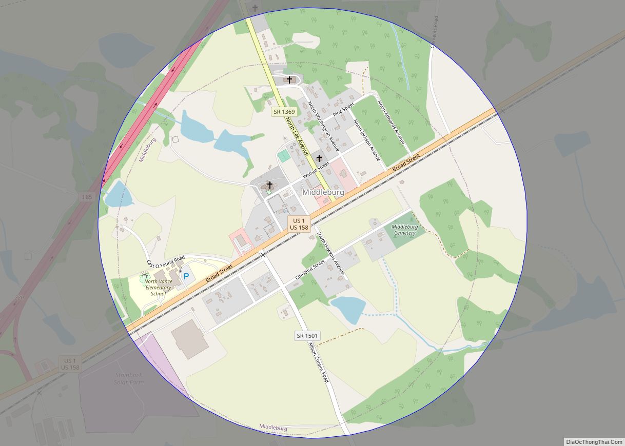
Middleburg is a town in Vance County, North Carolina, United States. The population was 133 at the 2010 census. It was in Warren County and known as Middleburgh prior to the establishment of Vance County in 1881.
| Name: | Middleburg town |
|---|---|
| LSAD Code: | 43 |
| LSAD Description: | town (suffix) |
| State: | North Carolina |
| County: | Vance County |
| Elevation: | 463 ft (141 m) |
| Total Area: | 0.79 sq mi (2.03 km²) |
| Land Area: | 0.79 sq mi (2.03 km²) |
| Water Area: | 0.00 sq mi (0.00 km²) |
| Total Population: | 101 |
| Population Density: | 128.66/sq mi (49.67/km²) |
| ZIP code: | 27556 |
| Area code: | 252 |
| FIPS code: | 3742640 |
| GNISfeature ID: | 1021435 |
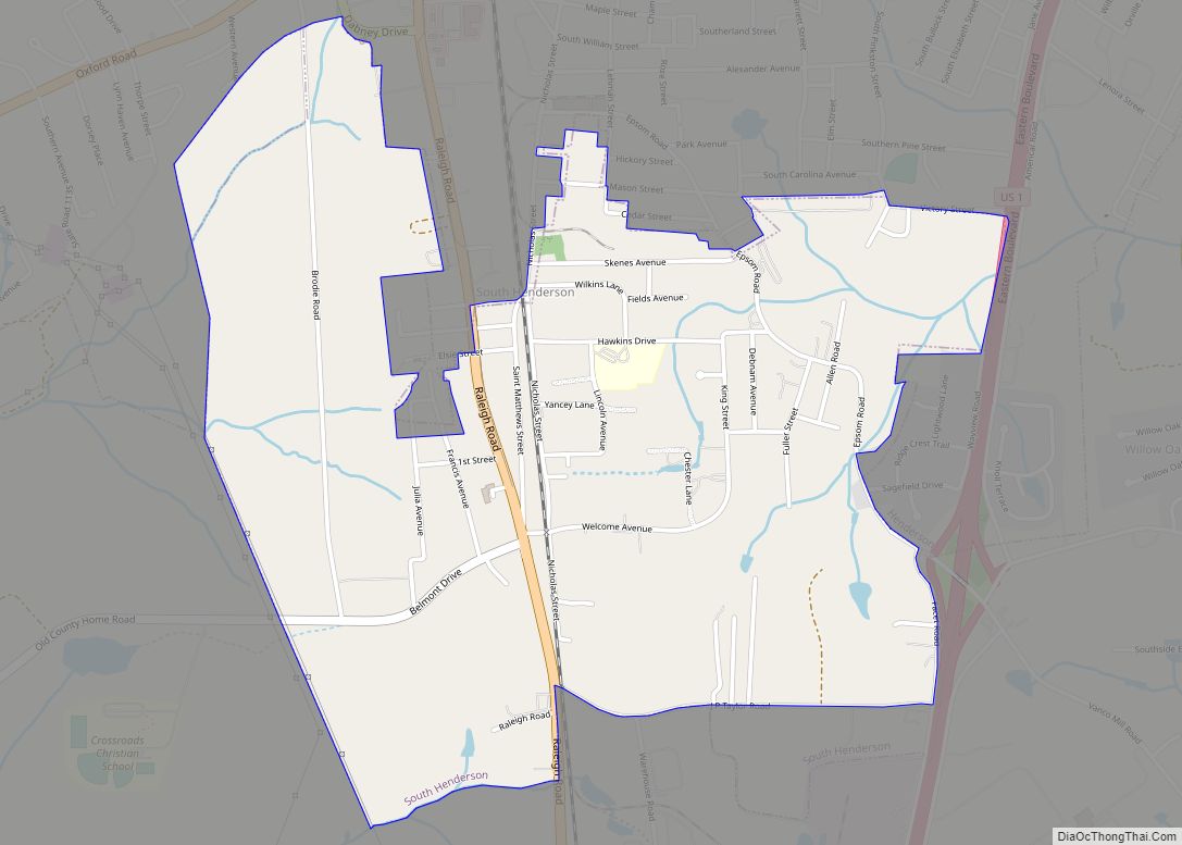
Online Interactive Map
Click on ![]() to view map in "full screen" mode.
to view map in "full screen" mode.
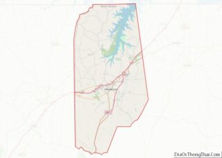
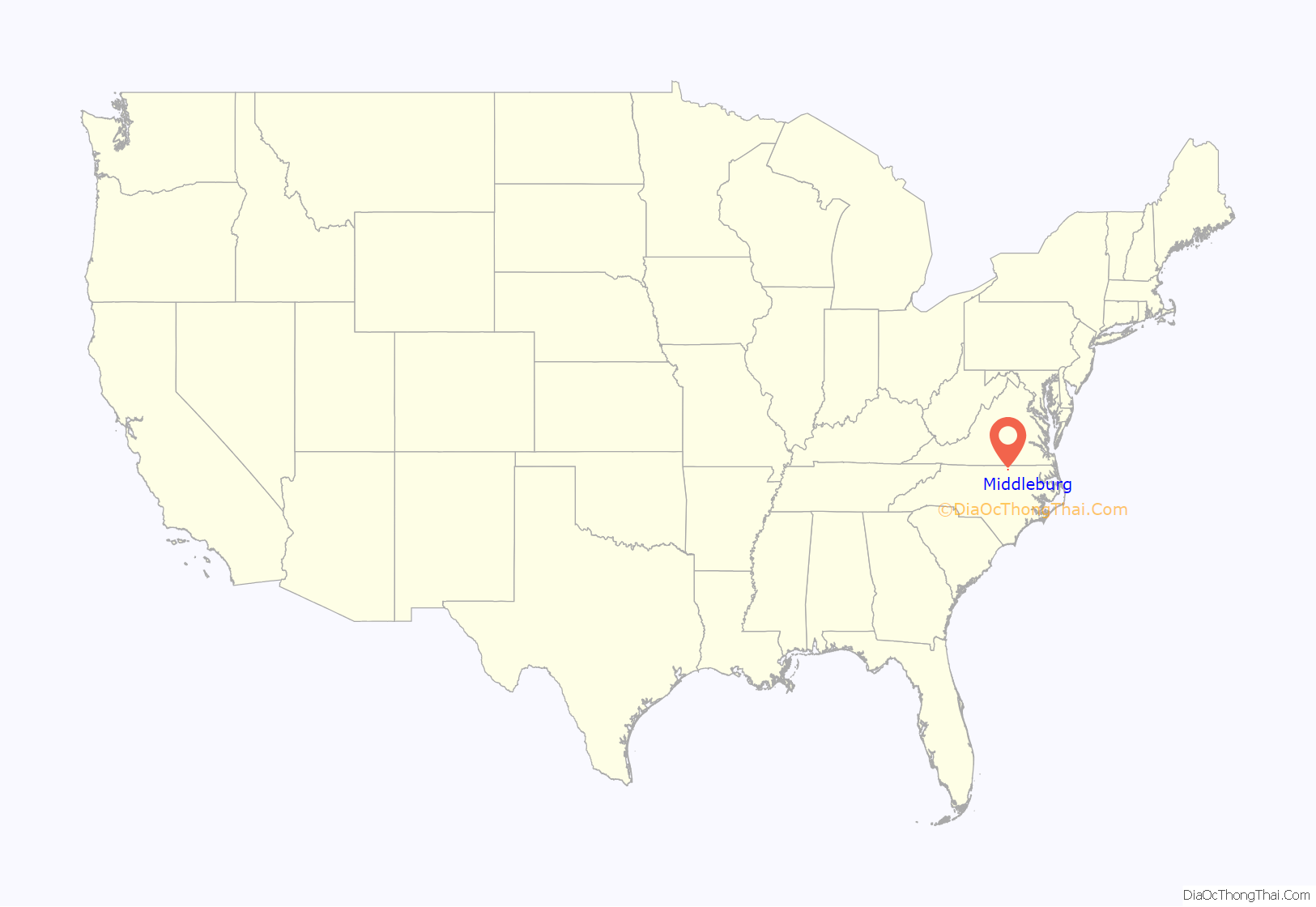
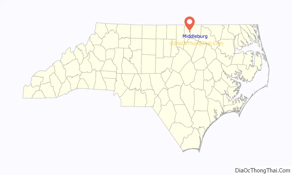
Middleburg location map. Where is Middleburg town?
History
Middleburg Baptist Church was established on November 27, 1881. The first pastor was Reverend M.V. McDuffy.
The Pleasant Hill/Hawkins House is located near Middleburg. It was listed on the National Register of Historic Places in 1979. The original dwelling was probably built by Colonel Philemon Hawkins, III. (1785-1842), and birthplace of Governor William Hawkins (1777-1819).
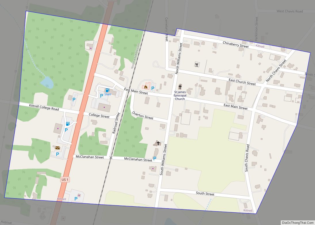
Middleburg Road Map
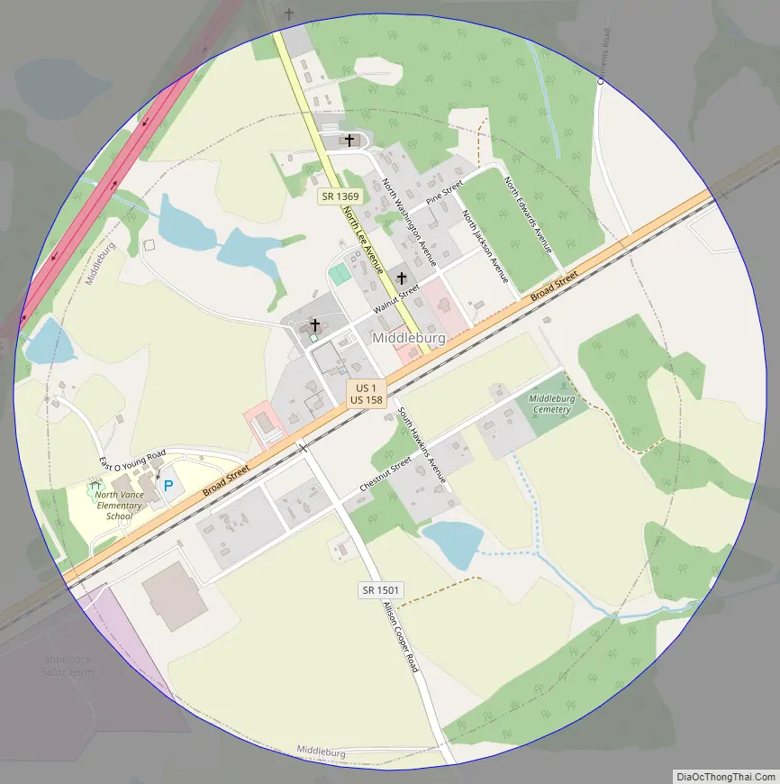
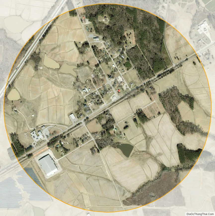
Middleburg city Satellite Map
Geography
Middleburg is located at 36°23′56″N 78°19′26″W / 36.39889°N 78.32389°W / 36.39889; -78.32389 (36.398820, -78.323922).
According to the United States Census Bureau, the town has a total area of 0.6 square mile (1.5 km), all land.
Middleburg is located roughly halfway between New York and Atlanta, which is possibly the etymology of the town.
See also
Map of North Carolina State and its subdivision:- Alamance
- Alexander
- Alleghany
- Anson
- Ashe
- Avery
- Beaufort
- Bertie
- Bladen
- Brunswick
- Buncombe
- Burke
- Cabarrus
- Caldwell
- Camden
- Carteret
- Caswell
- Catawba
- Chatham
- Cherokee
- Chowan
- Clay
- Cleveland
- Columbus
- Craven
- Cumberland
- Currituck
- Dare
- Davidson
- Davie
- Duplin
- Durham
- Edgecombe
- Forsyth
- Franklin
- Gaston
- Gates
- Graham
- Granville
- Greene
- Guilford
- Halifax
- Harnett
- Haywood
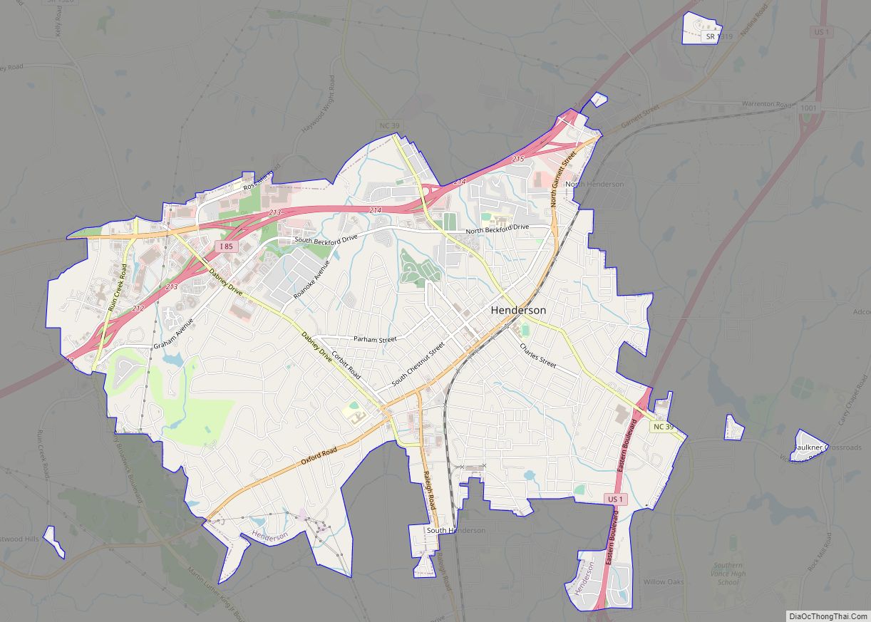
- Henderson
- Hertford
- Hoke
- Hyde
- Iredell
- Jackson
- Johnston
- Jones
- Lee
- Lenoir
- Lincoln
- Macon
- Madison
- Martin
- McDowell
- Mecklenburg
- Mitchell
- Montgomery
- Moore
- Nash
- New Hanover
- Northampton
- Onslow
- Orange
- Pamlico
- Pasquotank
- Pender
- Perquimans
- Person
- Pitt
- Polk
- Randolph
- Richmond
- Robeson
- Rockingham
- Rowan
- Rutherford
- Sampson
- Scotland
- Stanly
- Stokes
- Surry
- Swain
- Transylvania
- Tyrrell
- Union
- Vance
- Wake
- Warren
- Washington
- Watauga
- Wayne
- Wilkes
- Wilson
- Yadkin
- Yancey
- Alabama
- Alaska
- Arizona
- Arkansas
- California
- Colorado
- Connecticut
- Delaware
- District of Columbia
- Florida
- Georgia
- Hawaii
- Idaho
- Illinois
- Indiana
- Iowa
- Kansas
- Kentucky
- Louisiana
- Maine
- Maryland
- Massachusetts
- Michigan
- Minnesota
- Mississippi
- Missouri
- Montana
- Nebraska
- Nevada
- New Hampshire
- New Jersey
- New Mexico
- New York
- North Carolina
- North Dakota
- Ohio
- Oklahoma
- Oregon
- Pennsylvania
- Rhode Island
- South Carolina
- South Dakota
- Tennessee
- Texas
- Utah
- Vermont
- Virginia
- Washington
- West Virginia
- Wisconsin
- Wyoming